Elevation of Melstrand, MI, USA
Location: United States > Michigan > Alger County > Munising Township >
Longitude: -86.415162
Latitude: 46.4630114
Elevation: 284m / 932feet
Barometric Pressure: 98KPa
Elevation Map:
Satellite Map:
Related Photos:

"Superior View" Pictured Rocks National Lakeshore(Beaver Basin Wilderness)

Another view of the lighthouse on Grand Island. #puremichigan

Above Chapel Falls

Miners Castle Area, Munising, Michigan

Miners Castle Area, Munising, Michigan

View from Canoe Lake Campground near Pictured Rocks National Lakeshore

Miner's Castle View

View from Canoe Lake Campground near Pictured Rocks National Lakeshore

Elliot Falls Sunset

Collapse of the Grand Portal

Coming Soon to a Quarter Near You

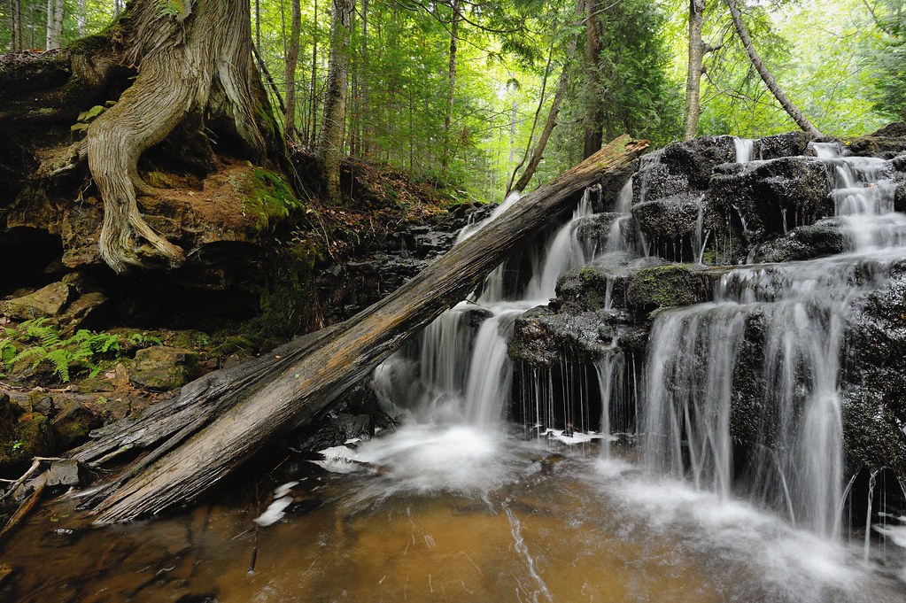
Chapel Falls

Pictured Rocks, Miners Castle

10082010CAN (121)

Grand Island East Channel Lighthouse

Miners Tower

Pictured Rocks

View from the top at Miner's Castle in Upper Peninsula, MI ???????? #puremichigan, #upperpenninsula, #minerscastle

Chapel Falls

Miner's Castle

Pictured Rocks and Lake Superior

Emerald Forest
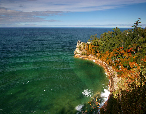
Miner's Castle

Pictured Rocks National Lakeshore - Miners Castle - Munising, Michigan

Pictured Rocks National Lakeshore - Miners Castle Overlook

Feathered Cliff
Mosquito river - Pictured Rocks National Lakeshore

Miners Beach Falls , Pictured Rocks National Lakeshore, Michigans upper peninsula (explore # 61 Oct 14, 2010)
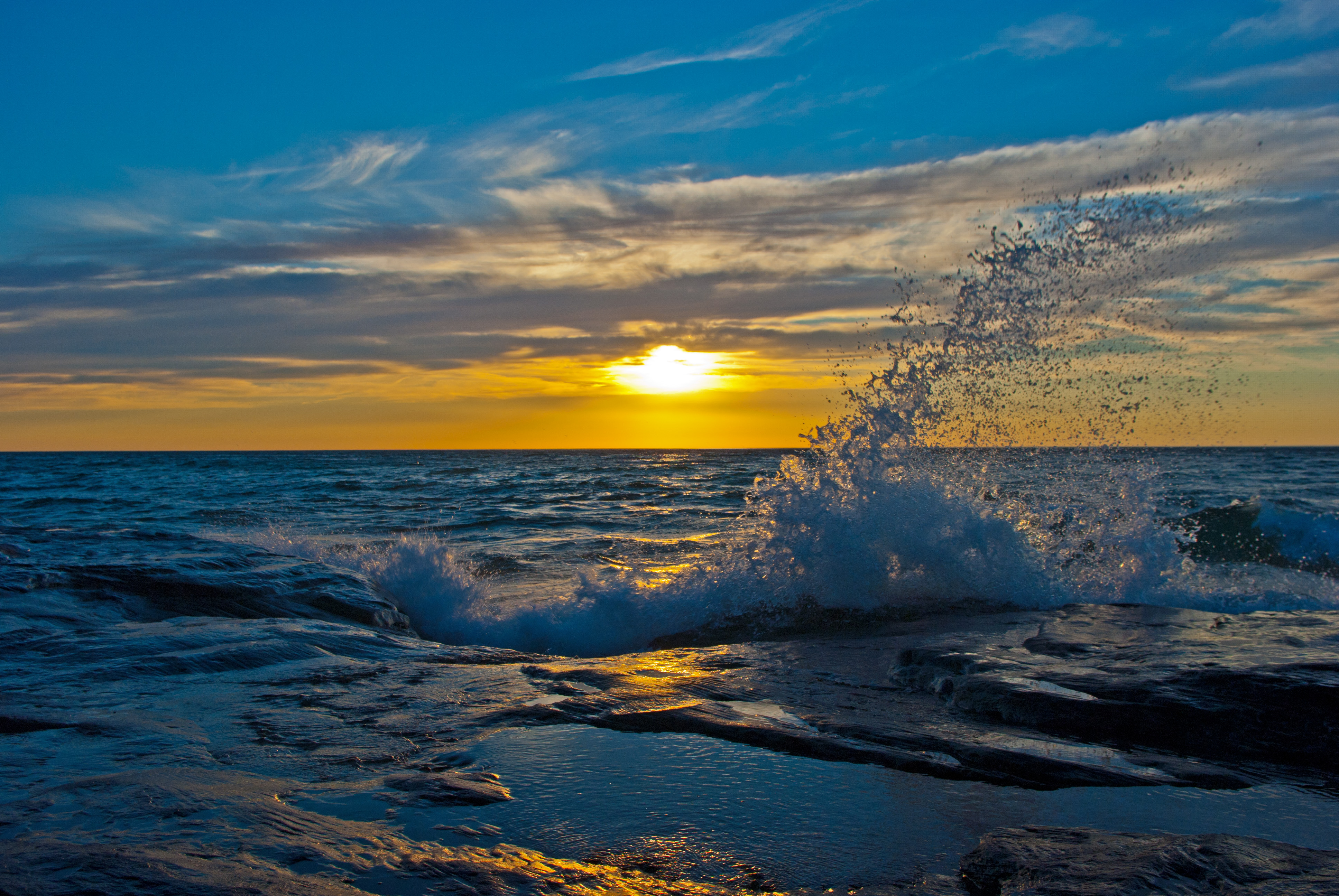
Sunset over the Coves and waves

Pictured Rocks

DSC00439.JPG.1_filtered

Miners Castle

Miners Falls_Pictured Rocks National Lakeshore, Michigan

Lovers Leap_Pictured Rocks National Lakeshore, Michigan

DSC00791.1

Grand Island East Channel Light

Pictured Rocks
Topographic Map of Melstrand, MI, USA
Find elevation by address:

Places near Melstrand, MI, USA:
Alger County
Munising Township
Munising
Grand Island Township
E8035
Sunset
Seney Township
A & L Grocery
Au Train
North Shore Road
Northwoods Resort
Lavalleys Resort & Red Barn Rock, Antique Shop
Au Train Lake Bed And Breakfast
Grand Marais
Onota Township
Deerton
M-28, Deerton, MI, USA
Lakenenland
400 Shot Point Dr
Lake Superior
Recent Searches:
- Elevation of Corso Fratelli Cairoli, 35, Macerata MC, Italy
- Elevation of Tallevast Rd, Sarasota, FL, USA
- Elevation of 4th St E, Sonoma, CA, USA
- Elevation of Black Hollow Rd, Pennsdale, PA, USA
- Elevation of Oakland Ave, Williamsport, PA, USA
- Elevation of Pedrógão Grande, Portugal
- Elevation of Klee Dr, Martinsburg, WV, USA
- Elevation of Via Roma, Pieranica CR, Italy
- Elevation of Tavkvetili Mountain, Georgia
- Elevation of Hartfords Bluff Cir, Mt Pleasant, SC, USA