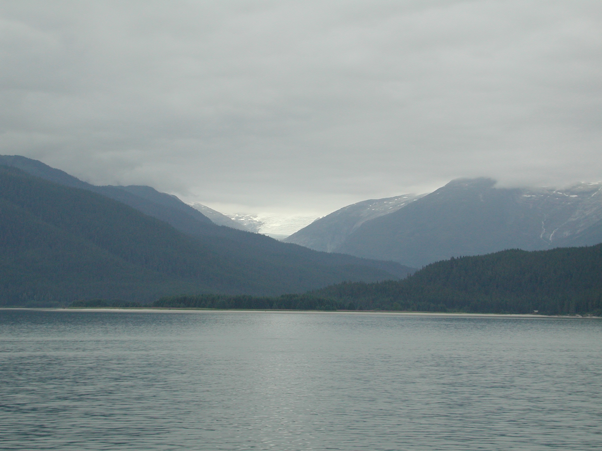
Elevation map of Melozitna River, Alaska, USA
Location: United States > Alaska > Yukon-koyukuk >
Longitude: -154.18518
Latitude: 65.3978076
Elevation: 493m / 1617feet
Barometric Pressure: 96KPa
Elevation Map:
Satellite Map:
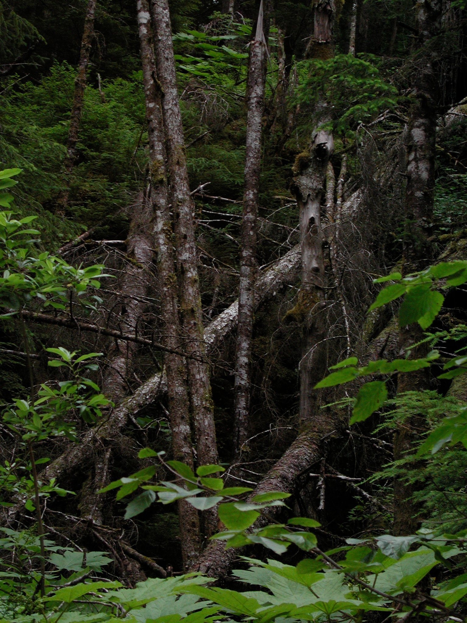
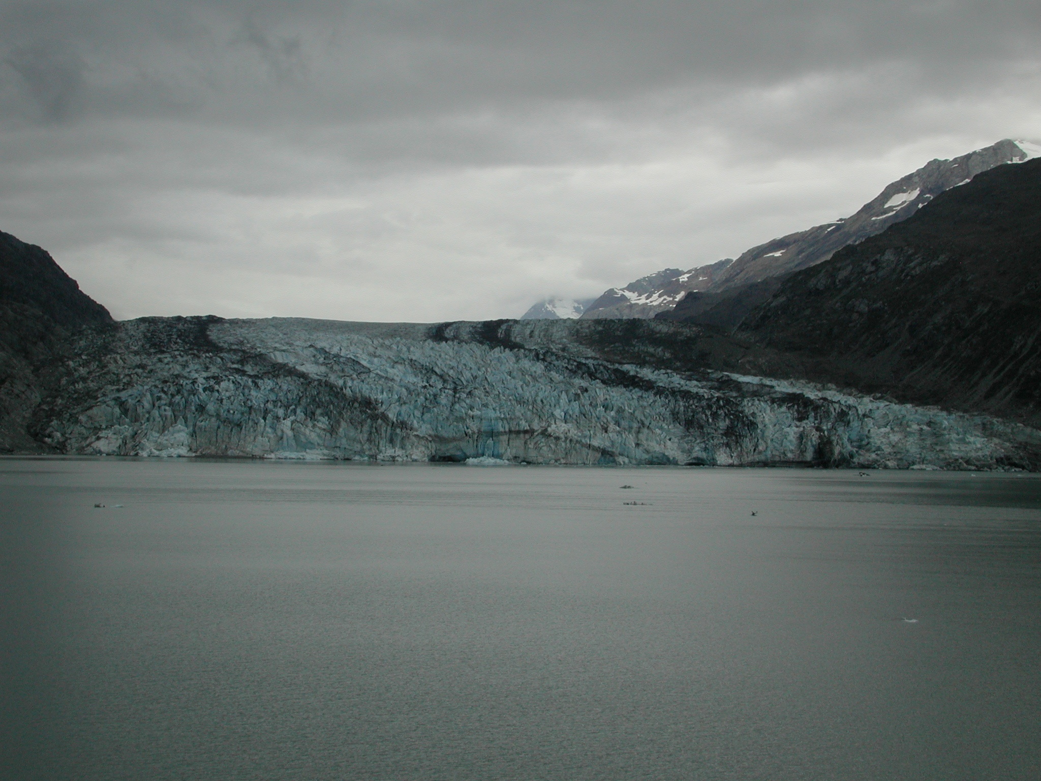
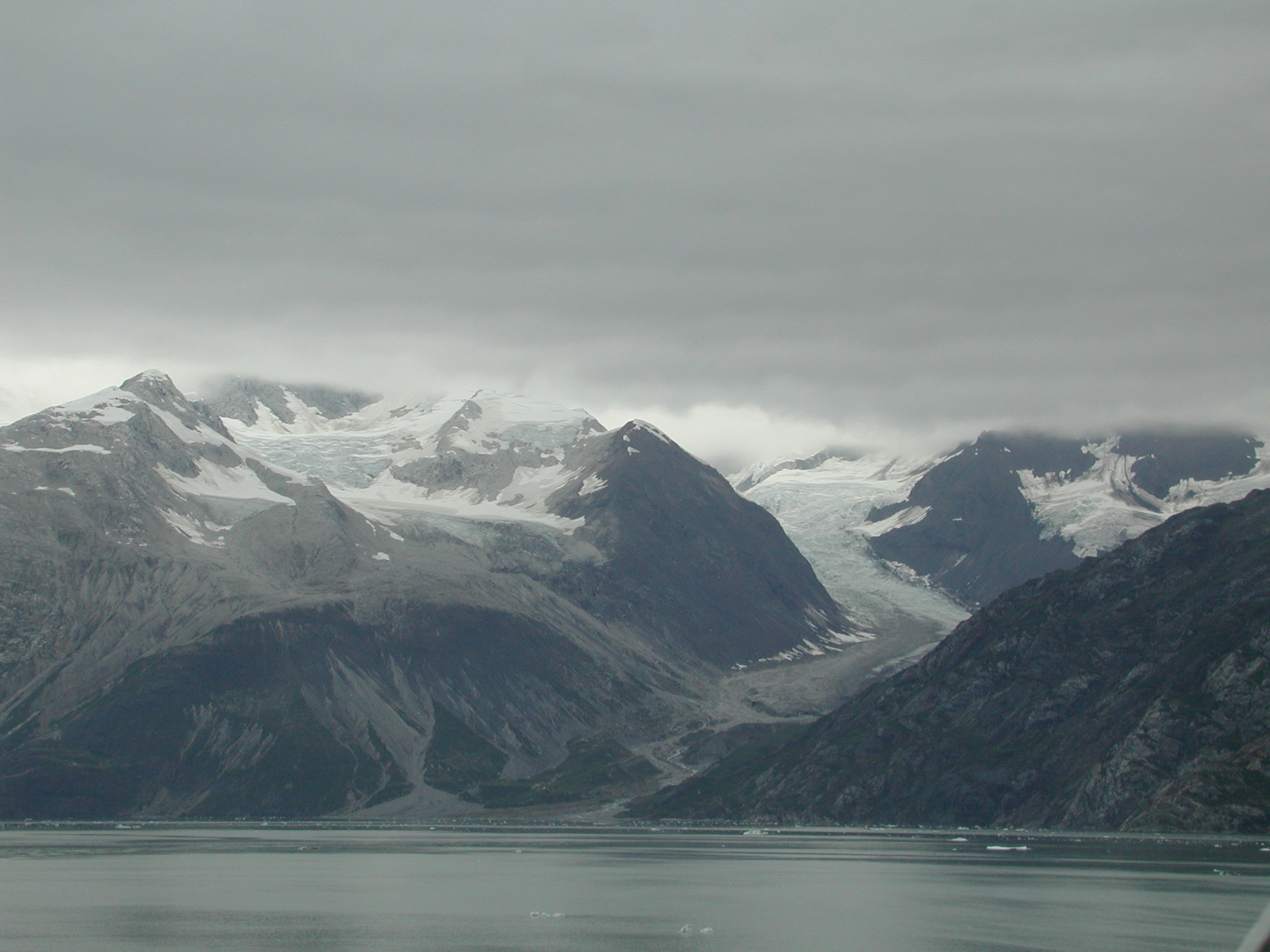
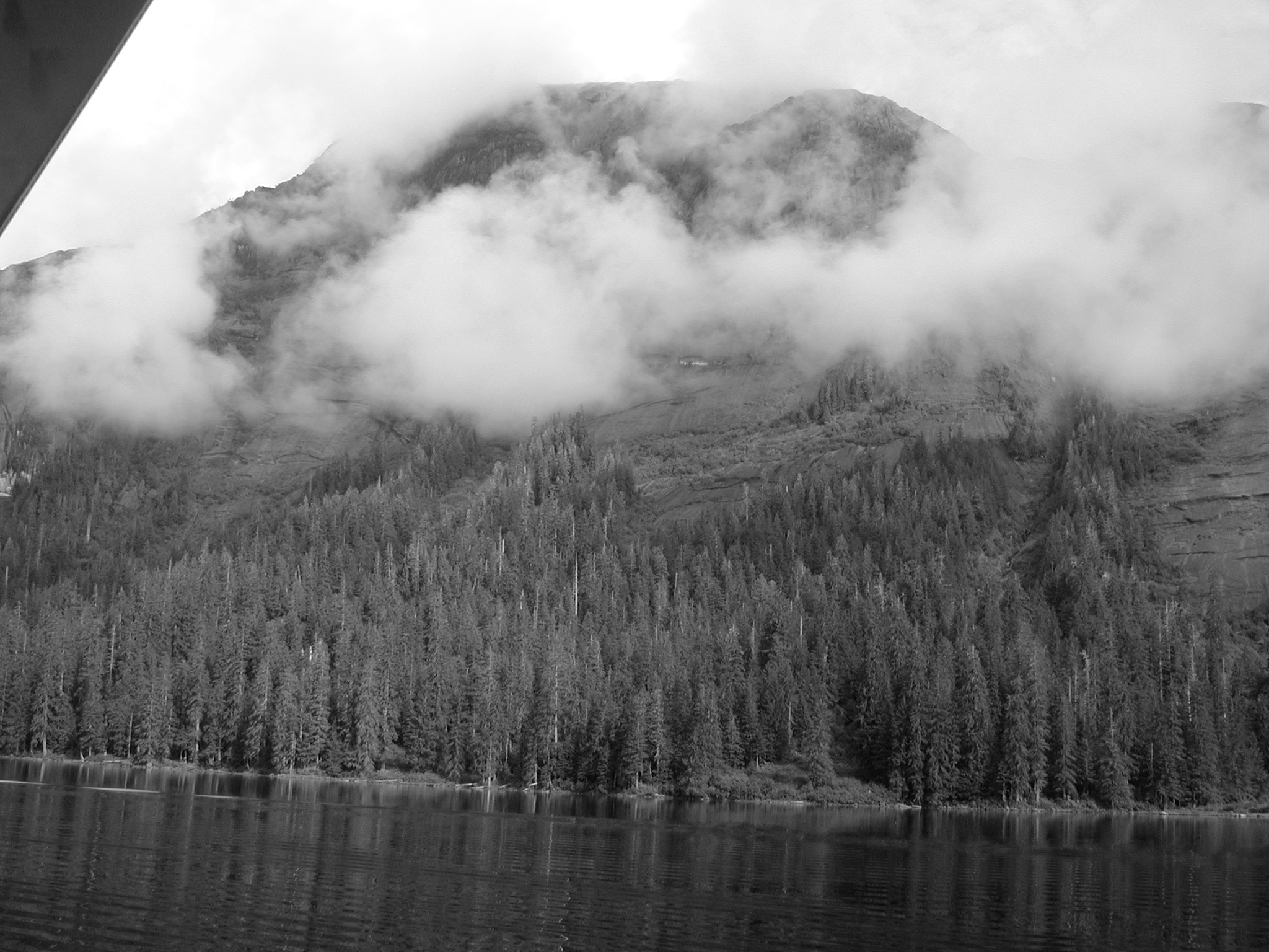
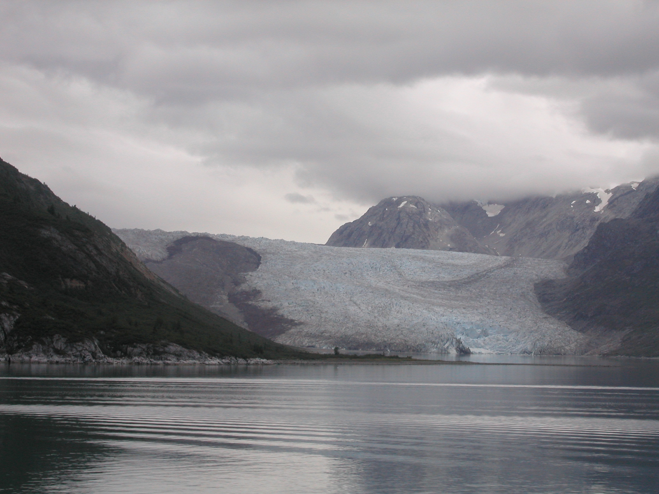
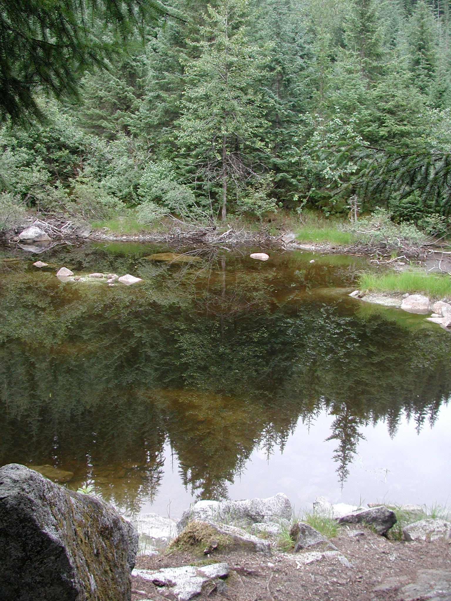
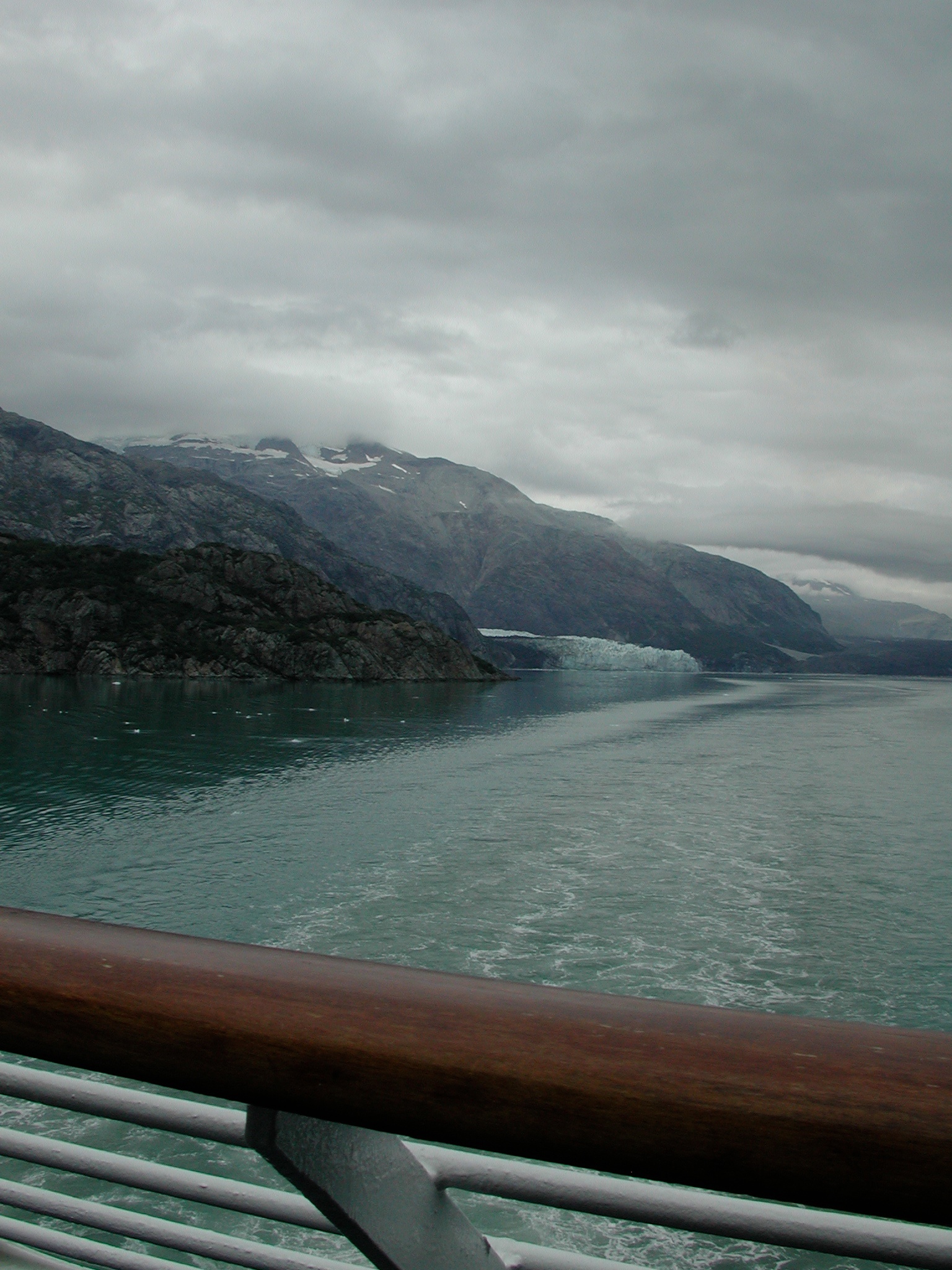
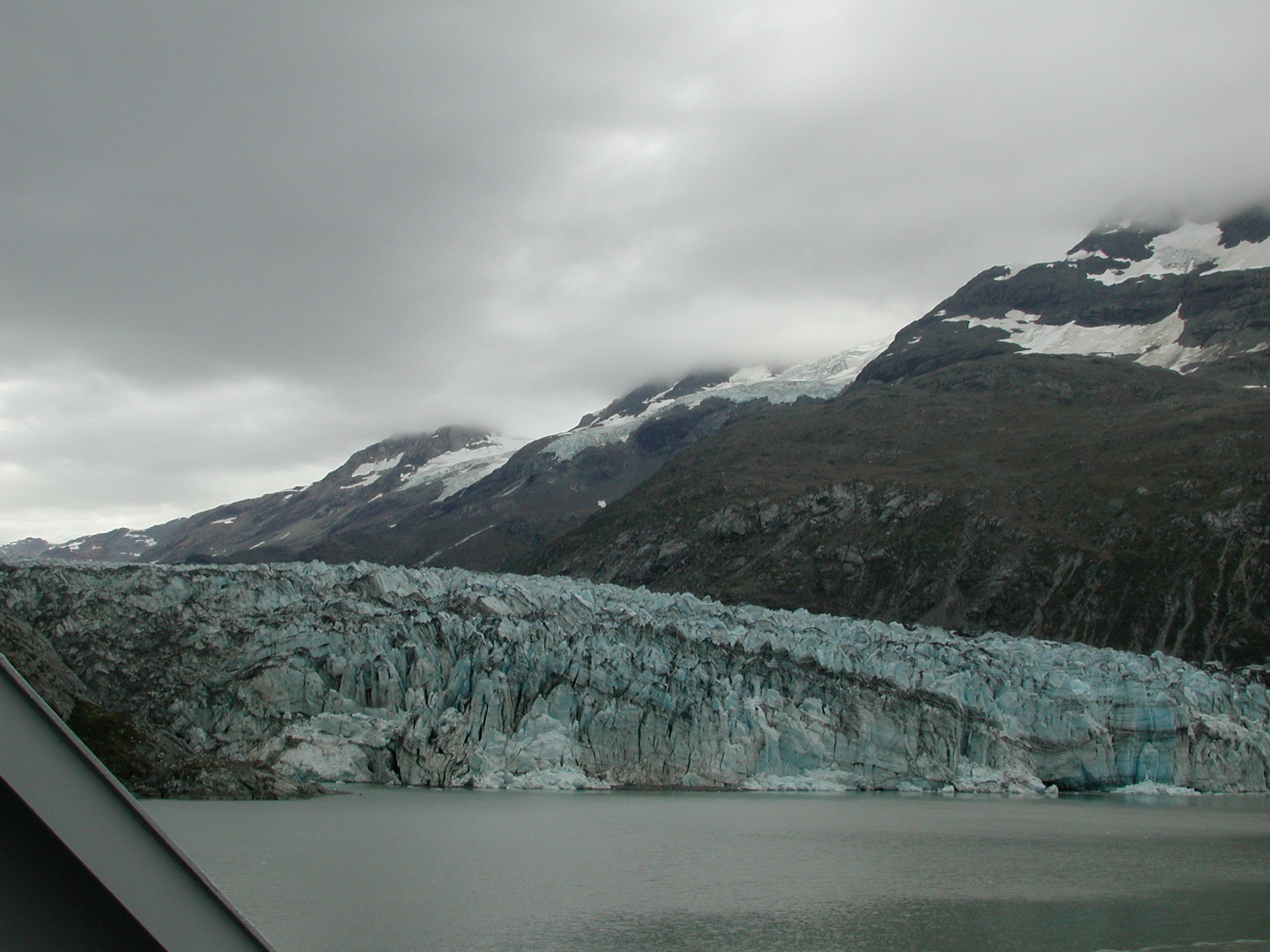
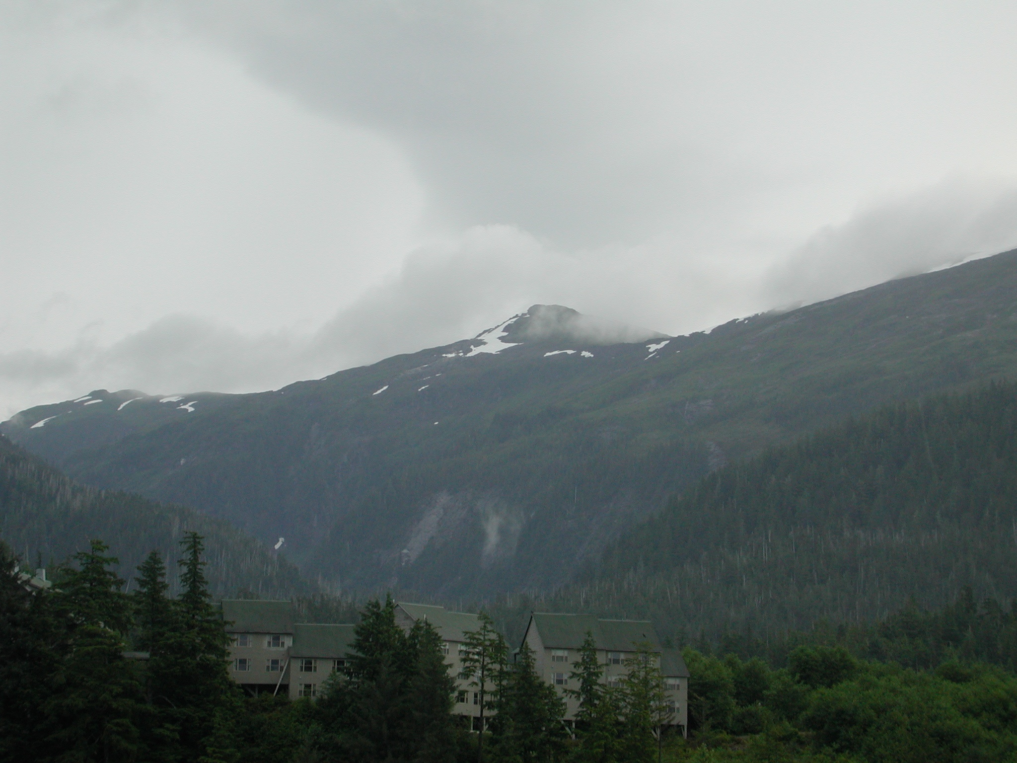
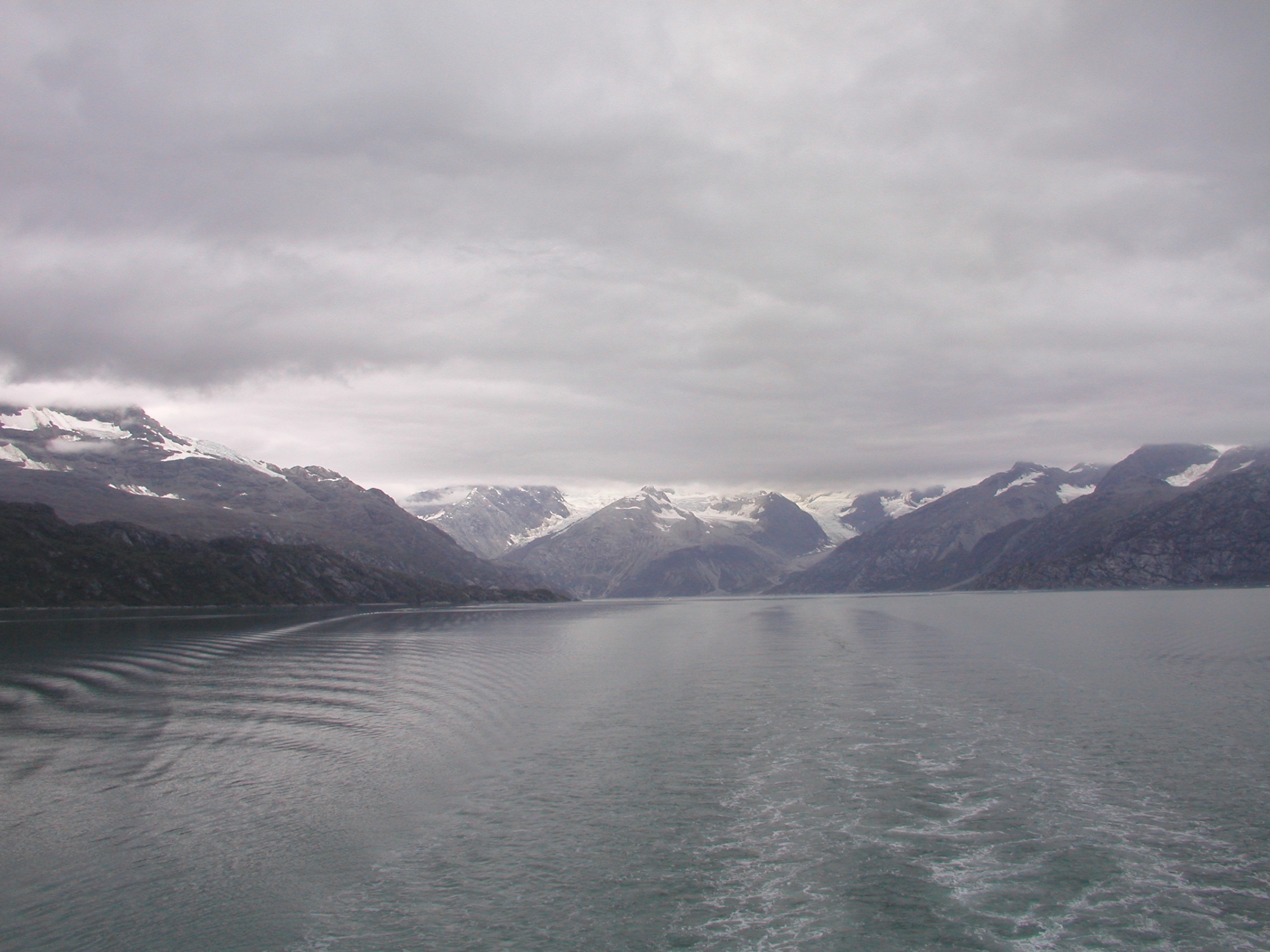
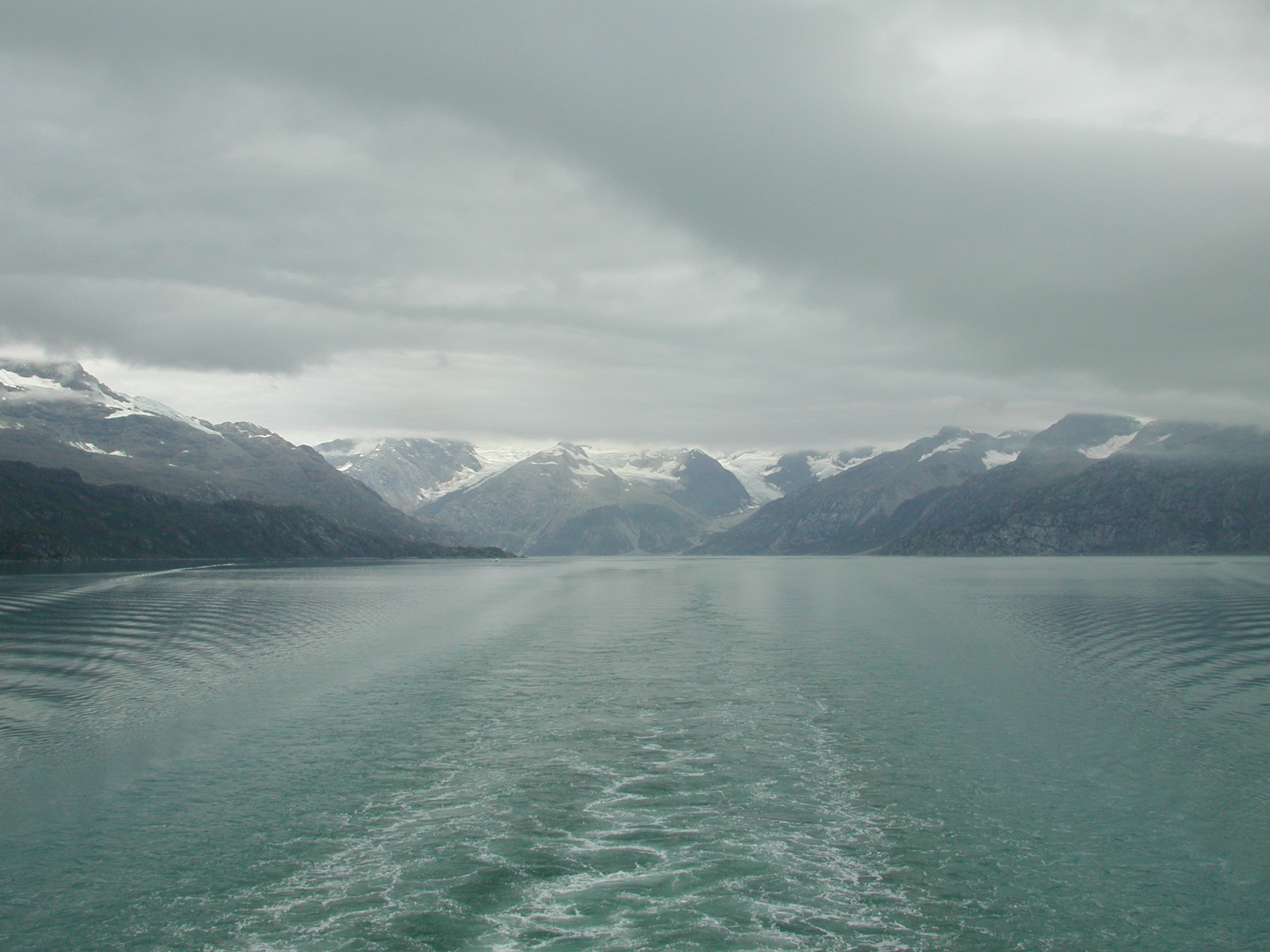
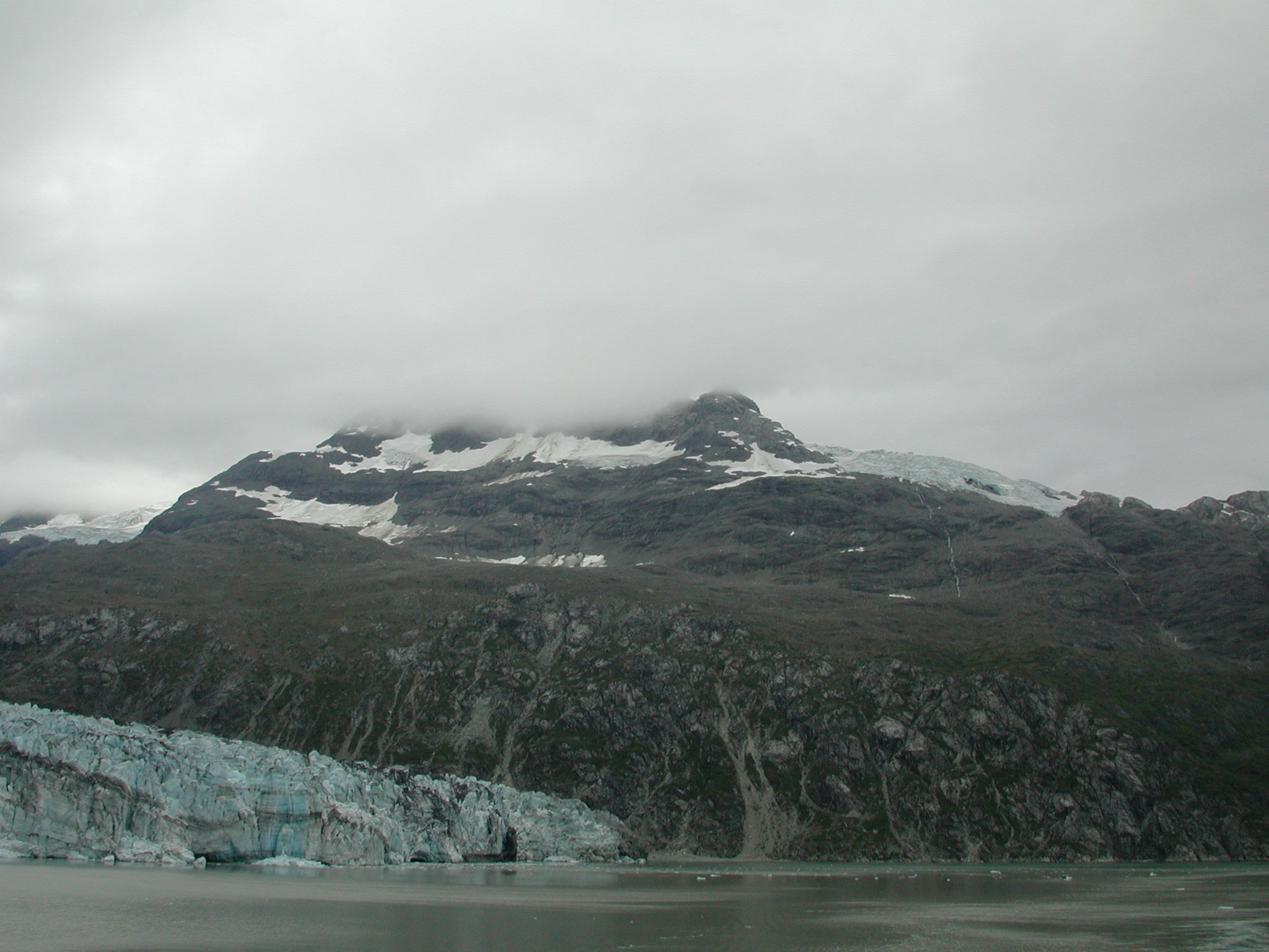
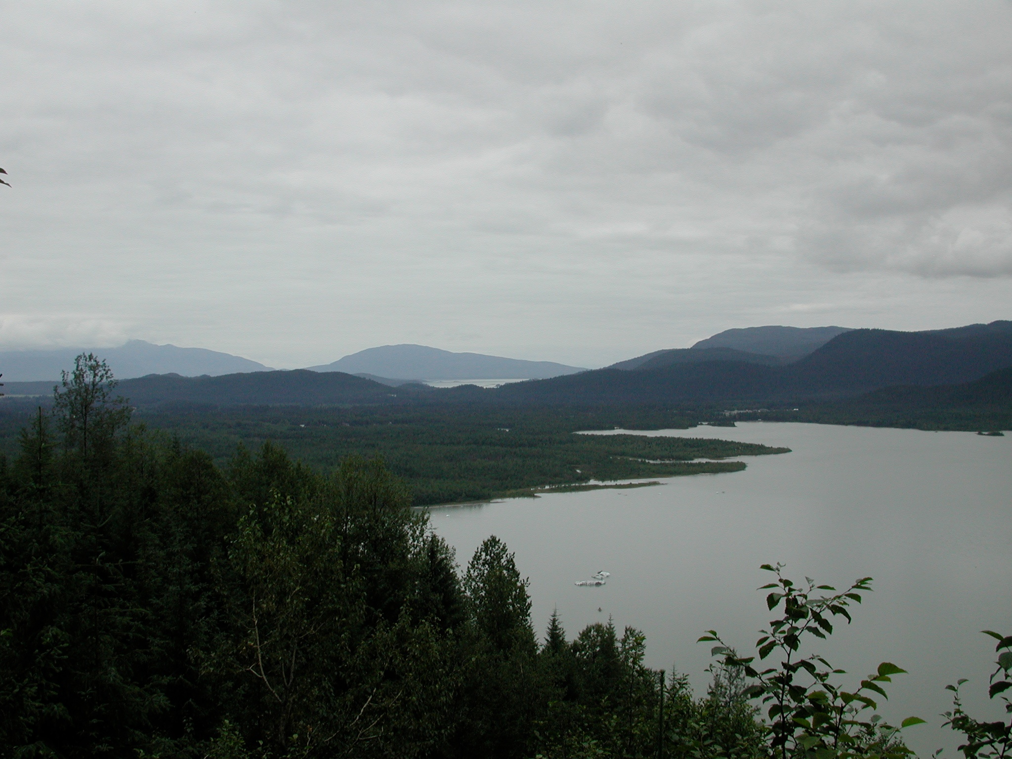
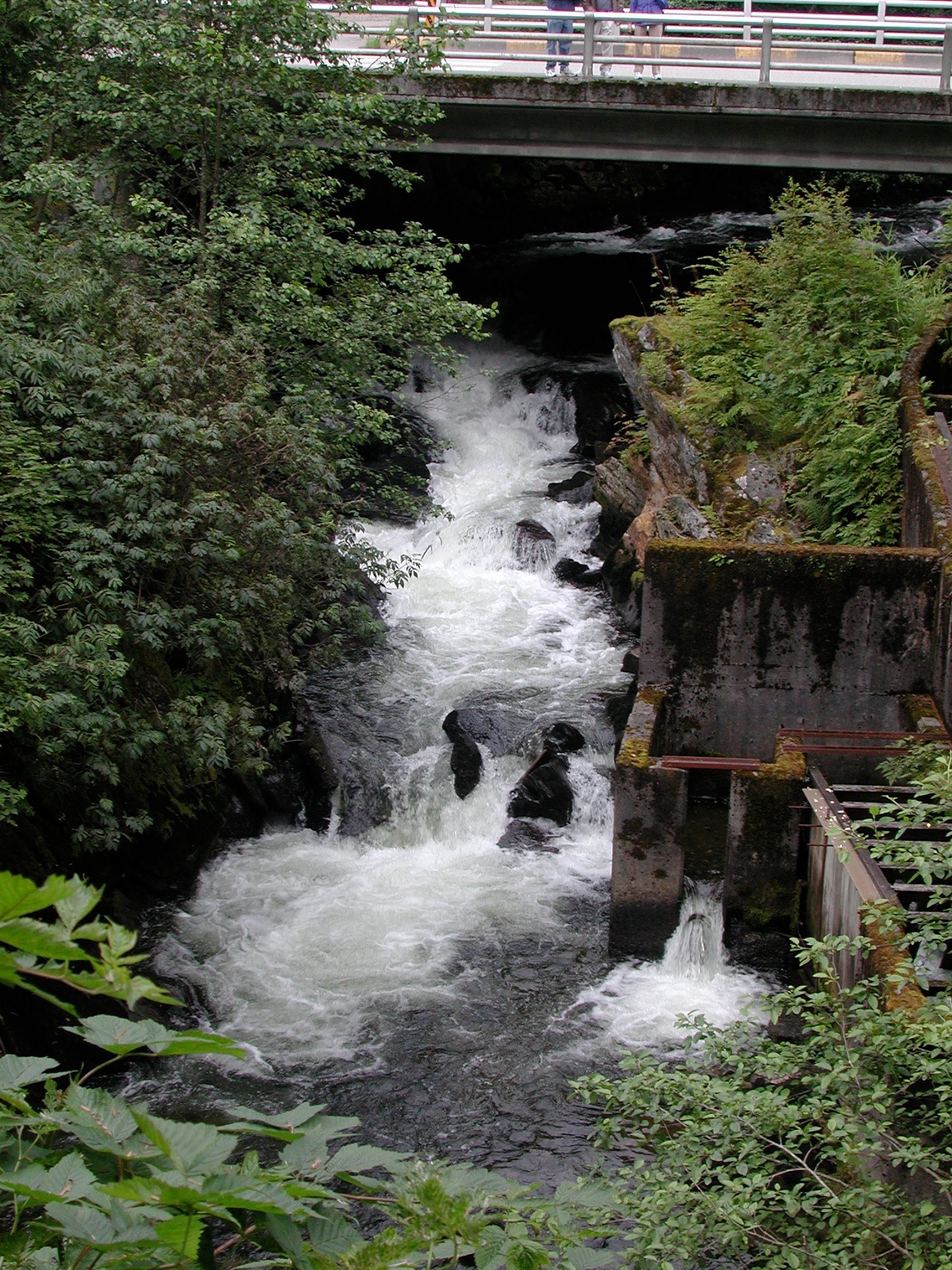
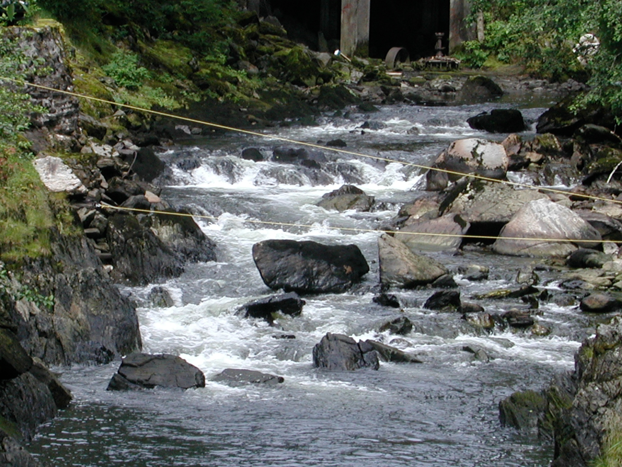
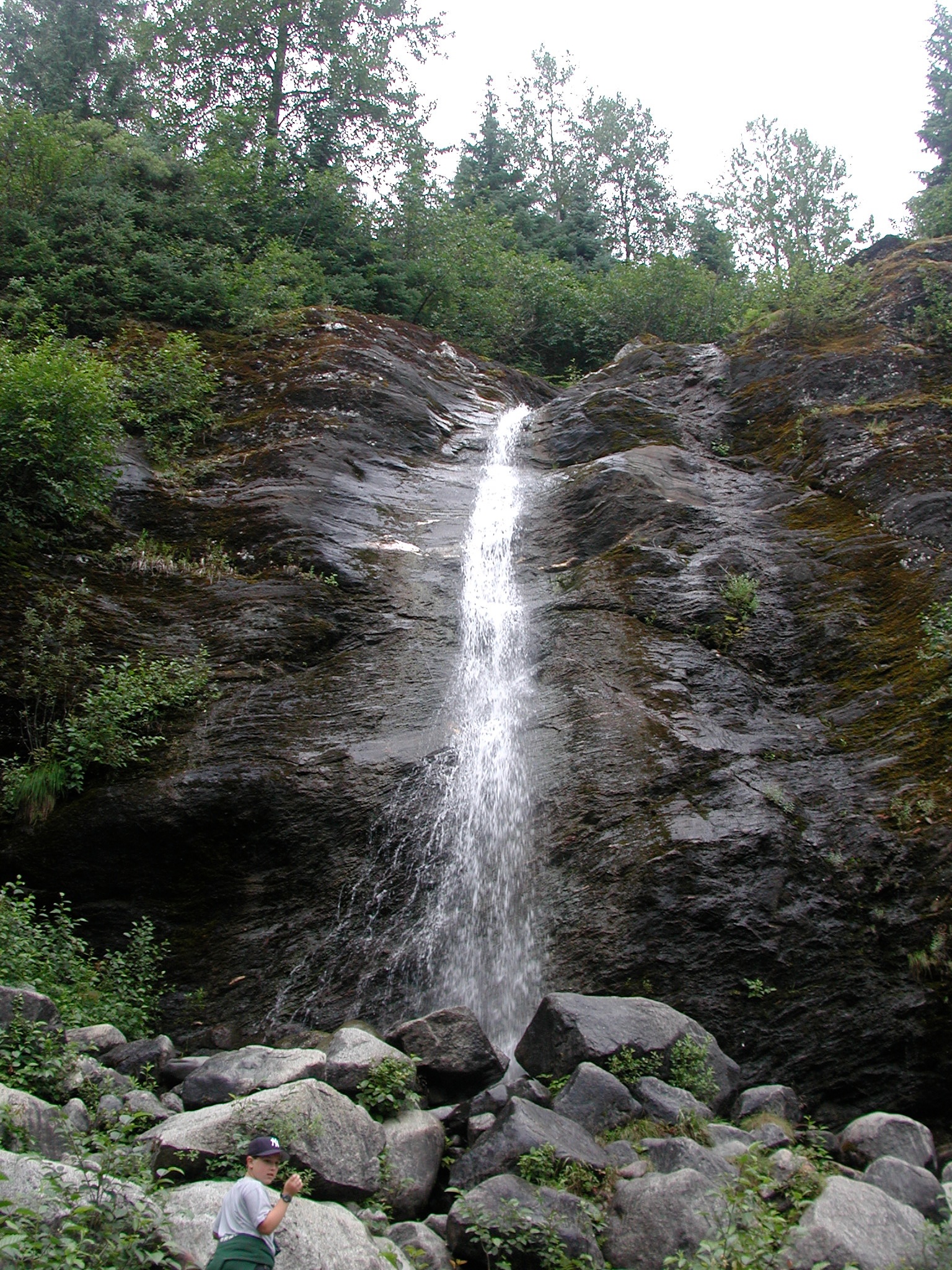
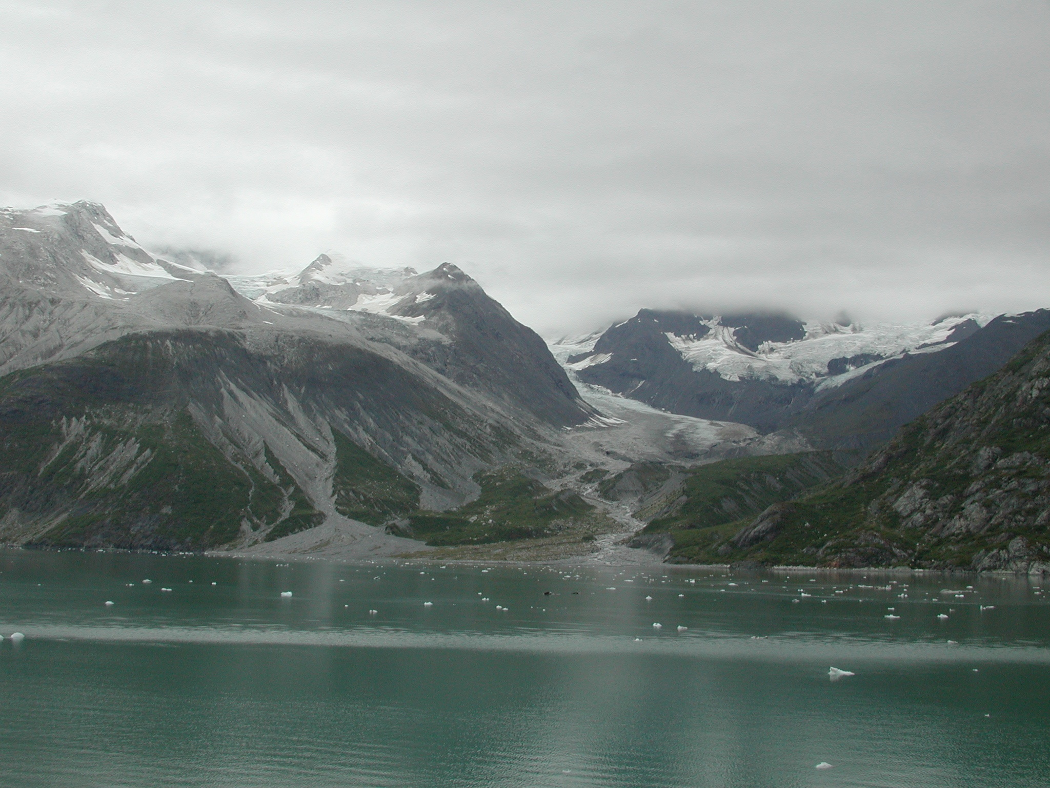
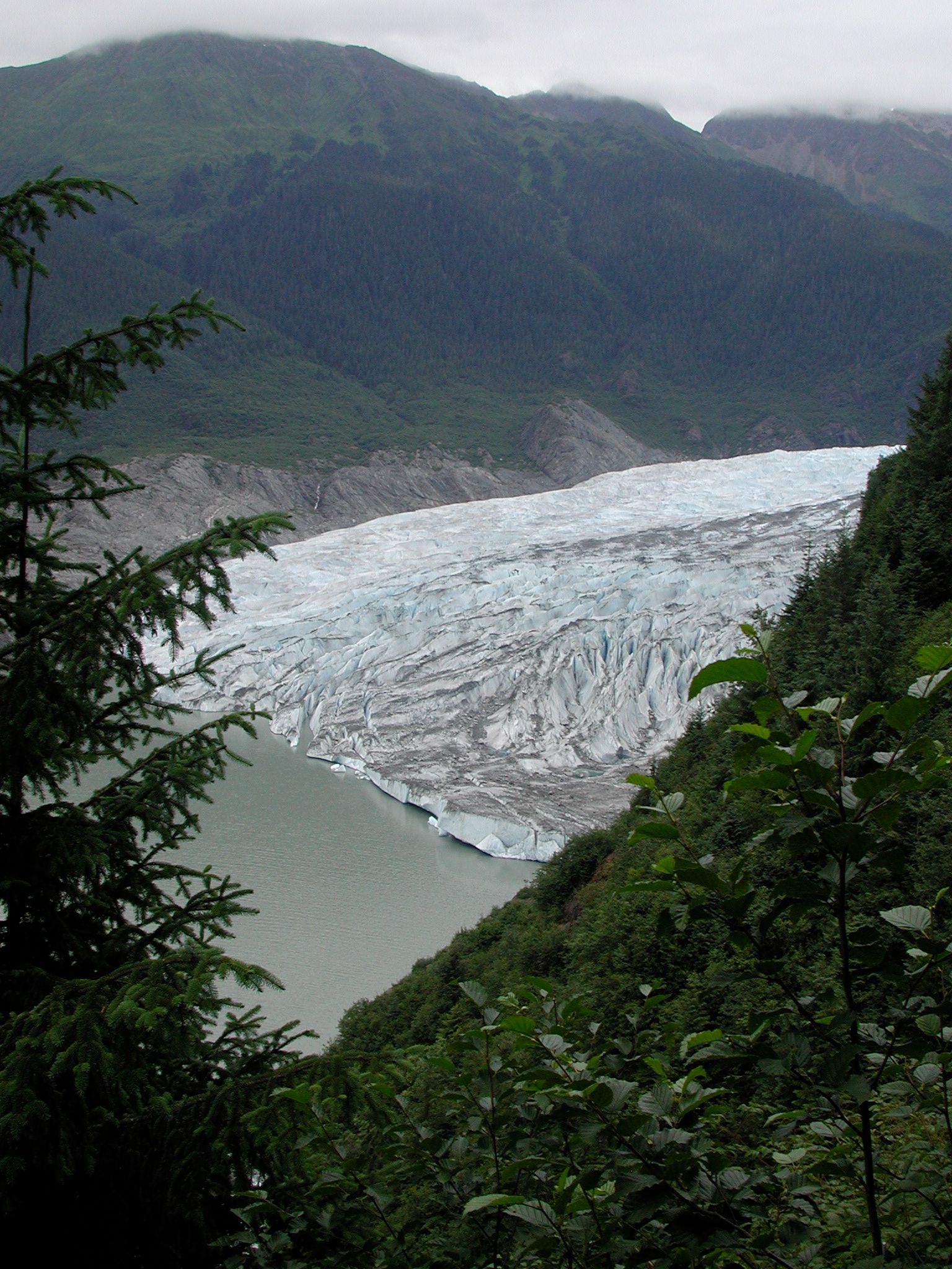
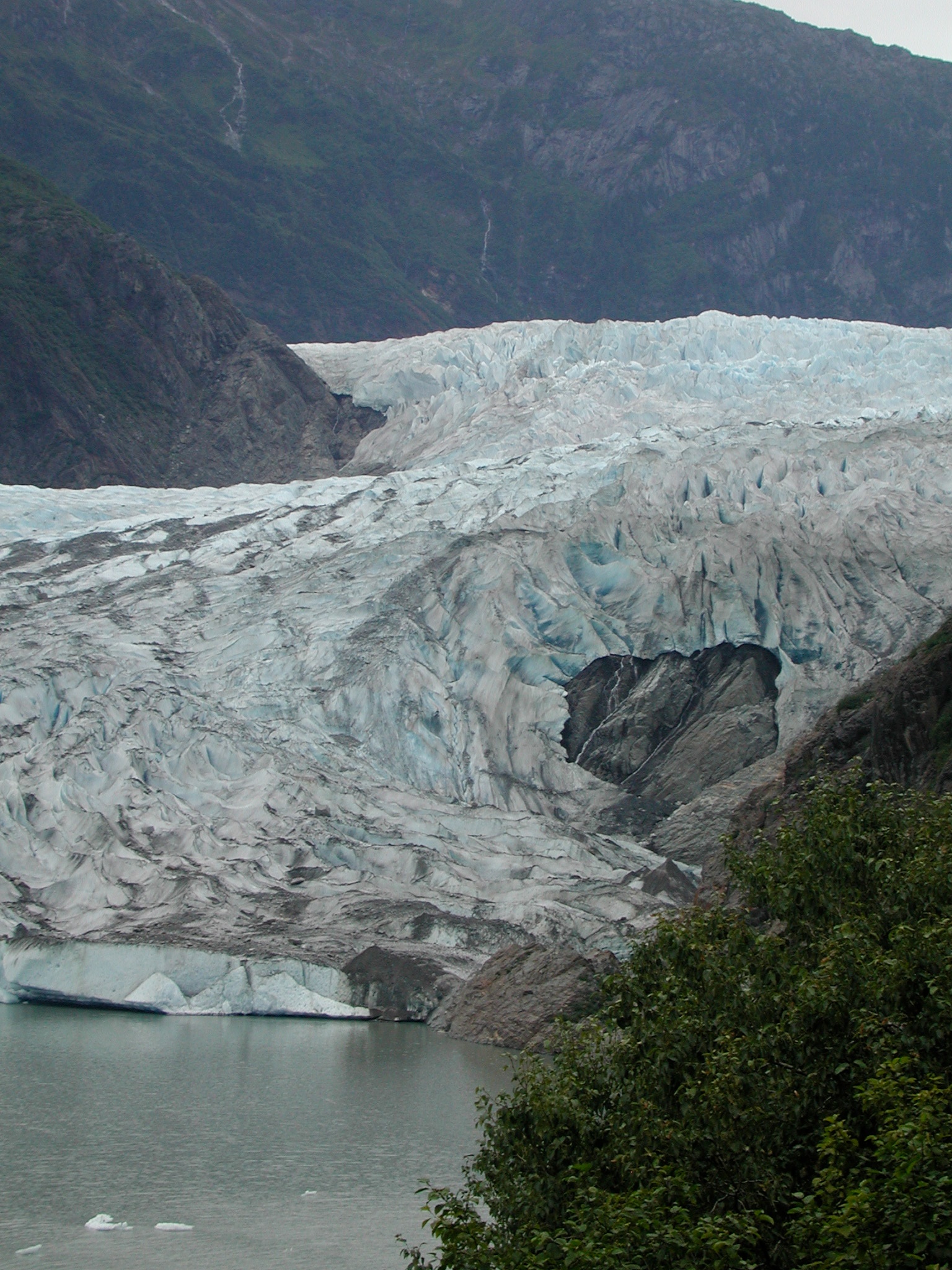
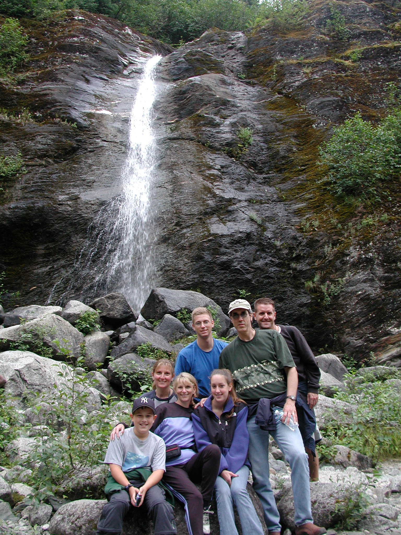
Related Photos:
Topographic Map of Melozitna River, Alaska, USA
Find elevation by address:

Places near Melozitna River, Alaska, USA:
Recent Searches:
- Elevation of Corso Fratelli Cairoli, 35, Macerata MC, Italy
- Elevation of Tallevast Rd, Sarasota, FL, USA
- Elevation of 4th St E, Sonoma, CA, USA
- Elevation of Black Hollow Rd, Pennsdale, PA, USA
- Elevation of Oakland Ave, Williamsport, PA, USA
- Elevation of Pedrógão Grande, Portugal
- Elevation of Klee Dr, Martinsburg, WV, USA
- Elevation of Via Roma, Pieranica CR, Italy
- Elevation of Tavkvetili Mountain, Georgia
- Elevation of Hartfords Bluff Cir, Mt Pleasant, SC, USA