Elevation of Mekaines, Qatar
Location: Qatar > Al Rayyan Municipality >
Longitude: 51.2282504
Latitude: 25.1211699
Elevation: 47m / 154feet
Barometric Pressure: 101KPa
Elevation Map:
Satellite Map:
Related Photos:

Desert Camels

Musfer Sinkhole- Qatar

Female Spanish Sparrow

Good morning :)

BelAir X 6-12 Musfer Sinkhole With Liam and Aaron
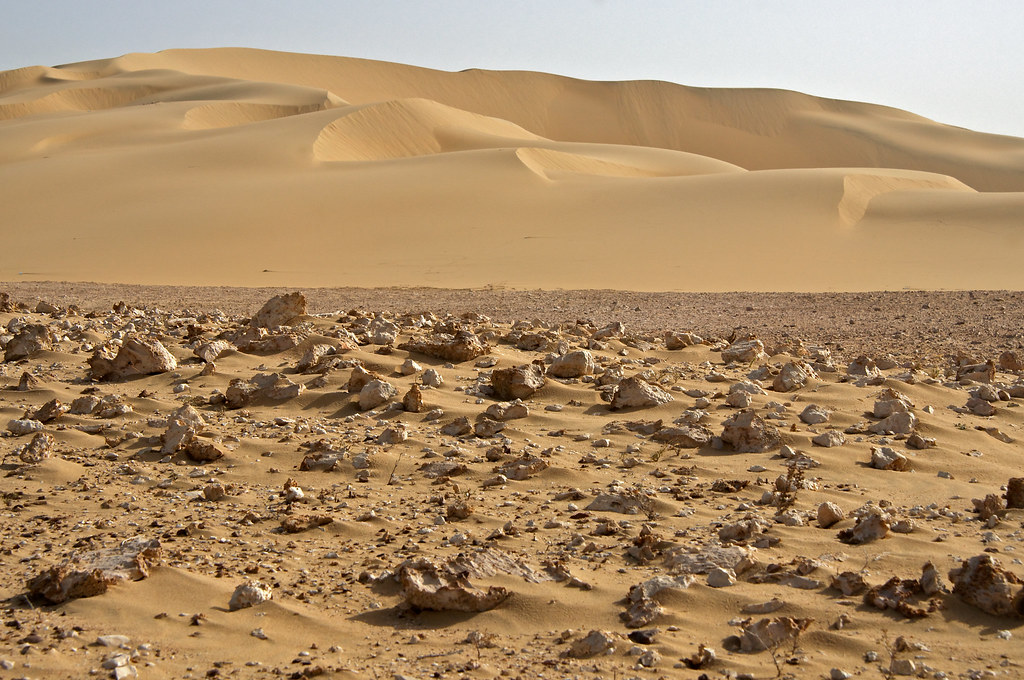
Dune 3
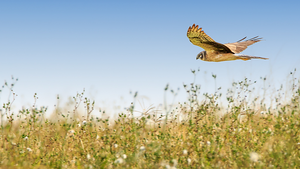
Pallid Harrier
In the desert, a few km from Doha

spiny-tailed lizard

IMG_0288 copy
Topographic Map of Mekaines, Qatar
Find elevation by address:

Places near Mekaines, Qatar:
Rawdat Rashid
New Industrial Area
Street 52
Al Rayyan Municipality
Ar-rayyan
Umm Al Seneem
Villaggio Mall
Baaya
O Block, Barwa City
Al Sadd
السلطه الجديده
Doha
Fereej Bin Omran
Rawdat Al Khail Street
Al Rawnaq (town Centre Branch)
Ministry Of Interior Qatar
Wadi Al Sail West
Rumailah Hospital
Al Mansoura
Wadi Al Sail
Recent Searches:
- Elevation of Corso Fratelli Cairoli, 35, Macerata MC, Italy
- Elevation of Tallevast Rd, Sarasota, FL, USA
- Elevation of 4th St E, Sonoma, CA, USA
- Elevation of Black Hollow Rd, Pennsdale, PA, USA
- Elevation of Oakland Ave, Williamsport, PA, USA
- Elevation of Pedrógão Grande, Portugal
- Elevation of Klee Dr, Martinsburg, WV, USA
- Elevation of Via Roma, Pieranica CR, Italy
- Elevation of Tavkvetili Mountain, Georgia
- Elevation of Hartfords Bluff Cir, Mt Pleasant, SC, USA