Elevation map of Mehedinți County, Romania
Location: Romania >
Longitude: 22.9044157
Latitude: 44.5515053
Elevation: 332m / 1089feet
Barometric Pressure: 97KPa
Elevation Map:
Satellite Map:
Related Photos:

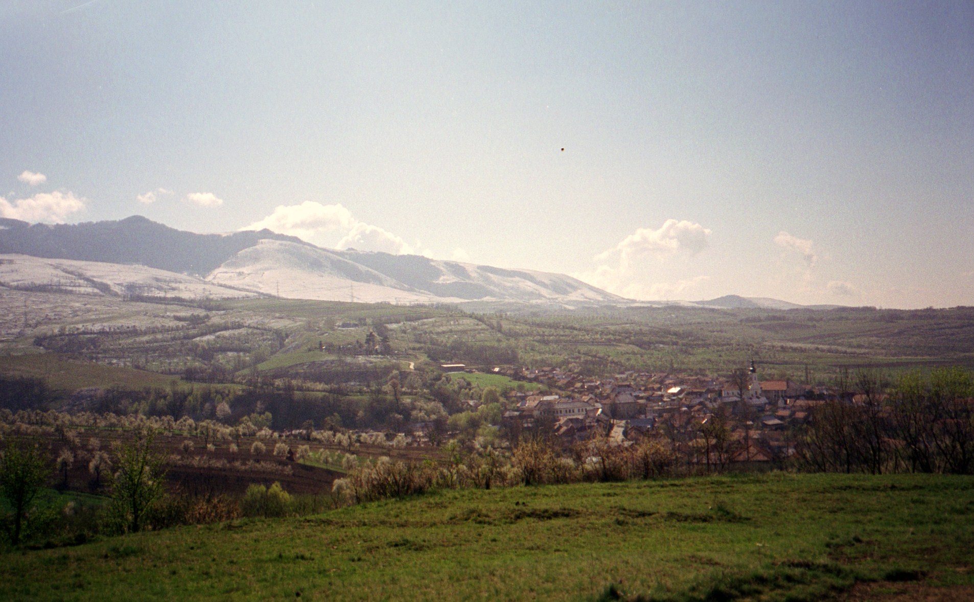
Sunset Romania

Photo 347

Photo 340
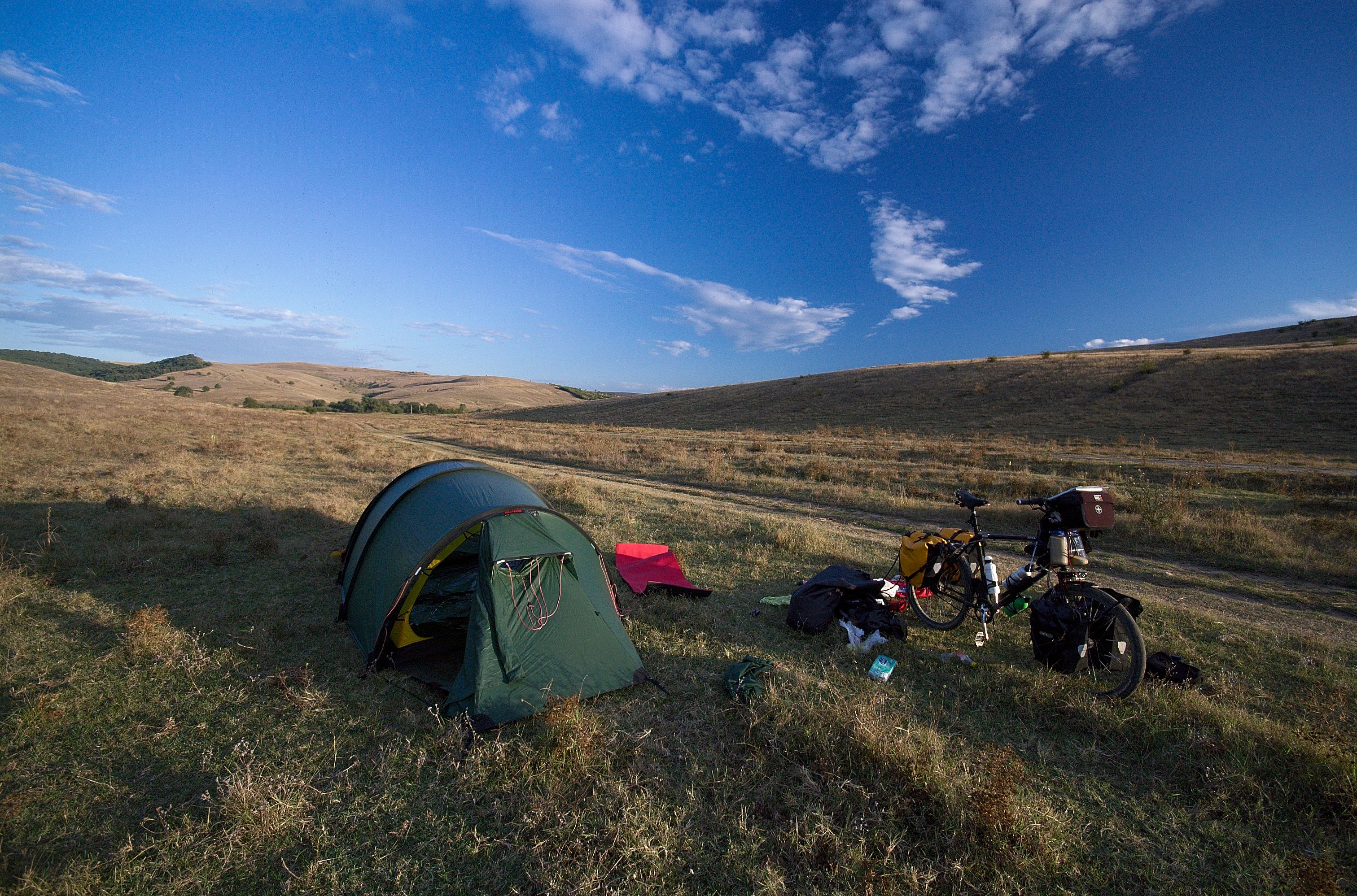
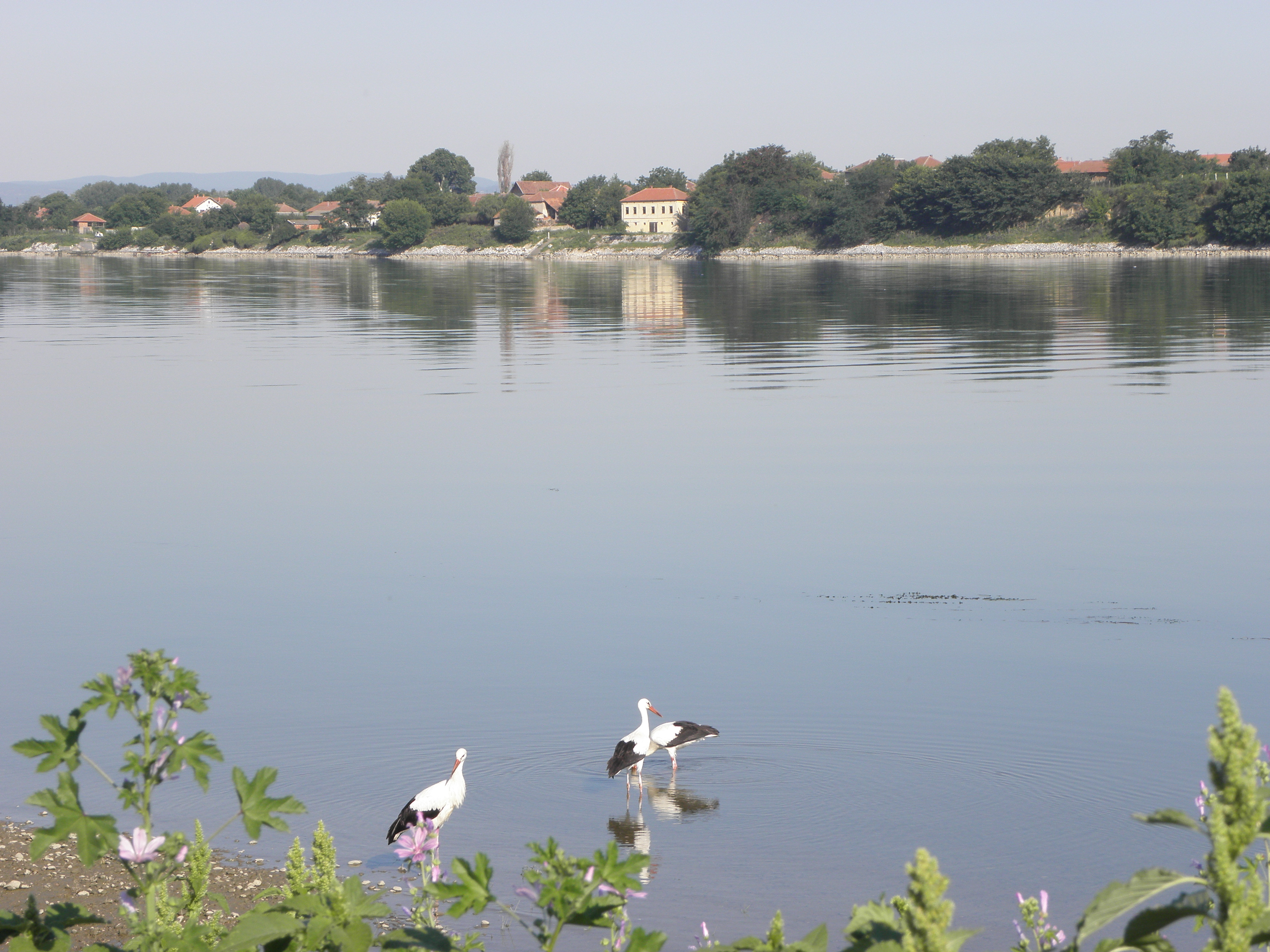
Les Carpates
The Magic Valley
The Magic Valley
The Magic Valley
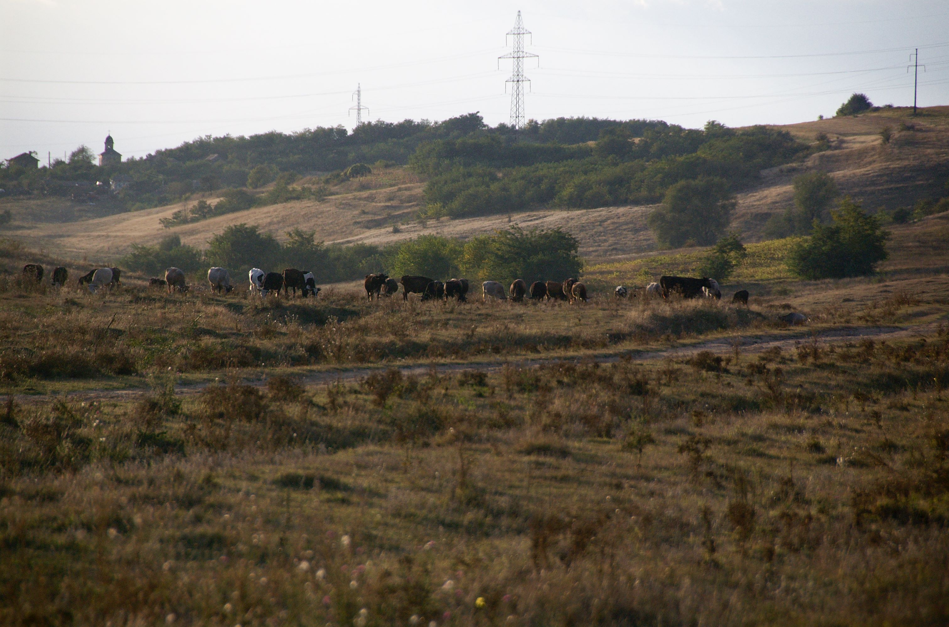
The Magic Valley
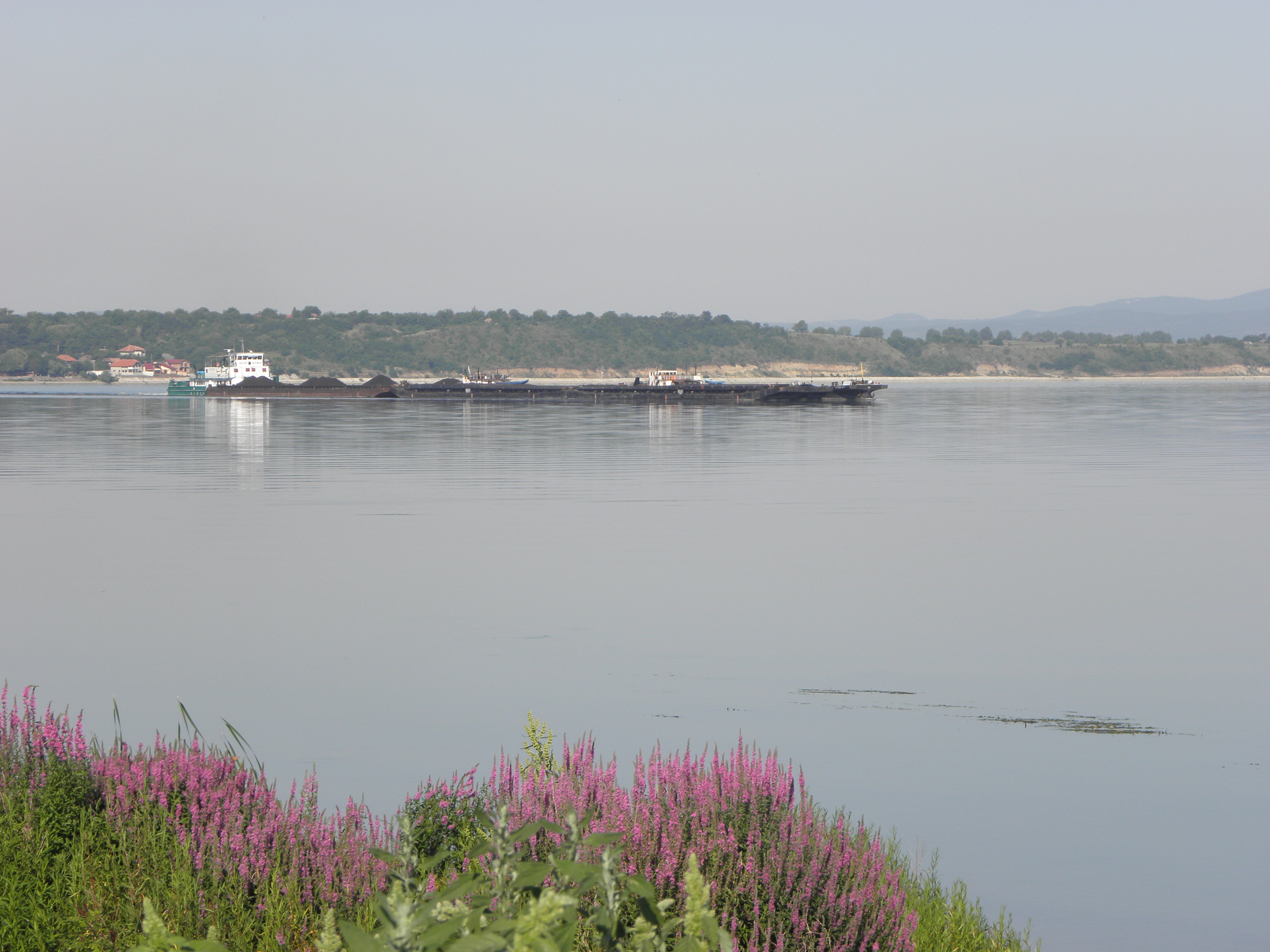
Ostrovu Corbului
The Magic Valley
Ostrovu Corbului

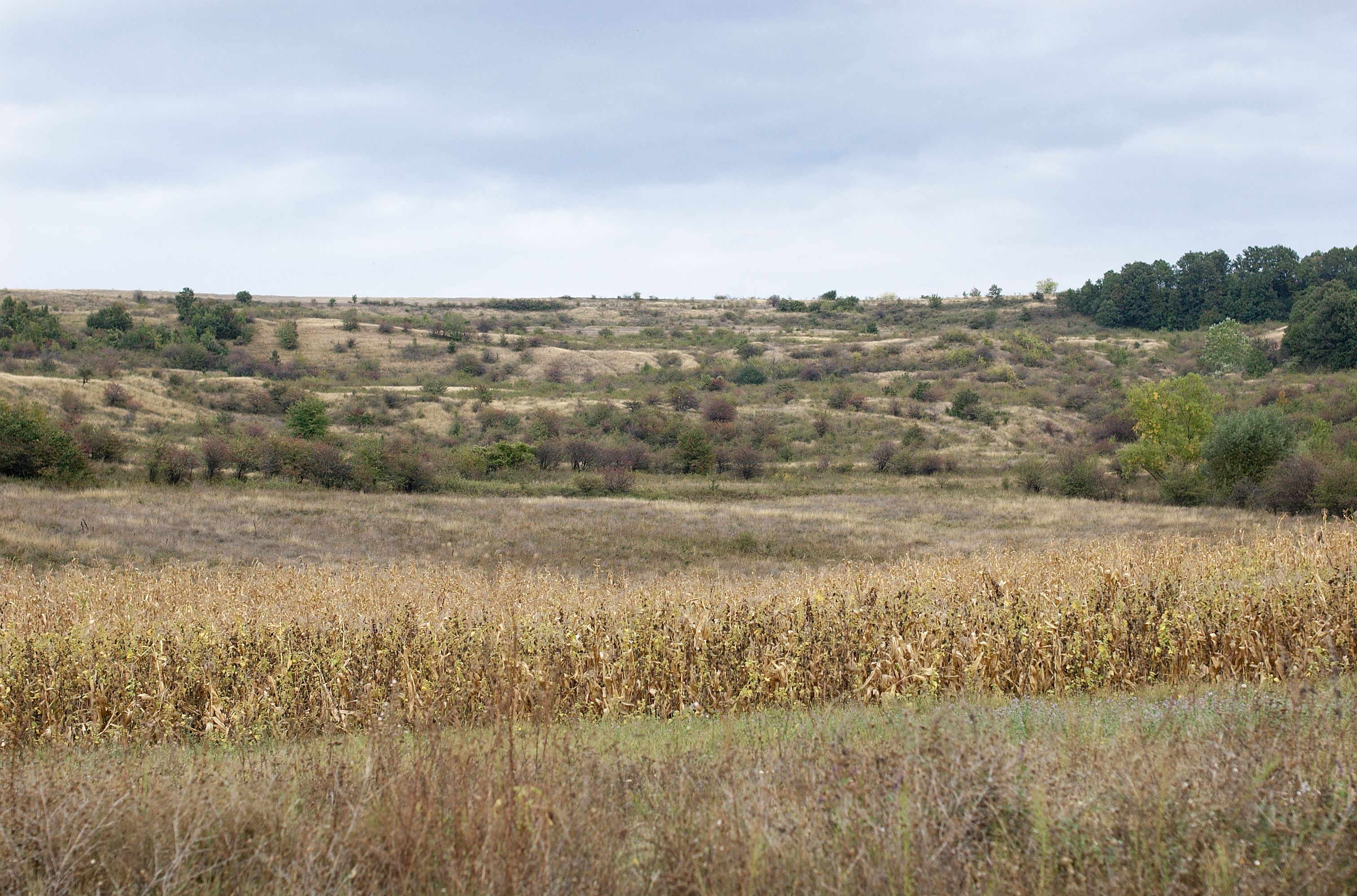
autumn road
Topographic Map of Mehedinți County, Romania
Find elevation by address:

Places in Mehedinți County, Romania:
Places near Mehedinți County, Romania:
Drobeta - Turnu Severin
Motru
Drobeta-turnu Severin
Motru
Vrancea
Gura Văii
Iron Gates I
Iron Gates
Baia De Aramă
Strada Victoriei 69, Baia de Aramă, Romania
Turceni
Bregovo
Strada Sfânta Paraschiva 47, Turceni, Romania
Turceni
Iliesti
Strada Sfântul Nicolae 5, Turceni, Romania
Gorj County
Vidin
Vidin
Vidin
Recent Searches:
- Elevation of Corso Fratelli Cairoli, 35, Macerata MC, Italy
- Elevation of Tallevast Rd, Sarasota, FL, USA
- Elevation of 4th St E, Sonoma, CA, USA
- Elevation of Black Hollow Rd, Pennsdale, PA, USA
- Elevation of Oakland Ave, Williamsport, PA, USA
- Elevation of Pedrógão Grande, Portugal
- Elevation of Klee Dr, Martinsburg, WV, USA
- Elevation of Via Roma, Pieranica CR, Italy
- Elevation of Tavkvetili Mountain, Georgia
- Elevation of Hartfords Bluff Cir, Mt Pleasant, SC, USA