Elevation of Meghri, Armenia
Location: Armenia > Syunik Province >
Longitude: 46.2467317
Latitude: 38.9016976
Elevation: -10000m / -32808feet
Barometric Pressure: 295KPa
Elevation Map:
Satellite Map:
Related Photos:
2016-08-21_03-51-17

IMG_4195 (Kopie)

Former station Meghri near Iran border, in right is iron curtain borderline (llocomotive of Soviet production TGM23(A/B/V)48) - MEGHRI - ARMENIA

Bluenity #295

IMG_4195 (Kopie)

Memorial To The Fallen - Agarak
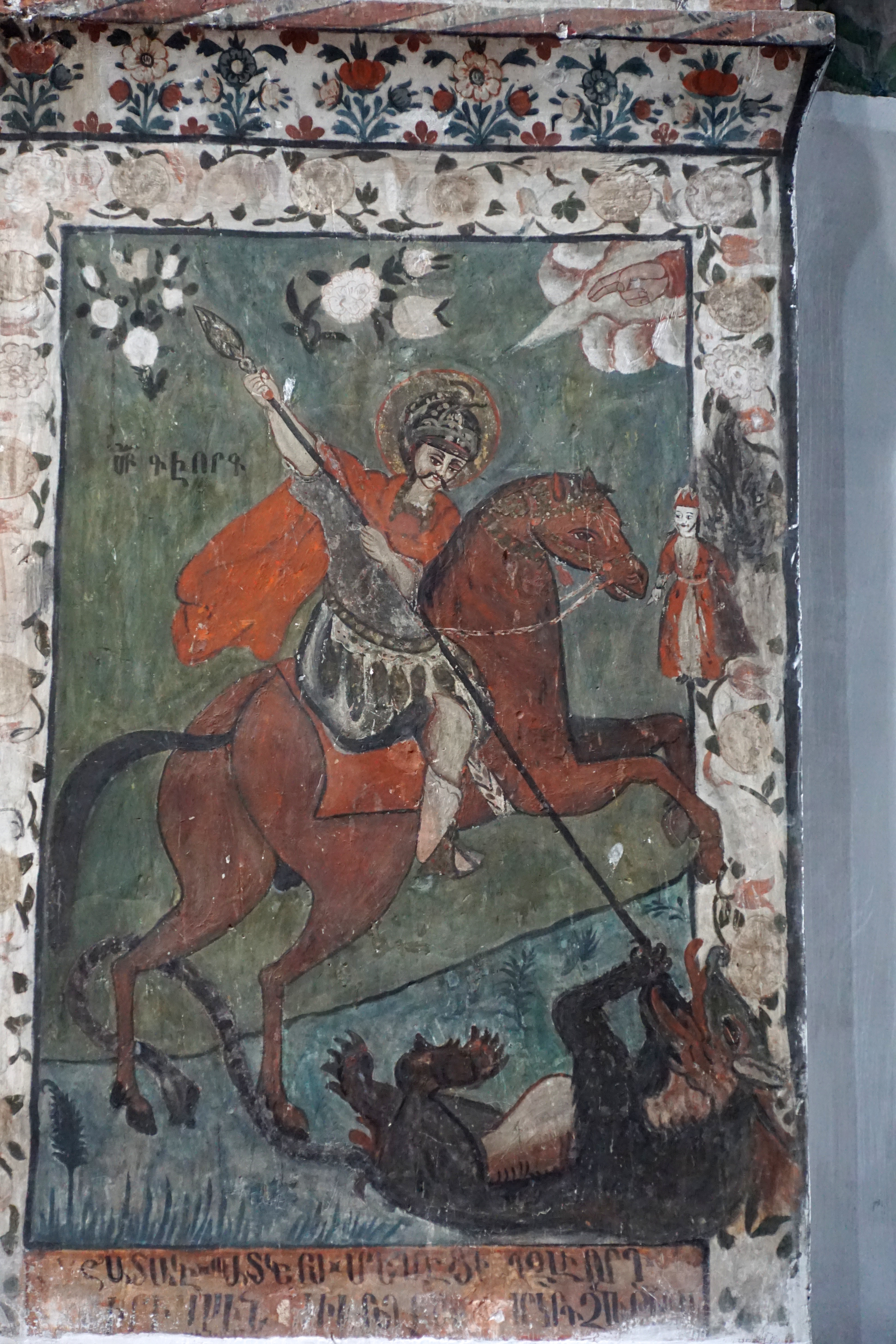
Saint George and the dragon

Another saint

The Resurrection
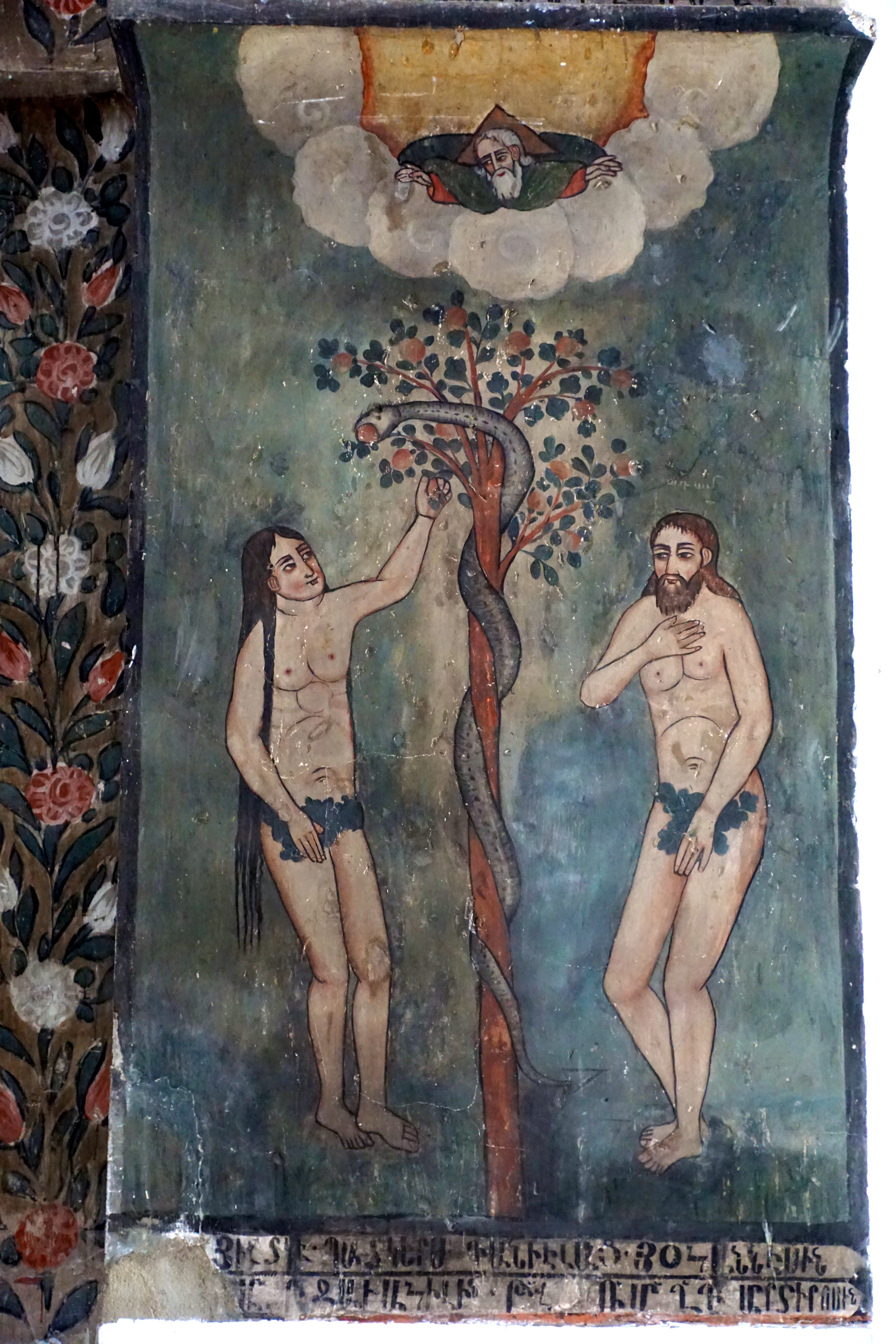
Eve and Adam and the serpent

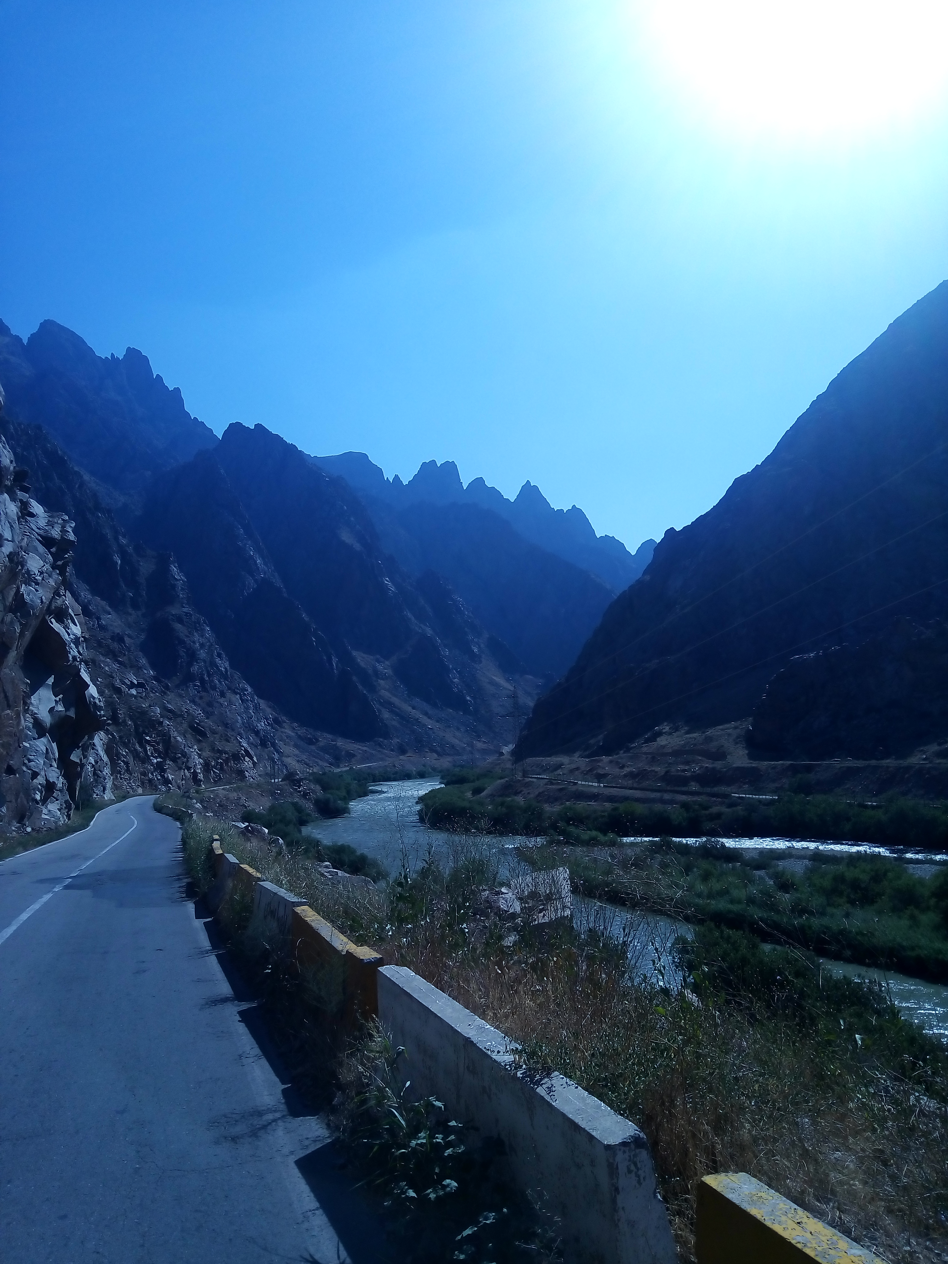
#كوهپيمايي يك روز خوب #بهاري # در #علي_بيگ_قلعه_سي ???? #hiking #hikingday #spring #spring2017 #nature #nature???? #green #blossom #blossoms #ali_beig_castle #castle #river #rock

Meghri / Մեղրի (Armenia)

Trappen Meghri
Topographic Map of Meghri, Armenia
Find elevation by address:

Places near Meghri, Armenia:
Agarak
Ashaghi Aylis
Varazeqān
Kajaran
Ordubad
Mount Kaputjugh
Qazangödağ
Nəsrivaz
Marand
Aji Chay Old Bridge
Tabriz
Tabriz
Kuchebagh
Tork Hydraulics (techno Sanat Laheghi)(iran Branch Office Tork Hydraulics)
Babak
Sarıdağ
Nakhchivan
Yarimja
Tumbul
Nakhchivan Autonomous Republic
Recent Searches:
- Elevation of Corso Fratelli Cairoli, 35, Macerata MC, Italy
- Elevation of Tallevast Rd, Sarasota, FL, USA
- Elevation of 4th St E, Sonoma, CA, USA
- Elevation of Black Hollow Rd, Pennsdale, PA, USA
- Elevation of Oakland Ave, Williamsport, PA, USA
- Elevation of Pedrógão Grande, Portugal
- Elevation of Klee Dr, Martinsburg, WV, USA
- Elevation of Via Roma, Pieranica CR, Italy
- Elevation of Tavkvetili Mountain, Georgia
- Elevation of Hartfords Bluff Cir, Mt Pleasant, SC, USA