Elevation of Meadowlane Dr, Lenoir, NC, USA
Location: United States > North Carolina > Caldwell County > Lenoir > Lenoir >
Longitude: -81.554767
Latitude: 35.9213689
Elevation: 343m / 1125feet
Barometric Pressure: 97KPa
Elevation Map:
Satellite Map:
Related Photos:

Moonset Over the Blue Ridge Mountains 48/52

Waterfall Road waterfall - Part 2
[Full View] Old Hat, Downtown Lenoir, Jonathan Cox Photoshoot

Hibriten Mountain

Hibriten Mountain

Smokey Creek Hunting Club

Front View, Caldwell County Courthouse

Fort Defiance

Smokey Creek Hunting Club

Cabin view

The view of the Blue Ridge Mountains just outside Blowing Rock NC.

Piedmont Powerlines

Smokey Creek Hunting Club

Aisle view of the cross

Gazabo view

The View

Valley view
Bridge view pano

View from the road

Bridge view

Green view

Gentle Flows

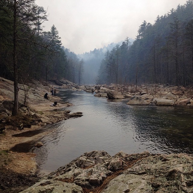
John's River downstream.JPG

Tim fishing.JPG

Uneasy Roads

Rainy Day Wilson Creek

Silvervale Falls

Hibriten Mountain
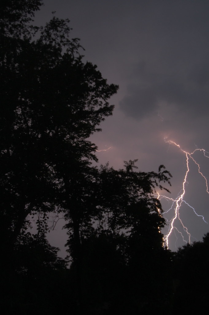
Finally... Some Fireworks...

God's Masterpiece

Crystal Falls

Spinning Around, Upside Down

River bank green.JPG

Wilson Creek, NC
Boat fun
Sunday fun day!! Went hiking along Wilson Creek today

More Fireworks

IMAG0057-2

tgiving-20081128-h1606a
From a distance
Topographic Map of Meadowlane Dr, Lenoir, NC, USA
Find elevation by address:

Places near Meadowlane Dr, Lenoir, NC, USA:
937 Meadowlane Dr
617 Wentworth Pl Nw
Caldwell County
321 Beall St Nw
308 Beall St Nw
Lenoir, North Carolina
Lenoir
Dr. Robert J. Reichling, Md
417 Sharon Ave Nw
607 Hospital Ave Nw
Walmart Supercenter
Echo Drive
1811 Creekside Pl
Armstrong Ct SW, Lenoir, NC, USA
328 Fairlane Dr Ne
341 Eastover Cir Ne
Candlelight Farm Ln, Lenoir, NC, USA
Zack's Fork Mountain Bike Trail
313 Summit Pl Sw
722 Connelly Springs Rd
Recent Searches:
- Elevation of Corso Fratelli Cairoli, 35, Macerata MC, Italy
- Elevation of Tallevast Rd, Sarasota, FL, USA
- Elevation of 4th St E, Sonoma, CA, USA
- Elevation of Black Hollow Rd, Pennsdale, PA, USA
- Elevation of Oakland Ave, Williamsport, PA, USA
- Elevation of Pedrógão Grande, Portugal
- Elevation of Klee Dr, Martinsburg, WV, USA
- Elevation of Via Roma, Pieranica CR, Italy
- Elevation of Tavkvetili Mountain, Georgia
- Elevation of Hartfords Bluff Cir, Mt Pleasant, SC, USA