Elevation of Meadow Fork Rd, Hot Springs, NC, USA
Location: United States > North Carolina > Madison County > 6, Hot Springs > Hot Springs >
Longitude: -82.909626
Latitude: 35.8018141
Elevation: 798m / 2618feet
Barometric Pressure: 92KPa
Elevation Map:
Satellite Map:
Related Photos:

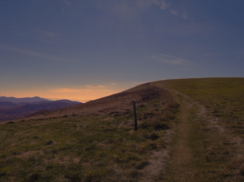
The Appalachian Trail

Very hazy view of Tenn from Max Patch

Celebrating the 4th of July

Max Patch, Ecclesiastes 3:11

Rainbows over Max Patch

max patch

View of Tennessee from Max Patch Bald

View From Max Patch

The Smokey Mountains

Max Patch

Max Patch, Romans 1:20

View from Max Patch

View from Max Patch

Fall on Max Patch

max patch mayapple fields
MAX PATCH BALD

NC 209 Scenic View

Hiking up Max Patch

Max Patch

View from Snowbird Mtn - W4T/SU-035
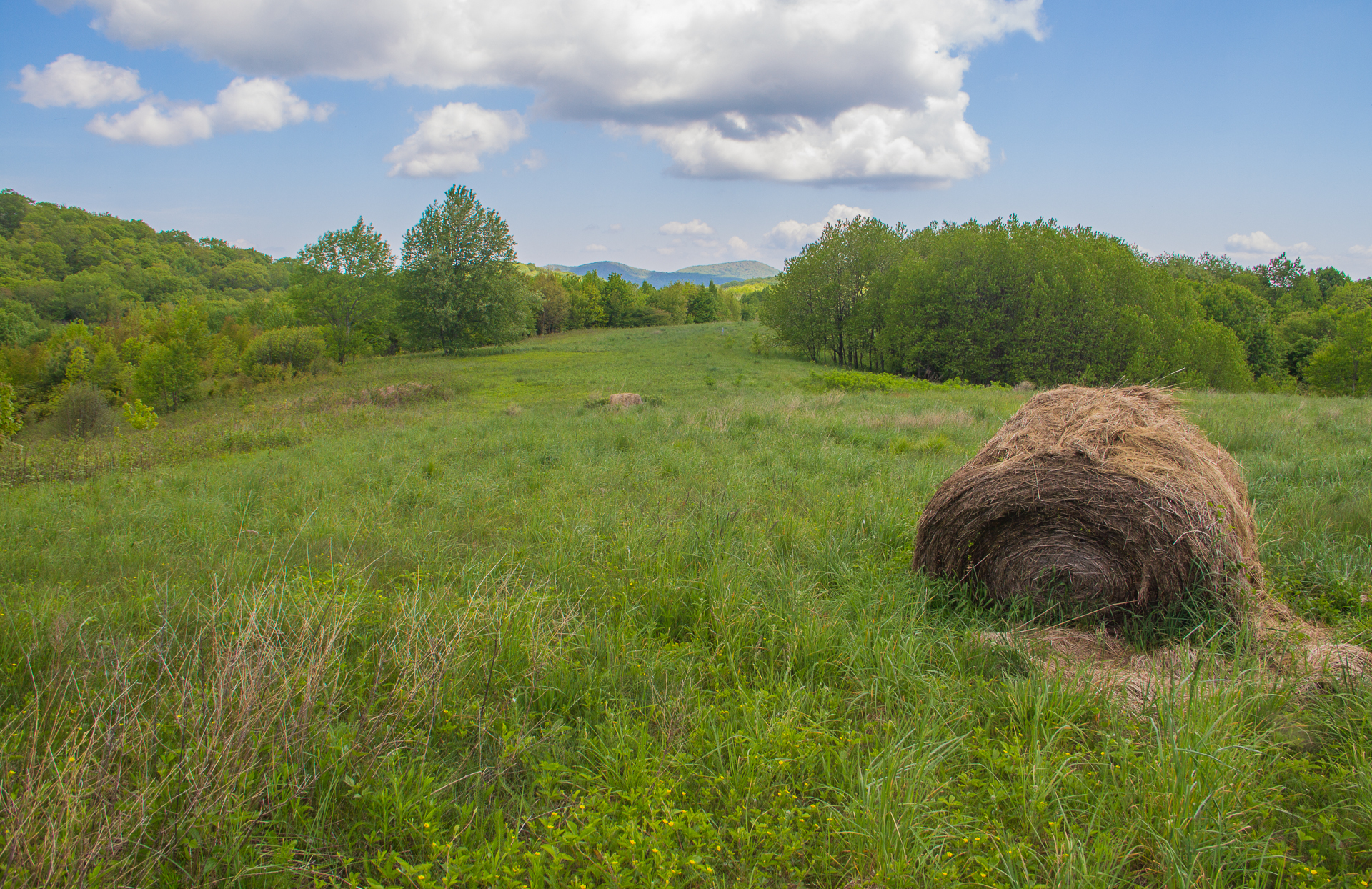
Buckeye Ridge, Max Patch, North Carolina

123 along the French Broad

Harmon Den Creek in North Carolina.

tone gold

the emerald city

The Hike

Long walk up

Pisgah National Forest

Winter Stroll

On Max Patch Bald on the TN/NC state line.
Max Patch Bald

Almost Dusk

Max Patch, Pisgah Nat'l Forest, Proverbs 10:25

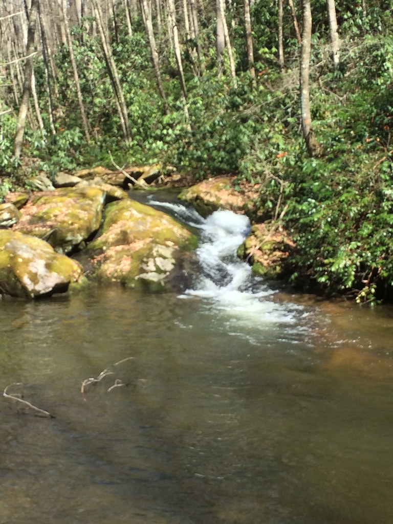
Smoky Mountains Streams

Private Property on Summit of W4T/SU-075 - 3070

down in the valley
Topographic Map of Meadow Fork Rd, Hot Springs, NC, USA
Find elevation by address:

Places near Meadow Fork Rd, Hot Springs, NC, USA:
3930 Meadow Fork Rd
368 Poplar Gap Rd
314 Little Creek Rd
46 Meadow Fork School Rd
257 Poplar Gap Rd
Meadow Fork Road
1011 Panther Branch Rd
Staghorn Drive
5990 Meadow Fork Rd
Roaring Fork Road
1521 Roaring Fork Rd
1521 Roaring Fork Rd
Fisher Branch
1863 Roaring Fork Rd
1 N Springs St Twin
Running Bear Road
345 Soaring Mountain Rd
Hot Springs, NC, USA
250 White Oak Way
Deerfield Drive
Recent Searches:
- Elevation of Corso Fratelli Cairoli, 35, Macerata MC, Italy
- Elevation of Tallevast Rd, Sarasota, FL, USA
- Elevation of 4th St E, Sonoma, CA, USA
- Elevation of Black Hollow Rd, Pennsdale, PA, USA
- Elevation of Oakland Ave, Williamsport, PA, USA
- Elevation of Pedrógão Grande, Portugal
- Elevation of Klee Dr, Martinsburg, WV, USA
- Elevation of Via Roma, Pieranica CR, Italy
- Elevation of Tavkvetili Mountain, Georgia
- Elevation of Hartfords Bluff Cir, Mt Pleasant, SC, USA