Elevation of Meadow Dr, Springville, UT, USA
Location: United States > Utah > Utah County > Springville >
Longitude: -111.47485
Latitude: 40.2257141
Elevation: 1724m / 5656feet
Barometric Pressure: 82KPa
Elevation Map:
Satellite Map:
Related Photos:

Reflections in Utah Lake on a cloudy day.

Rock canyon

Slate Canyon

Peace In Morning's Light ~ Peace Series

\\//\\\\\\\///\\\/\\///\\\/////\/\/\/

The Front Runner at Provo Central Station

A Parking Lot View of Mountains in Provo
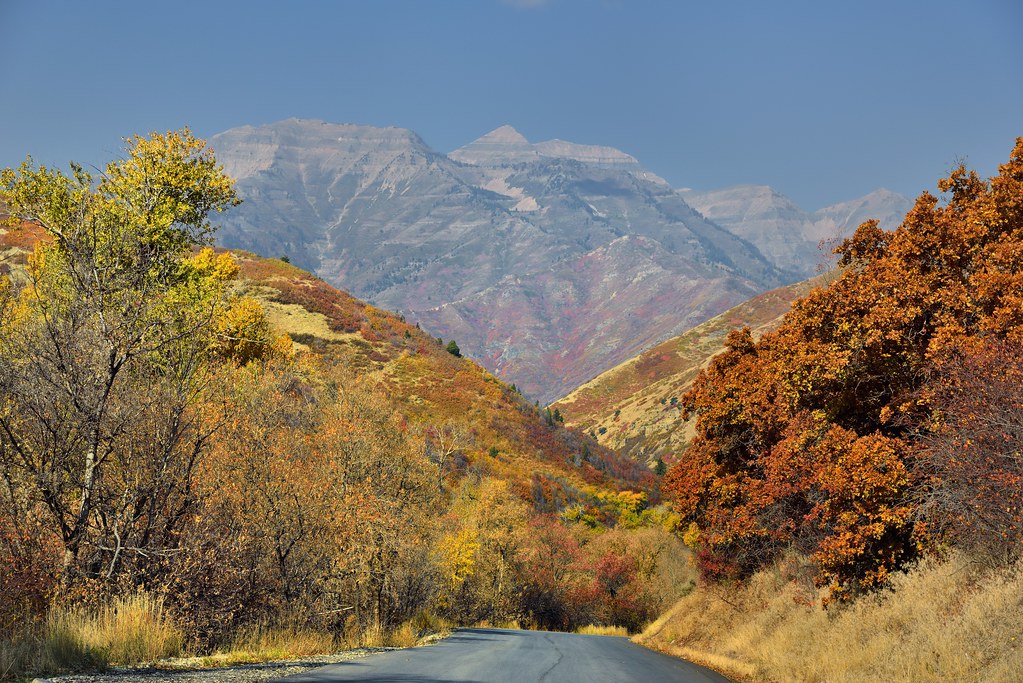
A Road Ahead to the Mountains

Three Points At Peace

The Long Boarder

Southern Utah County Rain - HDR
set out to change the world...

Mount Timpanogos - 03/17/07

Y Mountain, Provo, Utah

The Little Red Shed

Mount Timpanogos - 03/09/07

Mount Timpanogos - 02/26/07

Mount Timpanogos - 02/12/07

Cascade Mountain
Mount Timpanogos - 02/21/07

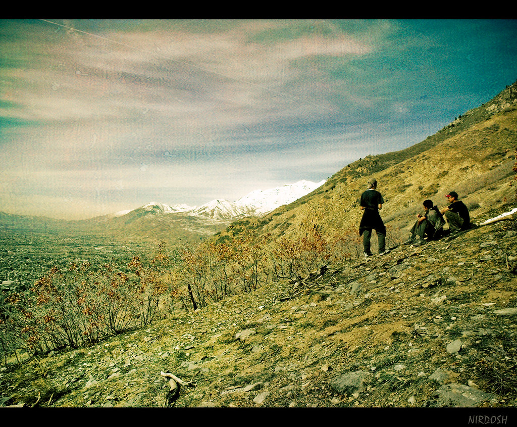
The World Below

Never Roll If You Want To Rock
Springtime Mountain Panorama

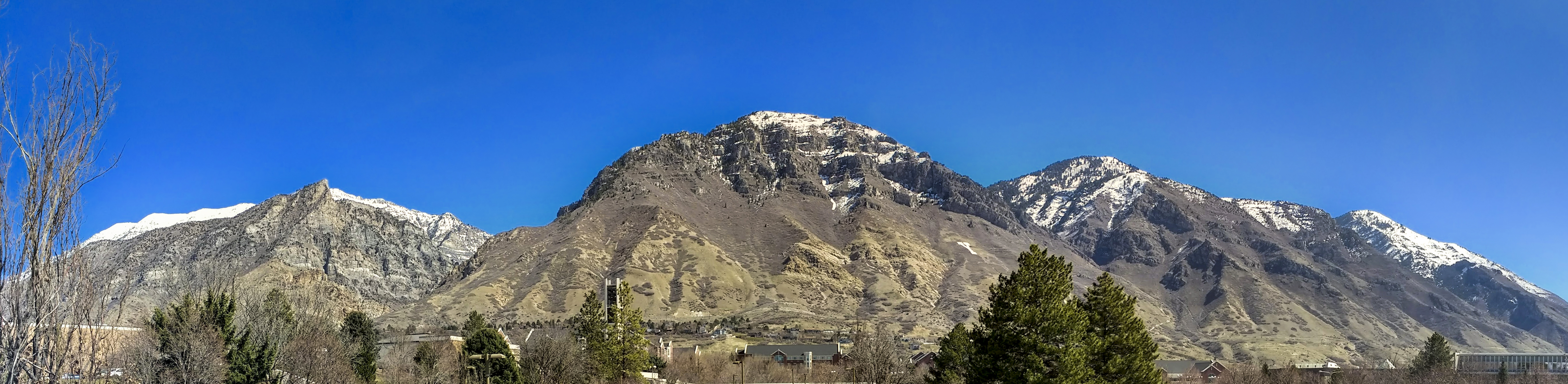
Utah County Panorama

Down Rock Canyon

Big Springs Hollow

Mt Timpanogos, Wasatch Range, Utah. 11,752 ft (3,582 m)

Peaks on Peaks

Cows Grazing up South Fork

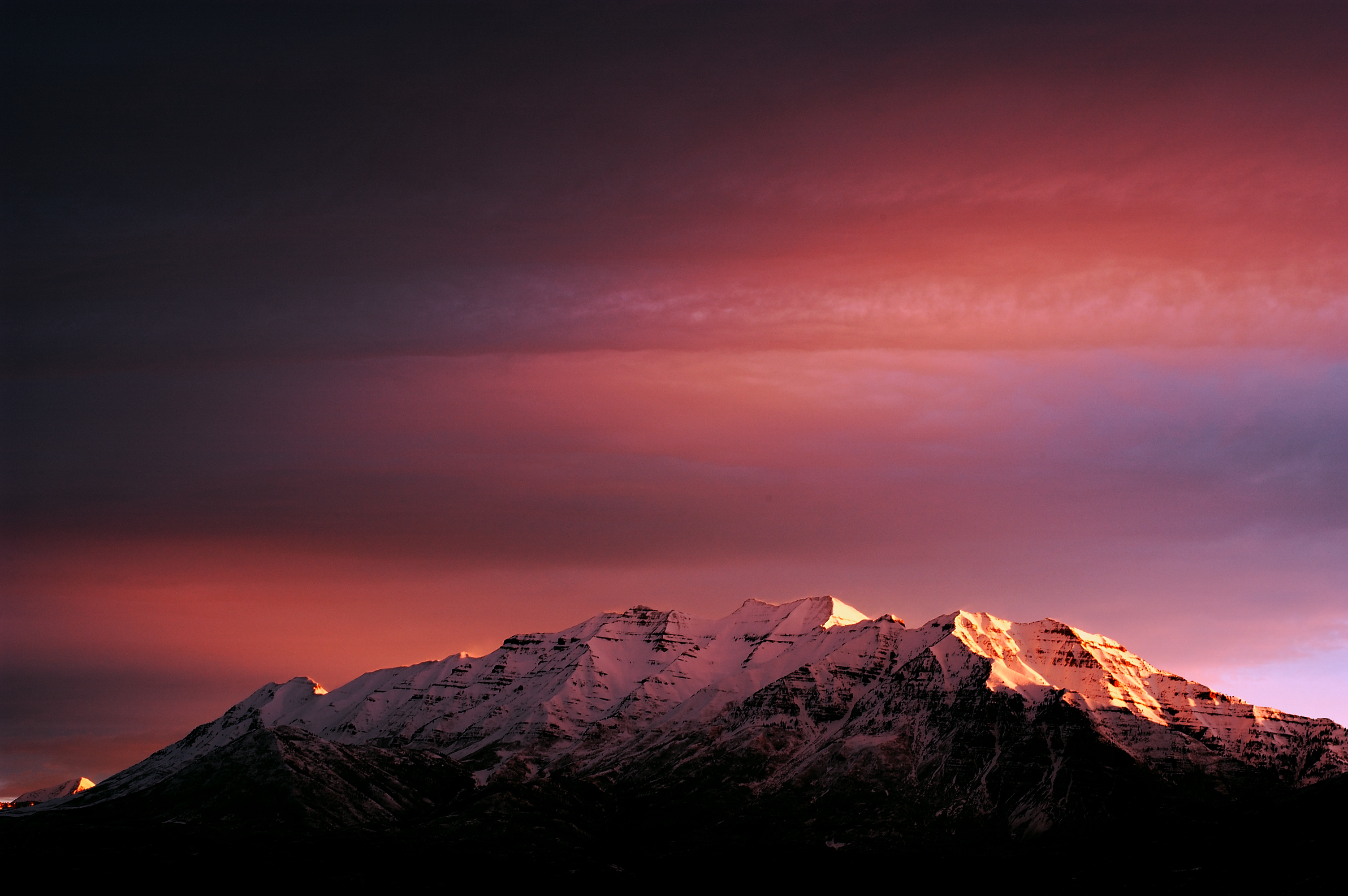
The Big Dipper Above Timpanogos

Springville, Utah, July 27, 2016.

Rock Canyon

Slate Canyon
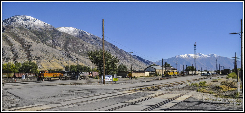
Provo Yard

Rock Canyon
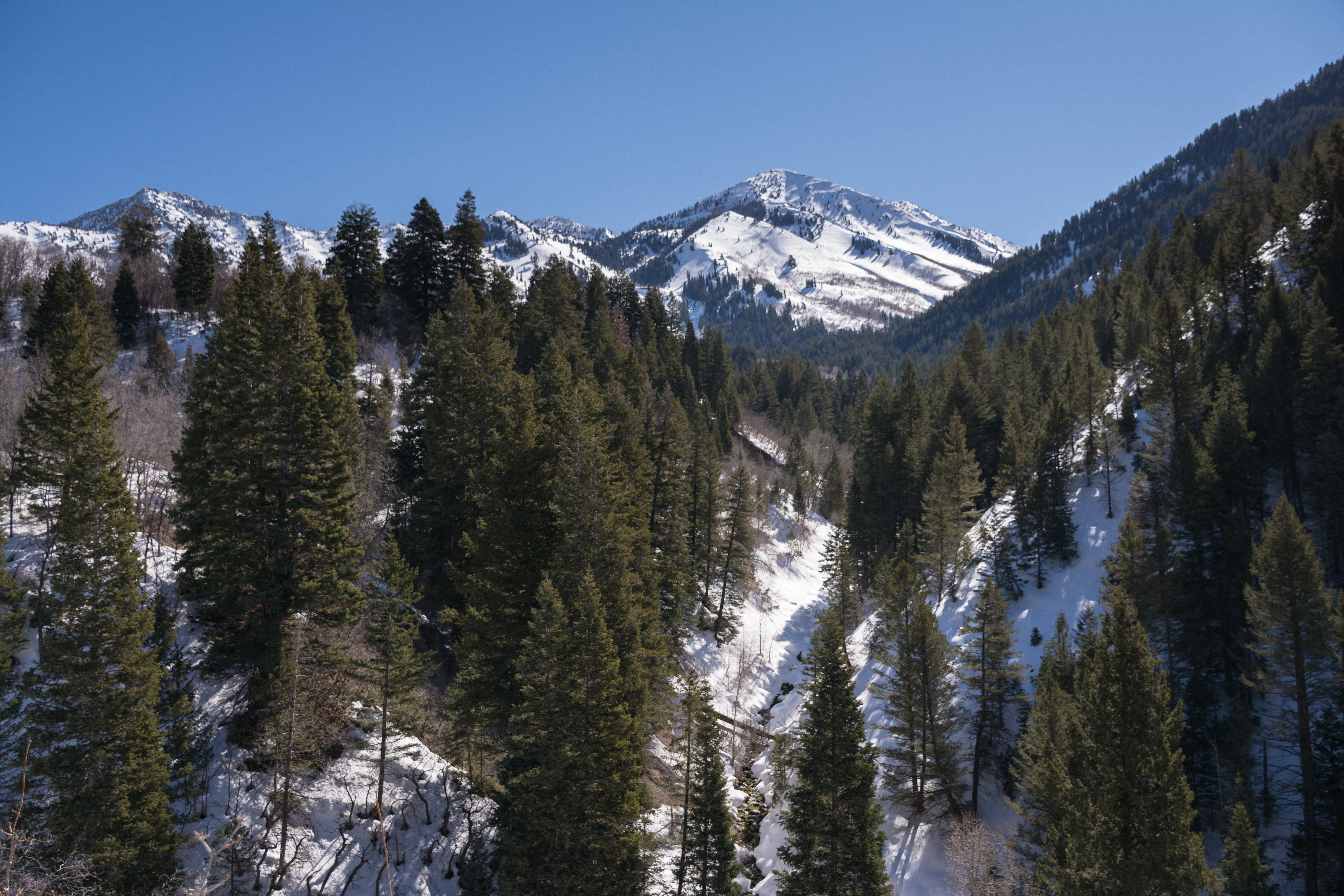
Stream flowing below snowy Provo Peak

Rock Canyon 3

Down Slate Canyon
Topographic Map of Meadow Dr, Springville, UT, USA
Find elevation by address:

Places near Meadow Dr, Springville, UT, USA:
266 Meadow Dr
Meadow Drive
The Cottages At Hobble Creek
Left Fork Hobble Creek Canyon
641 Hobble Creek Canyon Rd
693 Hobble Creek Canyon
887 Hobble Creek Cyn
121 Oakwood Dr
887 Hobble Creek Canyon Rd
887 Hobble Creek Canyon Rd
700 Hobble Creek Canyon
Whittemore Drive
172 Hobble Creek Canyon
2518 River Bottom Rd
121 Oakwood Cir
931 S 1100 E
Mapleton
267 N 200 E St
2195 Dakota Ave
Springville
Recent Searches:
- Elevation of Corso Fratelli Cairoli, 35, Macerata MC, Italy
- Elevation of Tallevast Rd, Sarasota, FL, USA
- Elevation of 4th St E, Sonoma, CA, USA
- Elevation of Black Hollow Rd, Pennsdale, PA, USA
- Elevation of Oakland Ave, Williamsport, PA, USA
- Elevation of Pedrógão Grande, Portugal
- Elevation of Klee Dr, Martinsburg, WV, USA
- Elevation of Via Roma, Pieranica CR, Italy
- Elevation of Tavkvetili Mountain, Georgia
- Elevation of Hartfords Bluff Cir, Mt Pleasant, SC, USA