Elevation of Meadow Creek Trailhead (recgovnpsdata), Montana, United States
Location: United States > Montana > Flathead County >
Longitude: -113.41898
Latitude: 47.8324015
Elevation: 1211m / 3973feet
Barometric Pressure: 88KPa
Elevation Map:
Satellite Map:
Related Photos:
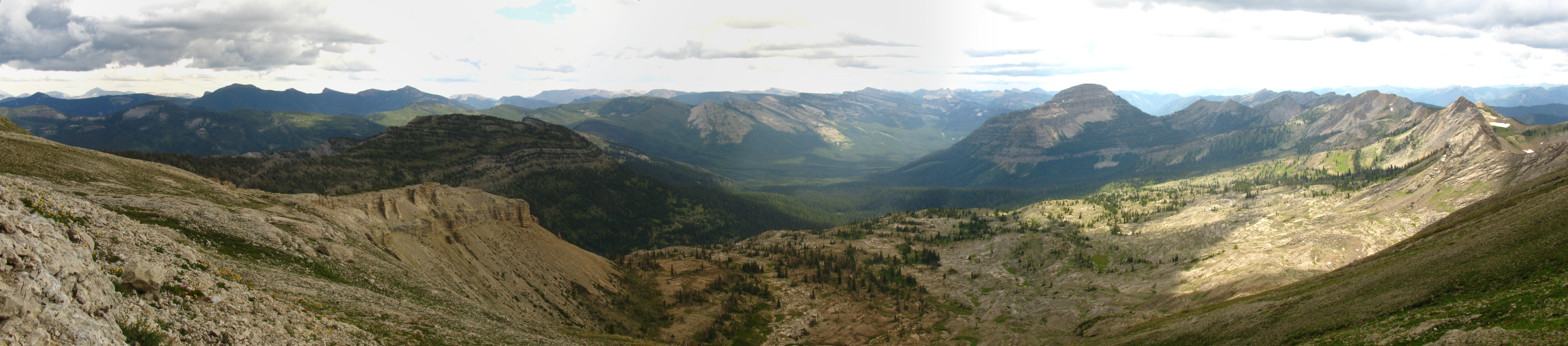
Silvertip south cirque panorama
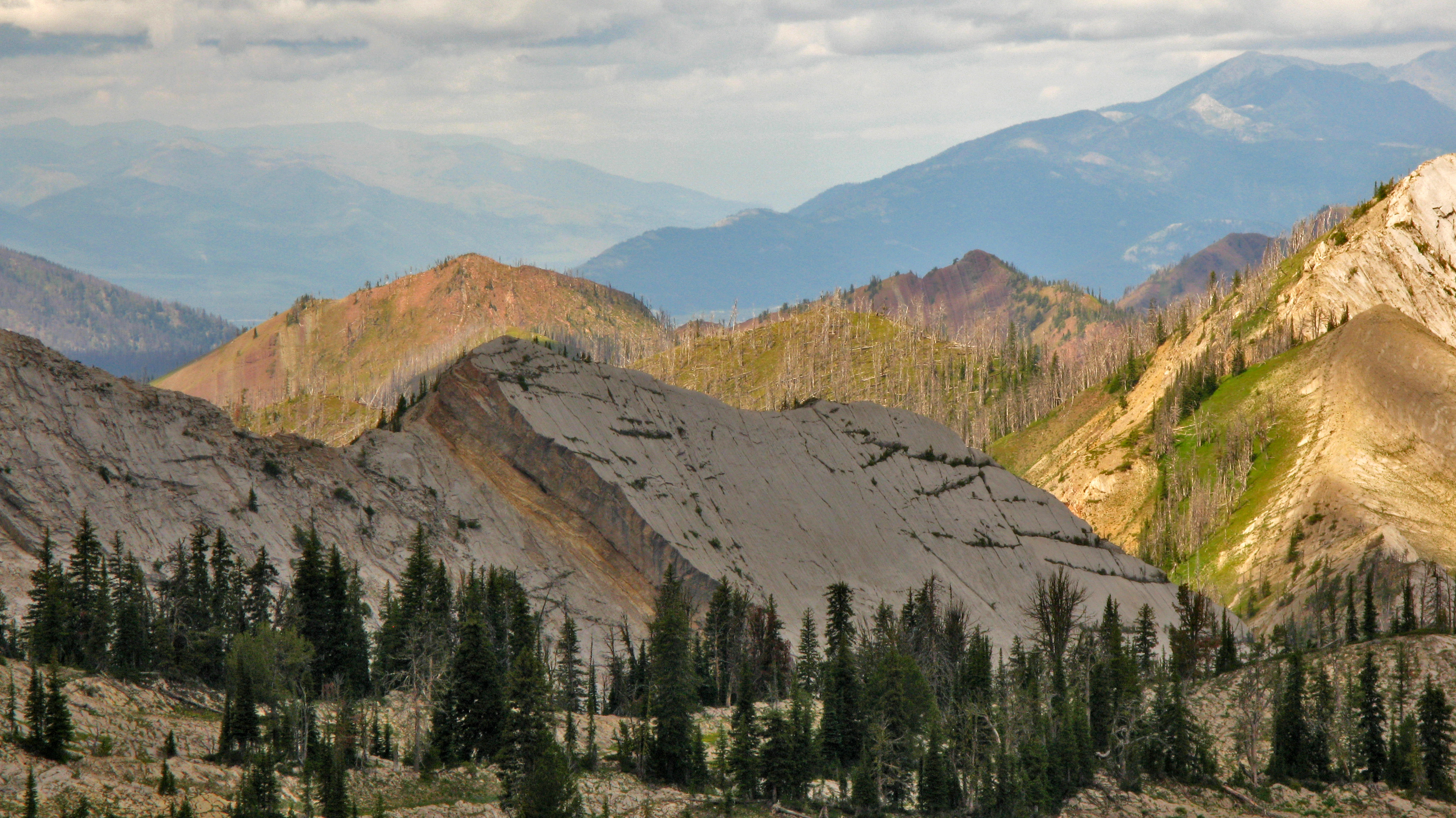
In the shadow of Silvertip Mtn
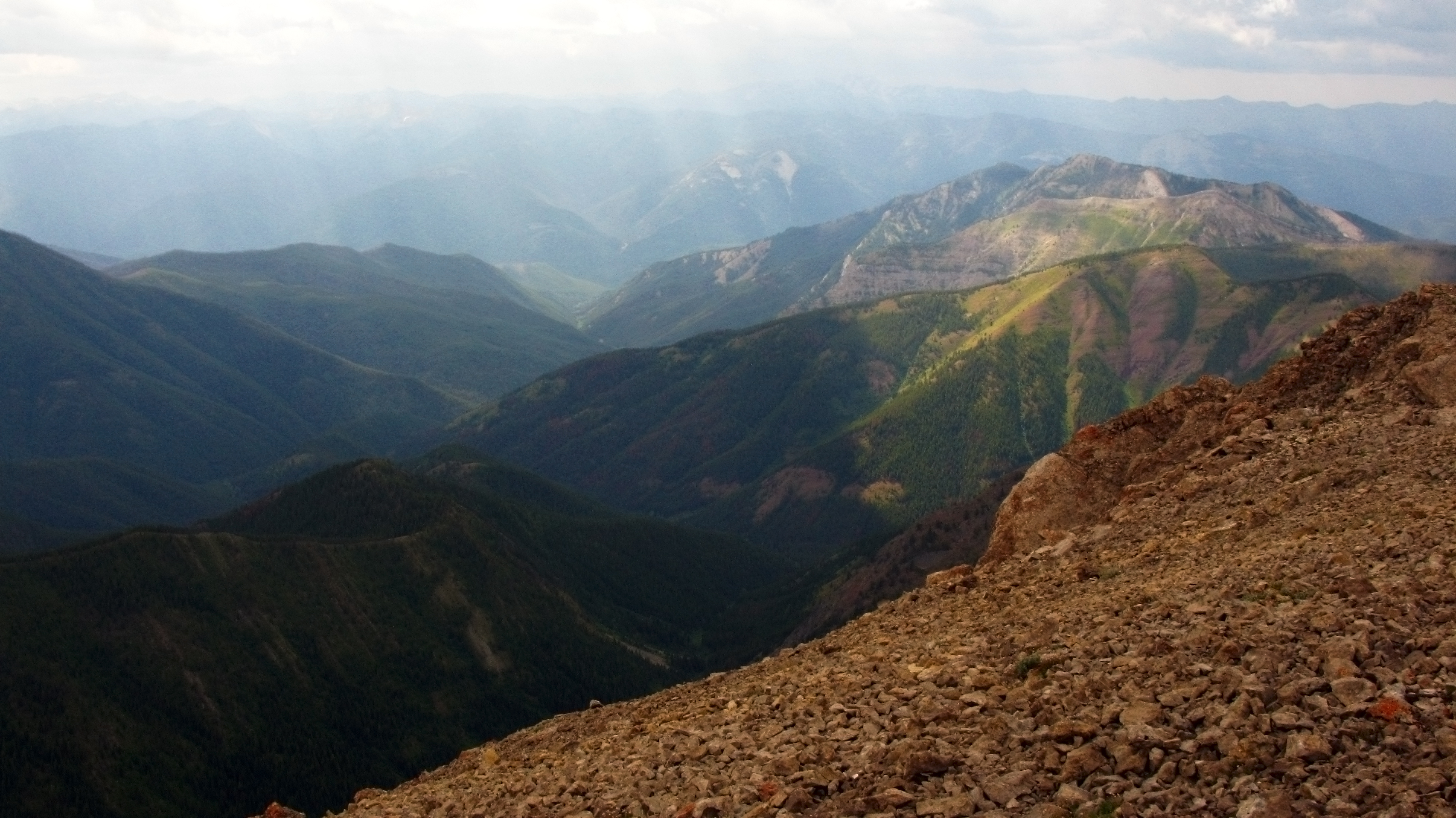
West view from Silvertip
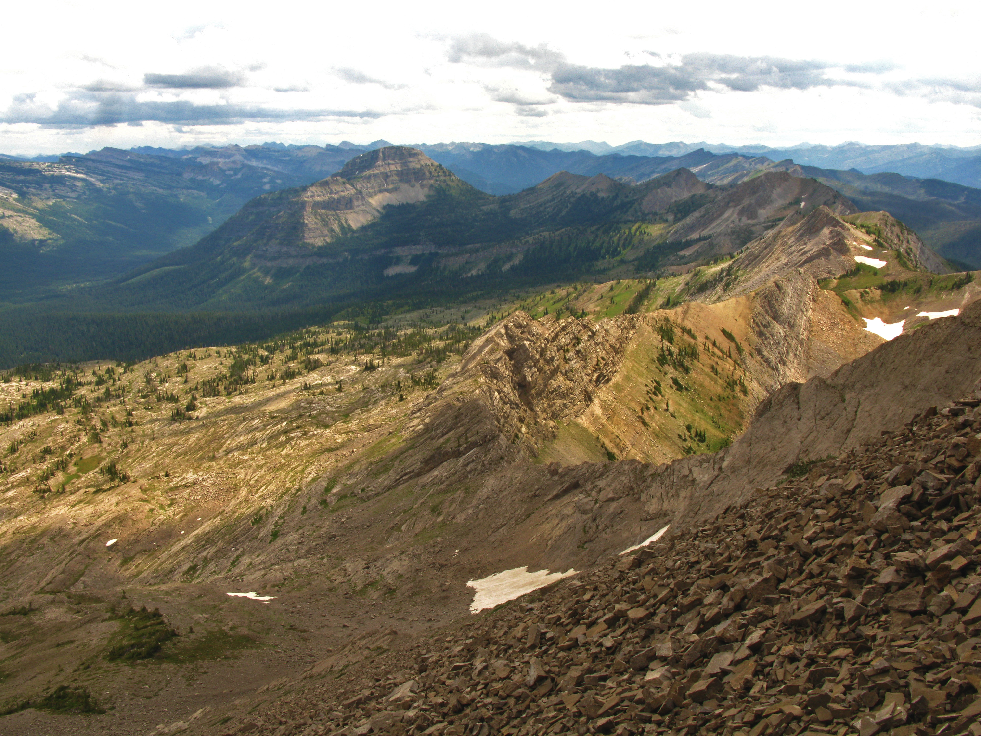
South view from Silvertip
Topographic Map of Meadow Creek Trailhead (recgovnpsdata), Montana, United States
Find elevation by address:

Places near Meadow Creek Trailhead (recgovnpsdata), Montana, United States:
Meadow Mountain
Sergeant Mountain
Mid Mountain
Chipmunk Peak
Bent Mountain
Silvertip Cabin
Whitcomb Peak
Limestone Peak
Spy Mountain
Condor Peak
Stony Hill
Bruce Mountain
Ibex Mountain
Bruce Ridge North
Bruce Ridge South
Tranquil Mountain
Dean Ridge
Horseshoe Peak
Gildart Peak
Argosy Mountain
Recent Searches:
- Elevation of Corso Fratelli Cairoli, 35, Macerata MC, Italy
- Elevation of Tallevast Rd, Sarasota, FL, USA
- Elevation of 4th St E, Sonoma, CA, USA
- Elevation of Black Hollow Rd, Pennsdale, PA, USA
- Elevation of Oakland Ave, Williamsport, PA, USA
- Elevation of Pedrógão Grande, Portugal
- Elevation of Klee Dr, Martinsburg, WV, USA
- Elevation of Via Roma, Pieranica CR, Italy
- Elevation of Tavkvetili Mountain, Georgia
- Elevation of Hartfords Bluff Cir, Mt Pleasant, SC, USA