Elevation of Meaderboro Rd, Farmington, NH, USA
Location: United States > New Hampshire > Strafford County > Farmington > Farmington >
Longitude: -71.133214
Latitude: 43.3608578
Elevation: 276m / 906feet
Barometric Pressure: 98KPa
Elevation Map:
Satellite Map:
Related Photos:

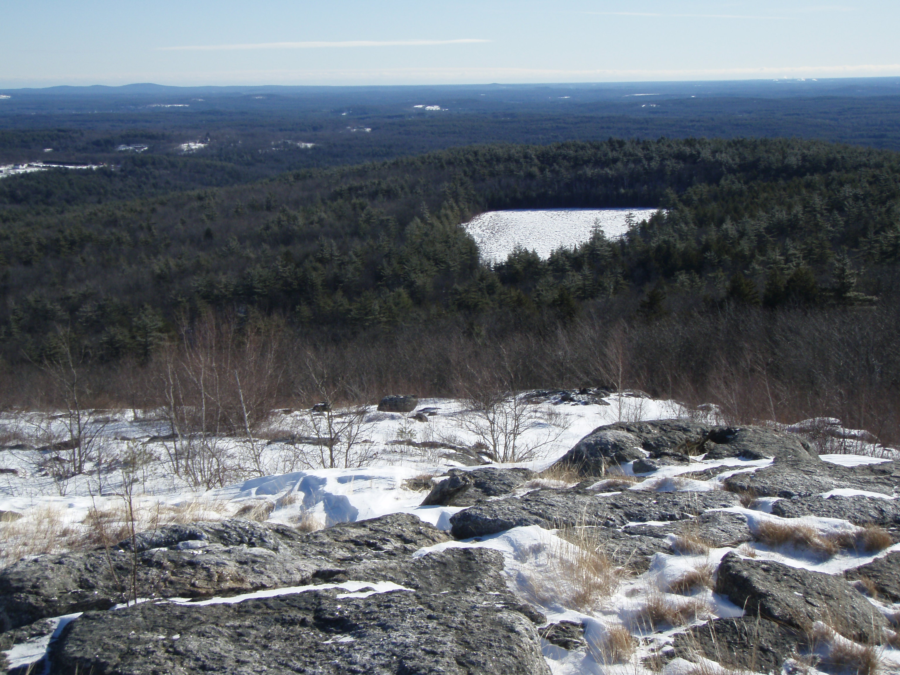
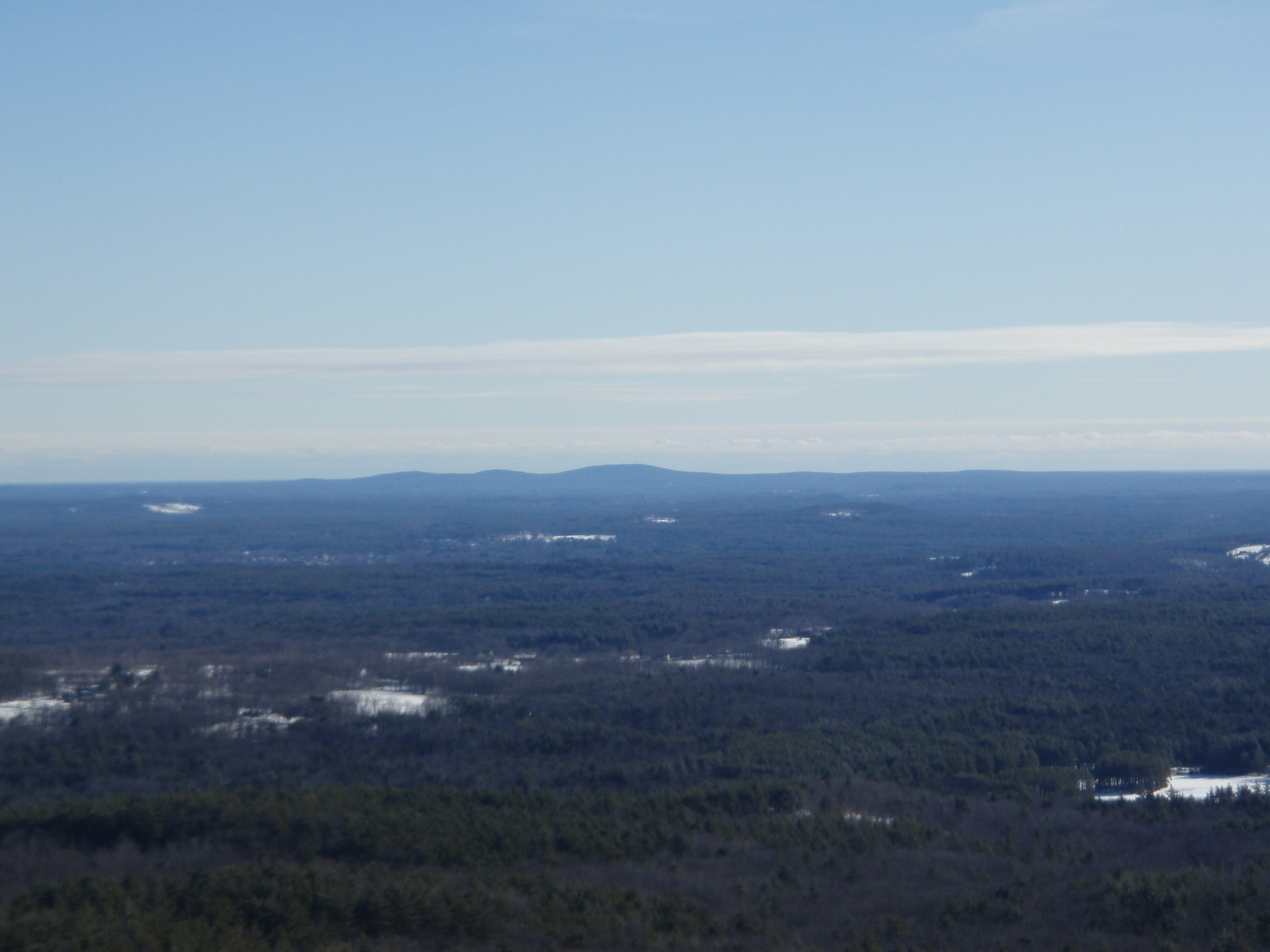
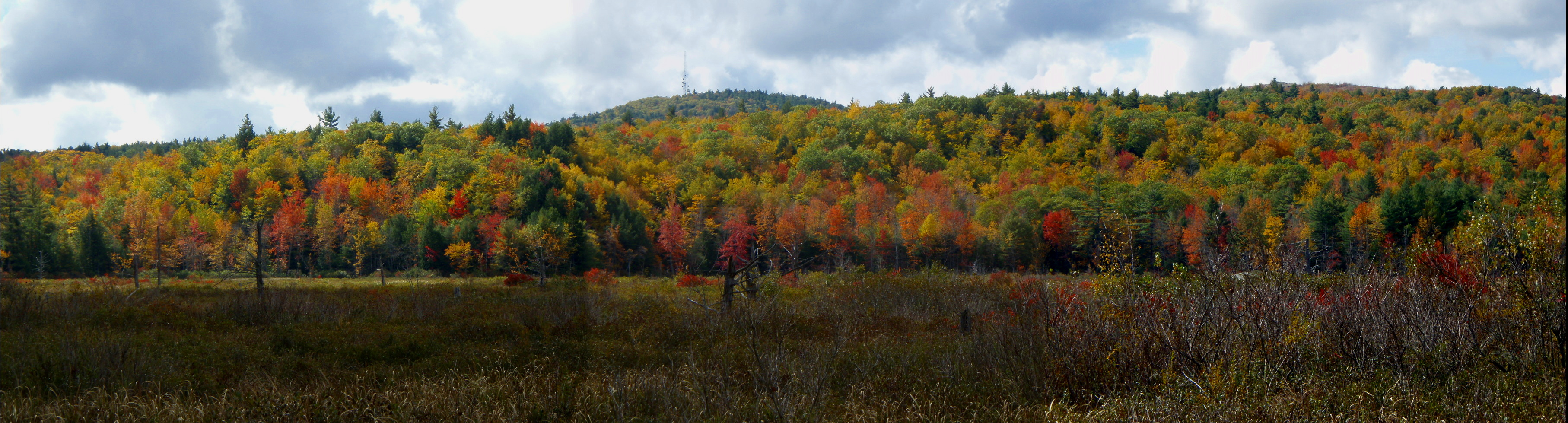
View from Little Baldy Pan

Barrington-2006-324-300
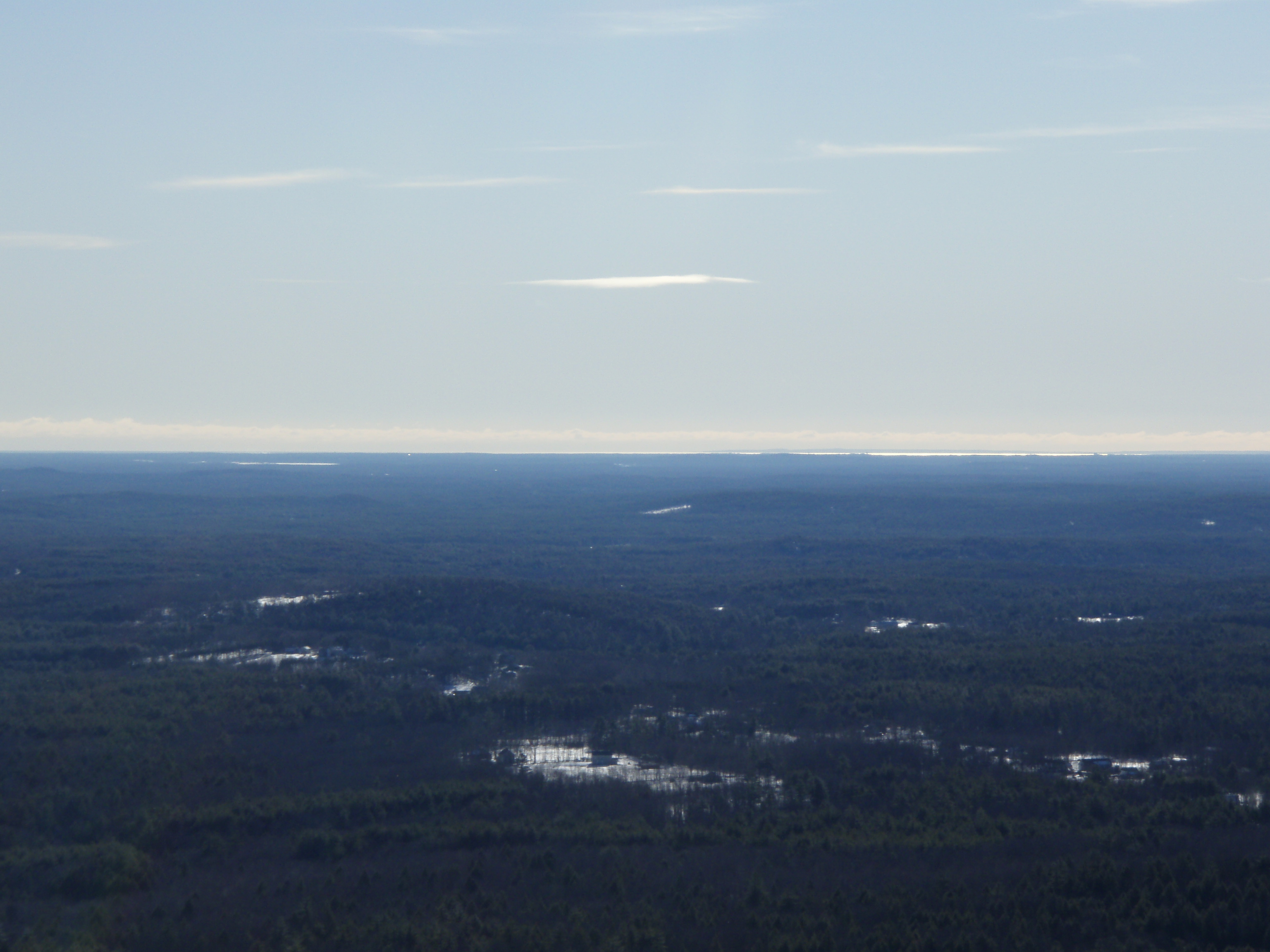
View East from Little Baldy

Into the Cloud

Summers End

Pretty view from the Pines bike trail
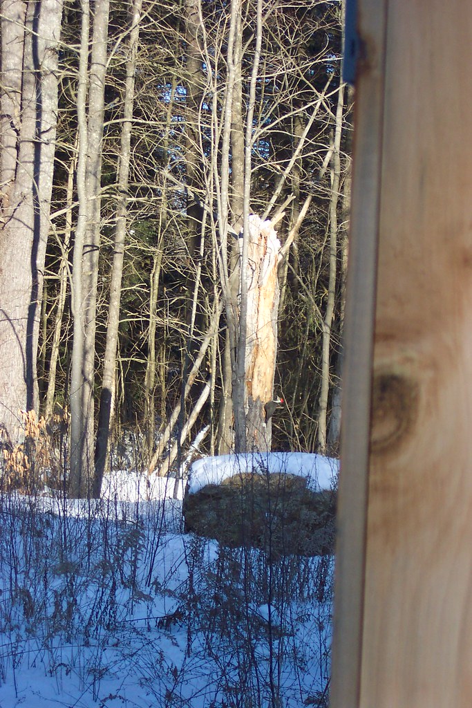
Giant (Pileated) Woodpecker
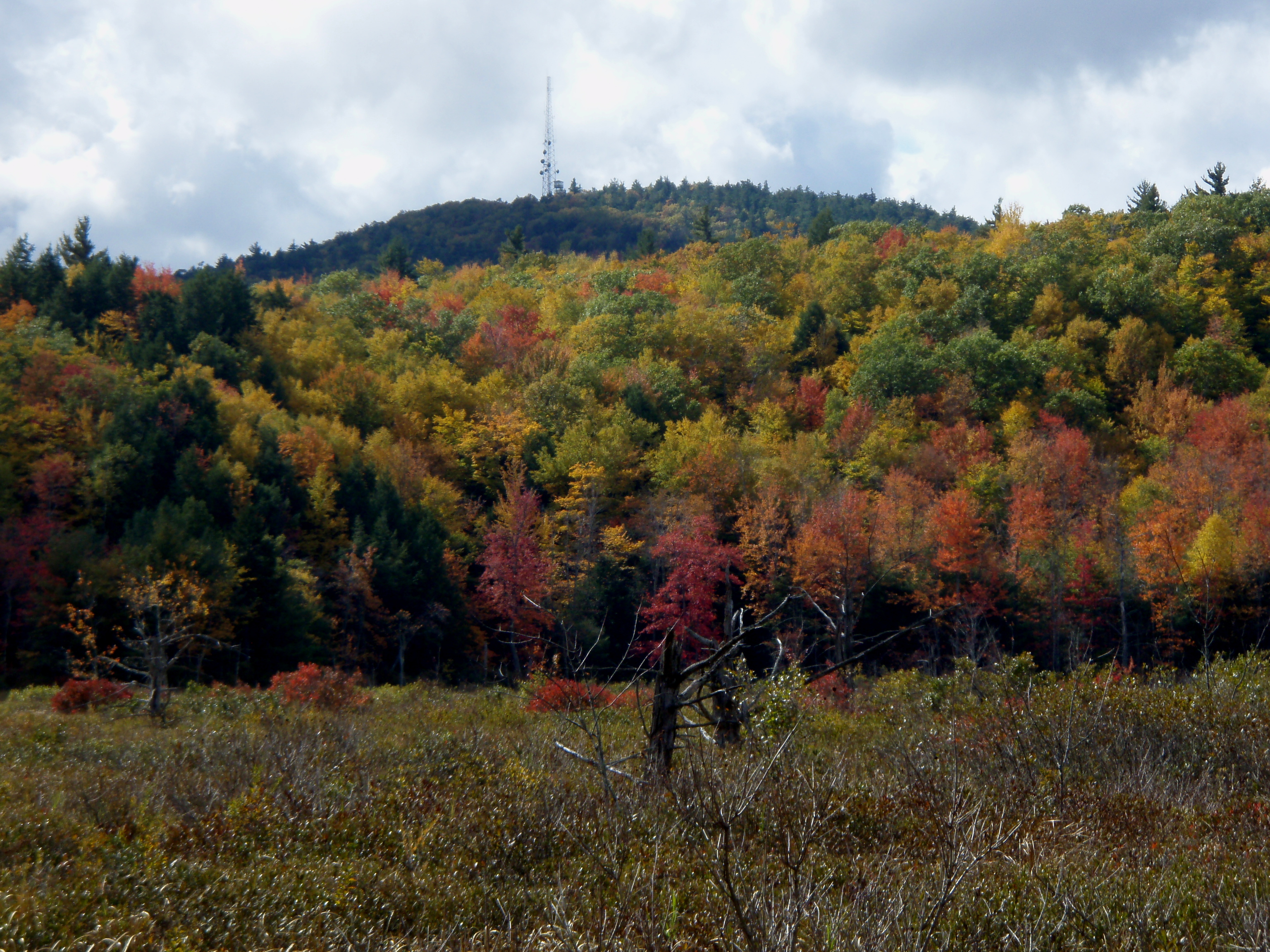
View from Tower
Barrington-2006-210-6x9
Barrington-2006-211-300

Read Across America
View from Tower

Mike McGlone Here With Us In Alton

Time Saver...

Sunrise Fire Over Baxter Lake
morning light
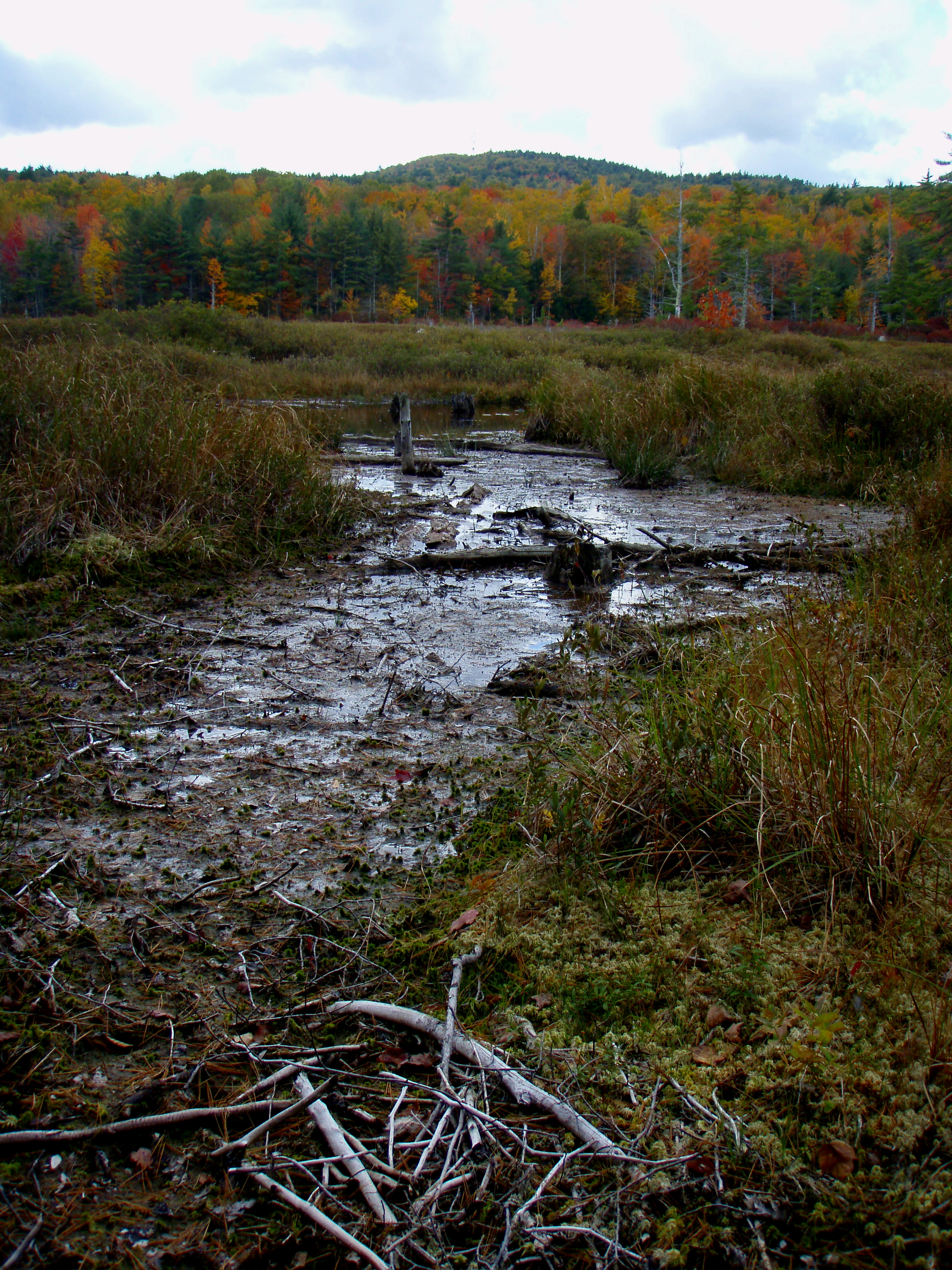
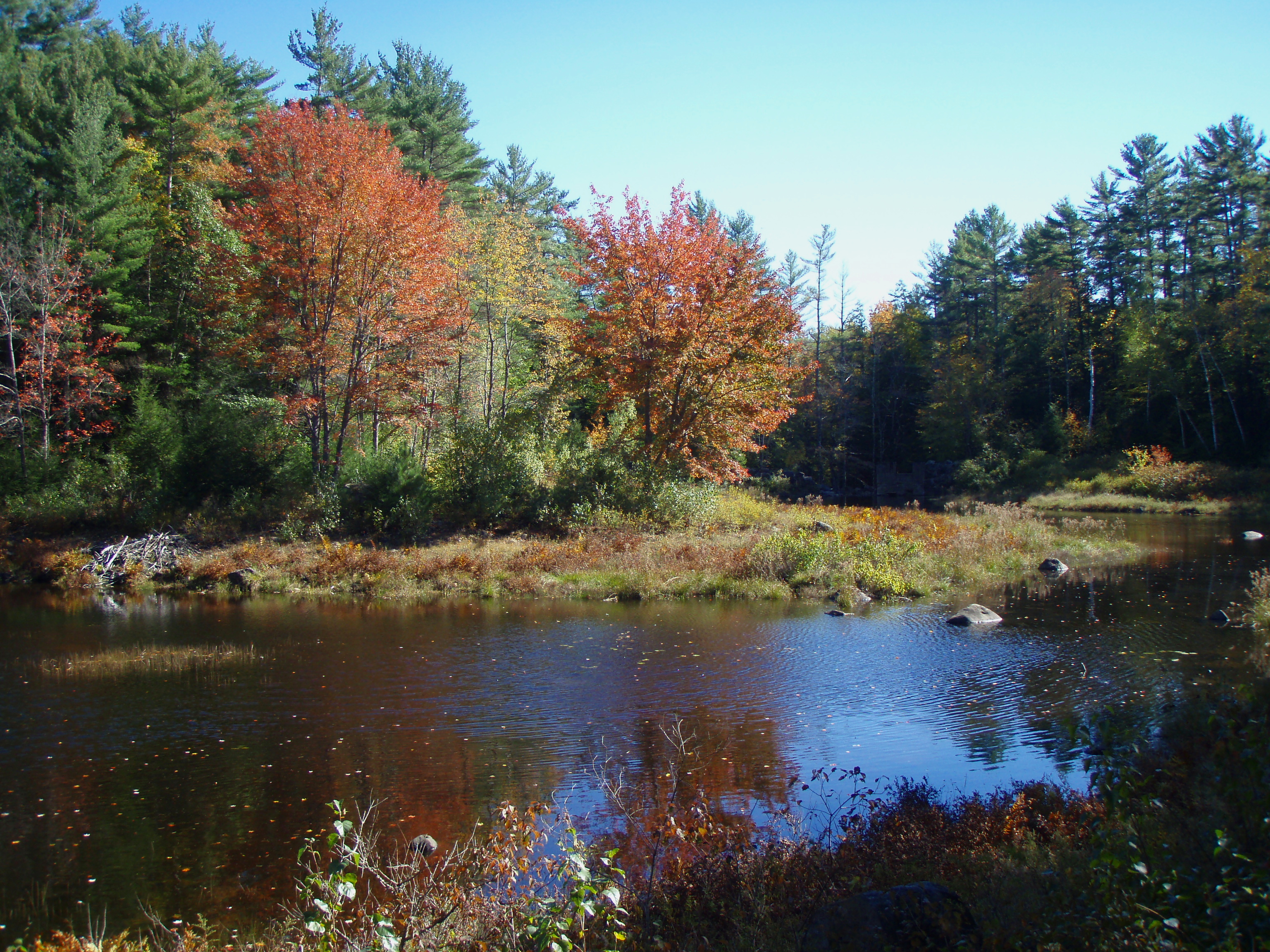
Berry's River
Willey Pond NH
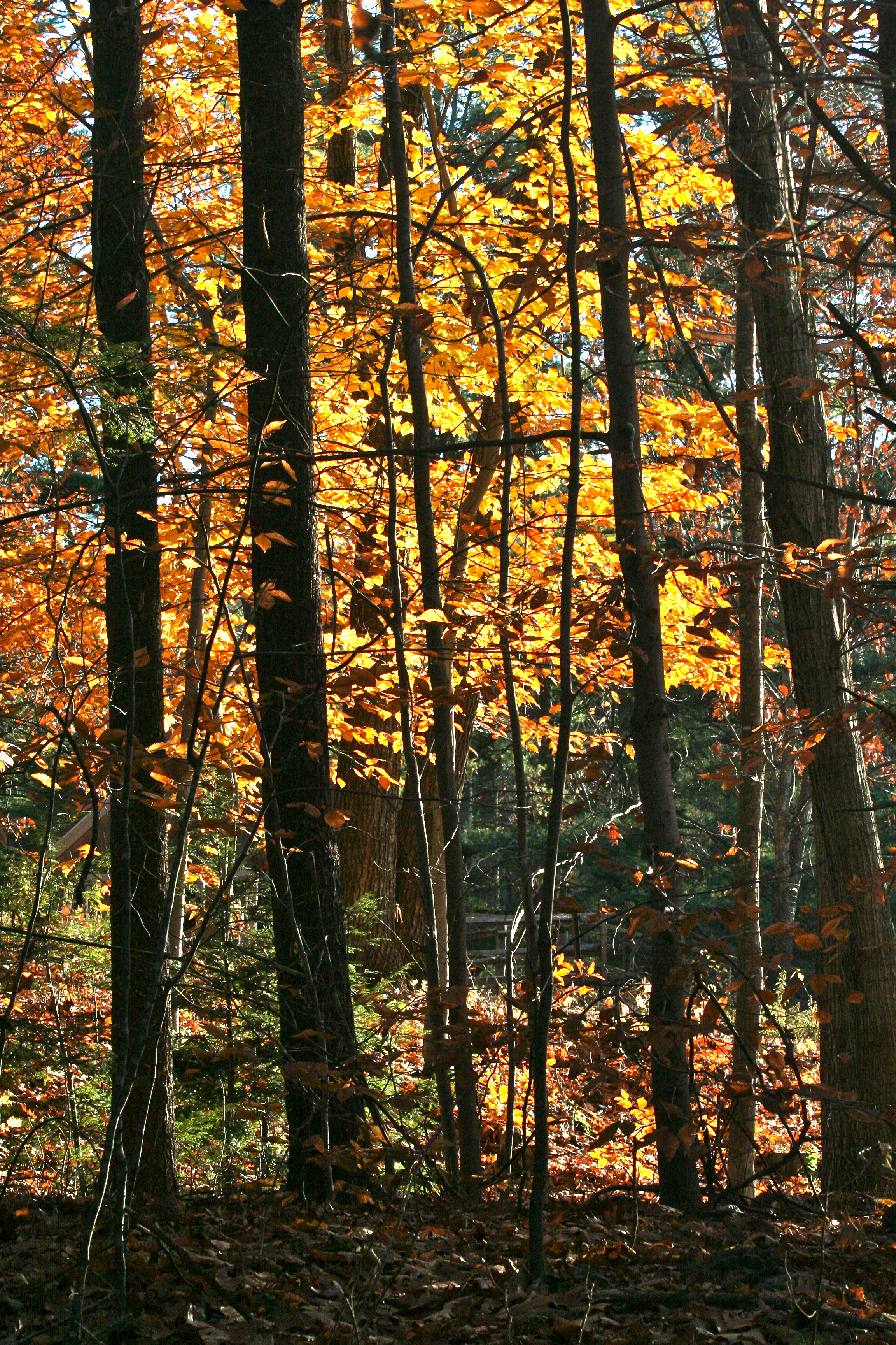
The Woods Of New Hampshire...

New Hampshire - October 1975
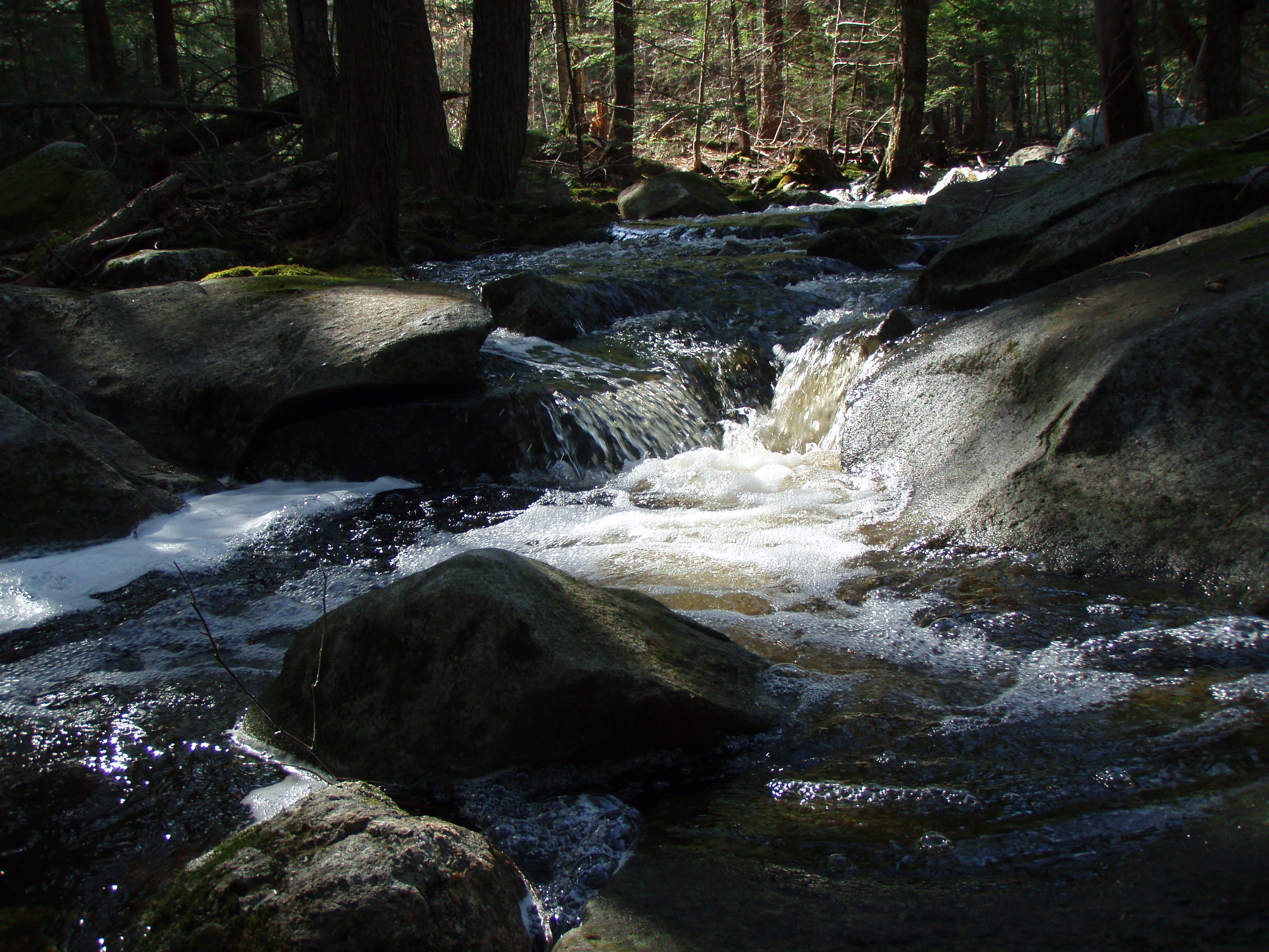
Berry's River

Berry's River

More Pics from Mailin's Phone
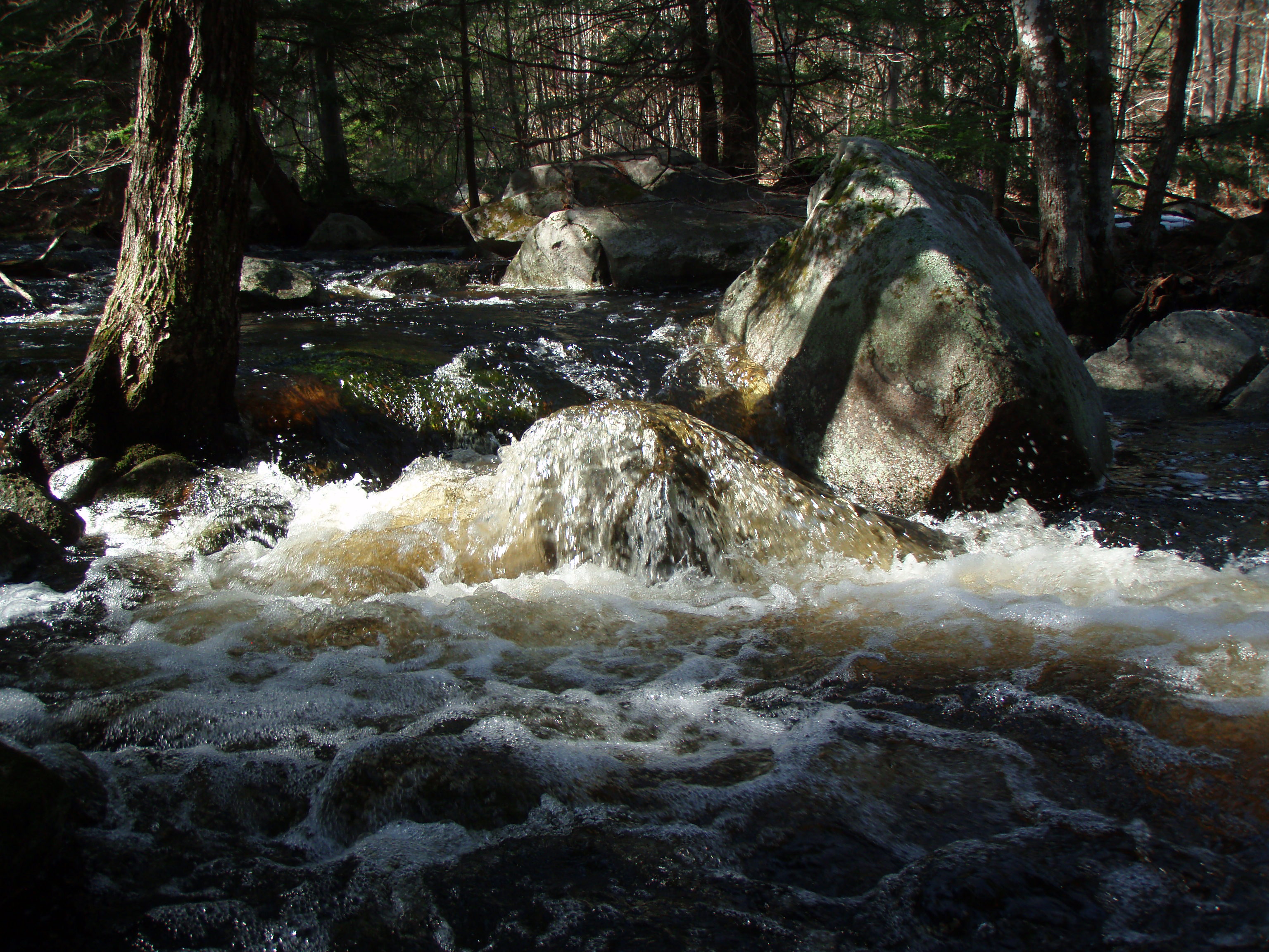
Berry's River
Blue Job (pano)
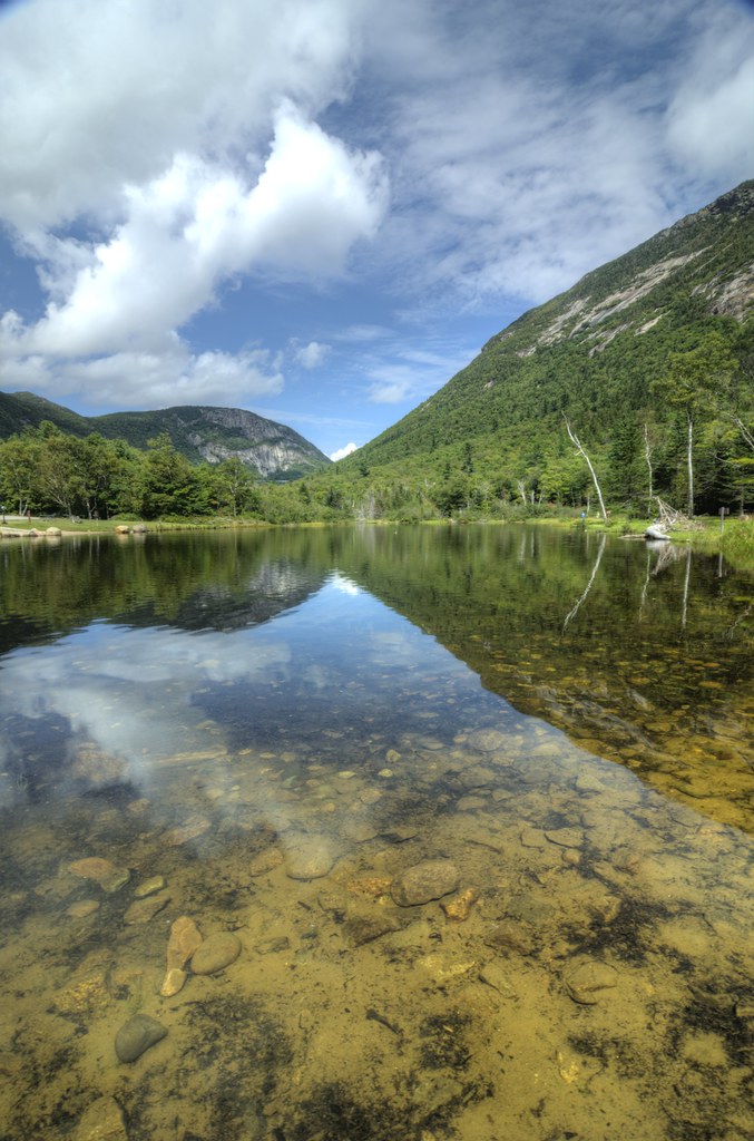
Oxbow Pond
Mt. Blue Job
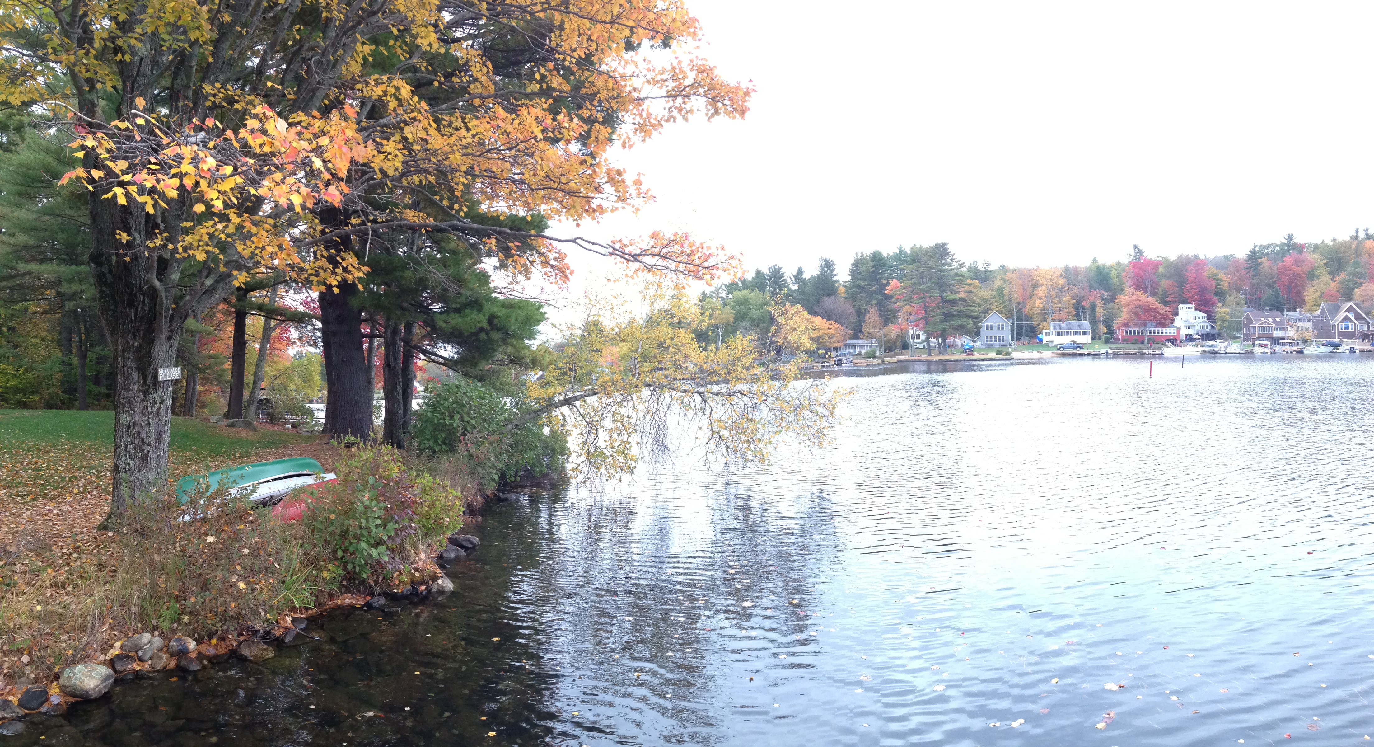
Bow Lake

Berry's River
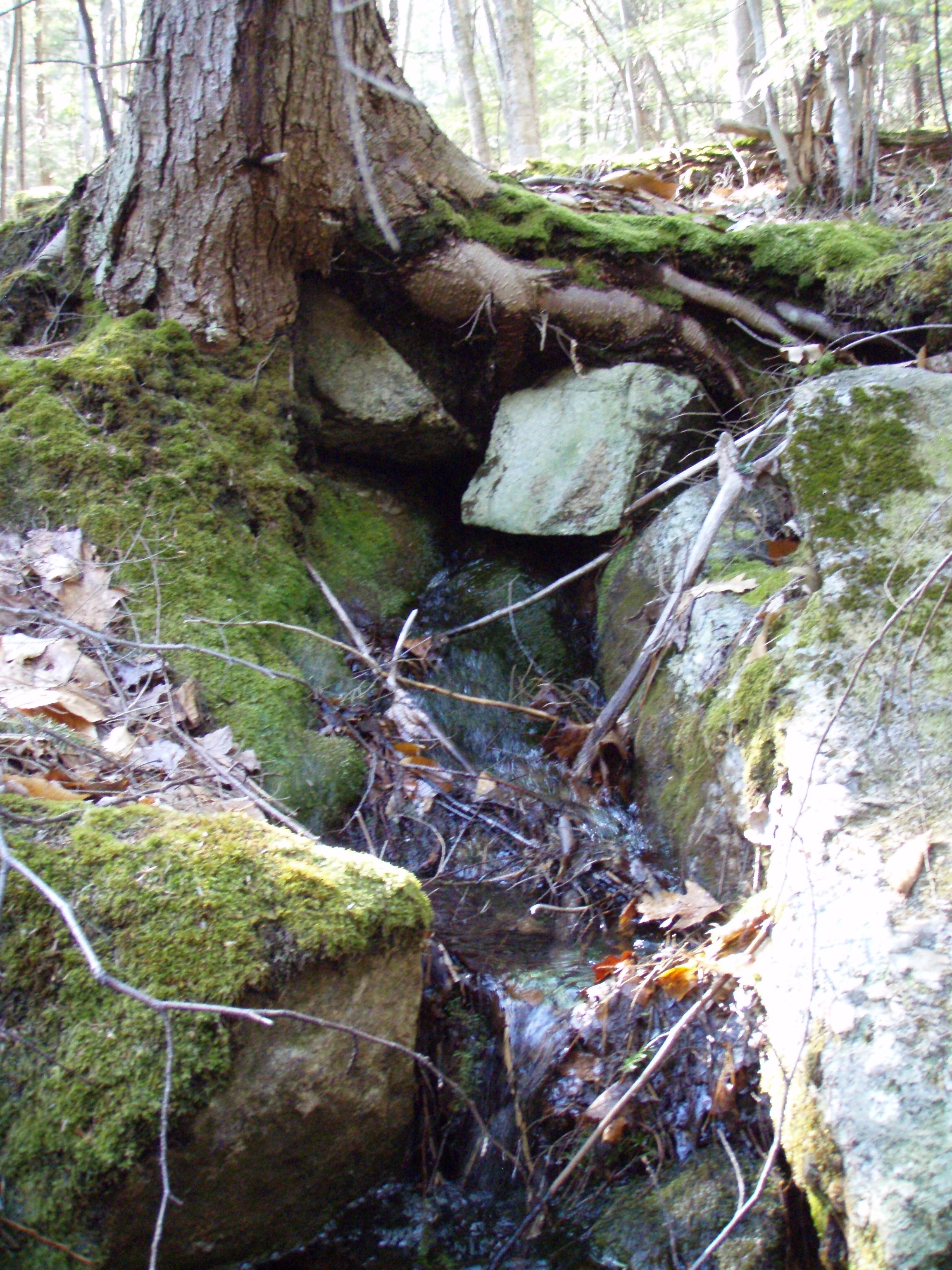
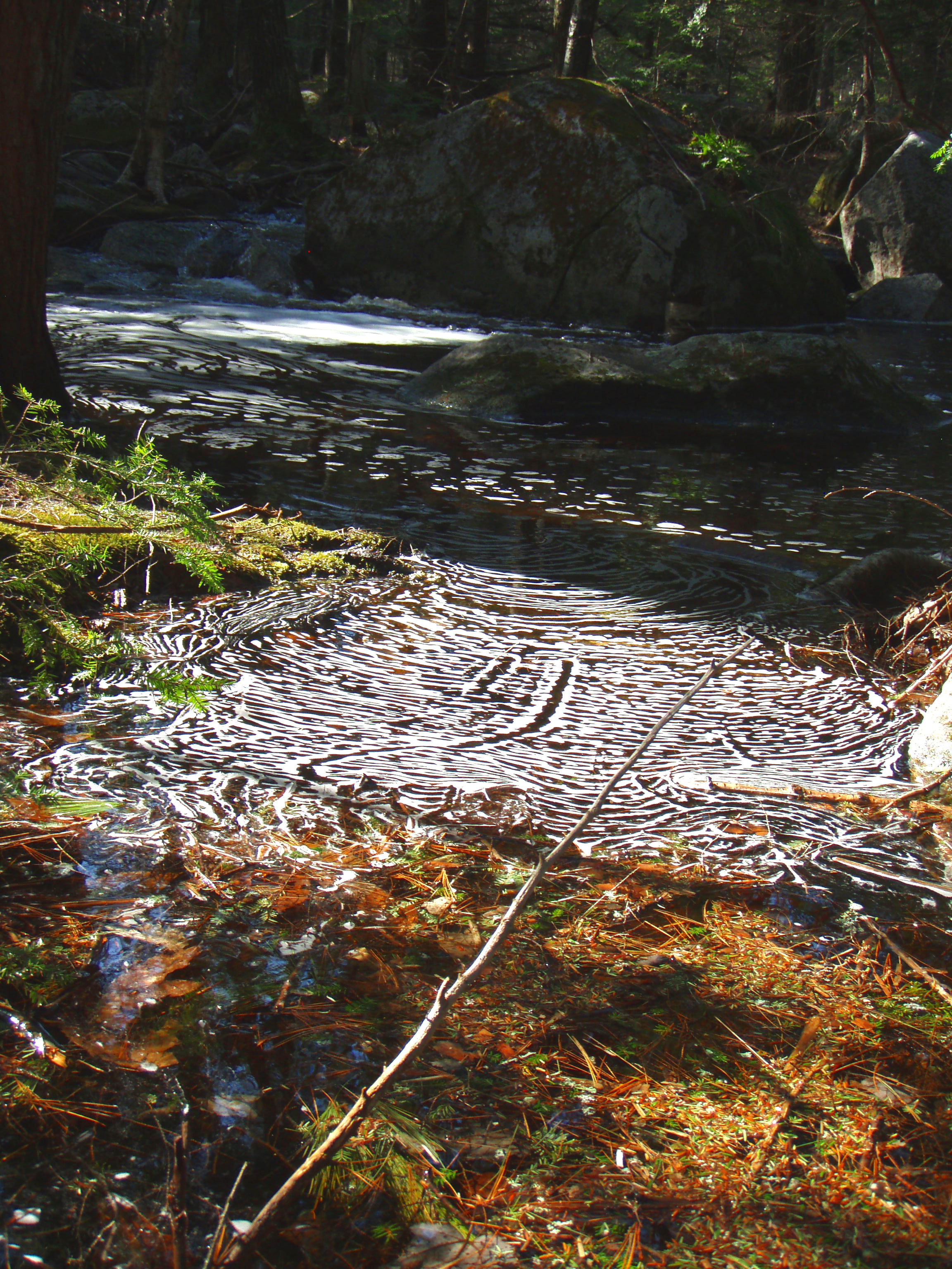
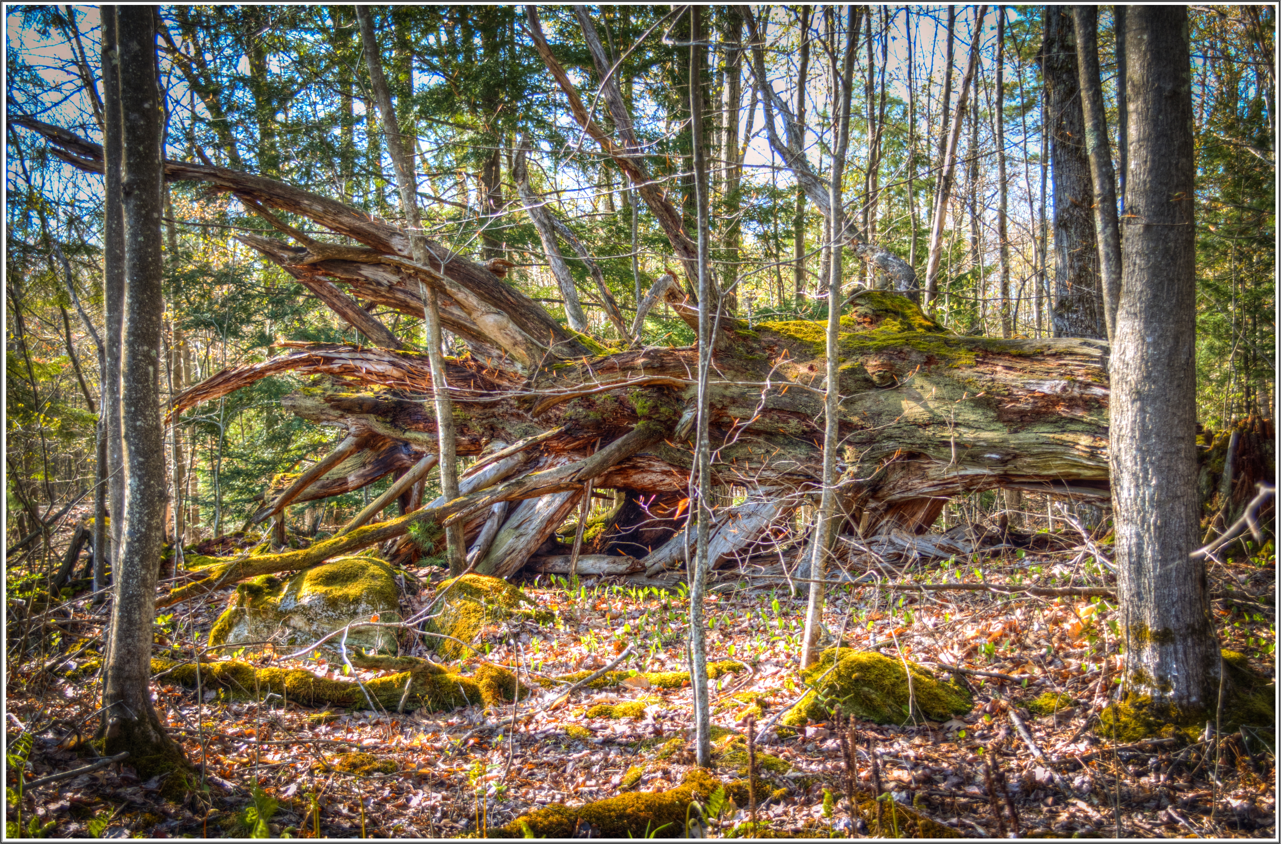
Stream under a pine root structure
Waldron Mill Pond
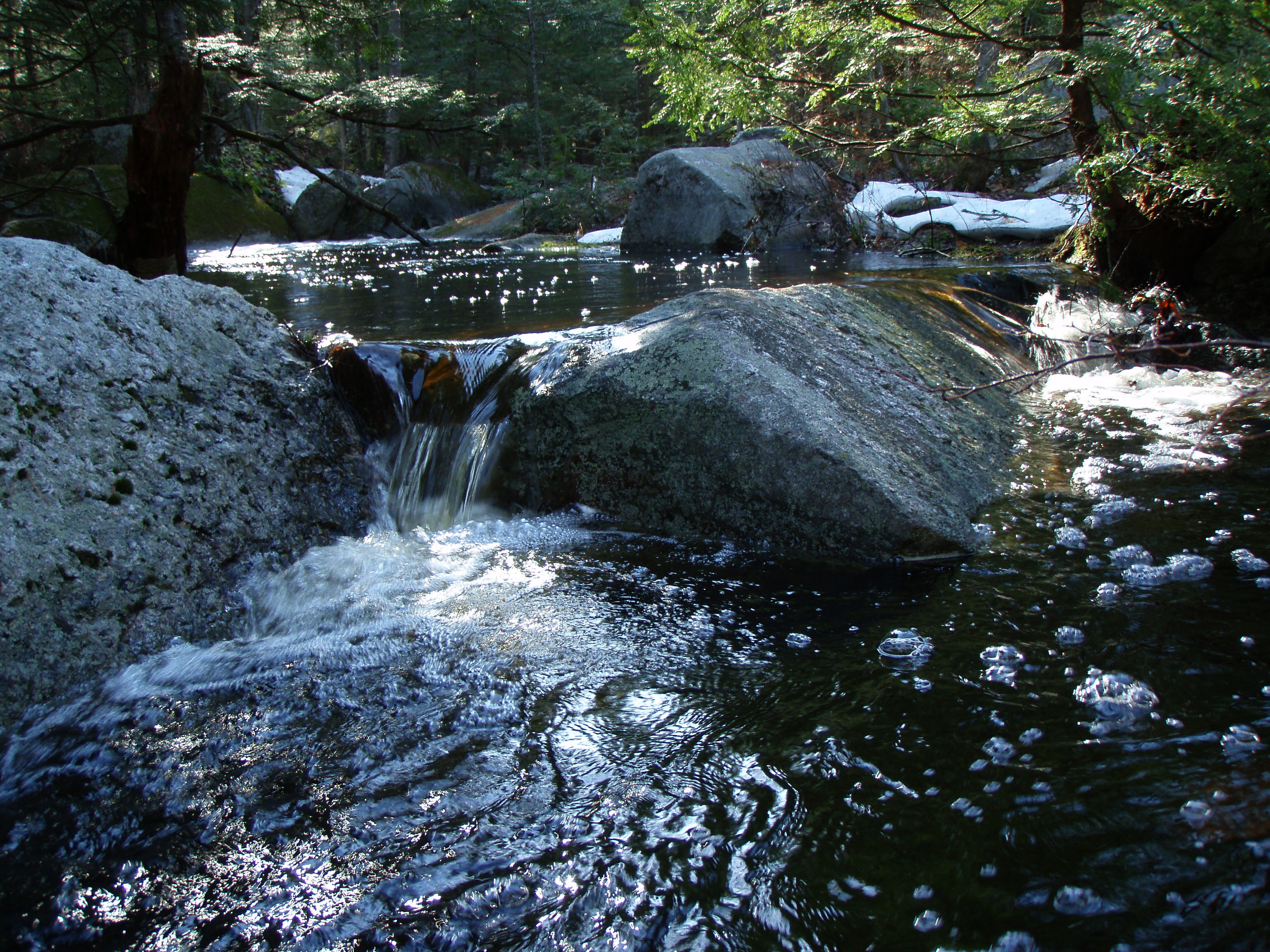
Berry's River
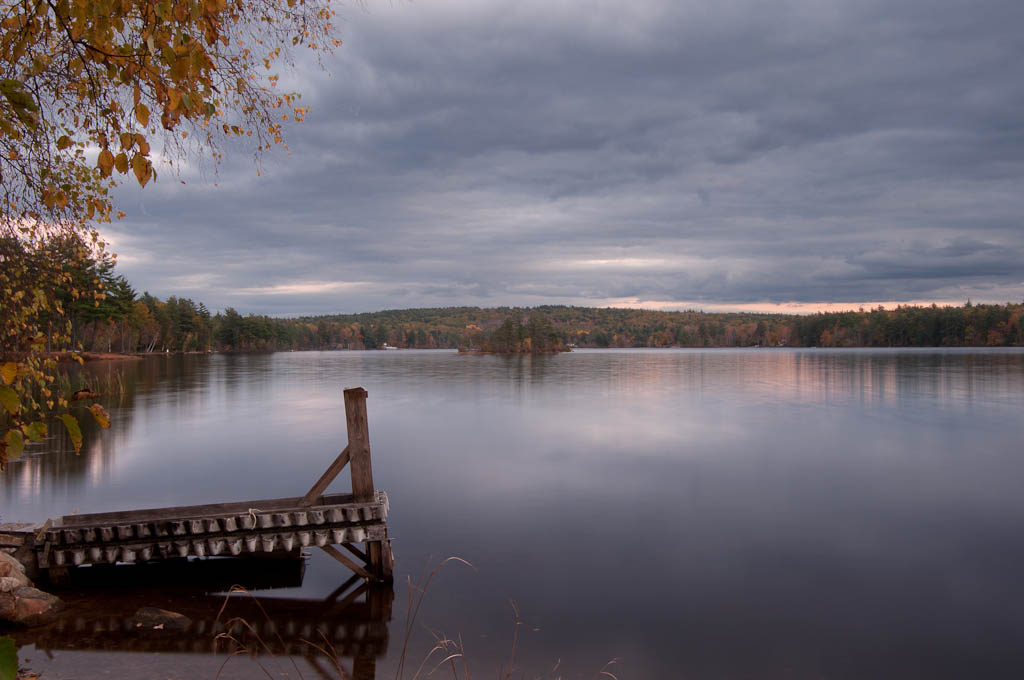
Sunset on Sunrise Lake
Topographic Map of Meaderboro Rd, Farmington, NH, USA
Find elevation by address:

Places near Meaderboro Rd, Farmington, NH, USA:
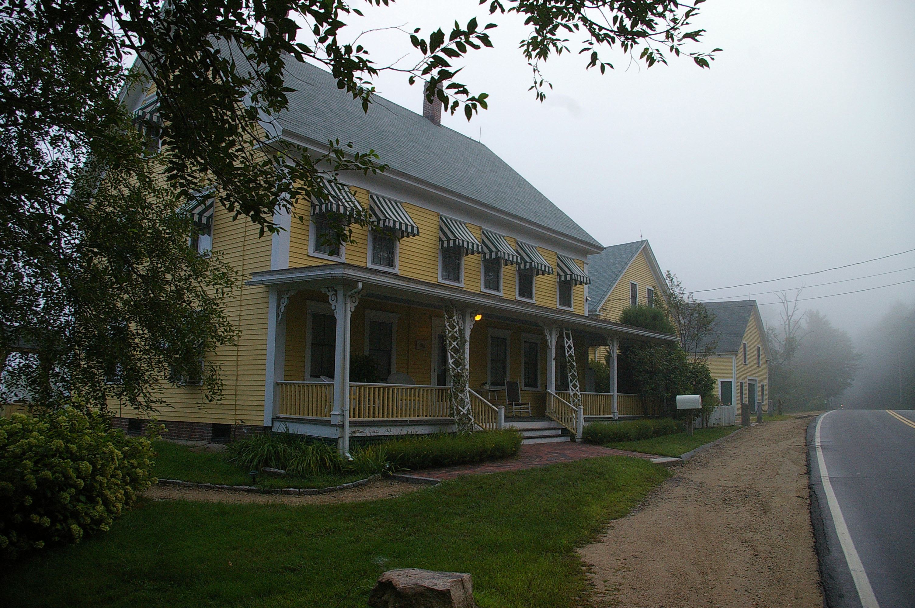
81 Meaderboro Rd
407 Berry Rd
1194 First Crown Point Rd
462 Berry Rd
Little Niagra Falls Rd, Strafford, NH, USA
57 Jenkins Rd
Blue Job Mountain
250 Berry Rd
480 Barn Door Gap Rd
N Barnstead Rd, Center Barnstead, NH, USA
147 Berry Rd
708 N Barnstead Rd
Farmington
261 Muchado Hill Rd
Strafford
New Hampshire 11
Farmington
Farmington
1 Charles St
17 Civic St
Recent Searches:
- Elevation of Corso Fratelli Cairoli, 35, Macerata MC, Italy
- Elevation of Tallevast Rd, Sarasota, FL, USA
- Elevation of 4th St E, Sonoma, CA, USA
- Elevation of Black Hollow Rd, Pennsdale, PA, USA
- Elevation of Oakland Ave, Williamsport, PA, USA
- Elevation of Pedrógão Grande, Portugal
- Elevation of Klee Dr, Martinsburg, WV, USA
- Elevation of Via Roma, Pieranica CR, Italy
- Elevation of Tavkvetili Mountain, Georgia
- Elevation of Hartfords Bluff Cir, Mt Pleasant, SC, USA