Elevation of Meacham, OR, USA
Location: United States > Oregon > Umatilla County >
Longitude: -118.42134
Latitude: 45.5065187
Elevation: 1124m / 3688feet
Barometric Pressure: 89KPa
Elevation Map:
Satellite Map:
Related Photos:

Elise likes the view
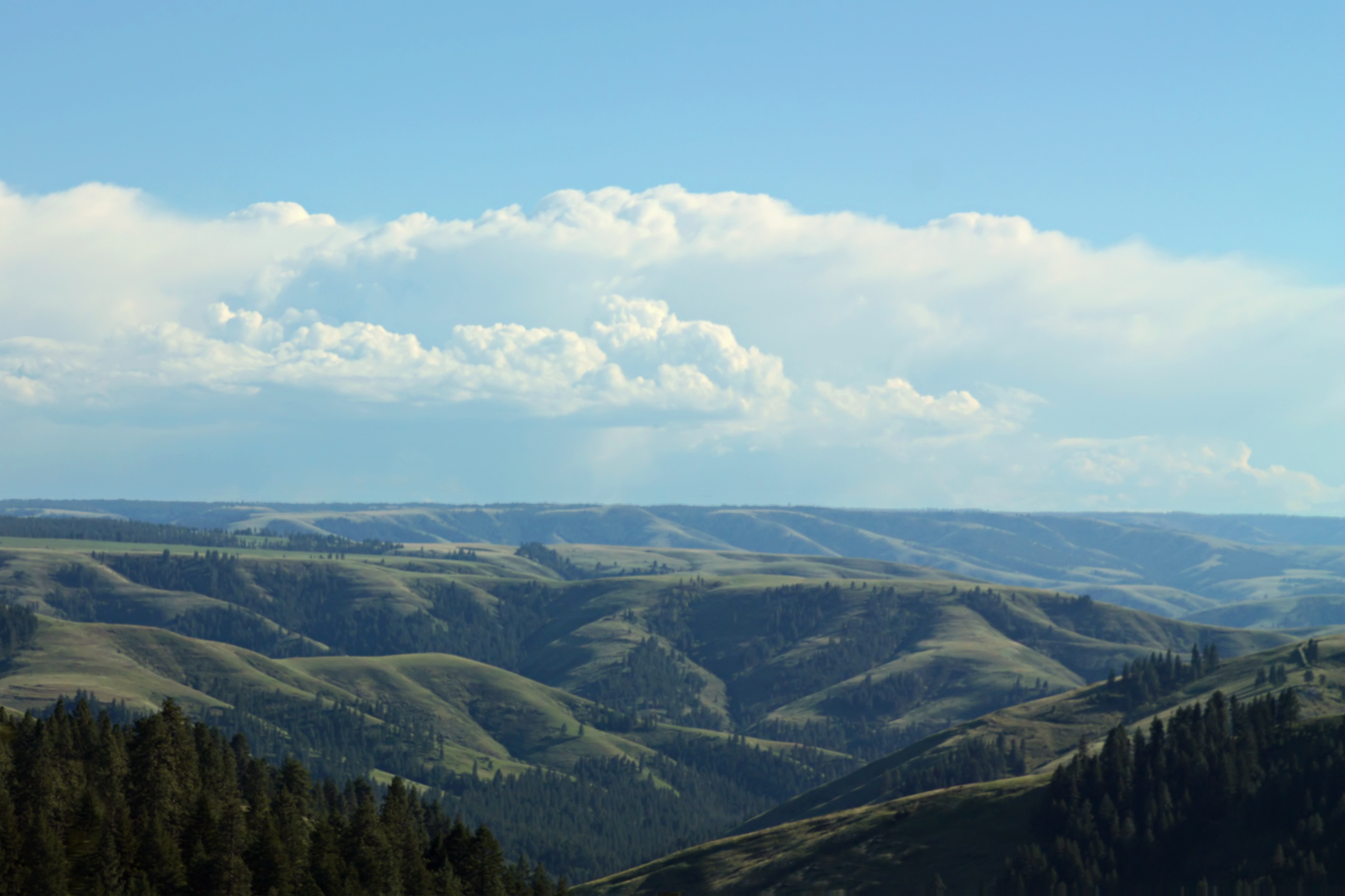
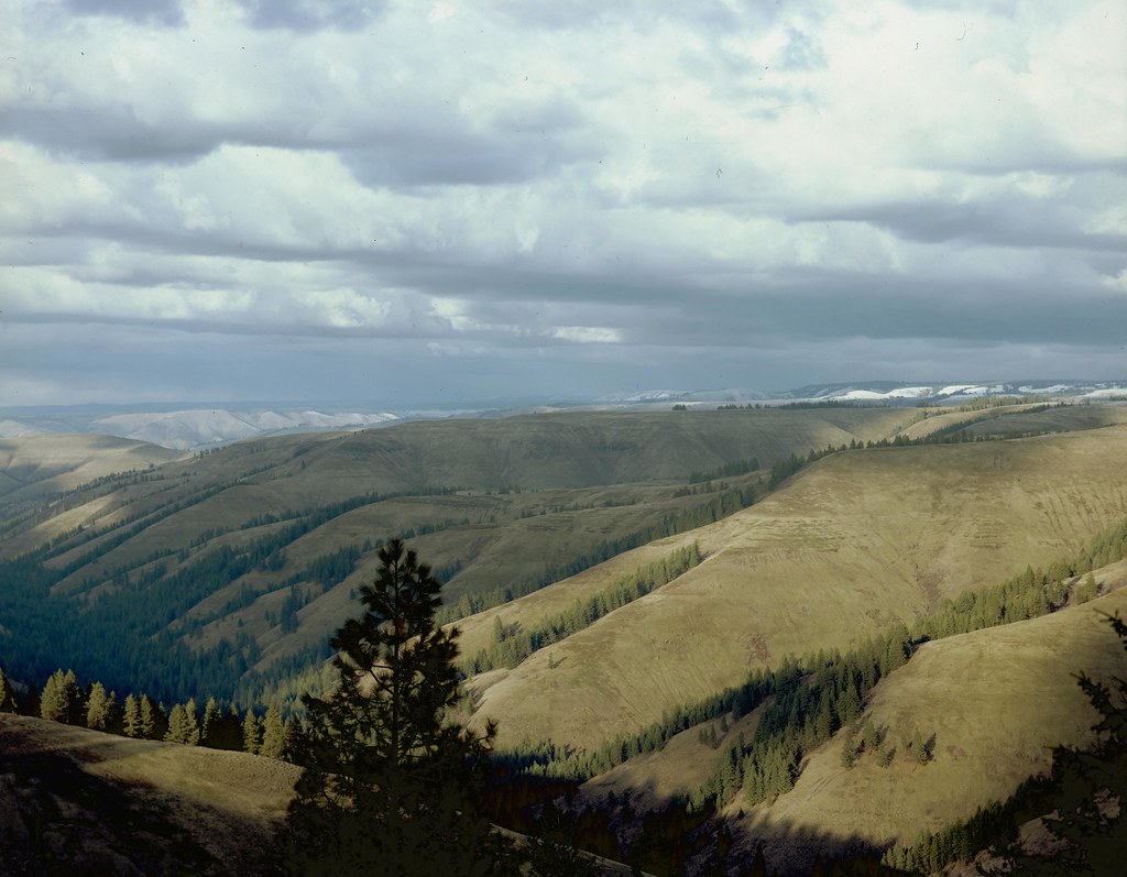
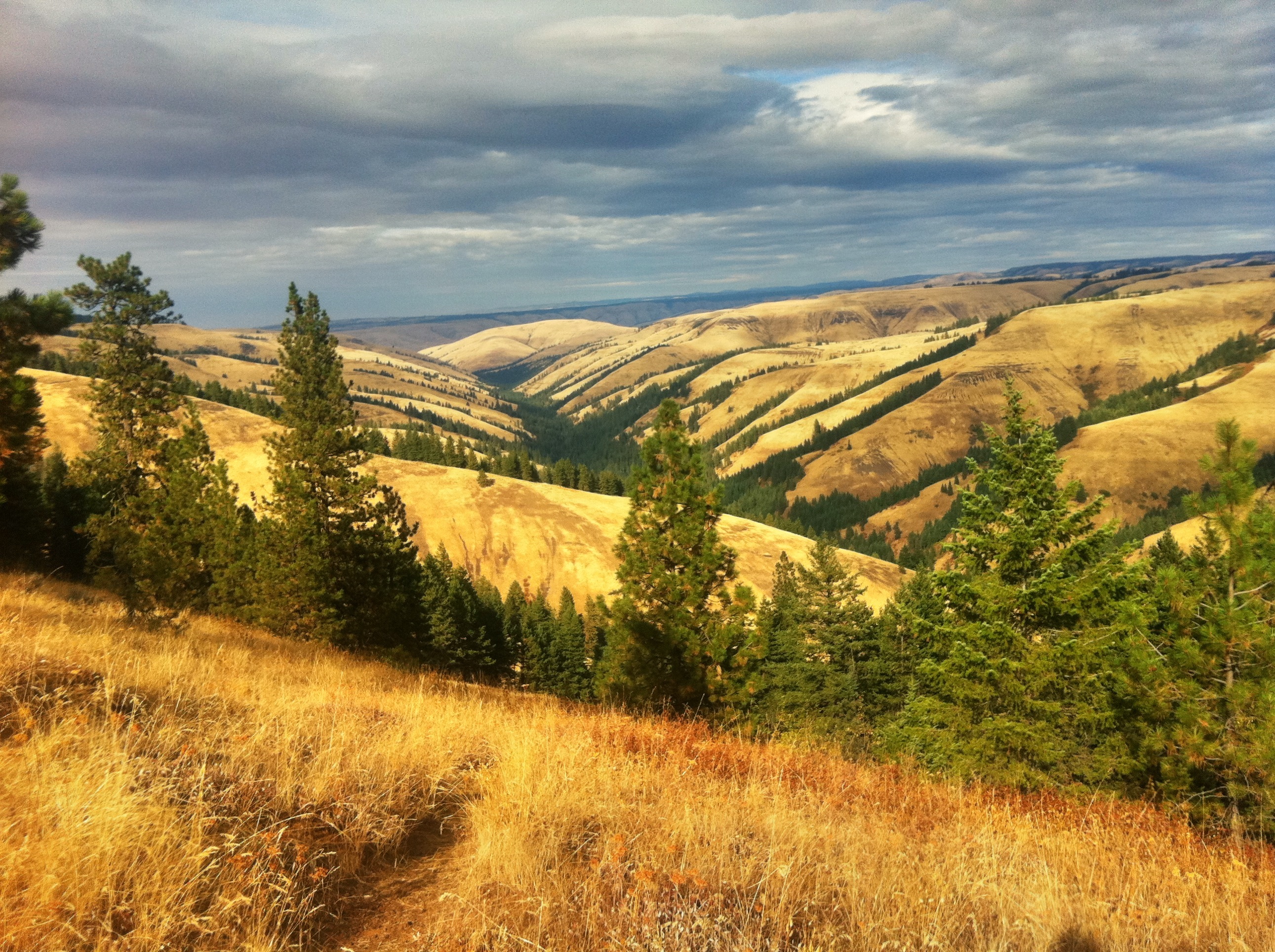
Blue Mountain valleys

Blue Mountains in winter
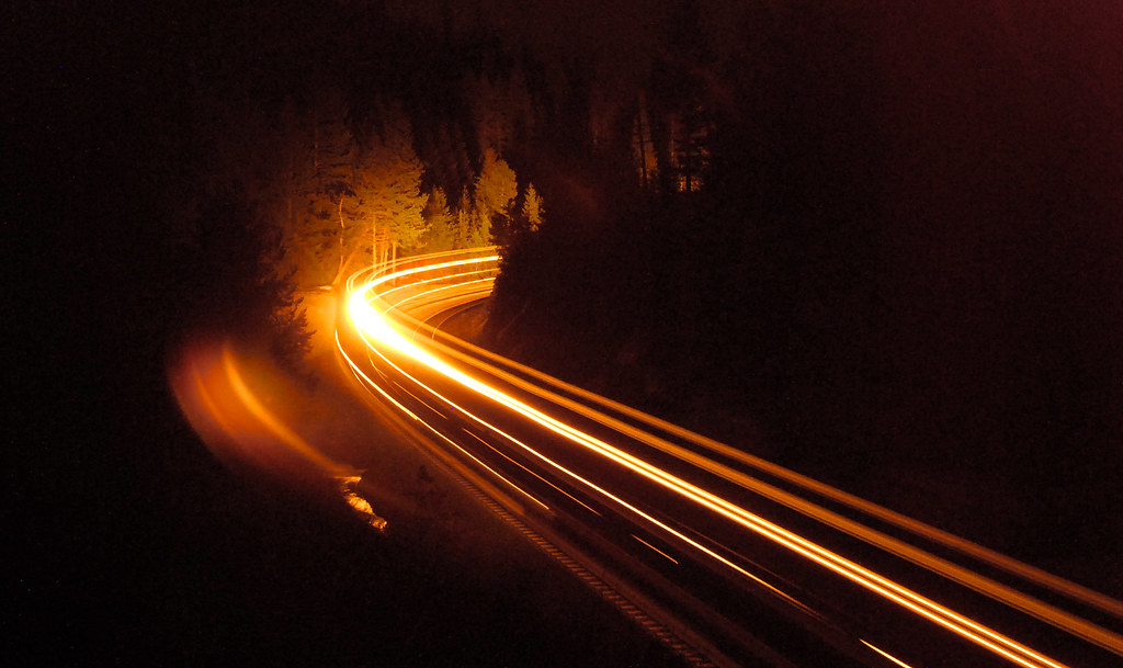
20080504_5366...Westbound train ascends the grade at Kamela, Oregon
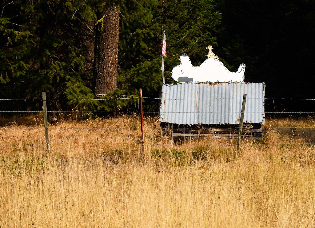
Snoopy... 20120924_5976
View point - trip to LA for Renegade

98 Peterbuilt
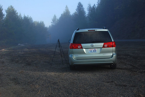
The Green Weenie and Joe Tripod... 20080505_5463
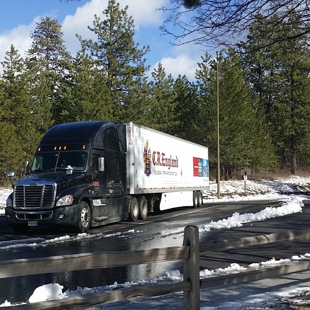
#DeadmansPass #Oregon #cr_england #MyDay #FavoritePlaces #View

20080505_5481...Fluid dynamics (drainage whirlpool)

20080505_5468...Grade crossing at Kamela

20111103_9339...Blue in the Blues

View from near Deadman Pass

Old Oregon Trail, overlooking Interstate 84

Morning Light

PIX-IMG_4646HDTV-Test-g
On Cabbage Hill, March 2013

A Patch of Blue

Cycle Oregon 2006 Day 6
where the grass is greener
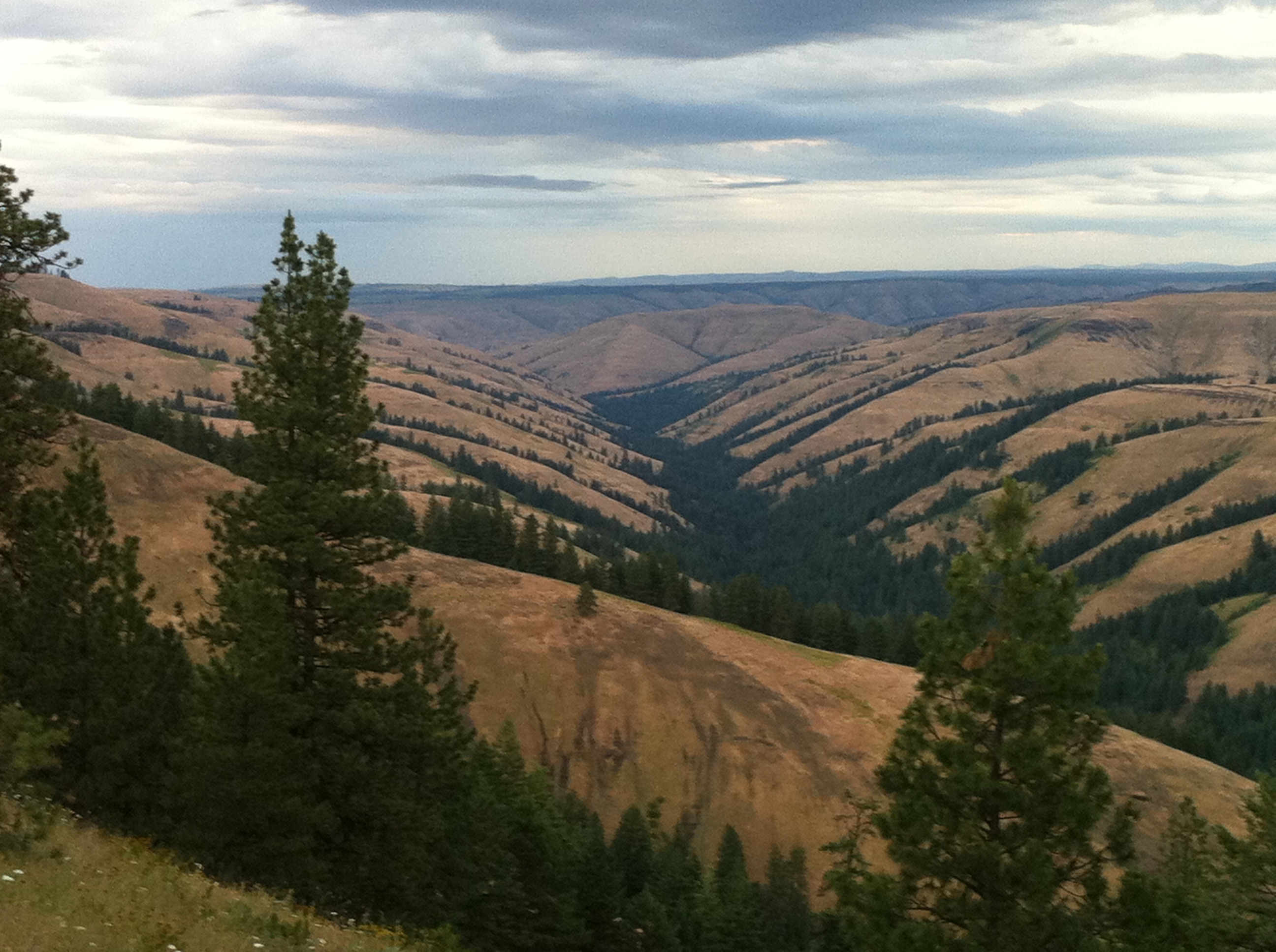
Old Emigrant Trail out of Pendleton, up into the Blue Mountains

Freezing fog

Under Threatening Skies

Blue Mountain Pass - Wallowa–Whitman National Forest
20081003_6487...Inspecting the Oregon Trail

Deadman Pass

2012-ROADTRIP23-West Oregon9

#nofilter needed #natural #beautiful #Oregon #Truckdriving #MyDay #scenic #Landmark #Nature

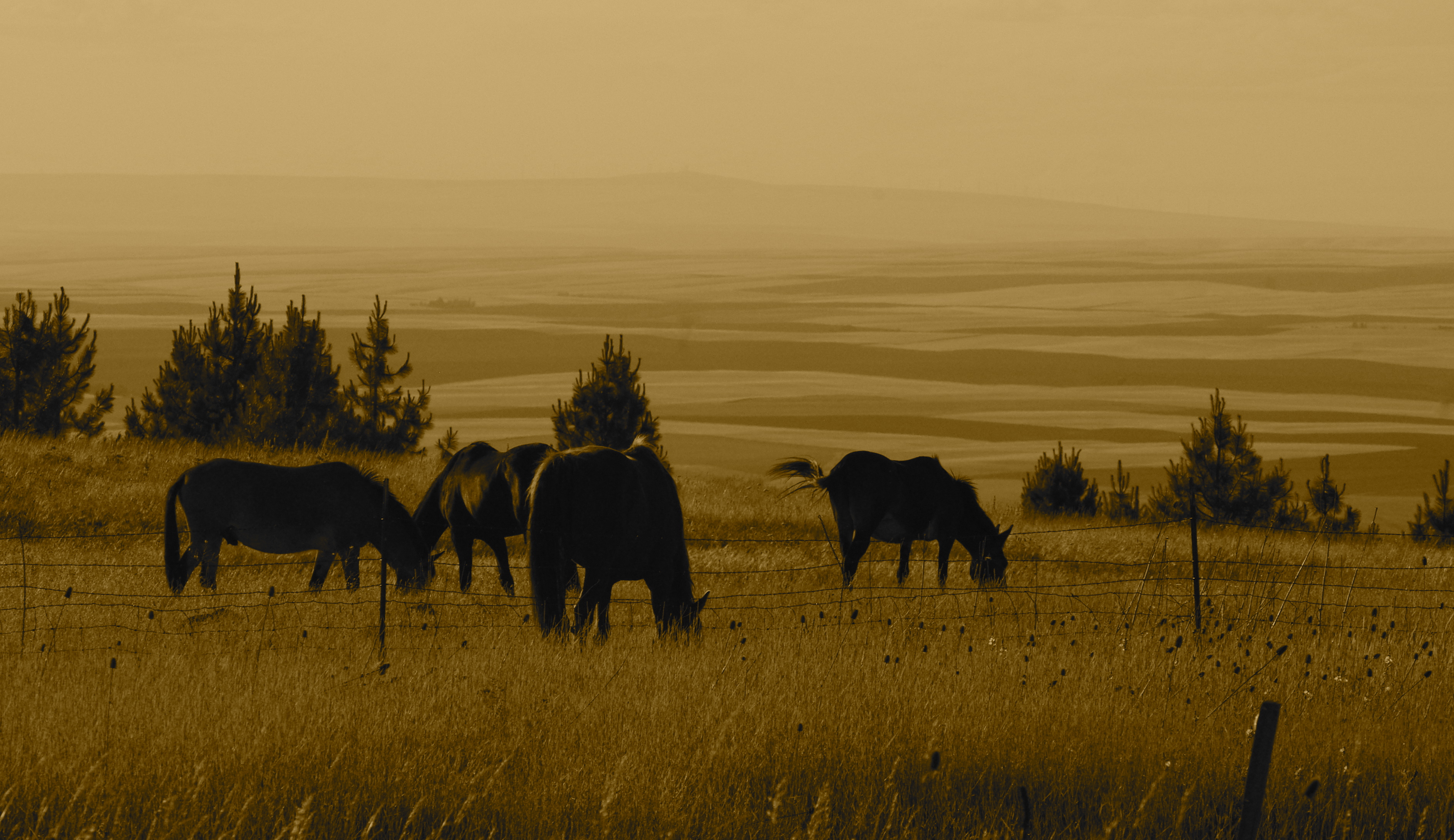
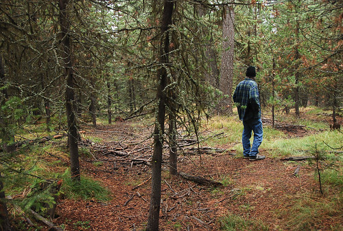
Fox Prairie
Topographic Map of Meacham, OR, USA
Find elevation by address:

Places near Meacham, OR, USA:
Deadman Pass Lookout Area
Staples St, La Grande, OR, USA
Hilgard
59161 Mcintyre Rd
58372 Grande Ronde Riv Rd
54509 Coombs Loop
Starkey
54818 Pine Creek Rd
54818 Pine Creek Rd
54818 Pine Creek Rd
54818 Pine Creek Rd
54818 Pine Creek Rd
54818 Pine Creek Rd
103 S Hill St
Weston
424 E Currant St
E Main St, Athena, OR, USA
900 N 5th St
Umatilla Forks Campground
57894 Or-204
Recent Searches:
- Elevation of Corso Fratelli Cairoli, 35, Macerata MC, Italy
- Elevation of Tallevast Rd, Sarasota, FL, USA
- Elevation of 4th St E, Sonoma, CA, USA
- Elevation of Black Hollow Rd, Pennsdale, PA, USA
- Elevation of Oakland Ave, Williamsport, PA, USA
- Elevation of Pedrógão Grande, Portugal
- Elevation of Klee Dr, Martinsburg, WV, USA
- Elevation of Via Roma, Pieranica CR, Italy
- Elevation of Tavkvetili Mountain, Georgia
- Elevation of Hartfords Bluff Cir, Mt Pleasant, SC, USA