Elevation of Međimurje County, Croatia
Location: Croatia >
Longitude: 16.4213298
Latitude: 46.3766644
Elevation: 165m / 541feet
Barometric Pressure: 99KPa
Related Photos:
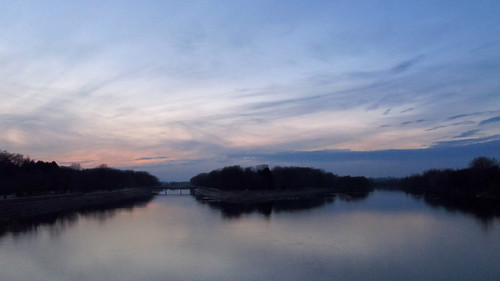
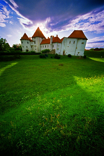
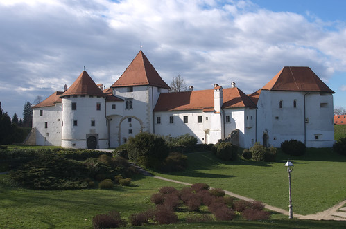
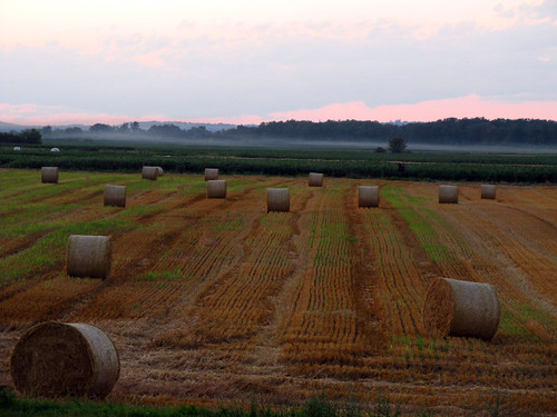
Topographic Map of Međimurje County, Croatia
Find elevation by address:

Places in Međimurje County, Croatia:
Places near Međimurje County, Croatia:
Varaždin
Vinogradska ul. 17, Kelemen, Croatia
Ul. Brigade Braće Radića 38, Vrbanovec, Croatia
Varaždin County
Hrženica
Sveti Đurđ
Obrankovec
Općina Sveti Đurđ
Vinogradi Ludbreški
Općina Ivanec
Varaždinska ul. 13, Brezje Dravsko, Croatia
Prigorec
Ivanšćica
17e
Kamenički Vrhovec
39a
Općina Lepoglava
Općina Zlatar Bistrica
Zlatar Bistrica
Koprivnica-križevci County
Recent Searches:
- Elevation of Corso Fratelli Cairoli, 35, Macerata MC, Italy
- Elevation of Tallevast Rd, Sarasota, FL, USA
- Elevation of 4th St E, Sonoma, CA, USA
- Elevation of Black Hollow Rd, Pennsdale, PA, USA
- Elevation of Oakland Ave, Williamsport, PA, USA
- Elevation of Pedrógão Grande, Portugal
- Elevation of Klee Dr, Martinsburg, WV, USA
- Elevation of Via Roma, Pieranica CR, Italy
- Elevation of Tavkvetili Mountain, Georgia
- Elevation of Hartfords Bluff Cir, Mt Pleasant, SC, USA

