Elevation of McPherson Road, McPherson Rd, 10, Little River, NC, USA
Location: United States > North Carolina > Moore County > 10, Little River >
Longitude: -79.163210
Latitude: 35.2052243
Elevation: 90m / 295feet
Barometric Pressure: 100KPa
Elevation Map:
Satellite Map:
Related Photos:

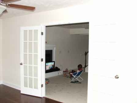
Room With a View
What am I 2?

IMG_7494 Brown-headed Cowbird - Molothrus ater
What a view

The view from Paul's place

Corbyn's Room...

YOUR AD HERE
Another straight-on view...

SMOKING ELEPHANT 2
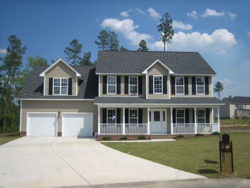
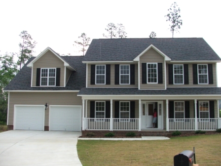
2008-OurHouse-Final

WHAT'S COOKIN'
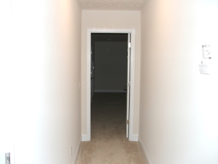
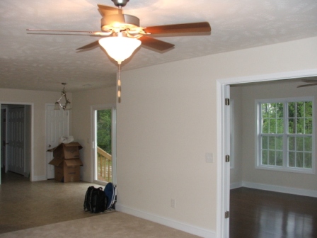
Upstairs...

Decorated Grave 2

SMOKING ELEPHANT
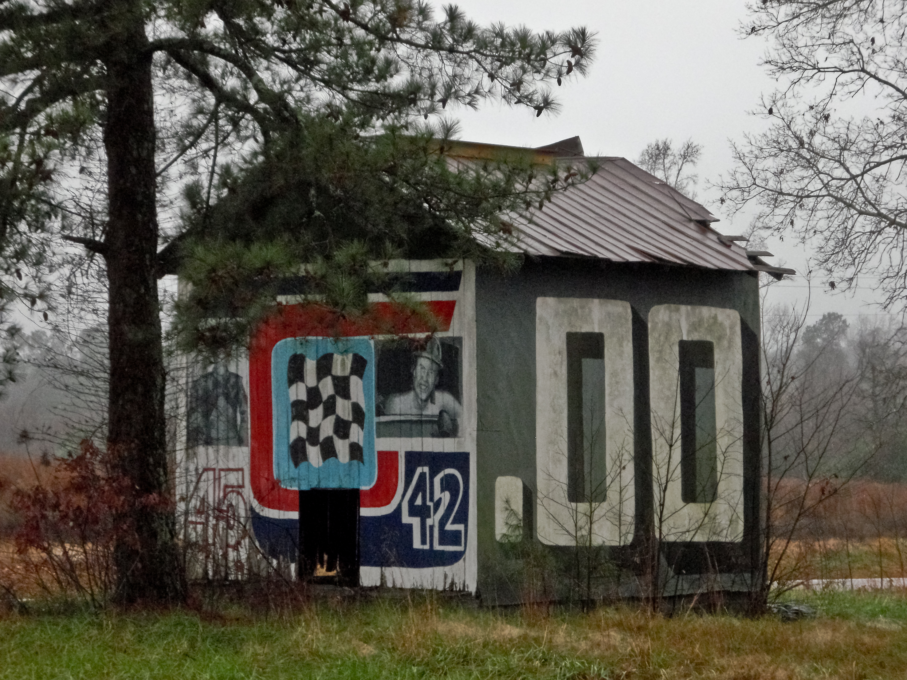
PETTY BARN

HAVE A SEAT
My office...
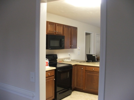
The kitchen...
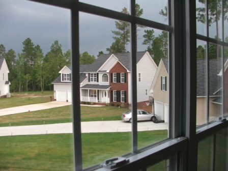
The Sunroom...
Downstairs...
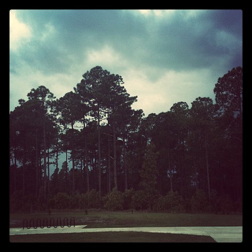
Carolina clouds

Road Trip - Raleigh, North Carolina

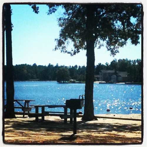
lake life

Christmas Sunrise

Just when I think that I shouldn't bother, you take me by the hand and lead me to quiet water ????
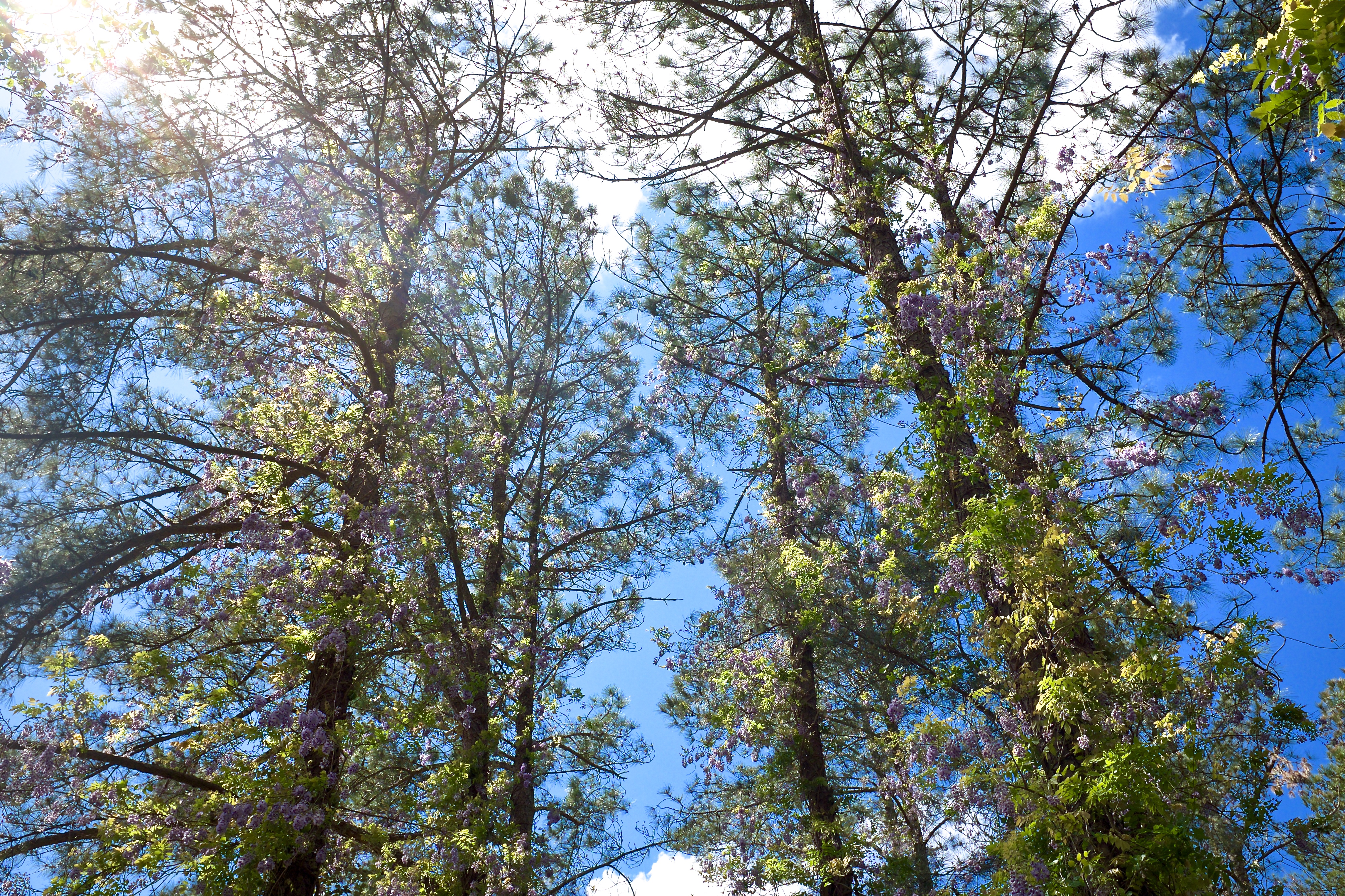
Fort bragg flowers
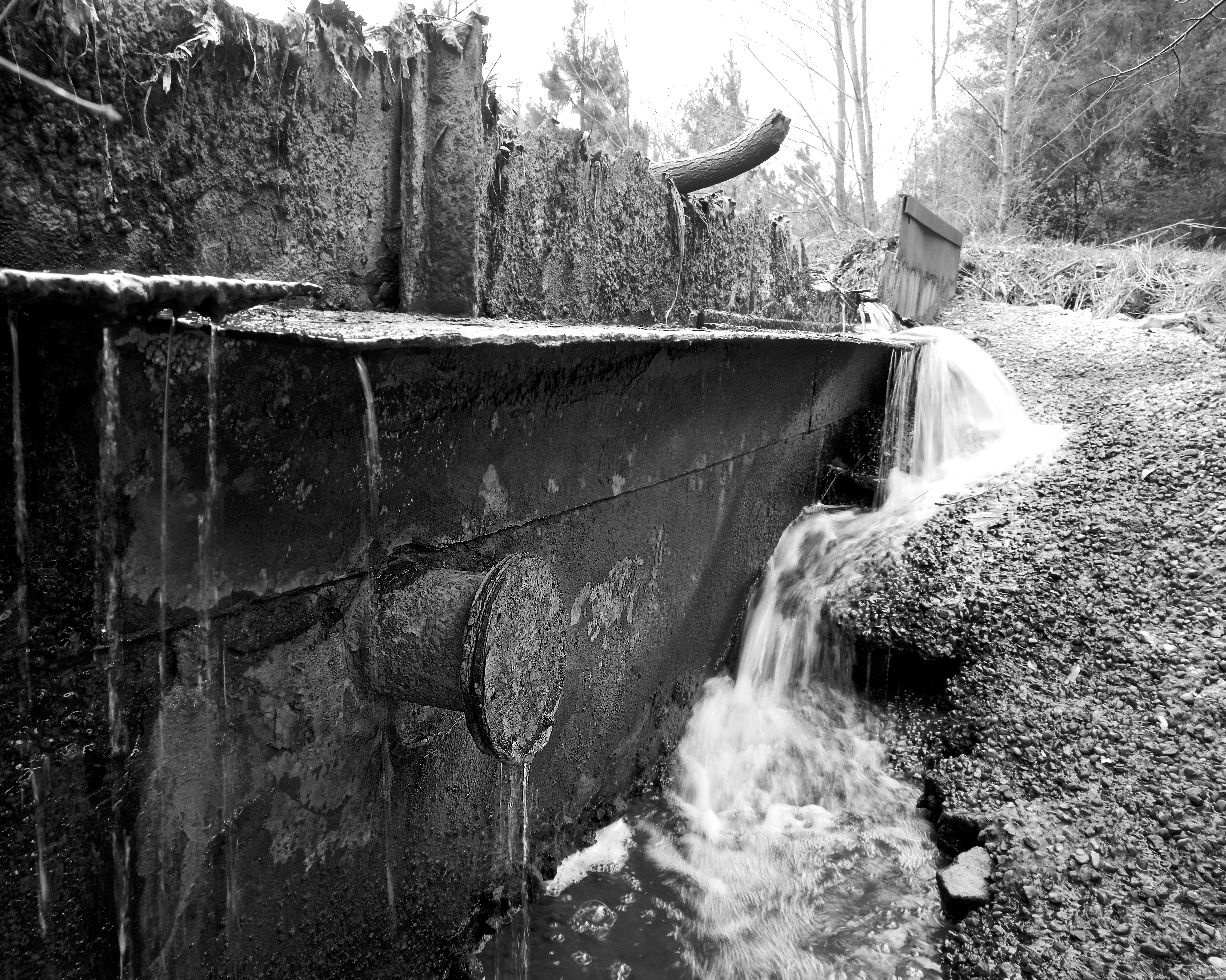
Breaking Dam
Topographic Map of McPherson Road, McPherson Rd, 10, Little River, NC, USA
Find elevation by address:

Places near McPherson Road, McPherson Rd, 10, Little River, NC, USA:
160 Tarp Ln
10, Little River
121 Creekview Dr
692 Cedar Point
534 Loblolly Dr
510 Gainsborough Ln
165 Cranes Cove
Woodlake Boulevard
339 Loblolly Dr
Johnsonville
Nc 27 W, Cameron, NC, USA
2307 Cranes Creek Rd
131 Spring Flowers Dr
Woodlake Country Club
Vass
1315 Youngs Rd
435 Causey Rd
Crystal Lake
Lakeview
Carthage St, Cameron, NC, USA
Recent Searches:
- Elevation of Corso Fratelli Cairoli, 35, Macerata MC, Italy
- Elevation of Tallevast Rd, Sarasota, FL, USA
- Elevation of 4th St E, Sonoma, CA, USA
- Elevation of Black Hollow Rd, Pennsdale, PA, USA
- Elevation of Oakland Ave, Williamsport, PA, USA
- Elevation of Pedrógão Grande, Portugal
- Elevation of Klee Dr, Martinsburg, WV, USA
- Elevation of Via Roma, Pieranica CR, Italy
- Elevation of Tavkvetili Mountain, Georgia
- Elevation of Hartfords Bluff Cir, Mt Pleasant, SC, USA