Elevation of McDaniel Rd, Blountstown, FL, USA
Location: United States > Florida > Calhoun County > Blountstown >
Longitude: -85.065892
Latitude: 30.356553
Elevation: 14m / 46feet
Barometric Pressure: 101KPa
Elevation Map:
Satellite Map:
Related Photos:

bug's eye view with a bokeh perspective

The Garden of Eden Trail
SR 71 at the TNC Preserve

Alum Bluff overlook, Garden of Eden Trail

once upon a saturday morning

morning dew

gorgeous green thursday
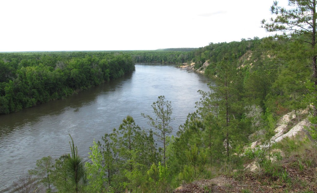
Apalachicola River

return of the itty bitty bokeh balls
Camel Lake-3
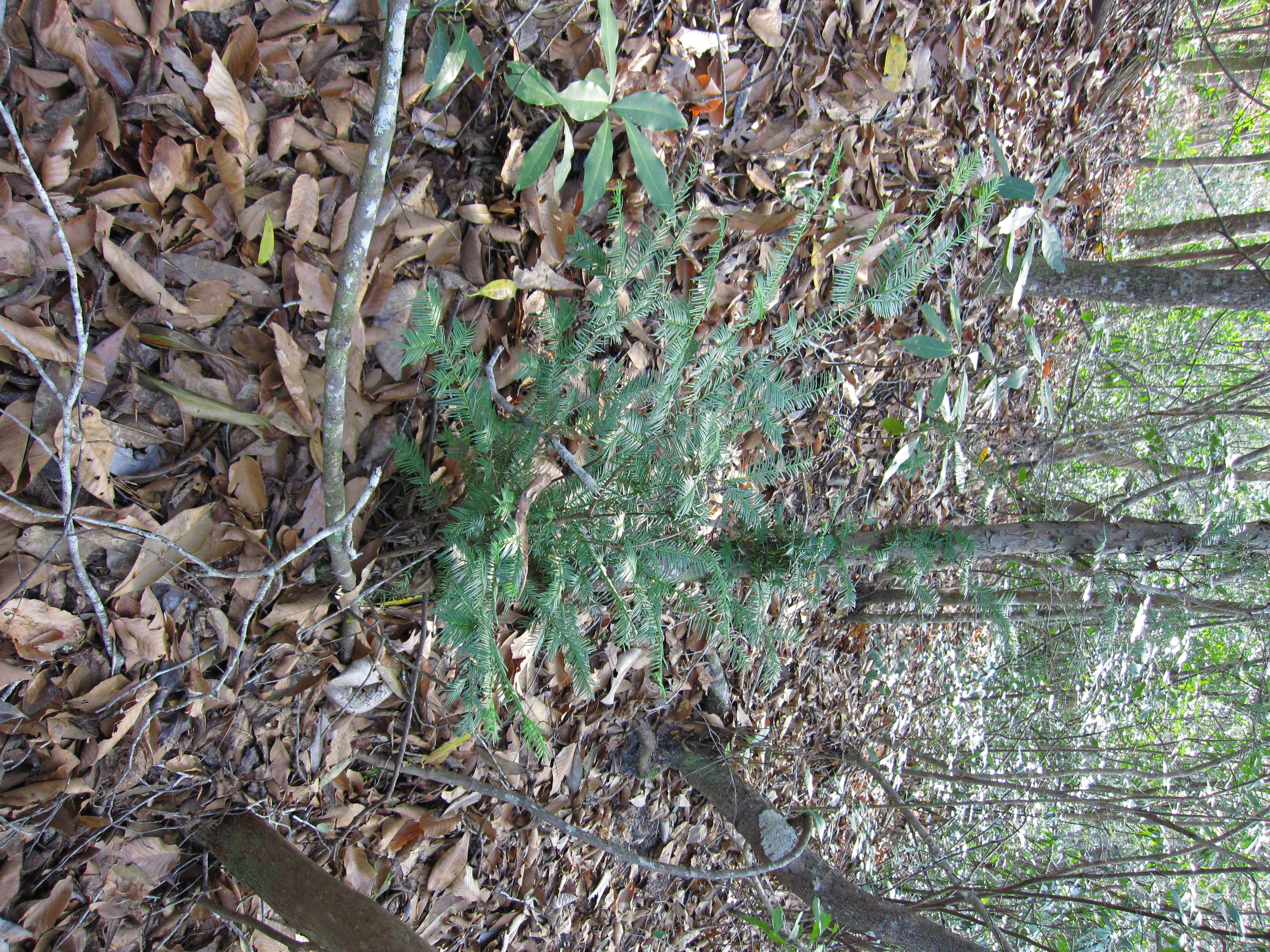
Florida Yew
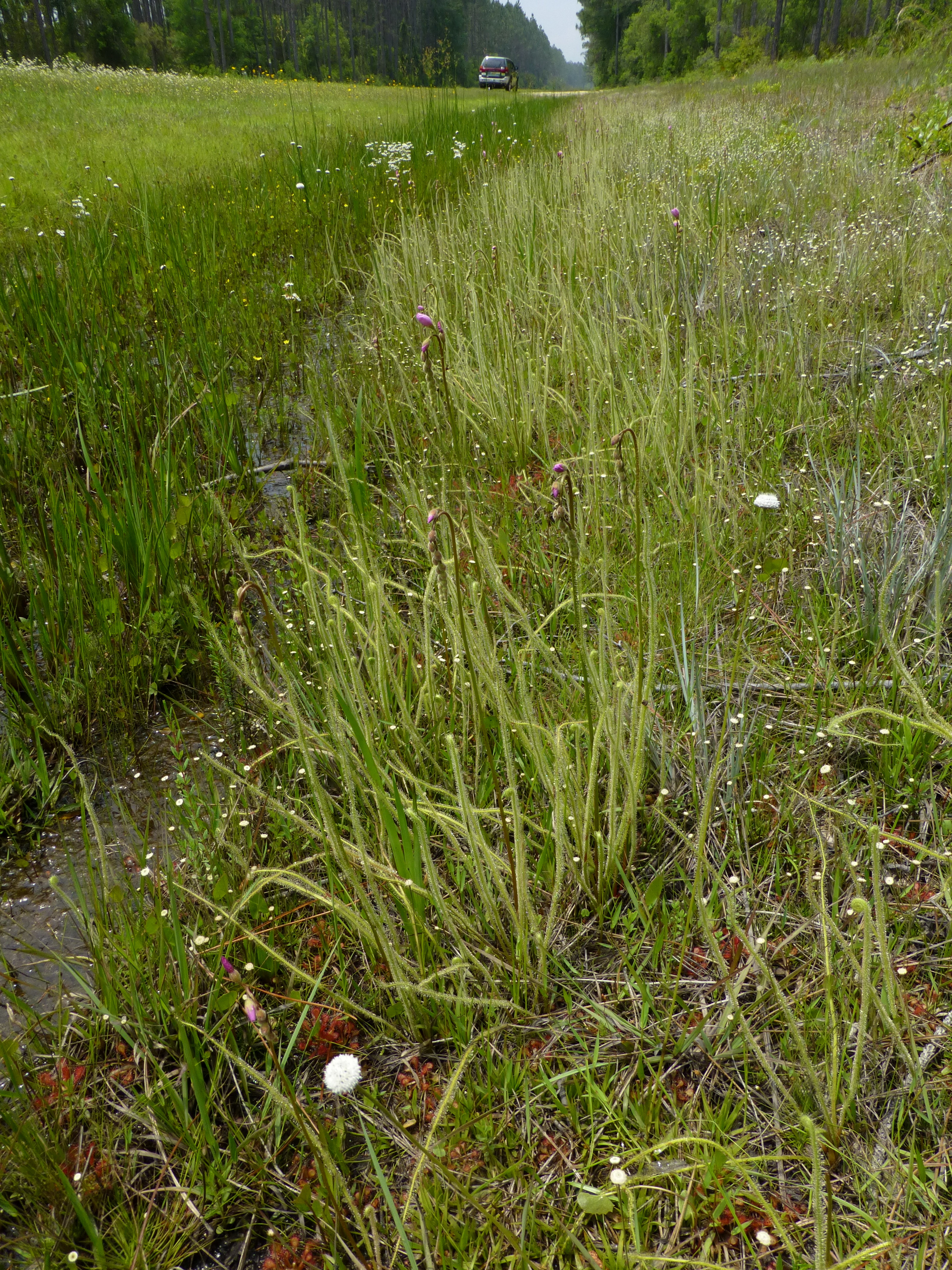
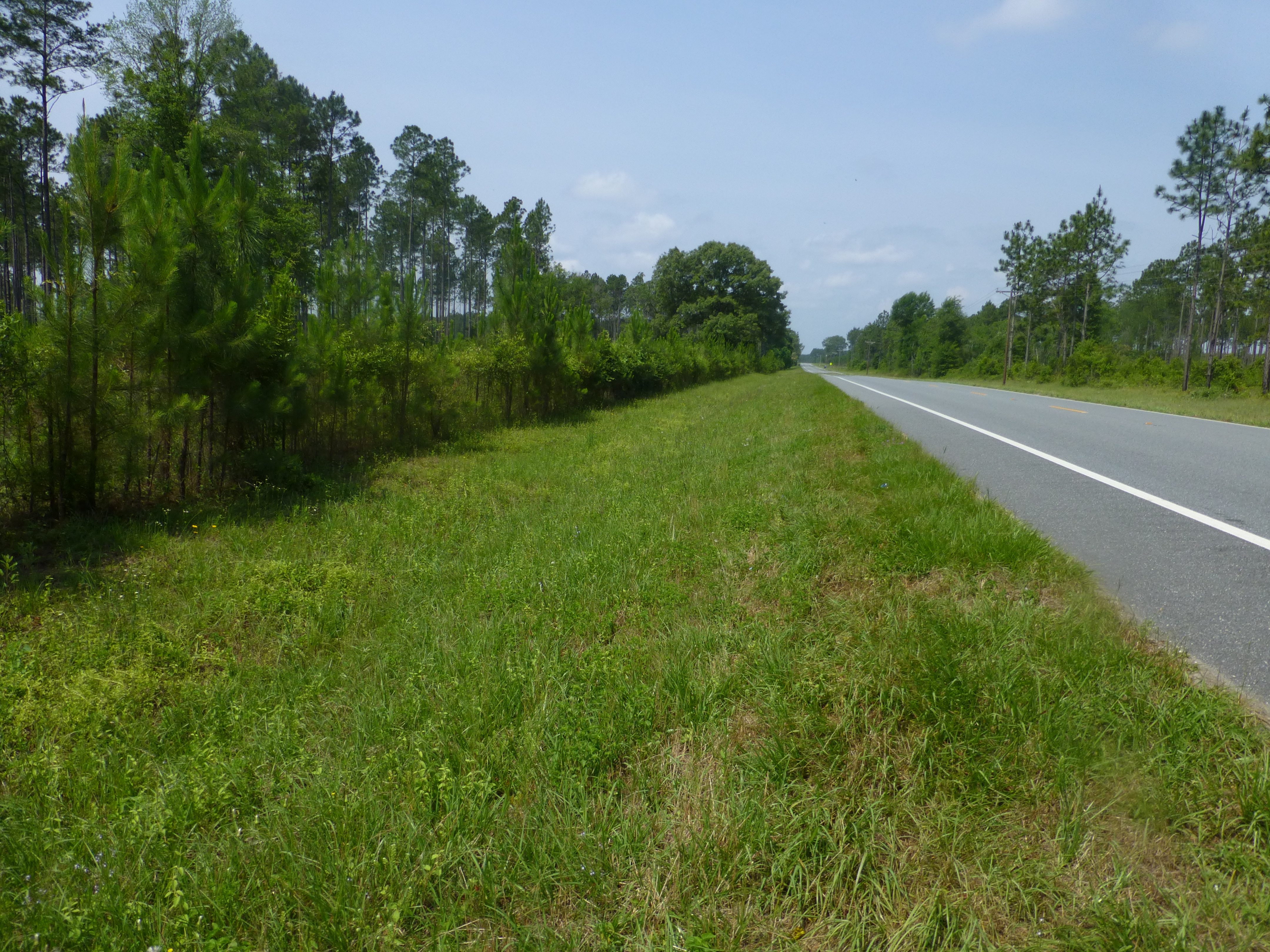
Roadside on CR 67W, site 12

Gholson's blazing star
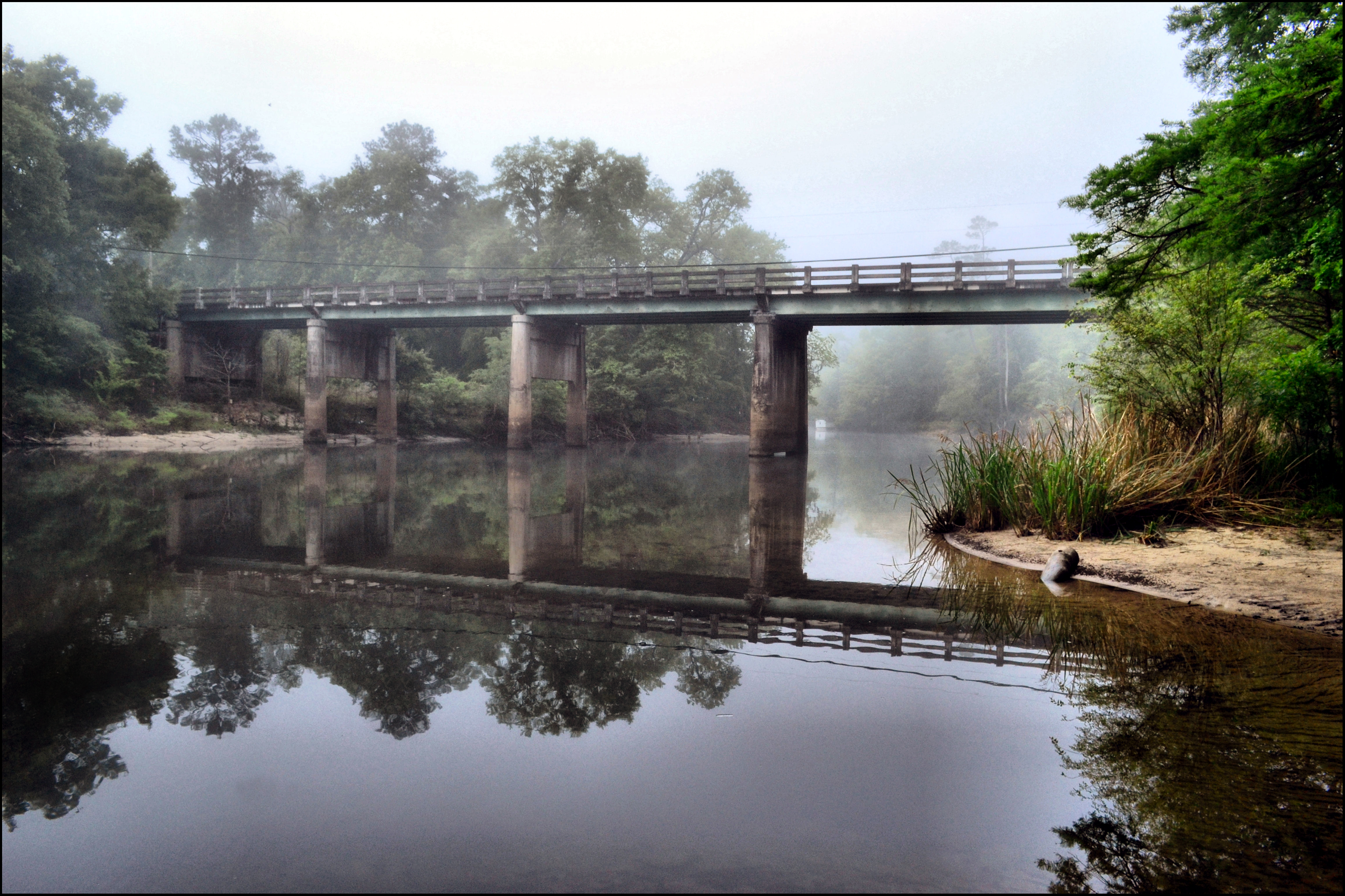
MORNING ON THE CHIPOLA RIVER
Camel Lake-2

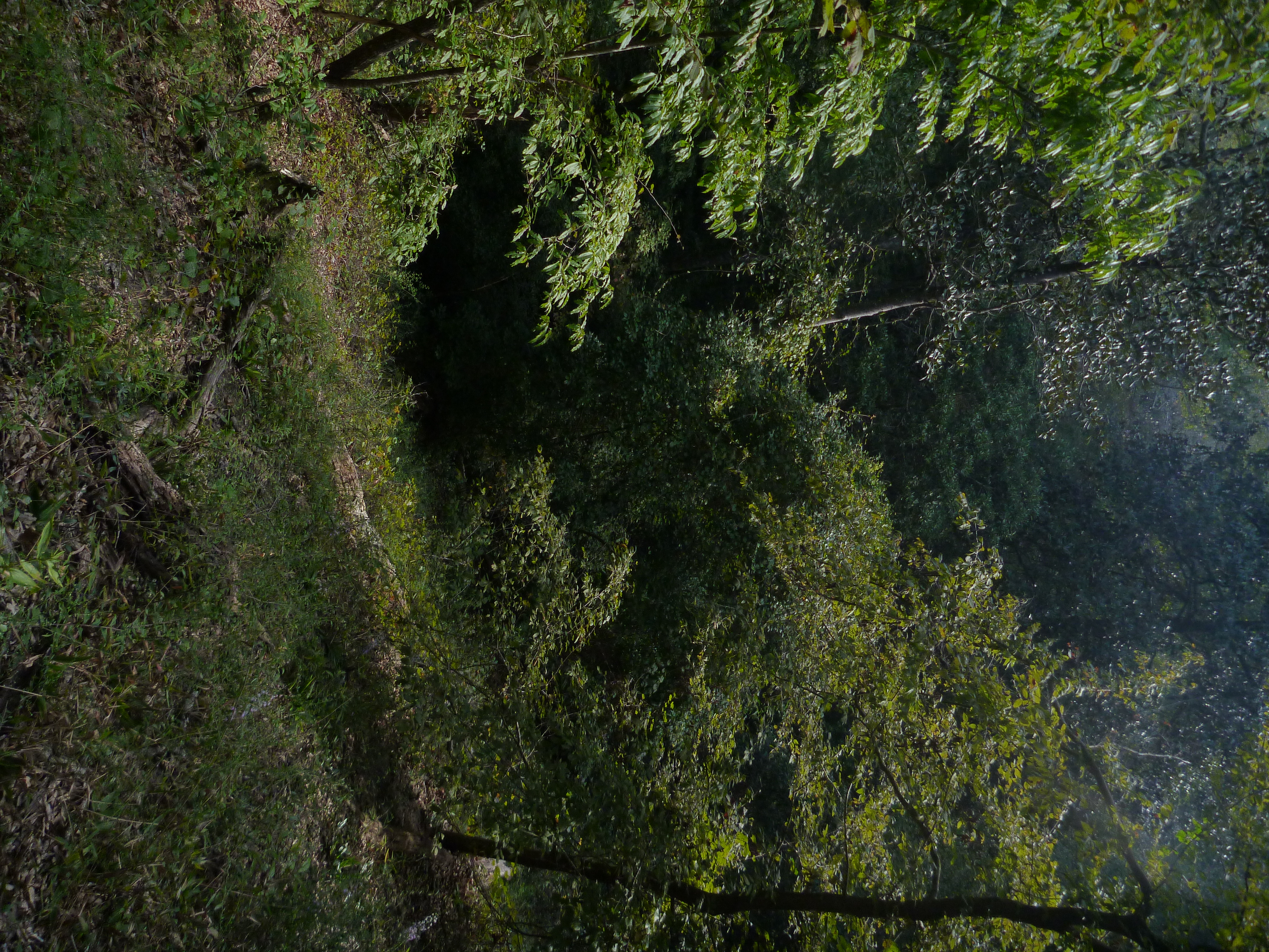
Kelley Branch, Garden of Eden Trail
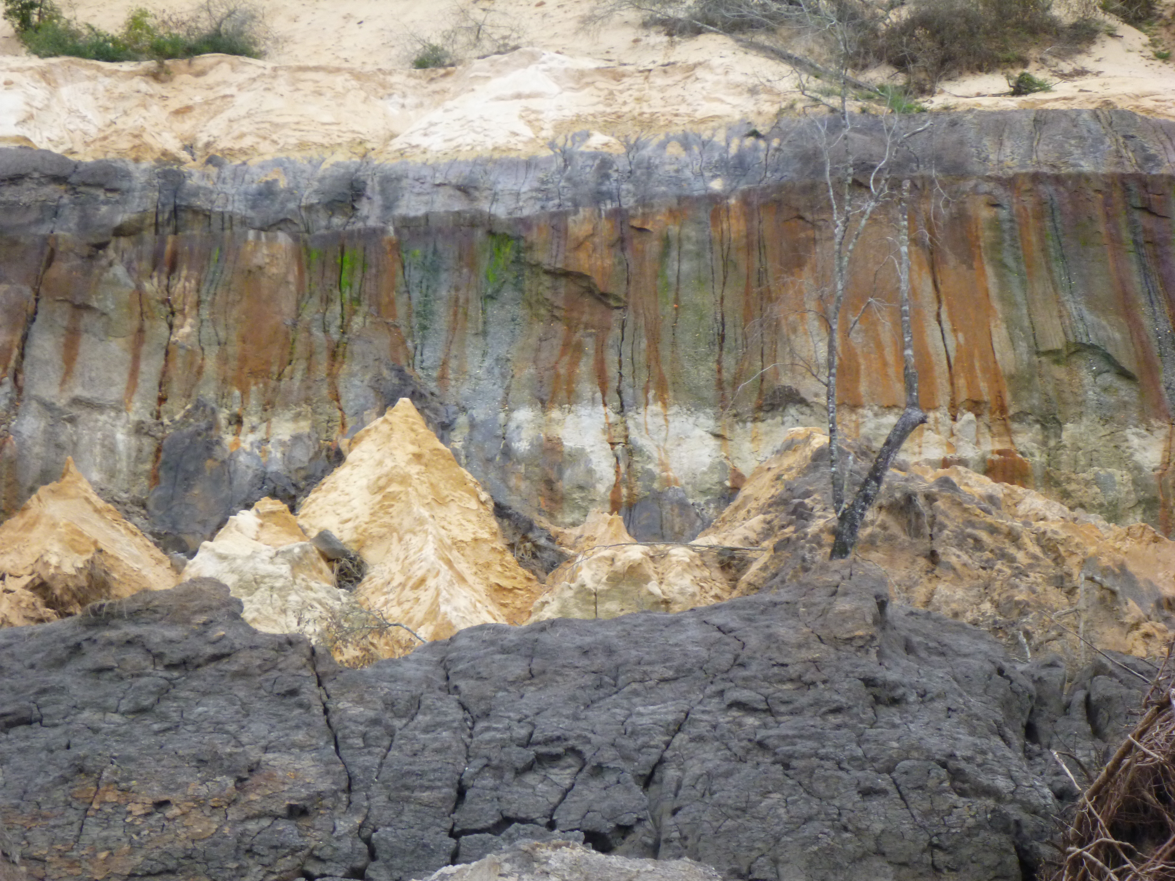
Alum Bluff landslide scar
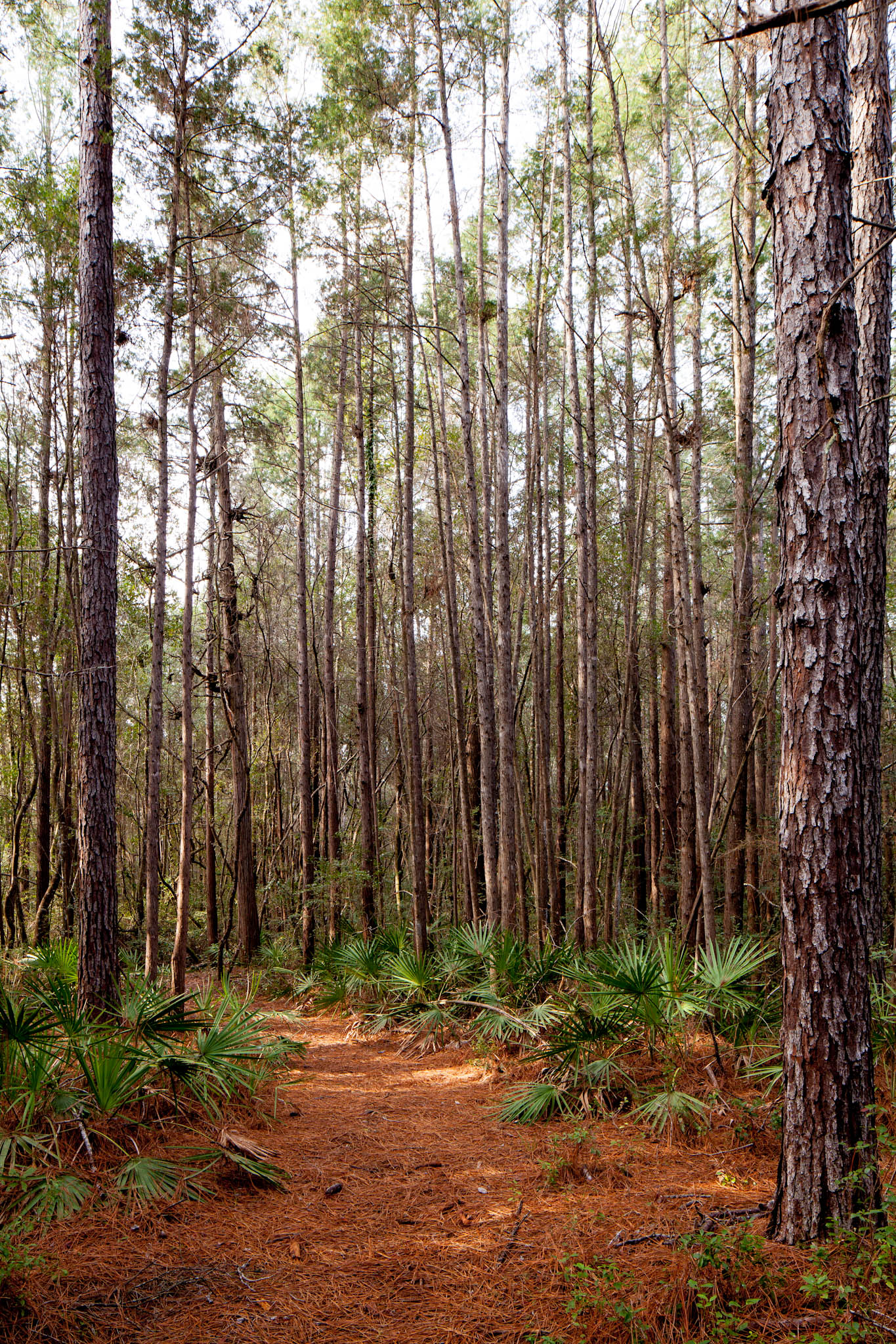
Steephead Ravine on the Garden of Eden Trail
Estiffinulga Bluff
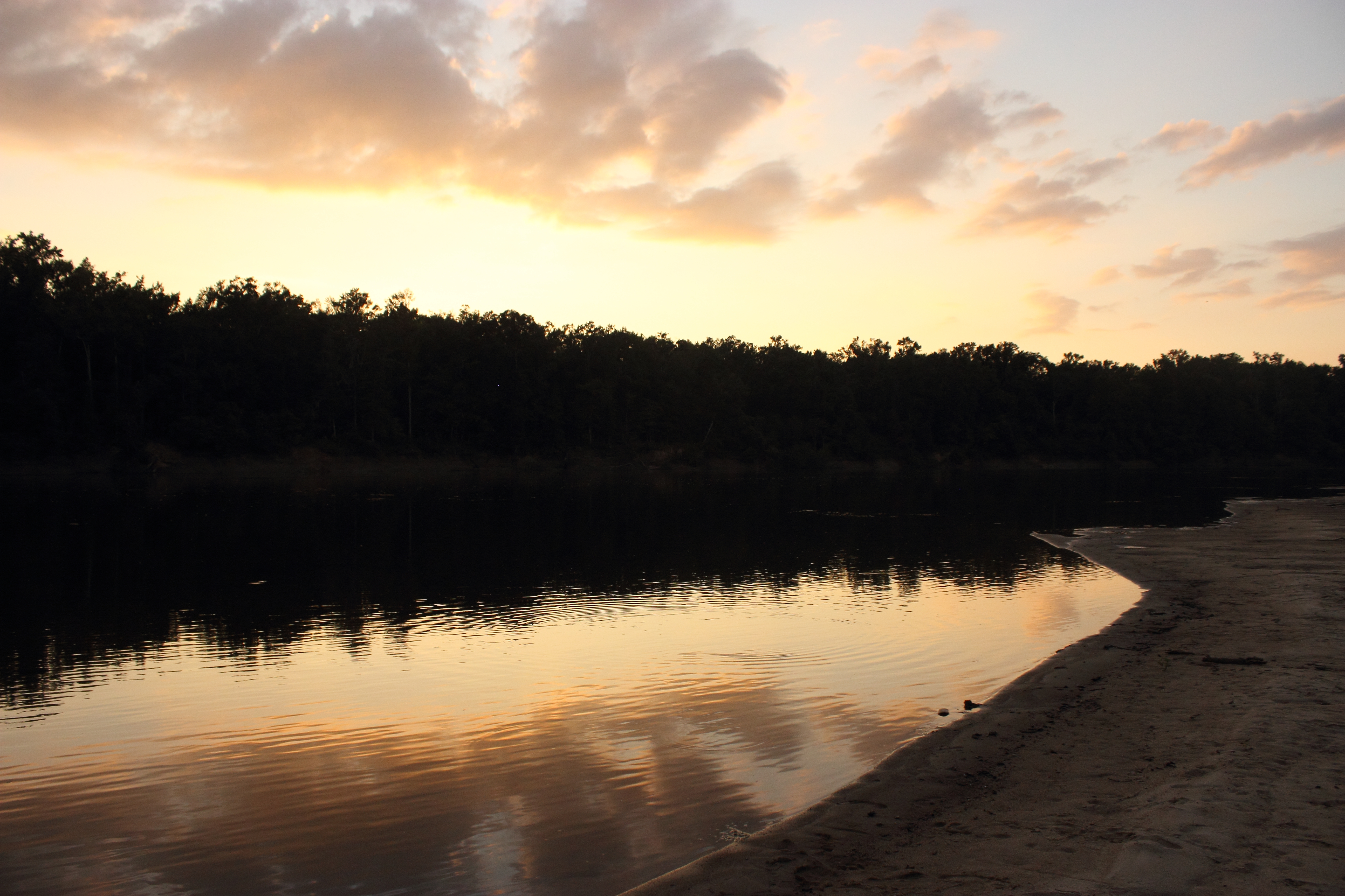
Sunset on the Apalachicola River
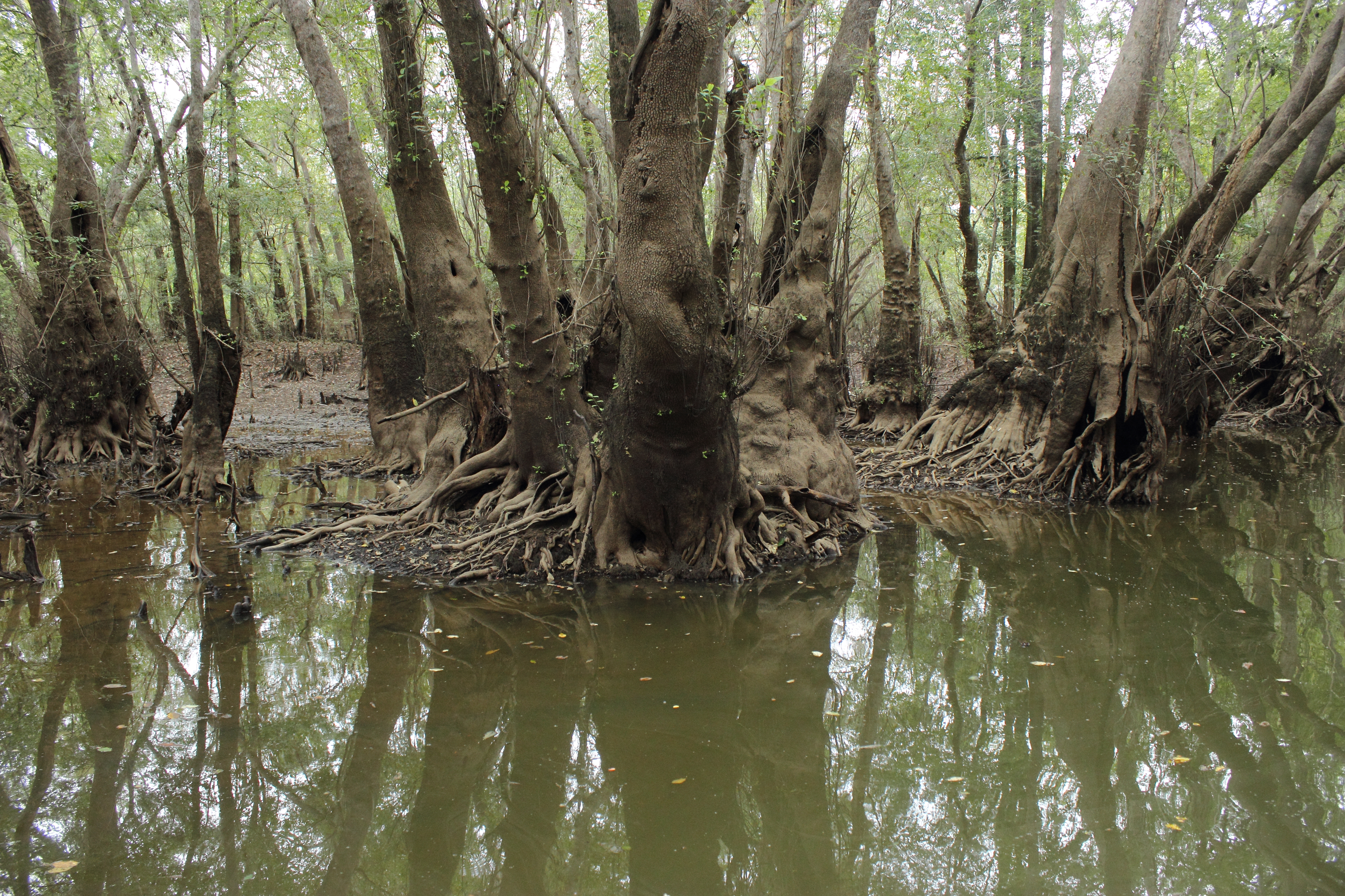
Ogeechee Tupelo in Sutton Lake
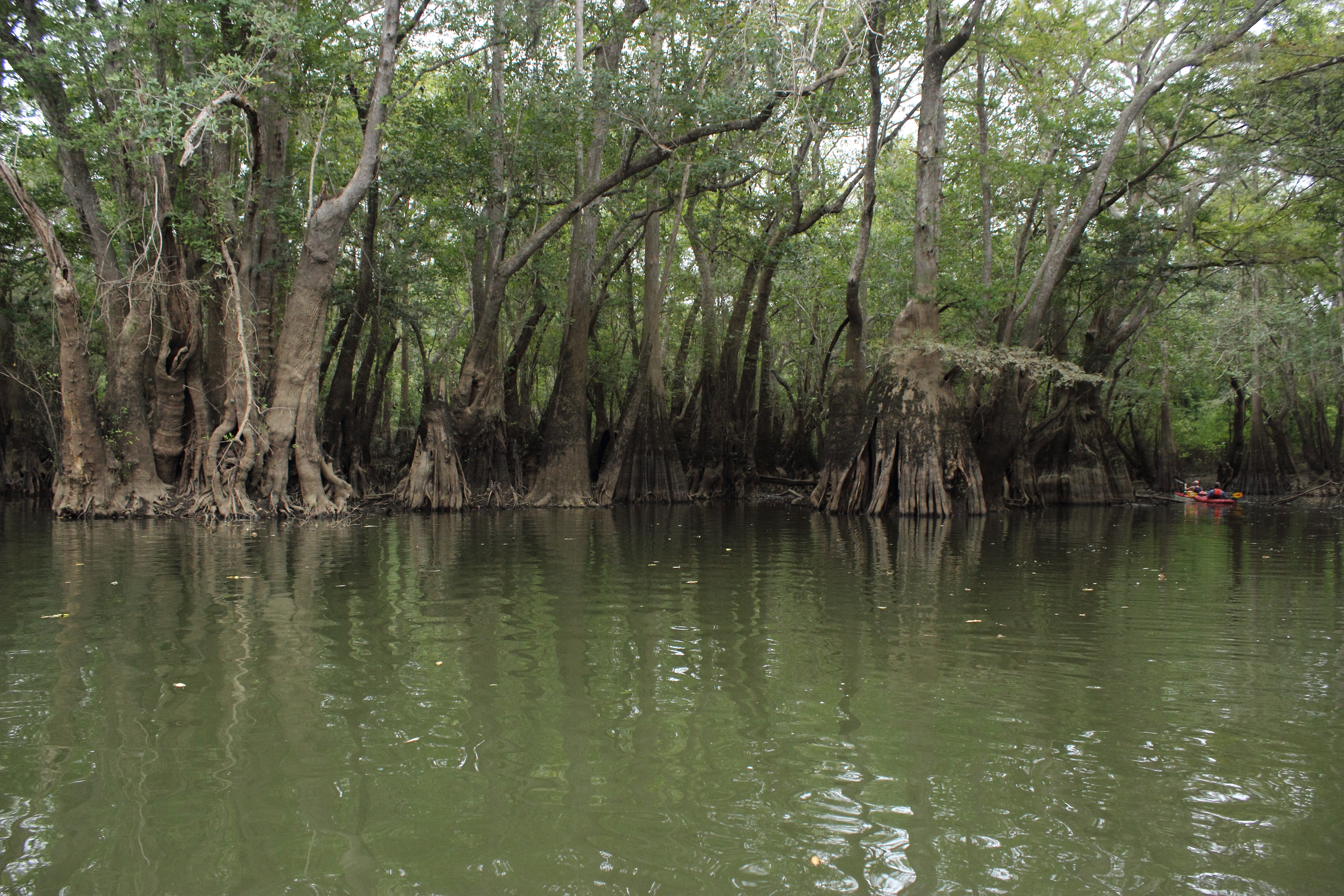
Sutton Lake
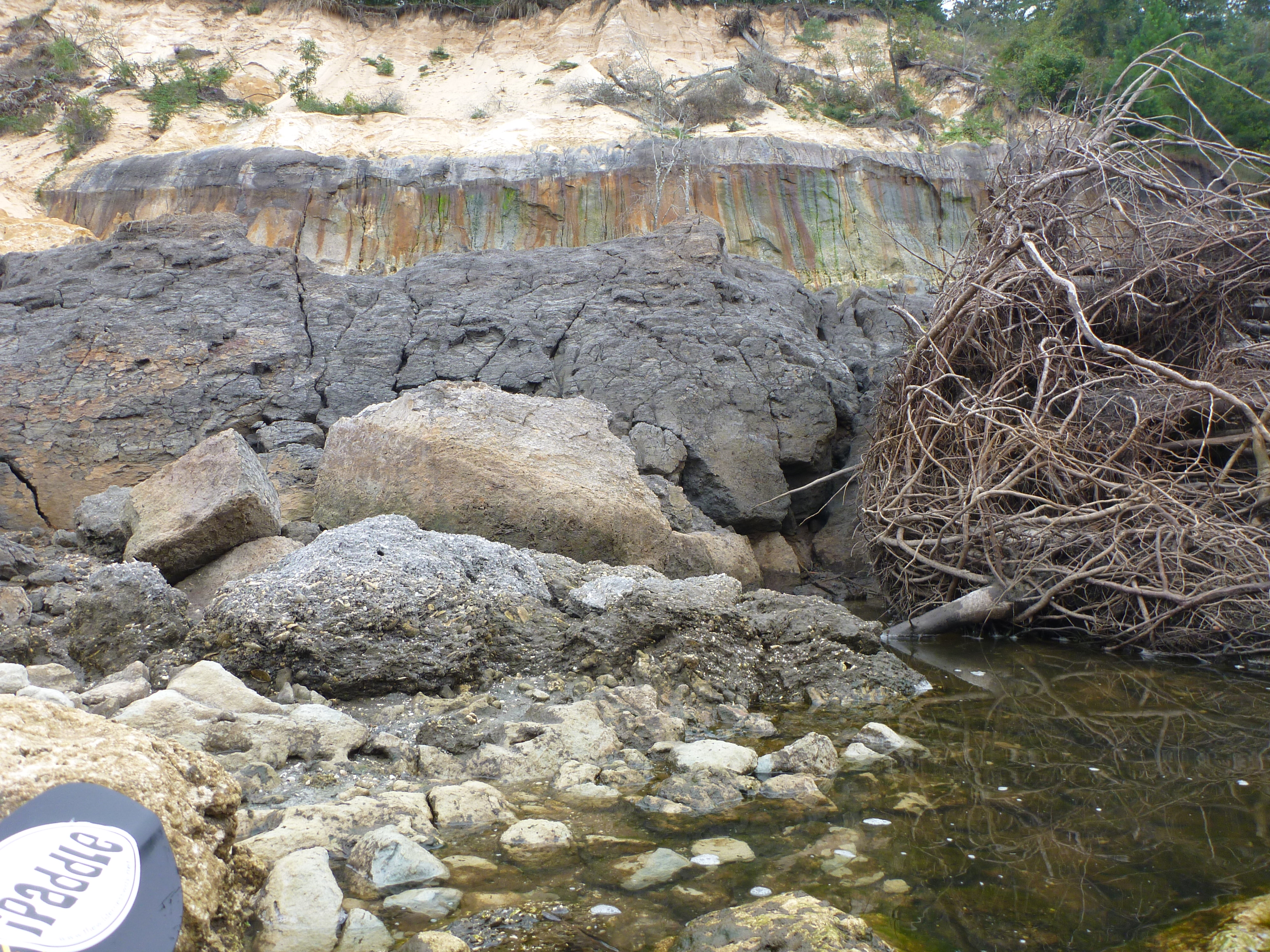
Alum Bluff landslide debris

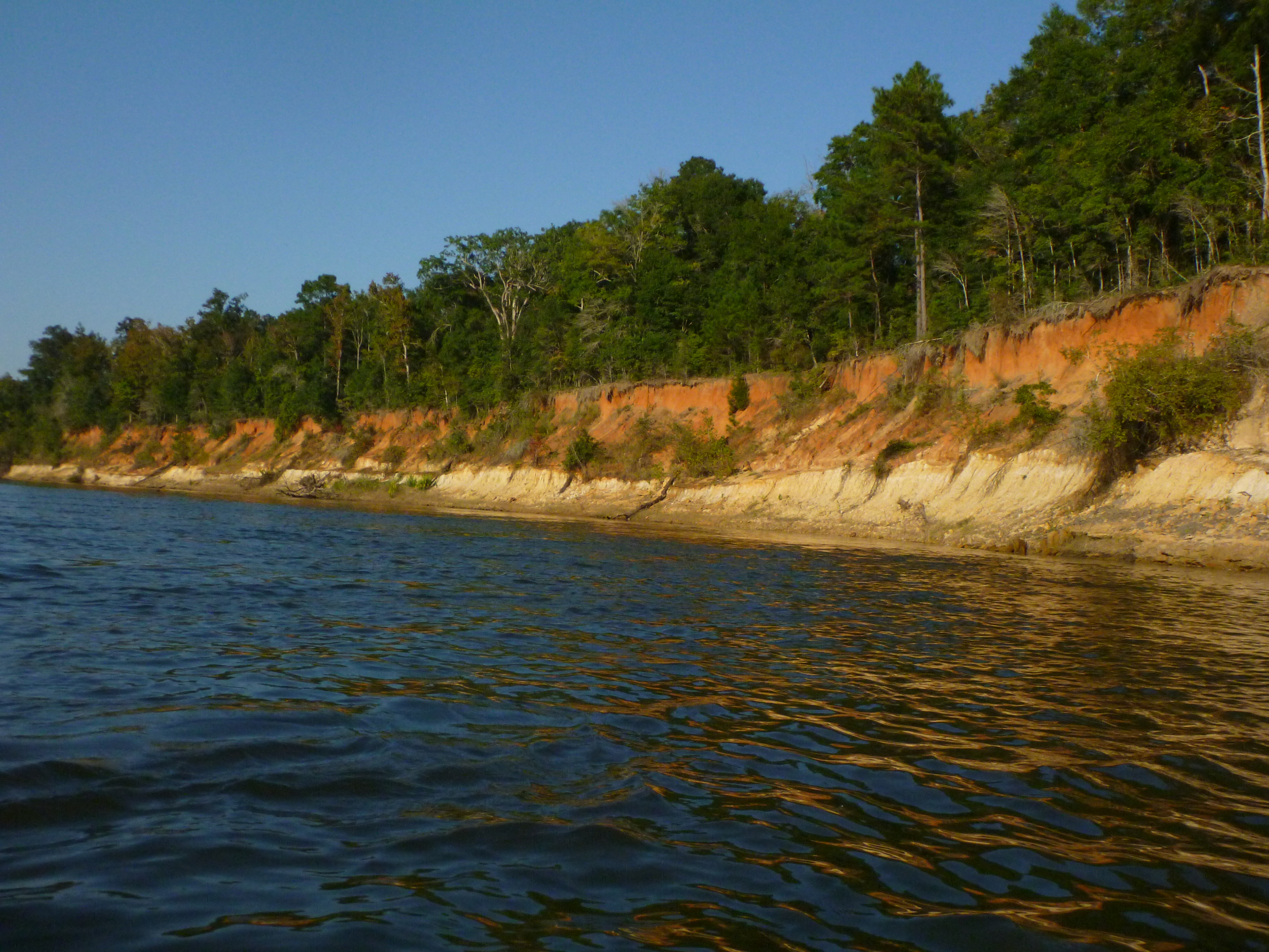
Alum Bluff and Sand Bar
Topographic Map of McDaniel Rd, Blountstown, FL, USA
Find elevation by address:

Places near McDaniel Rd, Blountstown, FL, USA:
FL-71, Blountstown, FL, USA
Co Rd, Bristol, FL, USA
16435 Fl-71
Co Rd, Blountstown, FL, USA
FL-71, Blountstown, FL, USA
17341 Nw Green Acres Rd
County Rd, Bristol, FL, USA
Co Rd, Bristol, FL, USA
Blountstown
Co Rd, Bristol, FL, USA
Camel Lake Campground
Bristol
Cedar St, Blountstown, FL, USA
Calhoun County
Garden Of Eden Trail
12527 Old Post Rd
Co Rd, Bristol, FL, USA
Clarksville
FL-73, Clarksville, FL, USA
21814 Fl-71
Recent Searches:
- Elevation of Corso Fratelli Cairoli, 35, Macerata MC, Italy
- Elevation of Tallevast Rd, Sarasota, FL, USA
- Elevation of 4th St E, Sonoma, CA, USA
- Elevation of Black Hollow Rd, Pennsdale, PA, USA
- Elevation of Oakland Ave, Williamsport, PA, USA
- Elevation of Pedrógão Grande, Portugal
- Elevation of Klee Dr, Martinsburg, WV, USA
- Elevation of Via Roma, Pieranica CR, Italy
- Elevation of Tavkvetili Mountain, Georgia
- Elevation of Hartfords Bluff Cir, Mt Pleasant, SC, USA