Elevation of McCormmach Rd, Pendleton, OR, USA
Location: United States > Oregon > Umatilla County >
Longitude: -118.74472
Latitude: 45.7288766
Elevation: 465m / 1526feet
Barometric Pressure: 96KPa
Elevation Map:
Satellite Map:
Related Photos:
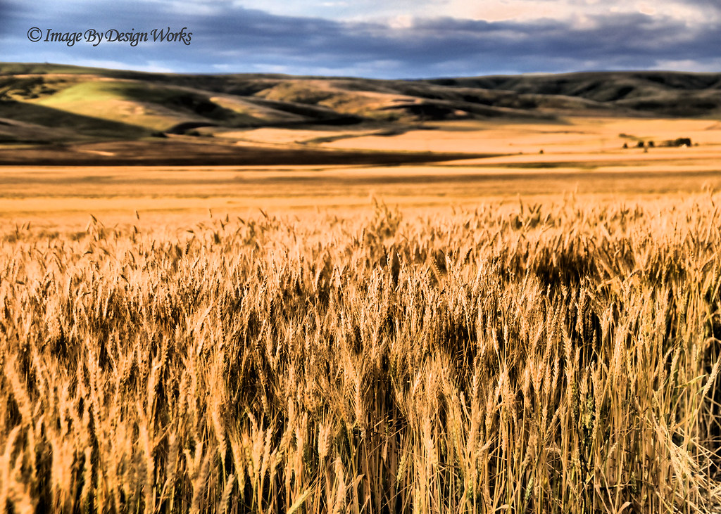
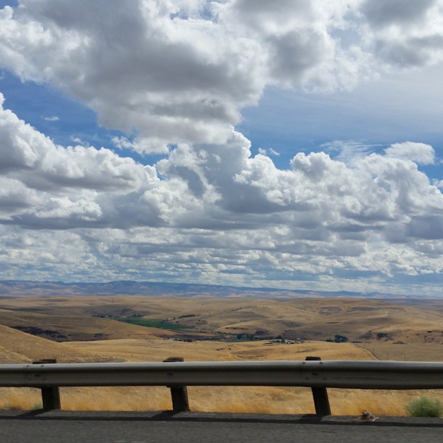
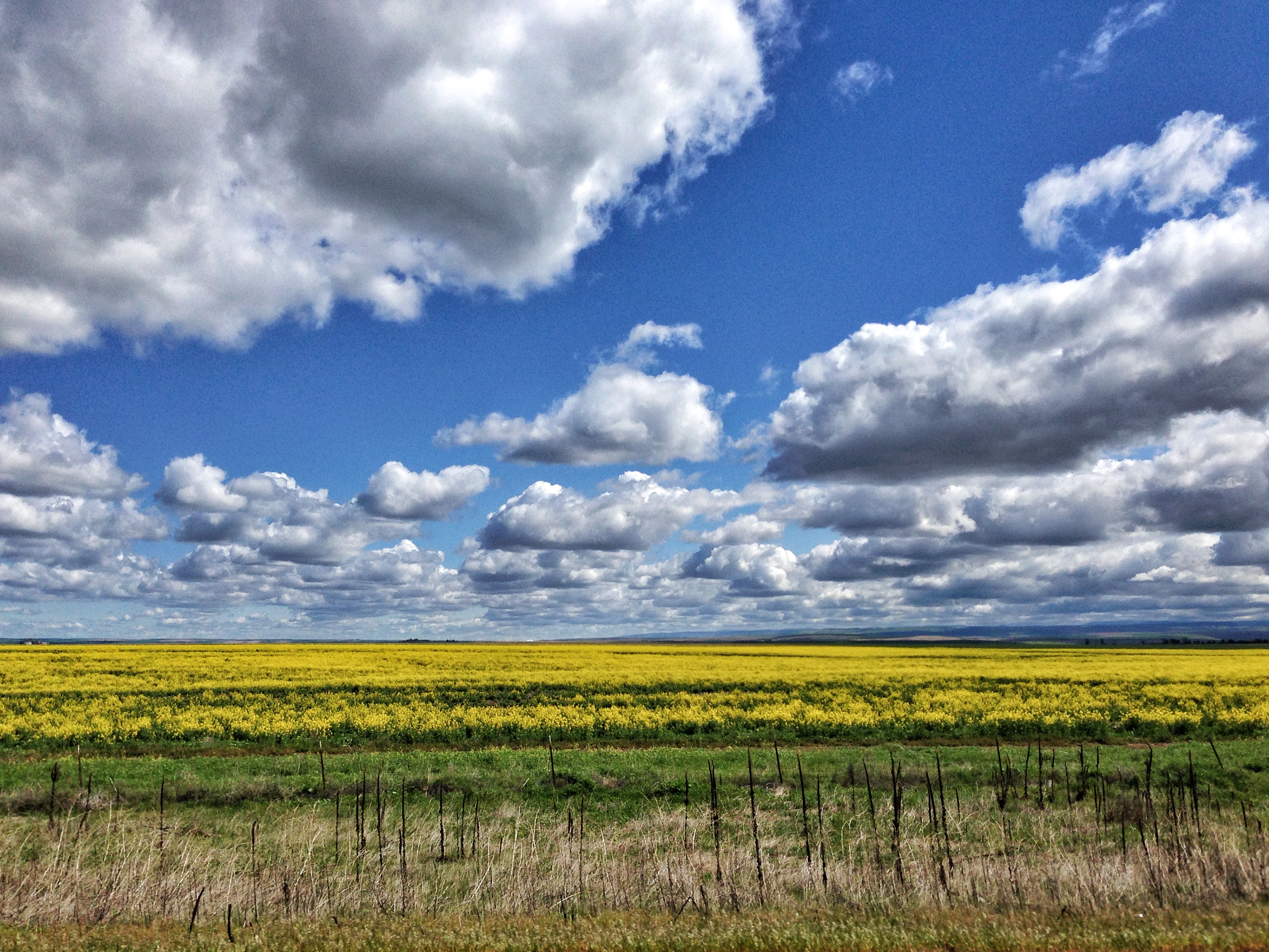
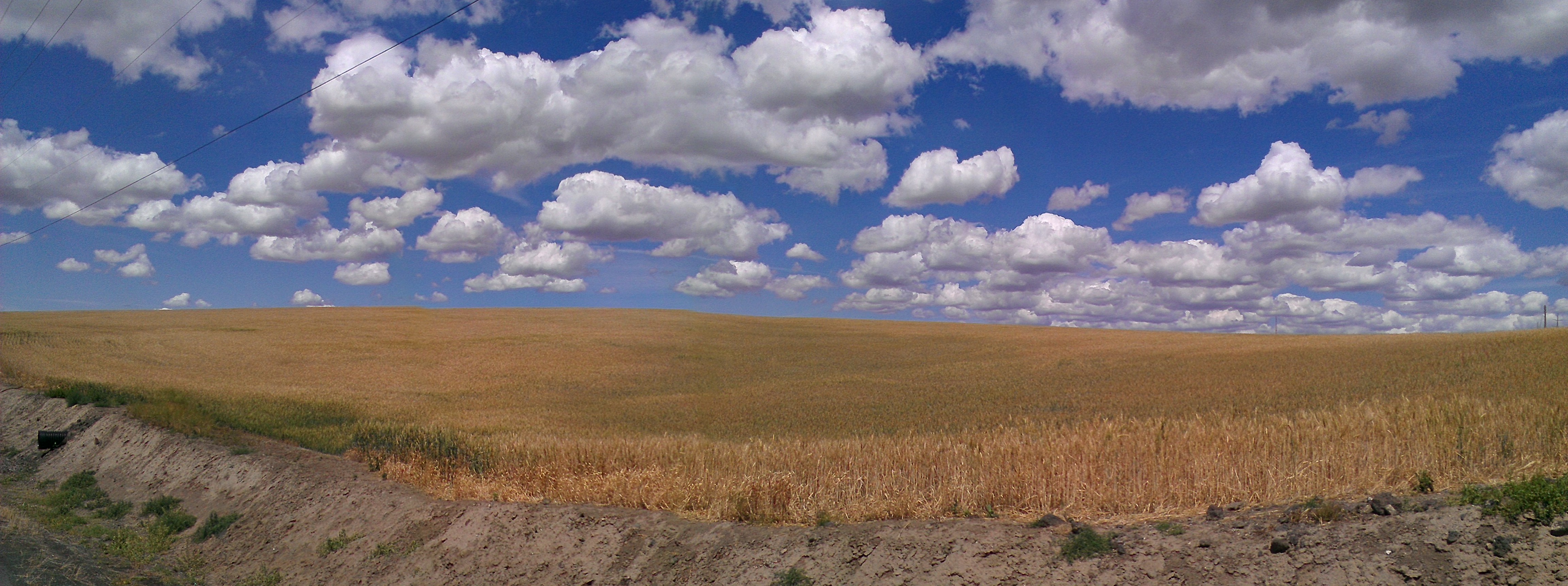
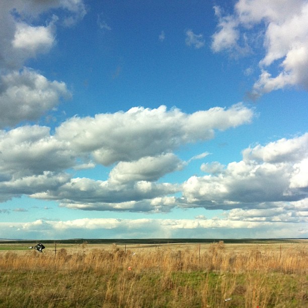
WHEAT FIELDS ~ PENDLETON, OREGON

Nineteen Hundred Something

Nineteen Hundred Something II
'Nother view.

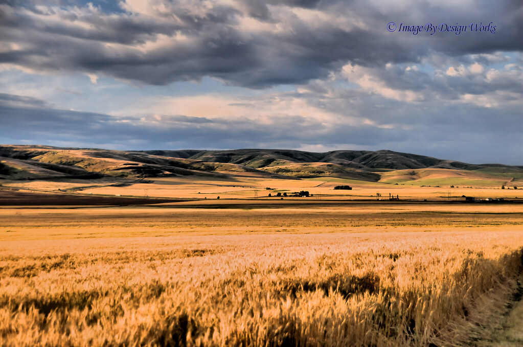
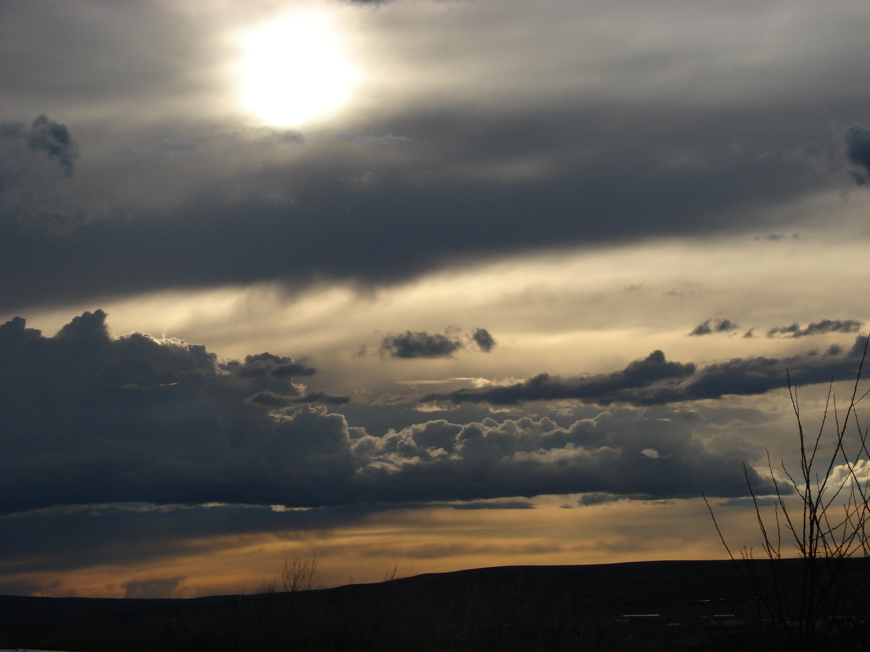
SERENE SUNSET ~ PENDLETON, OREGON
THE REAL WEST ~ PENDLETON OREGON
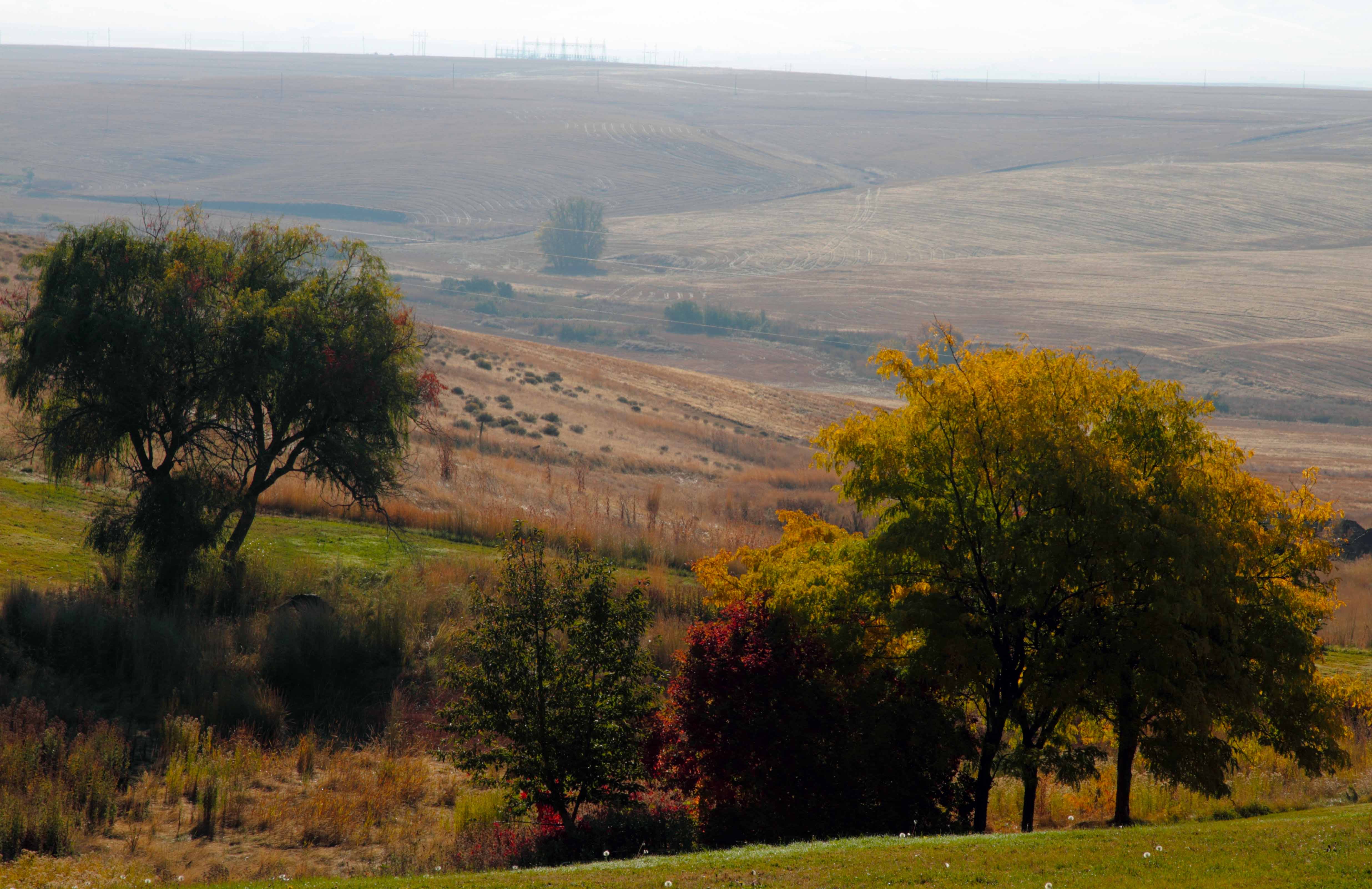
The field

SUNSET ON THE GREEN ~ PENDLETON, OREGON

Teepee & the sun
Not a bad view! #roadtripping #exploregon #rsa_sky #instapdx #igers_portland
3/31/10
Oregon Trip (Oct 2011)_Pendleton 66

Let'er Buck Cowboy
Oregon Trip (Oct 2011)_Pendleton OR 64

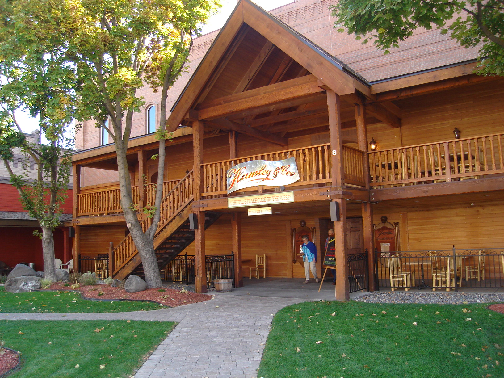
Roosters restaurant
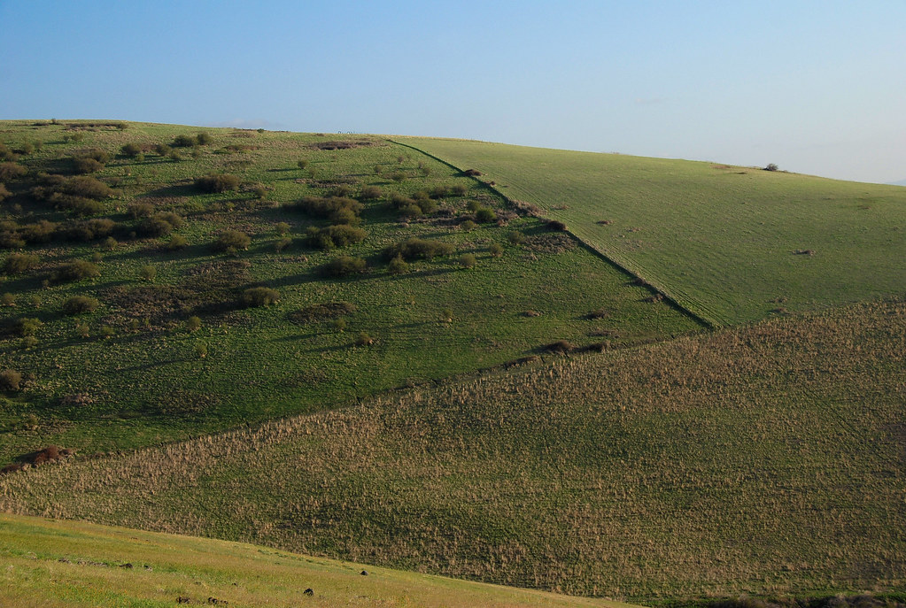
Geometry on Cabbage Hill
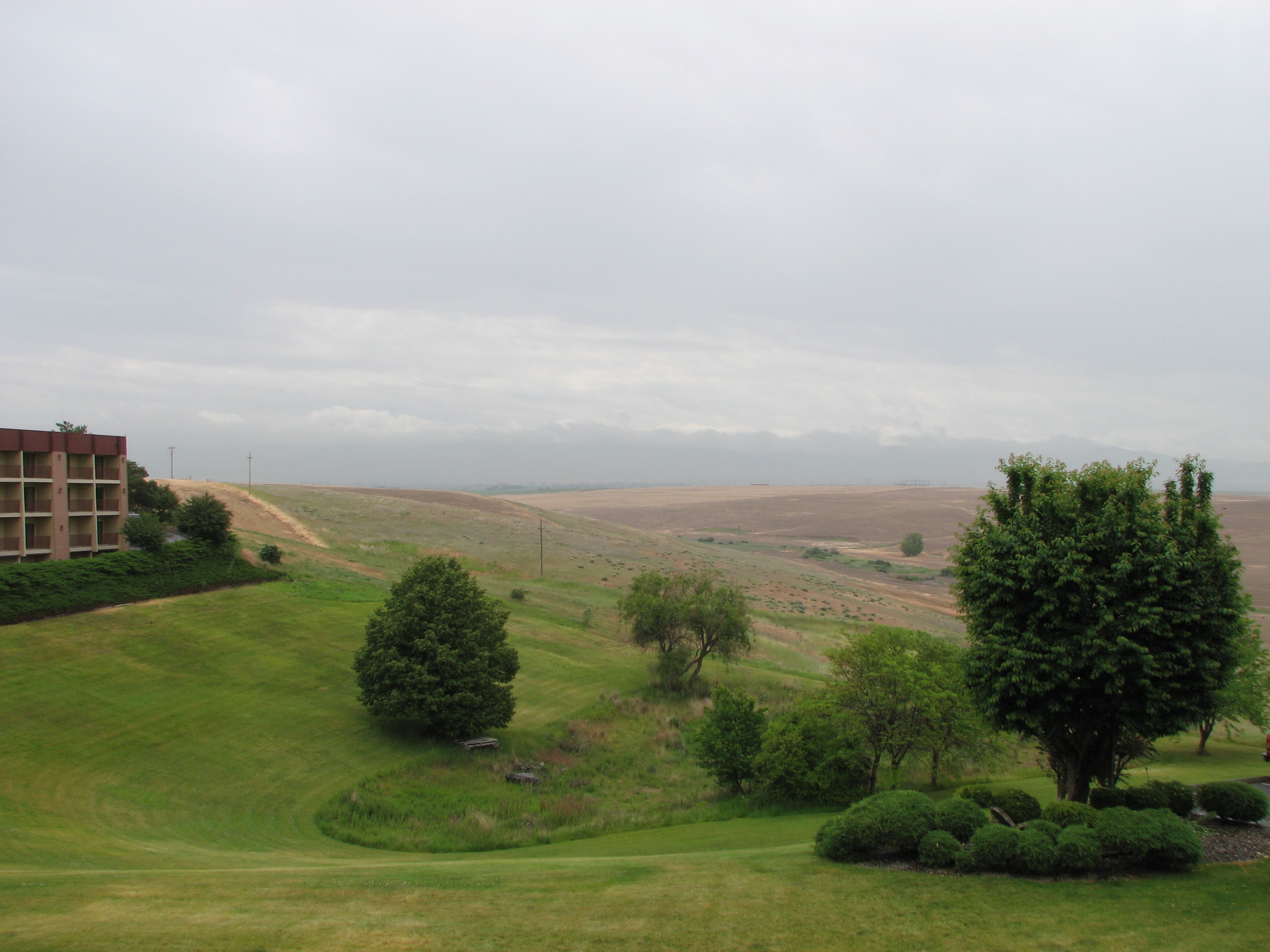
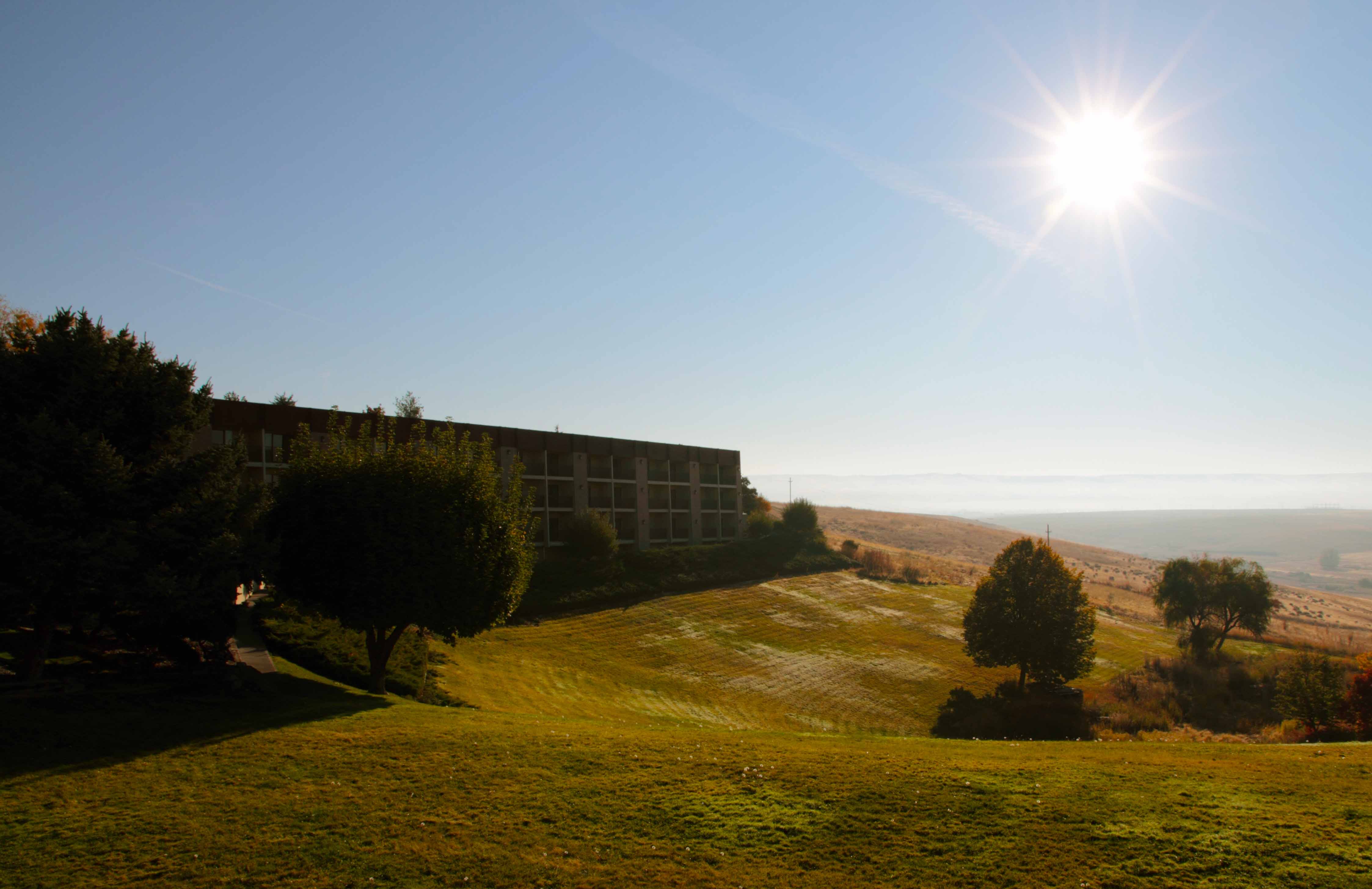
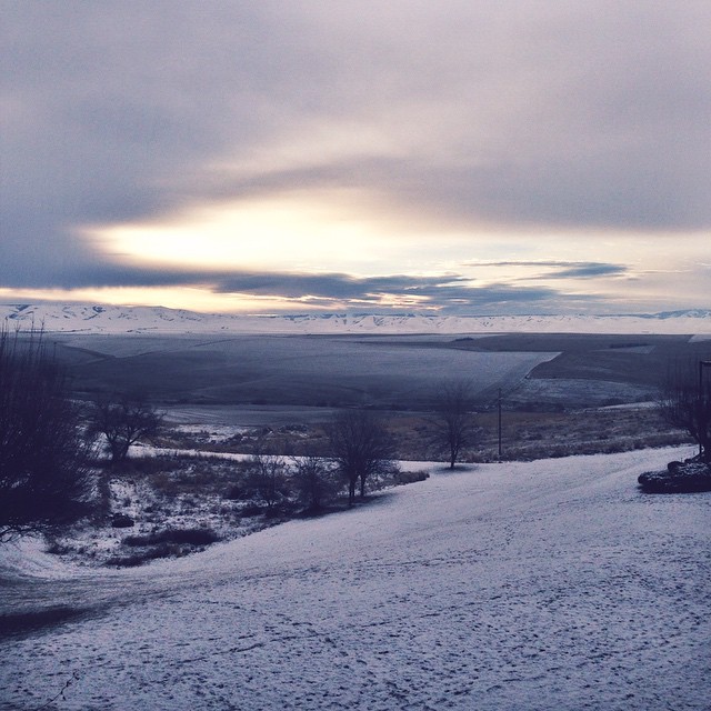
View from hotel

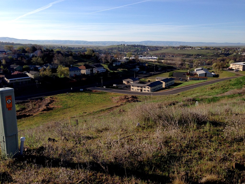
East-View
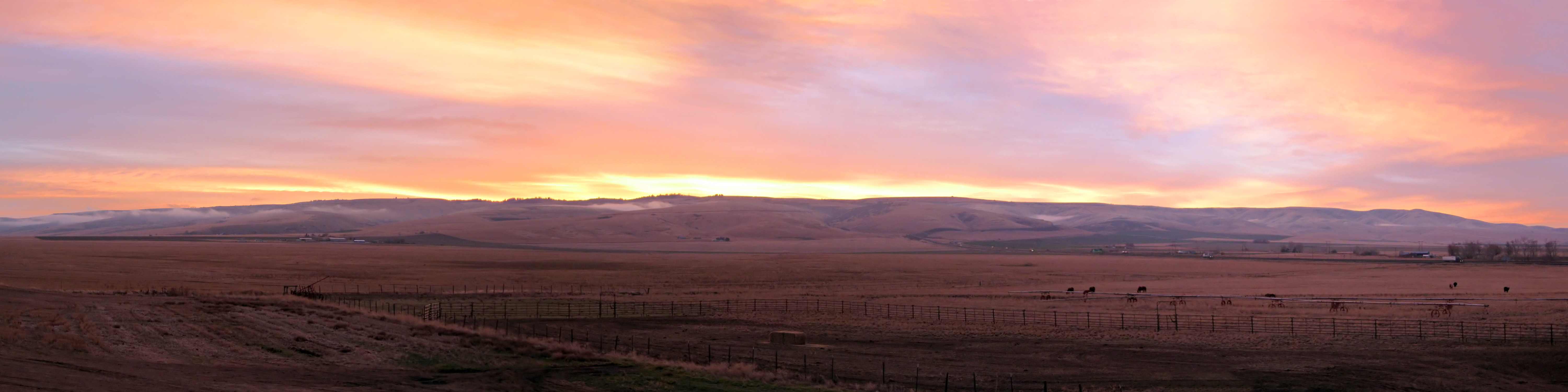
Blue Mountain sunrise

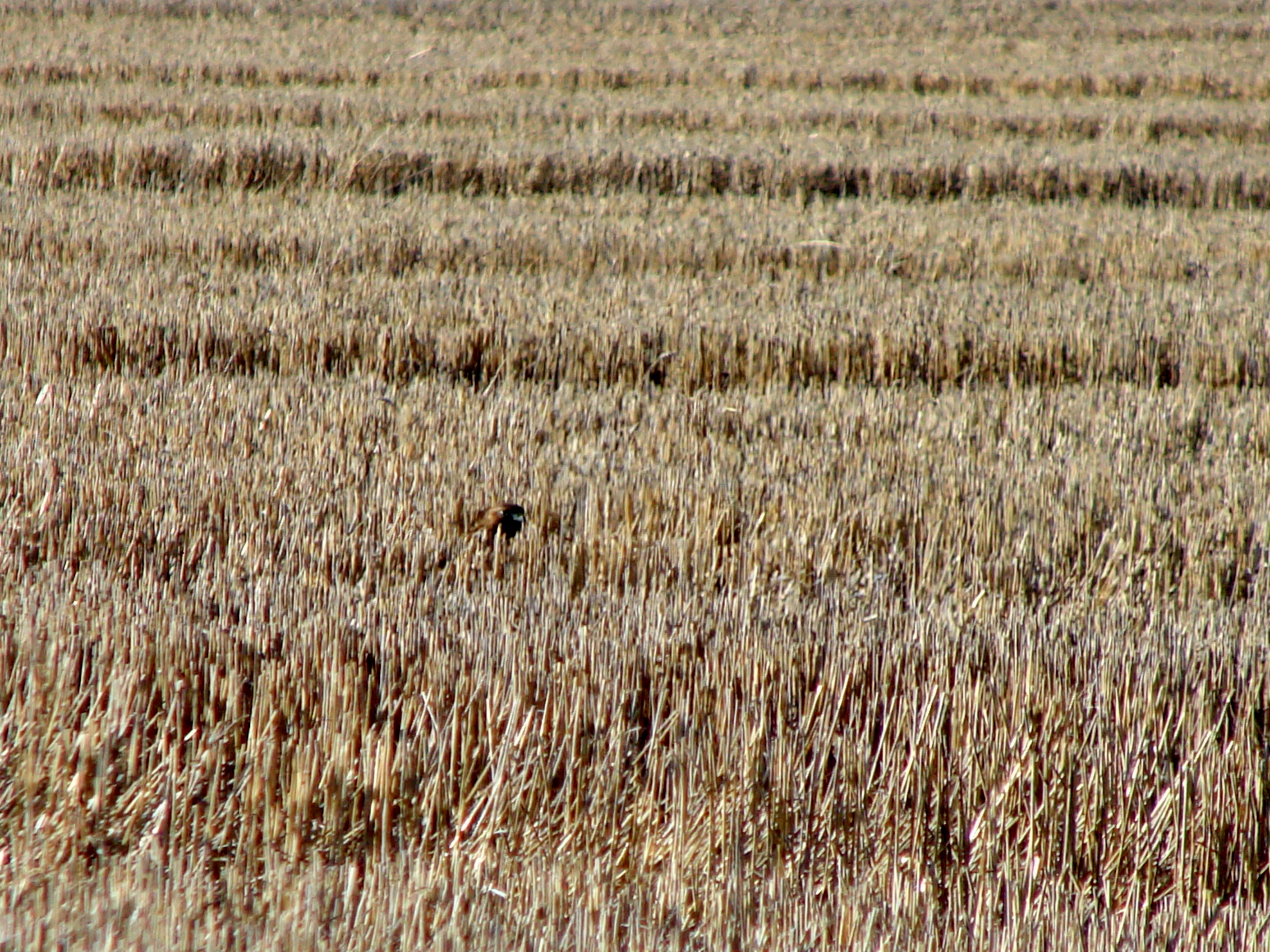
Combine Harvester

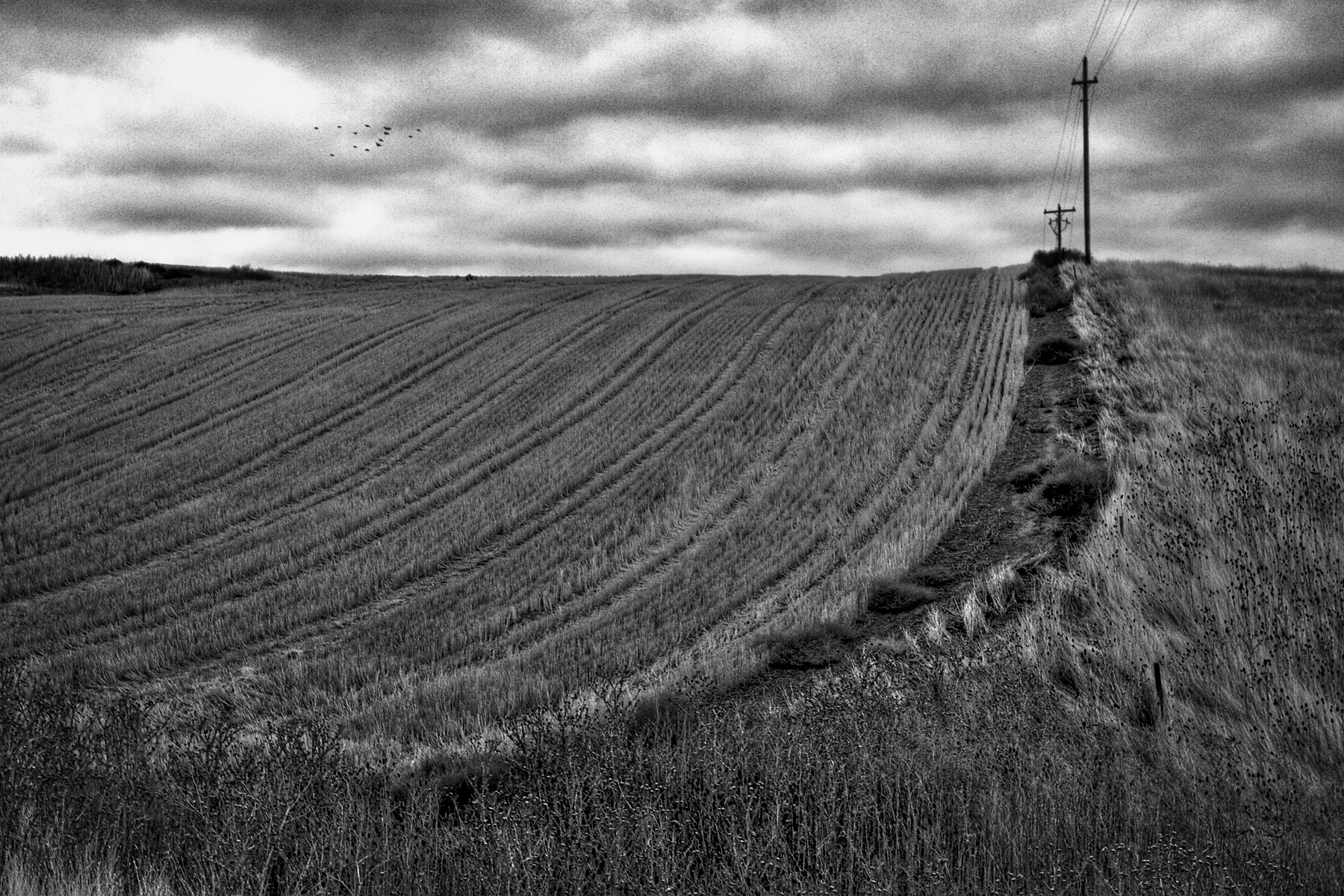
winter willows and teasel
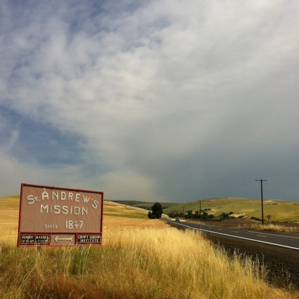
Pendleton, OR
Untitled photo

IMG_3981 Oregon Clouds

IMG_3971 Oregon Clouds I-84
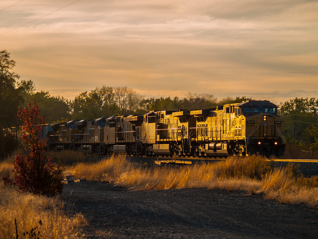
UP Grain At Sunset
Wide open spaces
Eastern Oregon is amazing.
Road trip

IMG_0034_stitch3-001
Found some food
good morning, oregon

Winter commute
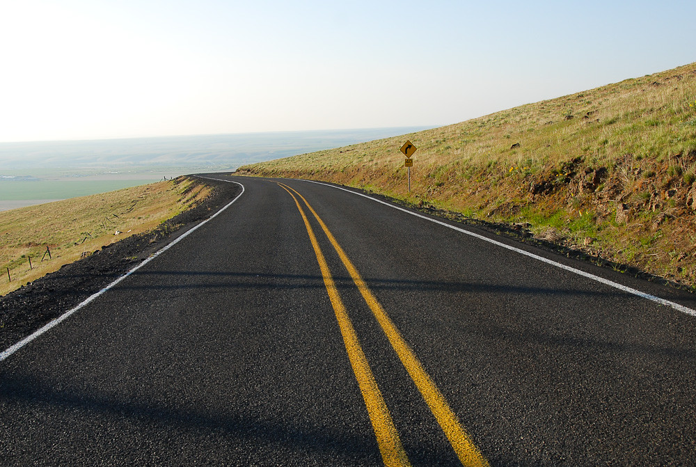
20080504_5286...Quiet road
Topographic Map of McCormmach Rd, Pendleton, OR, USA
Find elevation by address:

Places near McCormmach Rd, Pendleton, OR, USA:
Umatilla County
742 Se Court Ave
827 Nw 5th St
400 S Main St
1041 Nw 12th Dr
Pendleton
24 Nw 10th St
SW 1st St, Pendleton, OR, USA
3045 Sw Overlook Dr
3045 Sw Overlook Dr
NW 49th St, Pendleton, OR, USA
1818 Sw 43rd St
SW Gateway Ave, Pendleton, OR, USA
Deadman Pass Lookout Area
NE 2nd St, Pilot Rock, OR, USA
Pilot Rock
E Main St, Athena, OR, USA
424 E Currant St
900 N 5th St
11 Gardena School Rd, Touchet, WA, USA
Recent Searches:
- Elevation of Corso Fratelli Cairoli, 35, Macerata MC, Italy
- Elevation of Tallevast Rd, Sarasota, FL, USA
- Elevation of 4th St E, Sonoma, CA, USA
- Elevation of Black Hollow Rd, Pennsdale, PA, USA
- Elevation of Oakland Ave, Williamsport, PA, USA
- Elevation of Pedrógão Grande, Portugal
- Elevation of Klee Dr, Martinsburg, WV, USA
- Elevation of Via Roma, Pieranica CR, Italy
- Elevation of Tavkvetili Mountain, Georgia
- Elevation of Hartfords Bluff Cir, Mt Pleasant, SC, USA