Elevation of Mcclees Rd, Red Bank, NJ, USA
Location: United States > New Jersey > Monmouth County > Red Bank >
Longitude: -74.046303
Latitude: 40.383657
Elevation: 32m / 105feet
Barometric Pressure: 101KPa
Elevation Map:
Satellite Map:
Related Photos:
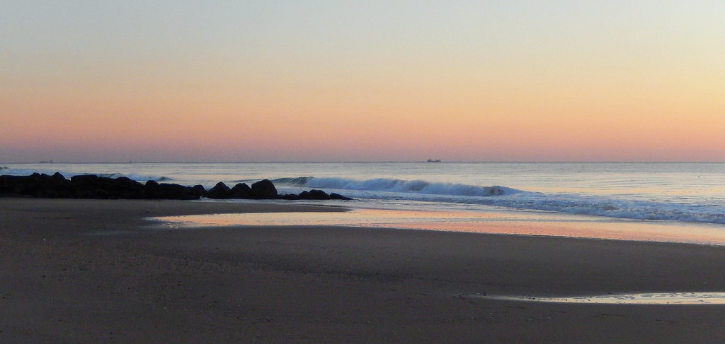
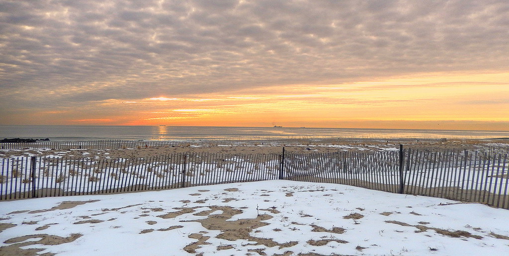
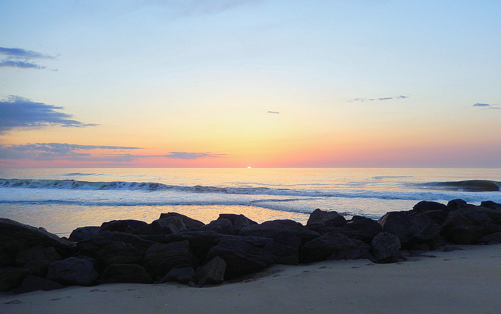
Rhythm of the Sea
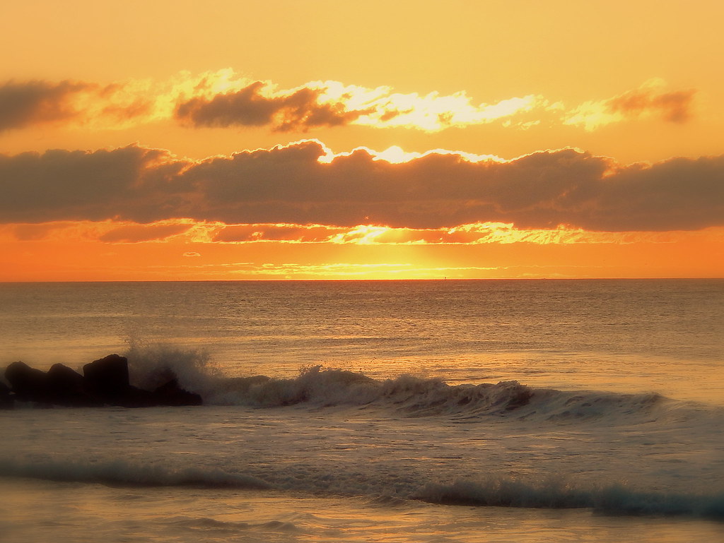
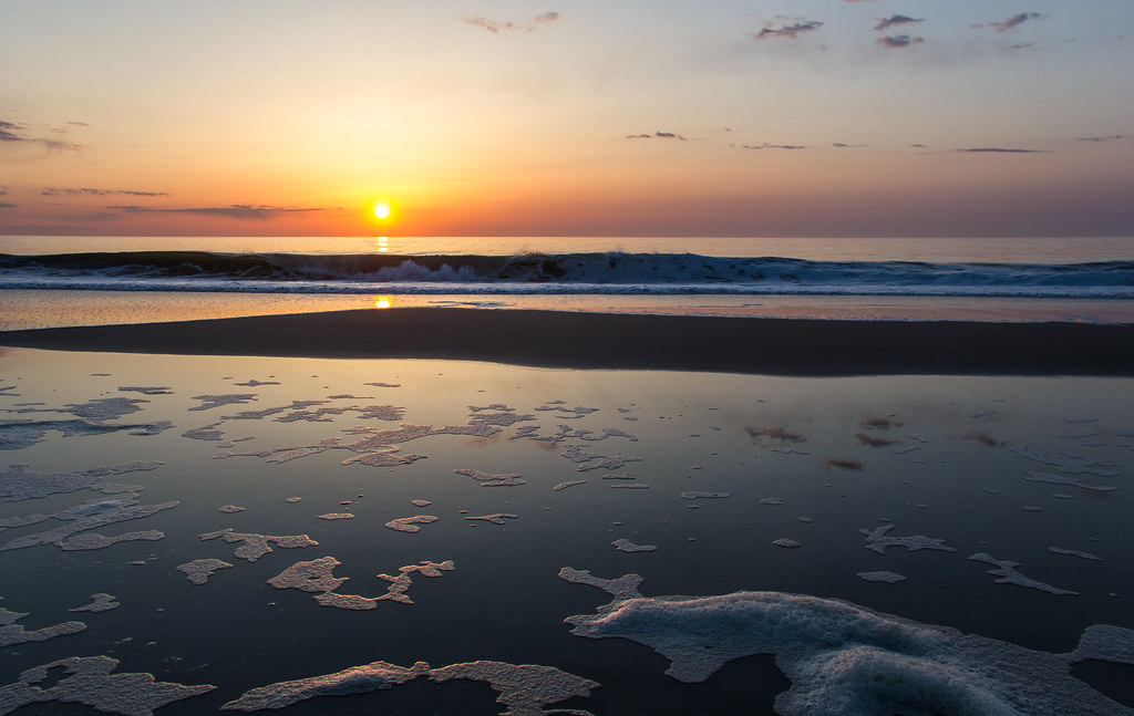
Molten Morning
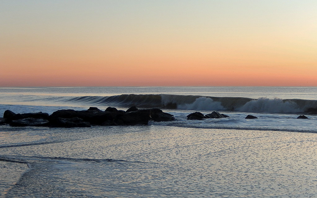
Cinnamon-stick Serenade

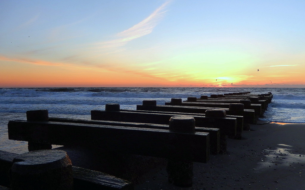
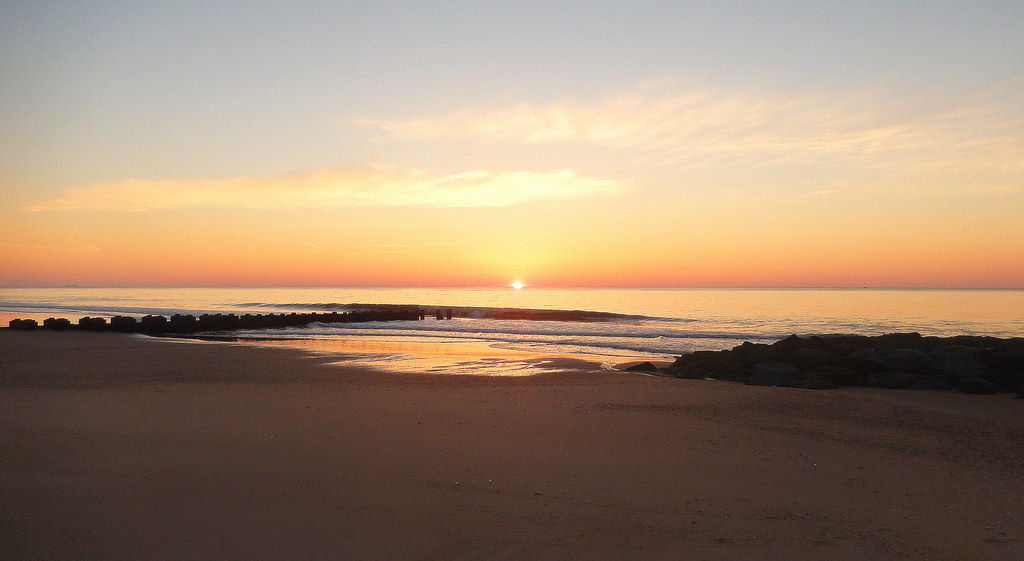
Sweet Light

Patten Point -- The Shrewsbury River -- 7/6/14
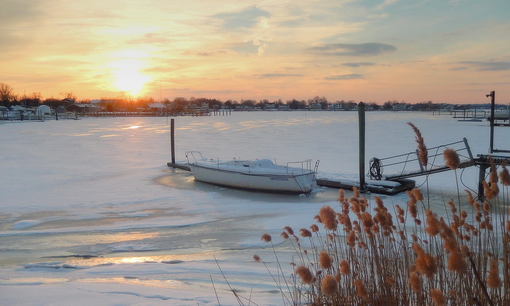
Summer is a Distant Dream
Summer is a Distant Dream

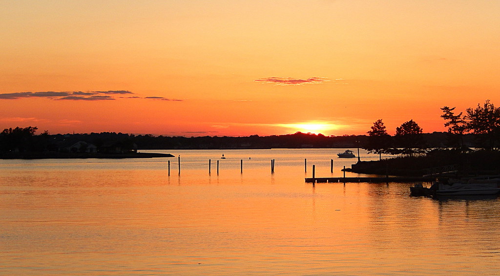
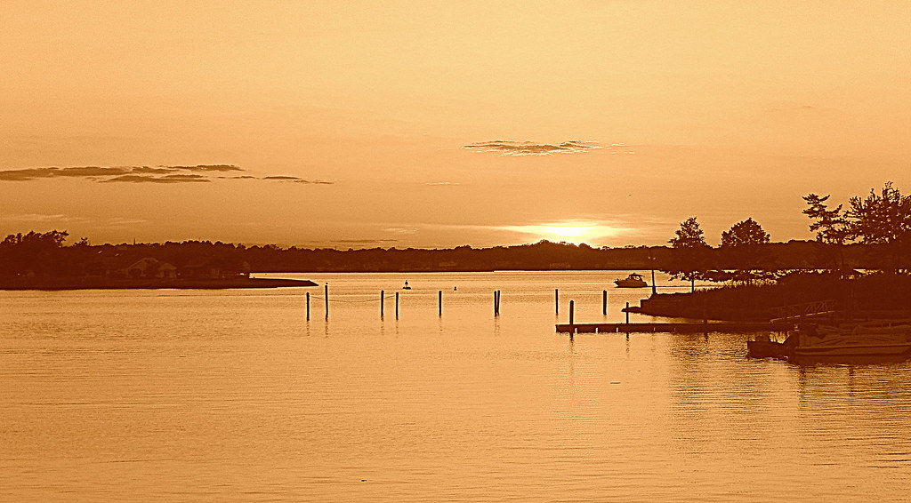
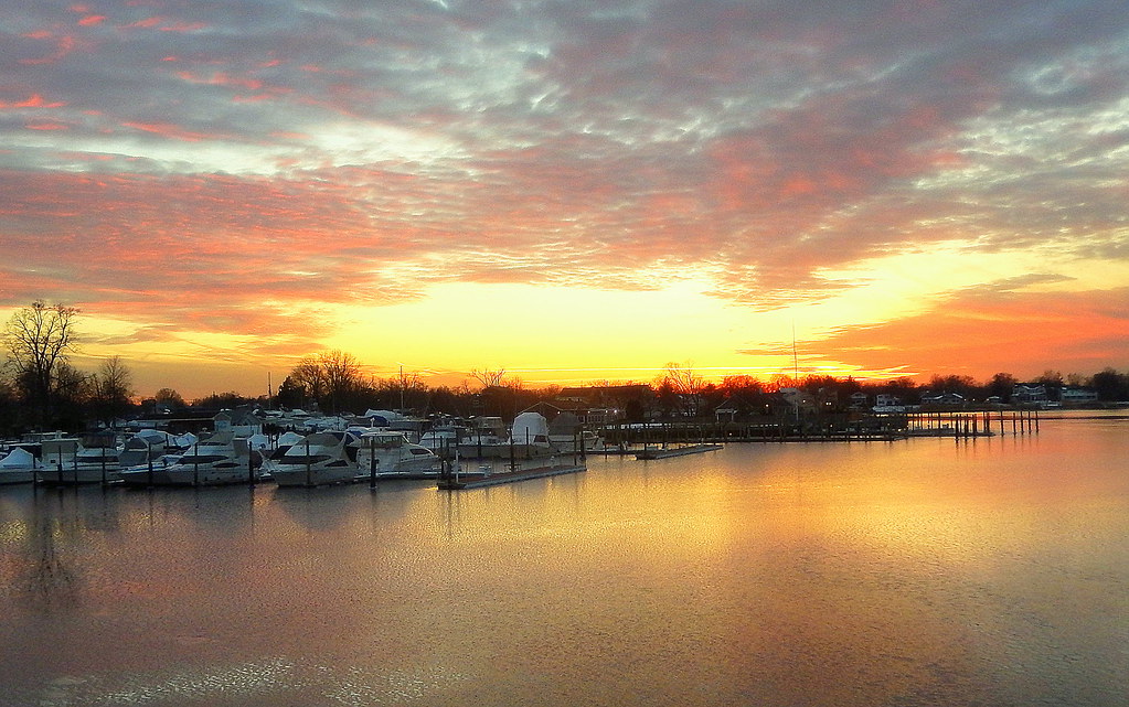
Oceanport Sunset
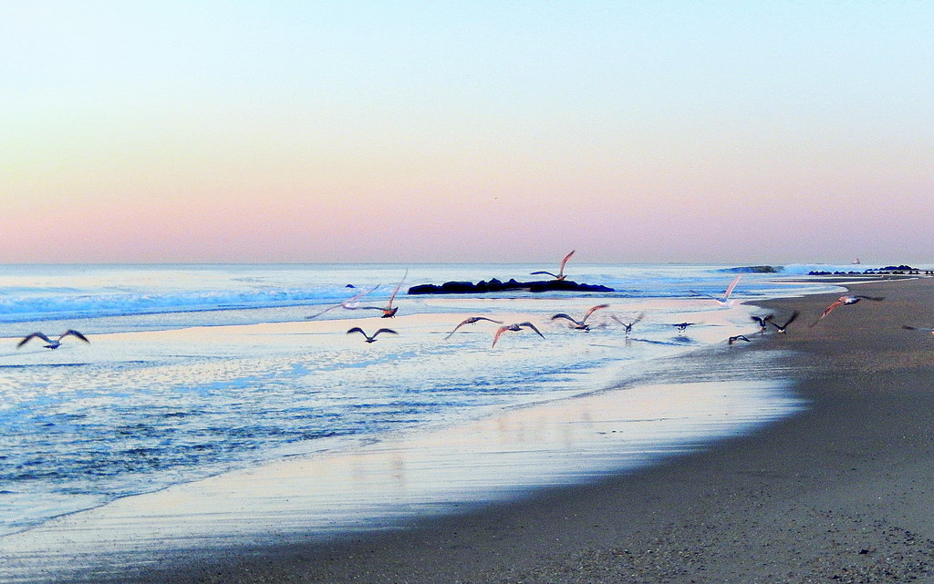
Take to Flight
Patten Point
Another Perspective

Into the Woods, again
Another new awakening, to the whispering rhythm of the sea ...
Sun Up (112/365)
Rhythm of the Sea
An Awakening

The Colors That Show Up Late 來得遲的色彩

Let the Blue Hour begin

I like the red ones
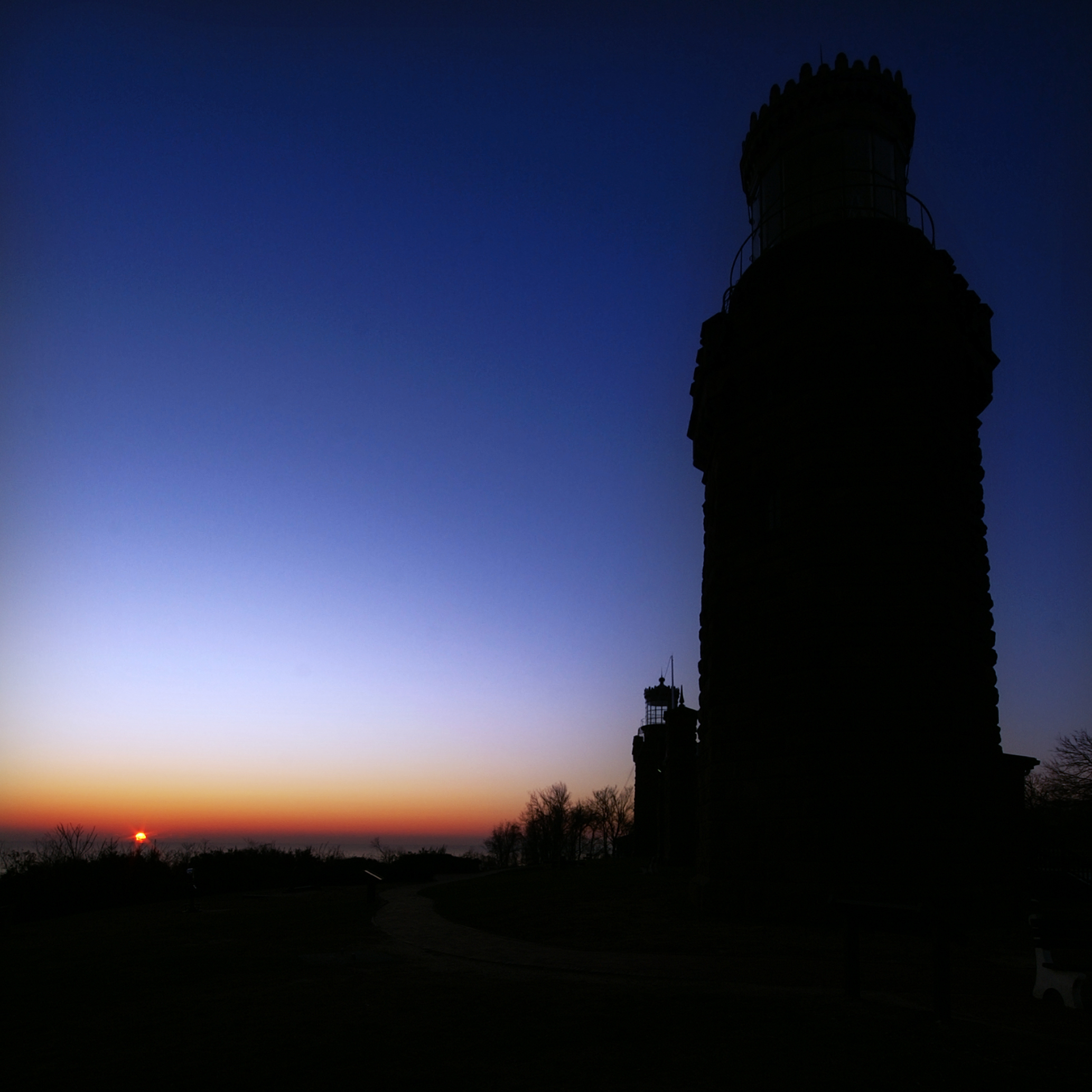
Navesink Twin Lights Sunrise
Amber Explosion
Topographic Map of Mcclees Rd, Red Bank, NJ, USA
Find elevation by address:

Places near Mcclees Rd, Red Bank, NJ, USA:
41 Riverlawn Dr
100 Pine Cove Rd
Lewis Point Road
Canyon Pass Provisions
Fair Haven
22 Sycamore Ln
150 Hance Rd
21 Spruce Dr
76 Heights Terrace
26 Hillcrest Rd
34 Hillside Pl
35 Sunny Ridge Dr
33 Buena Vista Ave
174 Buttonwood Dr
500 Ridge Rd
4 2nd St
516 Ridge Rd
23 Bellevue Ave
1 Brookside Dr
212 Heritage Ct
Recent Searches:
- Elevation of Corso Fratelli Cairoli, 35, Macerata MC, Italy
- Elevation of Tallevast Rd, Sarasota, FL, USA
- Elevation of 4th St E, Sonoma, CA, USA
- Elevation of Black Hollow Rd, Pennsdale, PA, USA
- Elevation of Oakland Ave, Williamsport, PA, USA
- Elevation of Pedrógão Grande, Portugal
- Elevation of Klee Dr, Martinsburg, WV, USA
- Elevation of Via Roma, Pieranica CR, Italy
- Elevation of Tavkvetili Mountain, Georgia
- Elevation of Hartfords Bluff Cir, Mt Pleasant, SC, USA