Elevation of McCleary, WA, USA
Location: United States > Washington > Grays Harbor County > Mccleary >
Longitude: -123.27787
Latitude: 47.0367567
Elevation: 84m / 276feet
Barometric Pressure: 100KPa
Elevation Map:
Satellite Map:
Related Photos:

Reeling in the Gold

Sharon Cemetery . mr. witsman

IMG_1467 Schafer Park

IMG_1451 Usnea longissima

IMG_1461 Hairy Woodpecker

IMG_1463 Wilsons Warbler

Capital Forest View Capital Forest Panoramic From Green Line #6

Capital Forest View Capital Forest Panoramic From Green Line #6

View From Greenline #6

Capital Forest View Capital Forest Panoramic From Green Line #6

View From Greenline #6

View From Greenline #6

Nuclear View

Main Street Elma

Volcano Overview

IMG_4273 Cacklers and Snow Geese
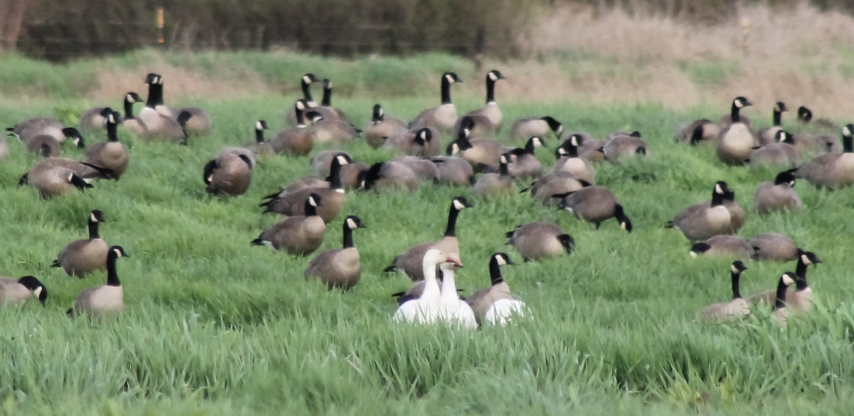
IMG_4274 Snow Geese and Cacklers

View from Capitol Peak

View West Along Capitol Peak Rd

IMG_0343 Townsend's Solitaire - Myadestes townsendi

View from Capitol Peak

A Gem of A Waterfall

Summit Lake

Summit Lake

Summit Lake
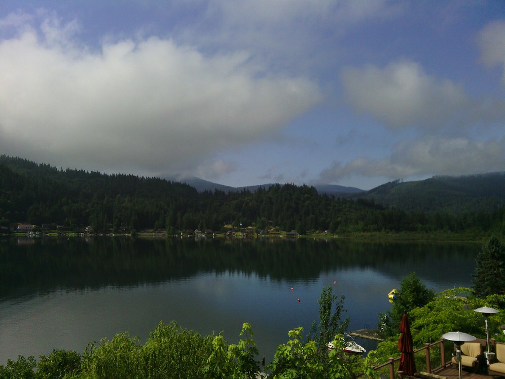
Summit Lake

Near days end

Mobile Black and White Photography-Project 2020-8
lunch spot

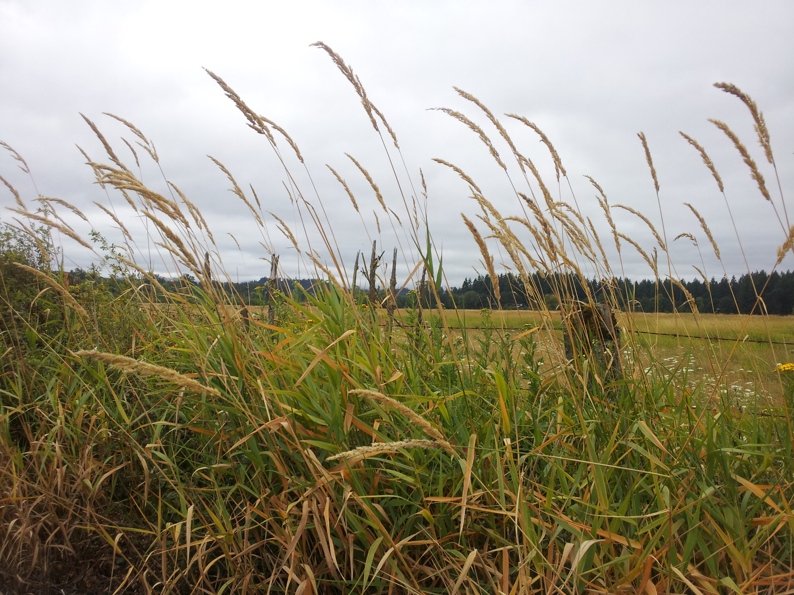
#washington #clouds #scenic #barns #old #driving #hiking

Kennedy Creek

Across the Puget Sound
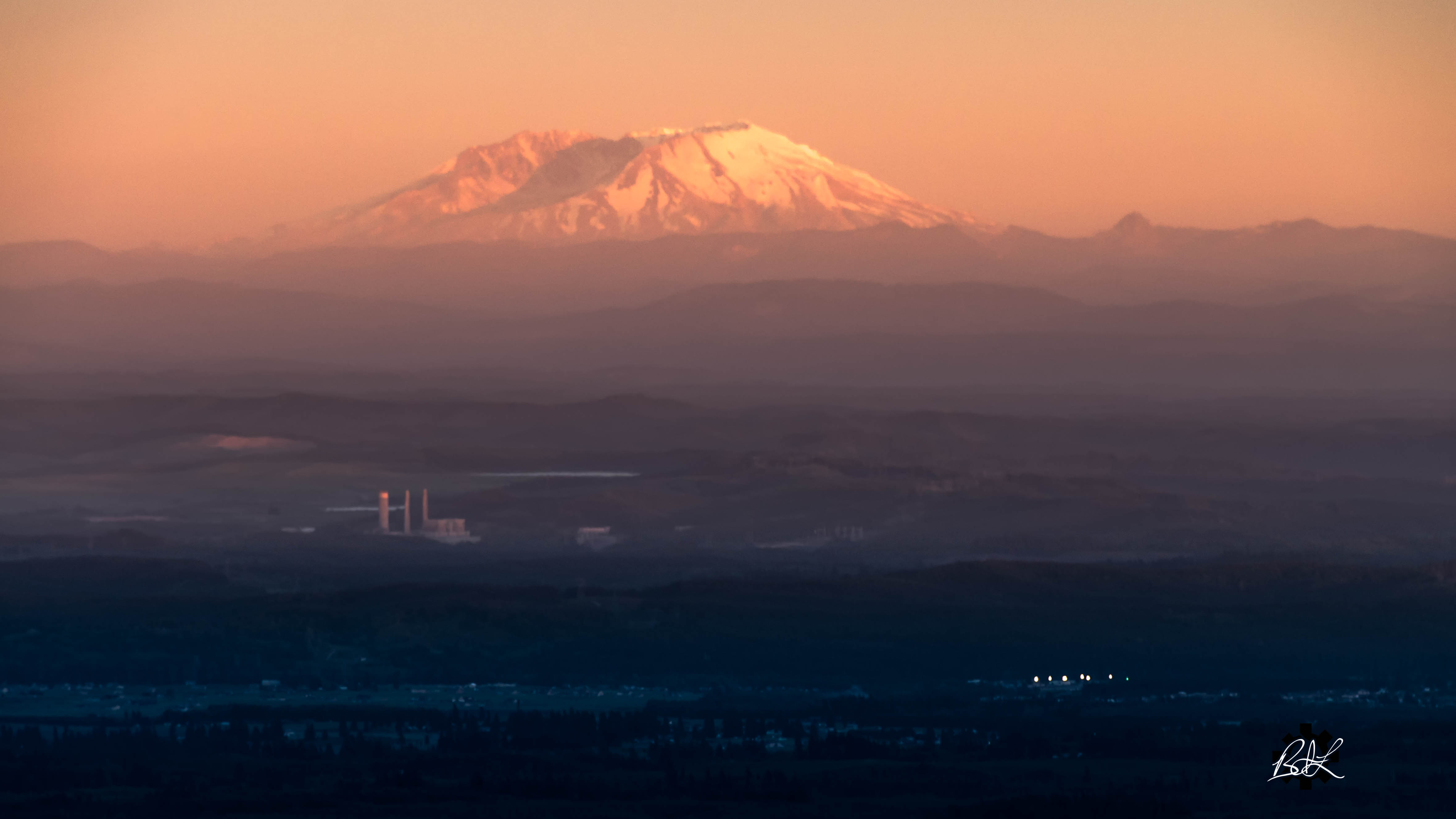
Volcano in the distance

Sunny Winter Day on Oyster Bay No. 4, Thurston County, Washington, 2016

Giant Neighbor

Sunny Winter Day on Oyster Bay No. 5, Thurston County, Washington, 2016

Sunny Winter Day on Oyster Bay No. 3, Thurston County, Washington, 2016

Kennedy Creek Estuary
Topographic Map of McCleary, WA, USA
Find elevation by address:

Places near McCleary, WA, USA:
24 Overlake Ln
419 W Oak St
234 N Sand Creek Rd
Mccleary Cemetery
Mccleary
195 Mccleary Rd
190 Wildcat Dr
9 Stillson Rd
657 West Camas Court
618 Elma Mccleary Rd
29 Evans Ln
W State Route Rte, Shelton, WA, USA
215 Malone Hill Rd
215 Malone Hill Rd
115 Powers Creek Rd
Porter
N Blockhouse Rd, Elma, WA, USA
Main Street
13 Porter Creek Rd, Elma, WA, USA
911 Summit Lake Shore Rd Nw
Recent Searches:
- Elevation of Corso Fratelli Cairoli, 35, Macerata MC, Italy
- Elevation of Tallevast Rd, Sarasota, FL, USA
- Elevation of 4th St E, Sonoma, CA, USA
- Elevation of Black Hollow Rd, Pennsdale, PA, USA
- Elevation of Oakland Ave, Williamsport, PA, USA
- Elevation of Pedrógão Grande, Portugal
- Elevation of Klee Dr, Martinsburg, WV, USA
- Elevation of Via Roma, Pieranica CR, Italy
- Elevation of Tavkvetili Mountain, Georgia
- Elevation of Hartfords Bluff Cir, Mt Pleasant, SC, USA