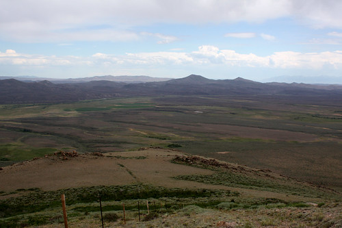
Elevation of McAfee Peak, Nevada, USA
Location: United States > Nevada > Elko County > Tuscarora >
Longitude: -115.97369
Latitude: 41.5215735
Elevation: 3118m / 10230feet
Barometric Pressure: 69KPa
Related Photos:
Topographic Map of McAfee Peak, Nevada, USA
Find elevation by address:

Places near McAfee Peak, Nevada, USA:
Wilson Peak
Pennsylvania Hill
Mountain City
Tuscarora
Merritt Mountain
Mccann Creek Mountain
LEE, NV, USA
Pine Mountain
Owyhee
Beaver Peak
Jarbidge
Matterhorn
Jarbridge Peak
Osino
Jarbidge, NV, USA
Towneplace Suites By Marriott Elko
Sawyer Way
128 Chris Ave
Elko
1655 Mountain City Hwy
Recent Searches:
- Elevation of Corso Fratelli Cairoli, 35, Macerata MC, Italy
- Elevation of Tallevast Rd, Sarasota, FL, USA
- Elevation of 4th St E, Sonoma, CA, USA
- Elevation of Black Hollow Rd, Pennsdale, PA, USA
- Elevation of Oakland Ave, Williamsport, PA, USA
- Elevation of Pedrógão Grande, Portugal
- Elevation of Klee Dr, Martinsburg, WV, USA
- Elevation of Via Roma, Pieranica CR, Italy
- Elevation of Tavkvetili Mountain, Georgia
- Elevation of Hartfords Bluff Cir, Mt Pleasant, SC, USA
