Elevation map of Mbulu, Tanzania
Location: Tanzania > Manyara Region >
Longitude: 35.3027226
Latitude: -3.9290566
Elevation: 1725m / 5659feet
Barometric Pressure: 82KPa
Elevation Map:
Satellite Map:
Related Photos:

Heading to the next camp

Heading to the next camp

Heading to the next camp

Heading to the next camp
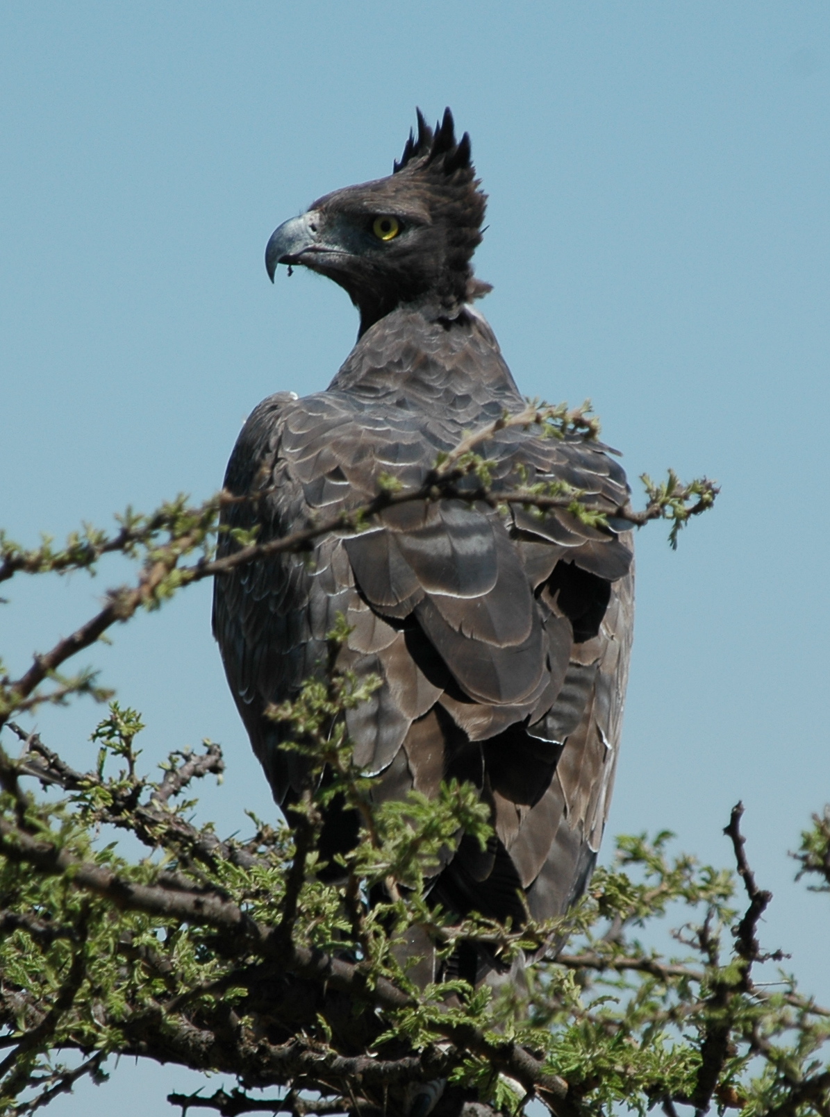
Martial Eagle
Topographic Map of Mbulu, Tanzania
Find elevation by address:

Places in Mbulu, Tanzania:
Places near Mbulu, Tanzania:
Karatu
Mbulu
Magara
Lake Manyara Tree Lodge
Magugu
Mwada
Babati
Babati
Tarangire National Park
Tarangire Osupuko Lodge
Chem Chem Lodge
Getamock Secondary School
Qurus
Lake Manyara
Endamarariek
Bashay Lodge
Endulen
Nkaiti
Farm Of Dreams Lodge
Lake Manyara National Park
Recent Searches:
- Elevation of Corso Fratelli Cairoli, 35, Macerata MC, Italy
- Elevation of Tallevast Rd, Sarasota, FL, USA
- Elevation of 4th St E, Sonoma, CA, USA
- Elevation of Black Hollow Rd, Pennsdale, PA, USA
- Elevation of Oakland Ave, Williamsport, PA, USA
- Elevation of Pedrógão Grande, Portugal
- Elevation of Klee Dr, Martinsburg, WV, USA
- Elevation of Via Roma, Pieranica CR, Italy
- Elevation of Tavkvetili Mountain, Georgia
- Elevation of Hartfords Bluff Cir, Mt Pleasant, SC, USA