Elevation of Mayoworth, WY, USA
Location: United States > Wyoming >
Longitude: -106.79199
Latitude: 43.8319144
Elevation: 1593m / 5226feet
Barometric Pressure: 84KPa
Elevation Map:
Satellite Map:
Related Photos:

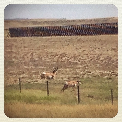
Near Kaycee,Wyoming.

Powder River country

North Fork of the Powder River WSA - 10

North Fork of the Powder River WSA - 2

North Fork of the Powder River WSA - 11
Wyoming, I-90 - August 2014

CIMG0199.jpg

Canadian road trip - Denver to Canmore
Topographic Map of Mayoworth, WY, USA
Find elevation by address:

Places in Mayoworth, WY, USA:
Places near Mayoworth, WY, USA:
261 Nolan Ave
Kaycee
1st St, Kaycee, WY, USA
227 Muddy Creek Rd
Johnson County
Elgin Park
Sussex Rd, Kaycee, WY, USA
Buffalo
75 N Main St, Buffalo, WY, USA
Lake De Smet
1519 Tipperary Rd
State Hwy, Banner, WY, USA
Fort Phil Kearny Historic Site
528 Wagon Box Rd
US-14, Clearmont, WY, USA
Banner
233 Dow Prong Rd
Ulm Rd, Clearmont, WY, USA
Clearmont
New York Ave, Clearmont, WY, USA
Recent Searches:
- Elevation of Corso Fratelli Cairoli, 35, Macerata MC, Italy
- Elevation of Tallevast Rd, Sarasota, FL, USA
- Elevation of 4th St E, Sonoma, CA, USA
- Elevation of Black Hollow Rd, Pennsdale, PA, USA
- Elevation of Oakland Ave, Williamsport, PA, USA
- Elevation of Pedrógão Grande, Portugal
- Elevation of Klee Dr, Martinsburg, WV, USA
- Elevation of Via Roma, Pieranica CR, Italy
- Elevation of Tavkvetili Mountain, Georgia
- Elevation of Hartfords Bluff Cir, Mt Pleasant, SC, USA