Elevation of Mayesville, SC, USA

Location: United States > South Carolina > Sumter County >

Longitude: -80.208131

Latitude: 33.9876575

Elevation: 46m / 151feet

Barometric Pressure: 101KPa

Elevation Map:

elevation map of Mayesville, SC, USA

Satellite Map:

Satellite map of Mayesville, SC, USA

Related Photos:

slide piszczek
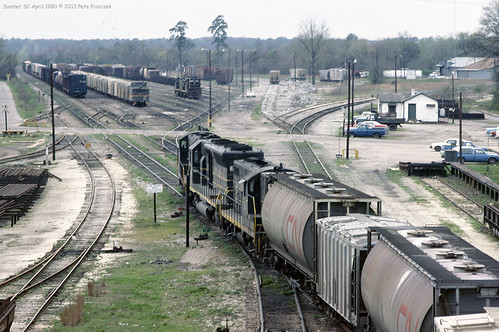
SCL 839 Sumter April 1980 b
summer sc rural countryside scenery quiet view country carolina leecounty
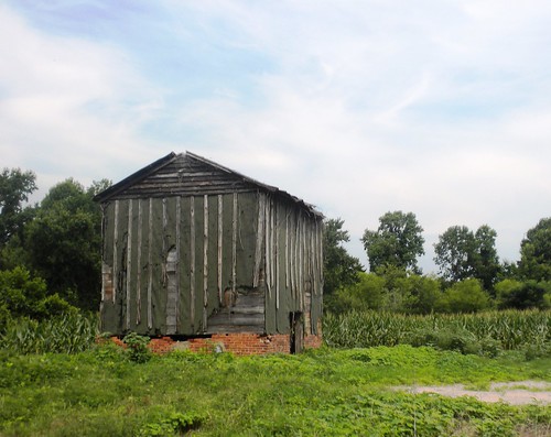
old barn
windows summer sc field rural concrete countryside scenery alone quiet view country porch carolina desolate leecounty
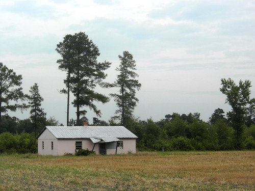
pink house
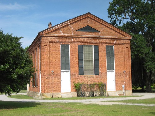
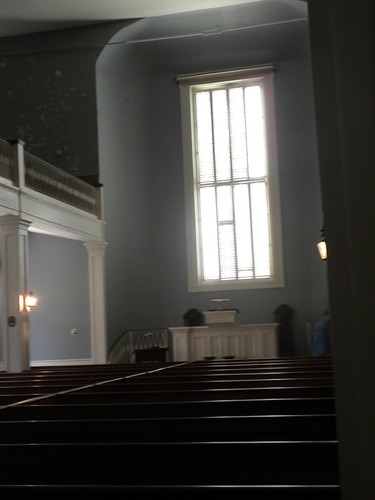
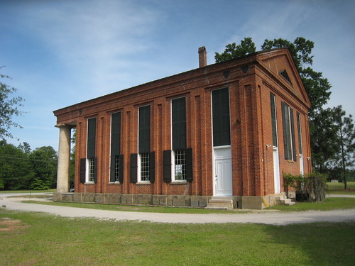
church antebellum mayesville barronswedding salemblackriverchurch
Salem Black River Church
sc church rural earthquake worship atheism jesus rail historic anchor carolina fsm salem comfort antebellum understanding presbyterian psychology atheist turnbuckle sumtercounty mayesville prsebyterian
Salem Black River Presbyterian Church
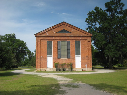
church antebellum mayesville barronswedding salemblackriverchurch
Salem Black River Church
show sc broadcast thanks opera theater stage southcarolina appreciation sumter plaid mig alston plea rowland budgetcuts makingitgrow
Rowland Alston, "Making it Grow!"
church antebellum mayesville barronswedding salemblackriverchurch
Salem Black River Church
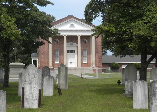
summer brick sc cemetery architecture rural dead countryside memorial scenery quiet view country religion columns steps lawn graves carolina elliott leecounty
Mount Zion Church
church cemetery southcarolina leecounty rembert historialplaces duesth
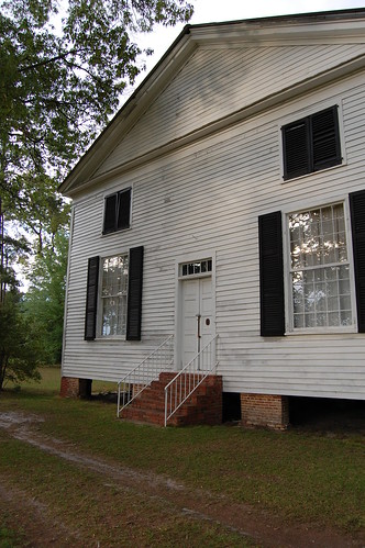
Front View of Rembert Church
sc broadcast tv audience farming etc sumter agriculture plaid operahouse botany popular viewing clemson televsion plantman makingitgrow
Webbie Debbie, Rowland
church cemetery southcarolina leecounty rembert historialplaces duesth
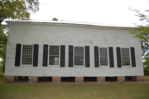
Side View of Church
church southcarolina leecounty cemtery rembert historialplaces duesth
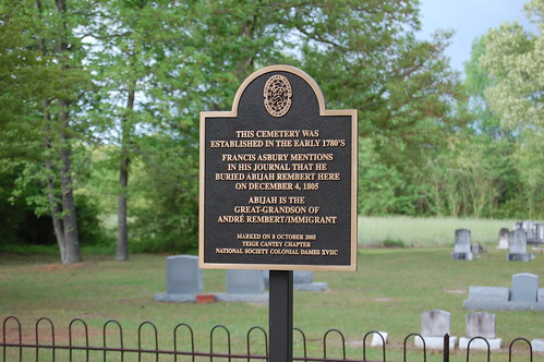
Marker for Rembert Church
piszczek
SCL Sumter Yard June 1980
tree green sc fruit forest walnut bumpy sphere swamp round blackriver sumter nut drupe spheroidal juglans juglandaceae juglansnigra pericarp walnit
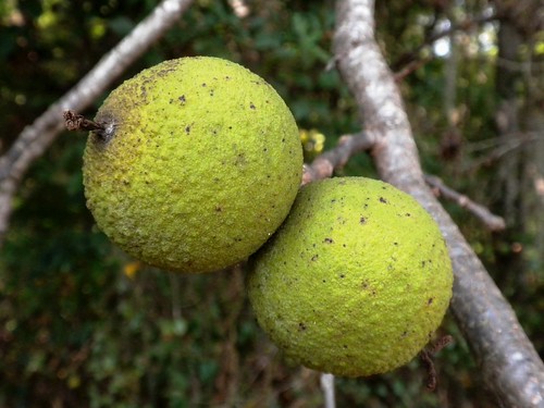
black walnut
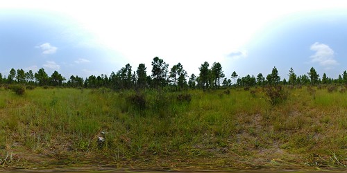
panorama pine pano 360 lynchburg savanna dnr equirectangular longleaf scdnr heritagepreserve imperiled lynchburgsavannaheritagepreserve
Lynchburg Savanna Heritage Preserve
Kudzu in the Winter
2014-02-14_07-53-19_64
county black history sc church cemetery river south historic carolina salem sumter presbyterian
Salem (Black River) Presbyterian Church
swamp 5
swamp 6
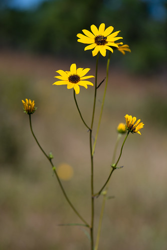
asteraceae dicots narrowleafsunflower helianthusangustifolius
Helianthus angustifolius (Narrowleaf sunflower)
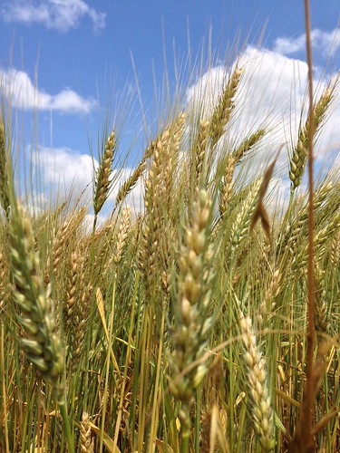
clouds wheat bluesky dubose
Almost fully brown wheat
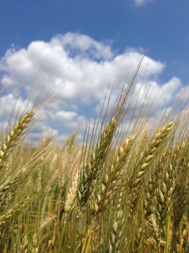
clouds wheat bluesky dubose
Wheat against a blue sky
clouds wheat bluesky dubose
Almost mature wheat
wheat bluesky dubose bigwhitecloud
Matured Wheat
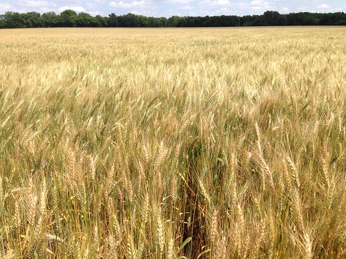
trees dubose wheatfield
Wheat Field