Elevation of Mayerhöfen 11, Austria
Location: Austria > Lower Austria > Zwettl District >
Longitude: 15.183948
Latitude: 48.6949655
Elevation: 561m / 1841feet
Barometric Pressure: 95KPa
Elevation Map:
Satellite Map:
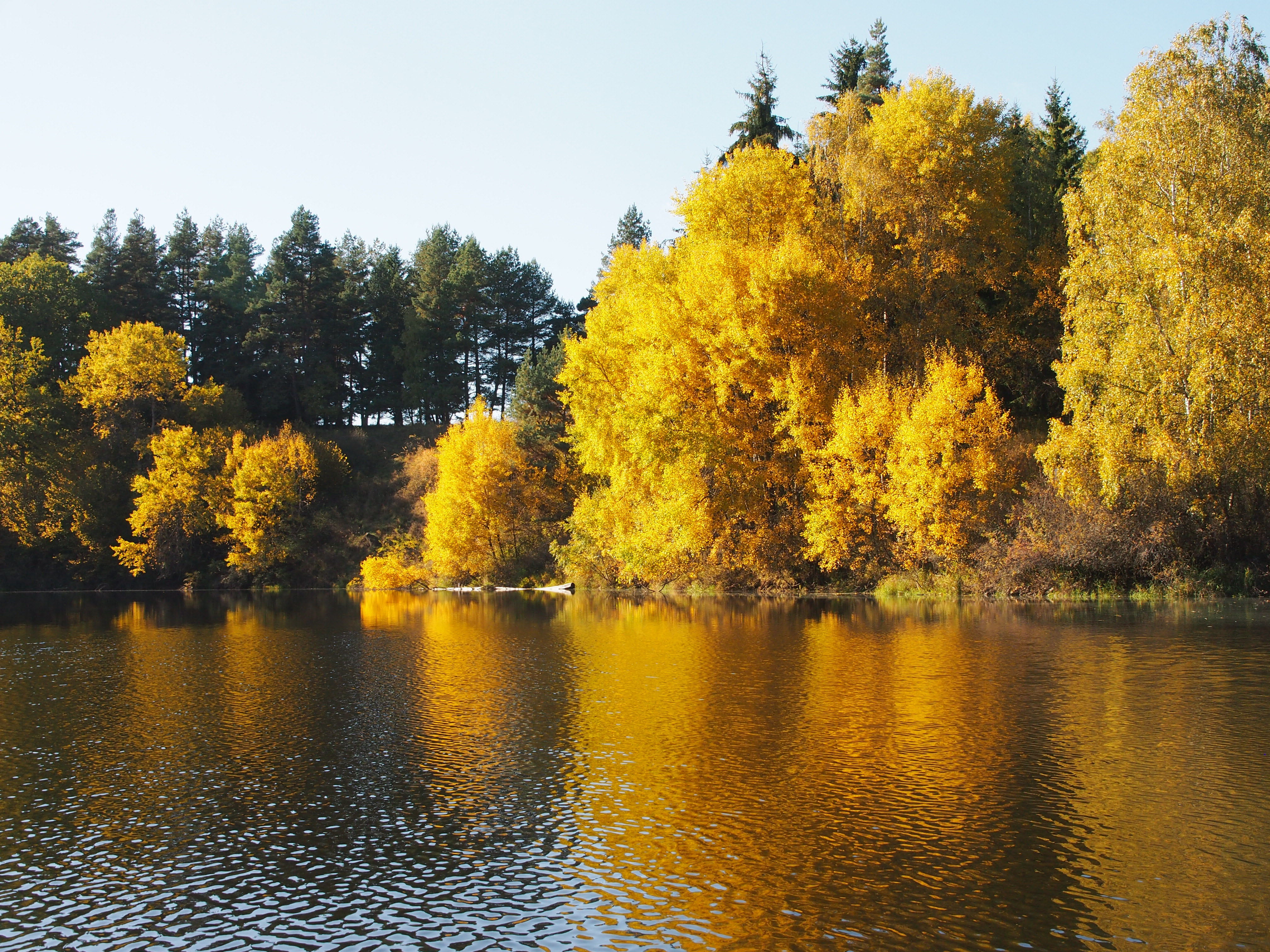
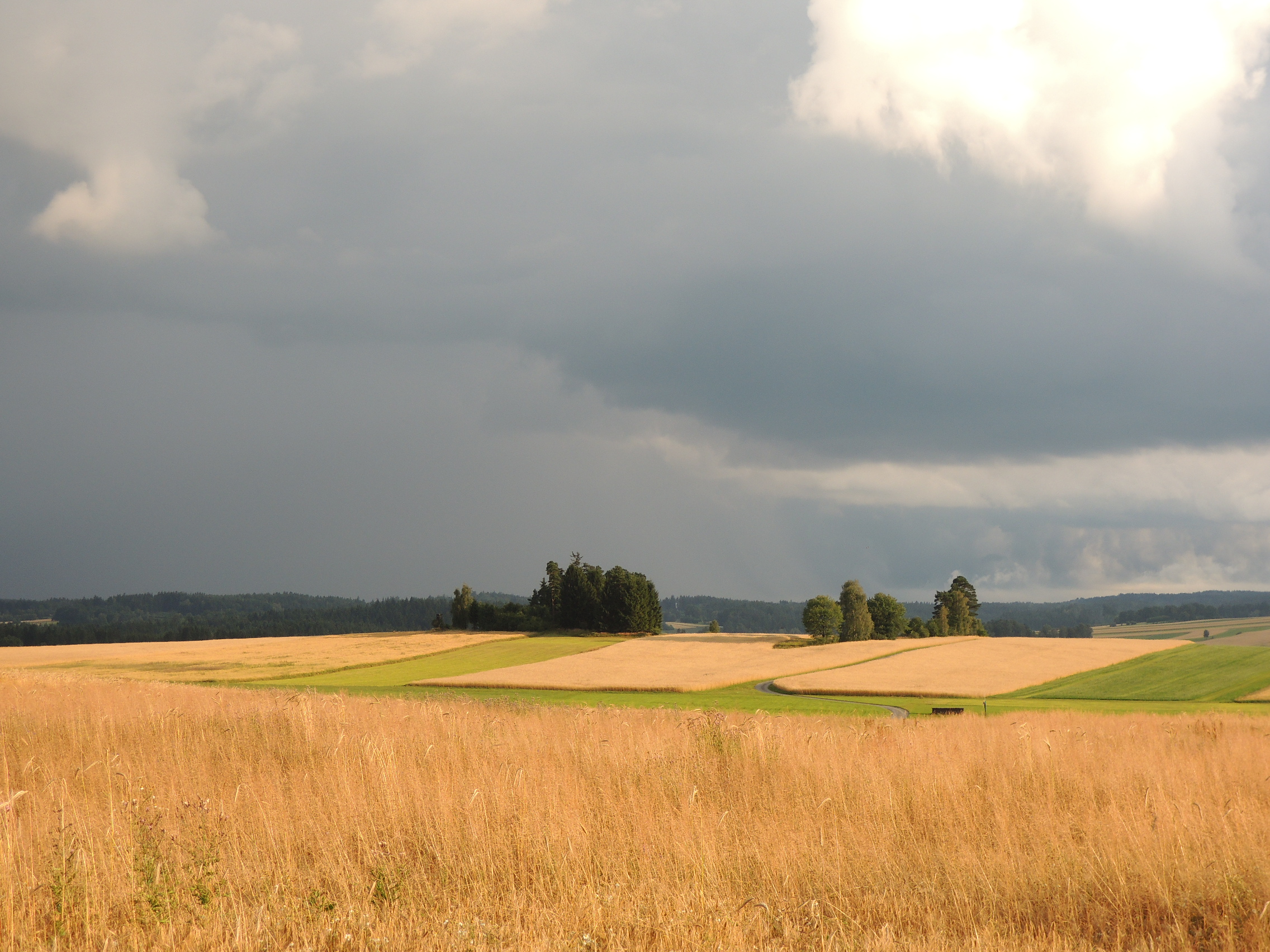
Related Photos:
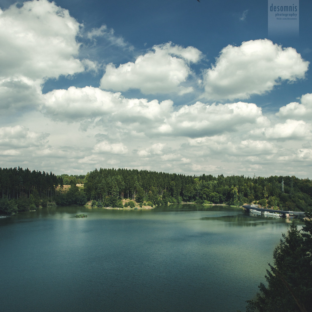
a dream view
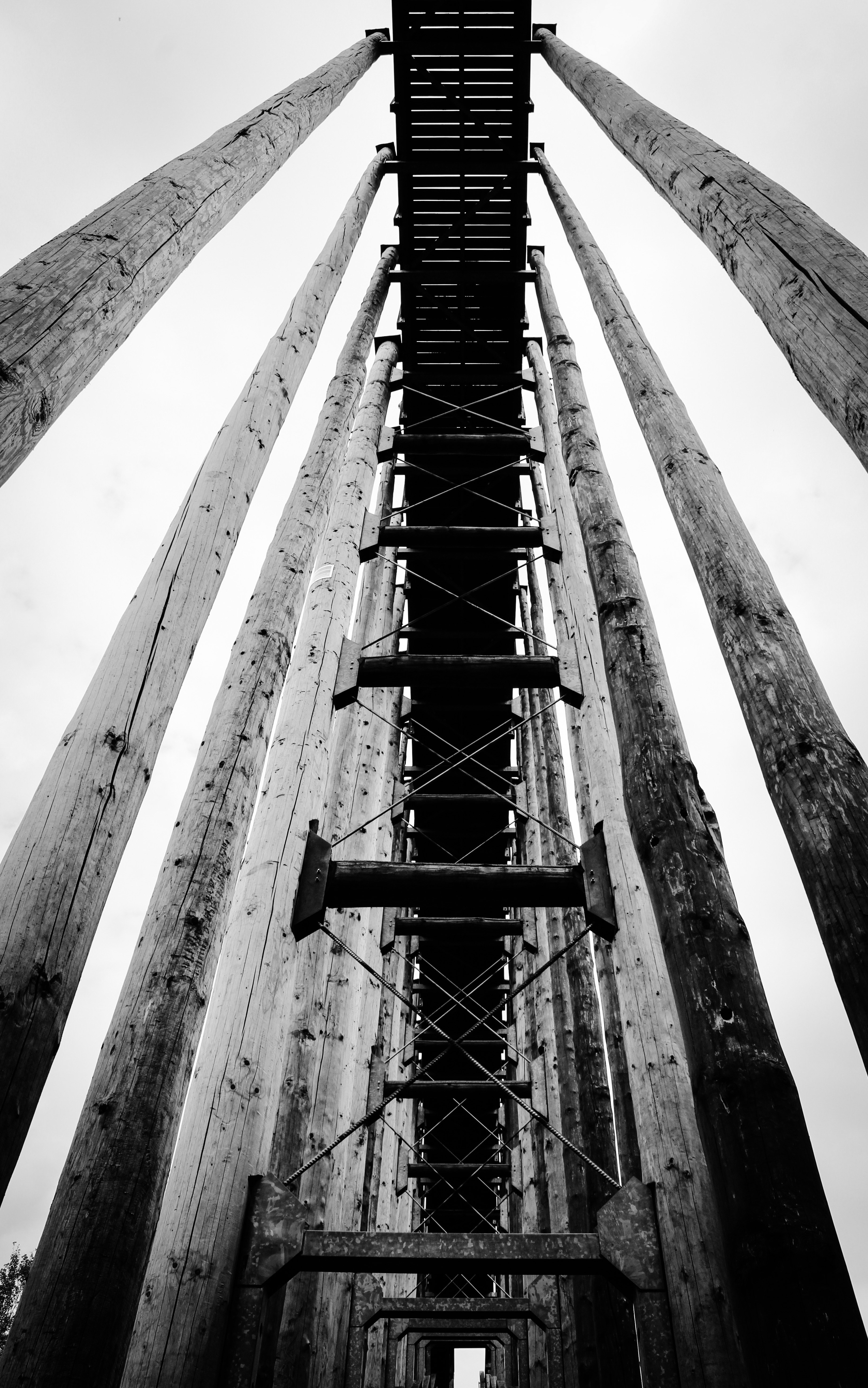
viewing platform
IMG_0128 - IMG_0132

*
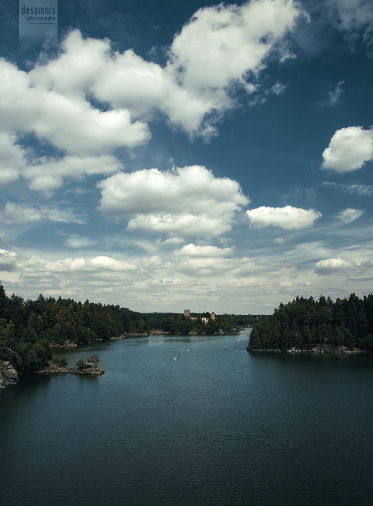
summer memories

The black sheep of the family enjoys on the wall the last rays of sun - alone ;))) #castle #ottenstein #wald4tel #waldviertel #austria #igersaustria #igersniederösterreich #nö #niederõsterreich #animals #goats

Big rolls!

Poppies on a Field

In the fields
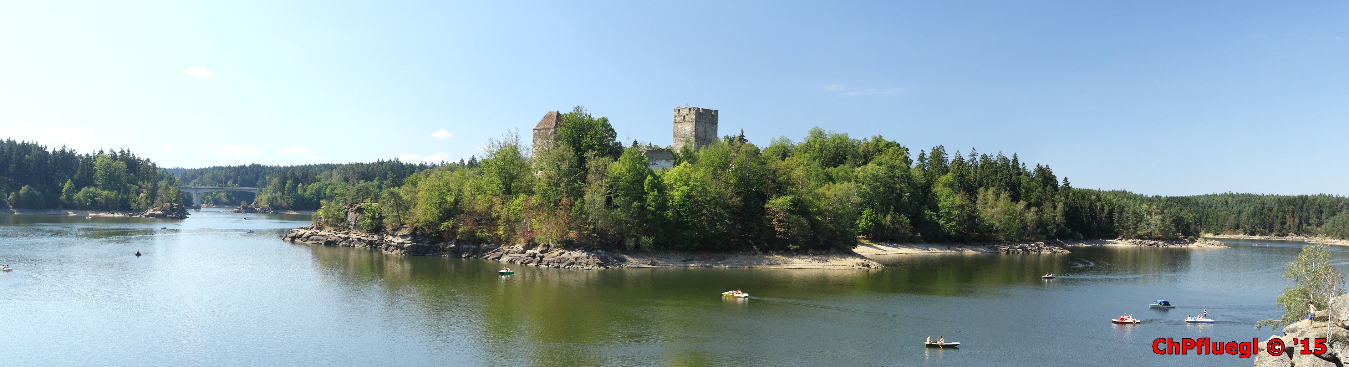
Stausee Ottenstein
wt .
Im Waldviertel

Hütte im Nebel - 2

The merits of agriculture
Waldviertel #6

Waldviertel #5

In the fields
Licht und Schatten
#cloudstagram

Wheat during sunset
GBW-Herbstexkursion

Waldviertel #2

sunset 1
Topographic Map of Mayerhöfen 11, Austria
Find elevation by address:

Places near Mayerhöfen 11, Austria:
Warnungs
Warnungs 5, Warnungs, Austria
Schweiggers
Kleinschönau 18, Austria
Artolz 21, Artolz, Austria
Artolz
Zwettl District
Gross-Eberharts 11, Großeberharts, Austria
Großeberharts
Groß-höbarten
Mödershöf 2, Schweiggers, Austria
Gross-Höbarten 2, Groß-Höbarten, Austria
Schrems
Niederschrems 43, Schrems, Austria
Waidhofen An Der Thaya District
Schirnes 14, Schirnes, Austria
Schirnes
Neuniederschrems 25, Austria
Albrechts 65, Albrechts, Austria
Albrechts
Recent Searches:
- Elevation of Corso Fratelli Cairoli, 35, Macerata MC, Italy
- Elevation of Tallevast Rd, Sarasota, FL, USA
- Elevation of 4th St E, Sonoma, CA, USA
- Elevation of Black Hollow Rd, Pennsdale, PA, USA
- Elevation of Oakland Ave, Williamsport, PA, USA
- Elevation of Pedrógão Grande, Portugal
- Elevation of Klee Dr, Martinsburg, WV, USA
- Elevation of Via Roma, Pieranica CR, Italy
- Elevation of Tavkvetili Mountain, Georgia
- Elevation of Hartfords Bluff Cir, Mt Pleasant, SC, USA