Elevation of Mavis Rd, Grantsboro, NC, USA
Location: United States > North Carolina > Pamlico County > > Arapahoe >
Longitude: -76.82916
Latitude: 35.027804
Elevation: 13m / 43feet
Barometric Pressure: 101KPa
Elevation Map:
Satellite Map:
Related Photos:

Should I Duck?

Shadows of the Sun

Torpedo Bomber Twilight
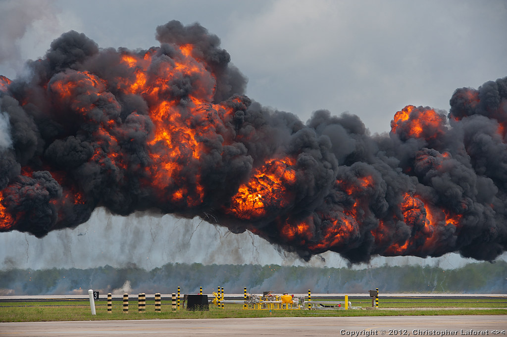
MAGTF Demo #105 (A Big Boom)

Tairngreacht Bas
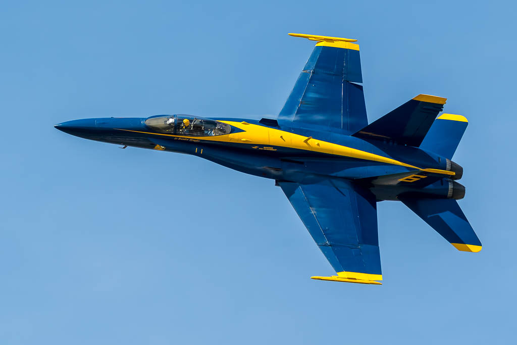
Lt Brandon Hempler

Evening Rush Hour

How's The View?

Prowling Banshee
Goin' Up

Up Before Sunset
Streak Of Lightning

Here It Comes!

Howlin' By
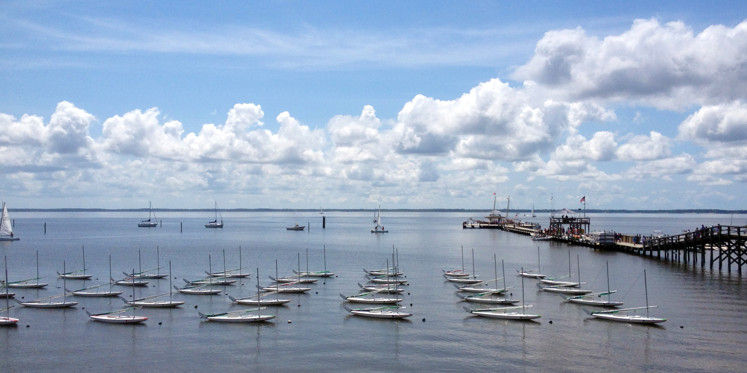
camp seagull water view
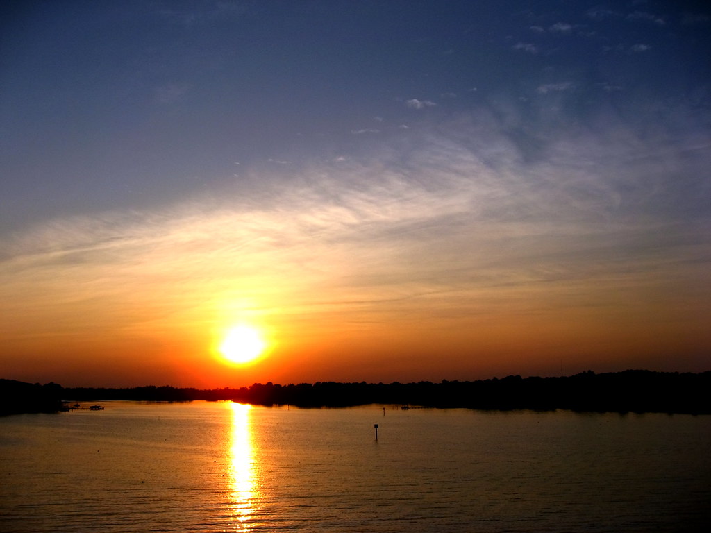
Oriental Sunset

The Belle Returns

Picture Perfect

Trio Of Banshees

T-Bird Take Off

Last Wail Of The Banshee
Topographic Map of Mavis Rd, Grantsboro, NC, USA
Find elevation by address:

Places near Mavis Rd, Grantsboro, NC, USA:
Arapahoe
8183 Nc-306
North Carolina 306
8375 Nc-306
9470 Nc-306
70 Muscadine Ct
76 Chickory Ln
54 Chickory Ln
33 Sassafrass Loop
18 Wild Swan Lane
5988 Nc-306
78 Snowy Egret Ct
Nature Run Drive
85 Nature Run Dr
735 Log Cabin Rd
735 Log Cabin Rd
741 Log Cabin Rd
742 Log Cabin Rd
725 Log Cabin Rd
590 Log Cabin Rd
Recent Searches:
- Elevation of Corso Fratelli Cairoli, 35, Macerata MC, Italy
- Elevation of Tallevast Rd, Sarasota, FL, USA
- Elevation of 4th St E, Sonoma, CA, USA
- Elevation of Black Hollow Rd, Pennsdale, PA, USA
- Elevation of Oakland Ave, Williamsport, PA, USA
- Elevation of Pedrógão Grande, Portugal
- Elevation of Klee Dr, Martinsburg, WV, USA
- Elevation of Via Roma, Pieranica CR, Italy
- Elevation of Tavkvetili Mountain, Georgia
- Elevation of Hartfords Bluff Cir, Mt Pleasant, SC, USA