Elevation of Mauthausen, Austria
Location: Austria > Upper Austria > Perg District > Gemeinde Mauthausen >
Longitude: 14.5146581
Latitude: 48.2412532
Elevation: 243m / 797feet
Barometric Pressure: 98KPa
Elevation Map:
Satellite Map:
Related Photos:
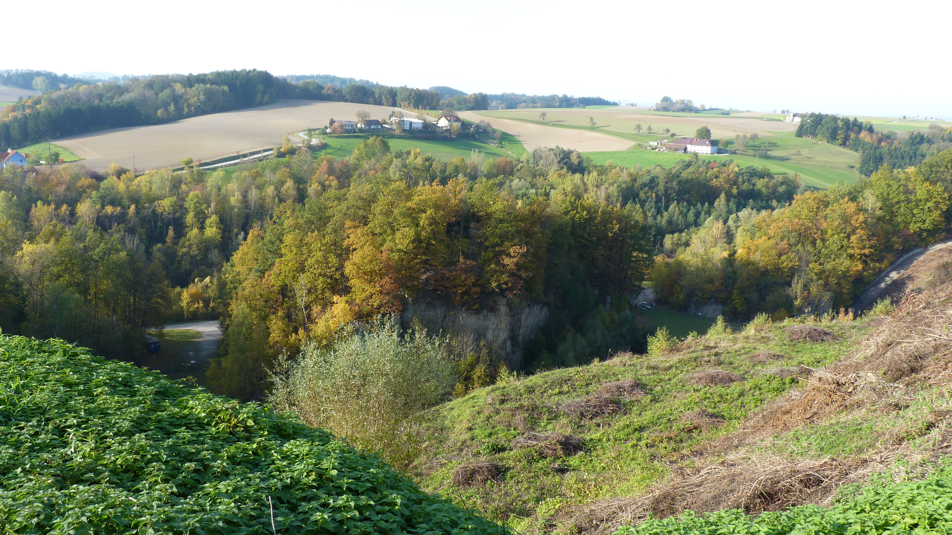
Mauthausen - view over quarry
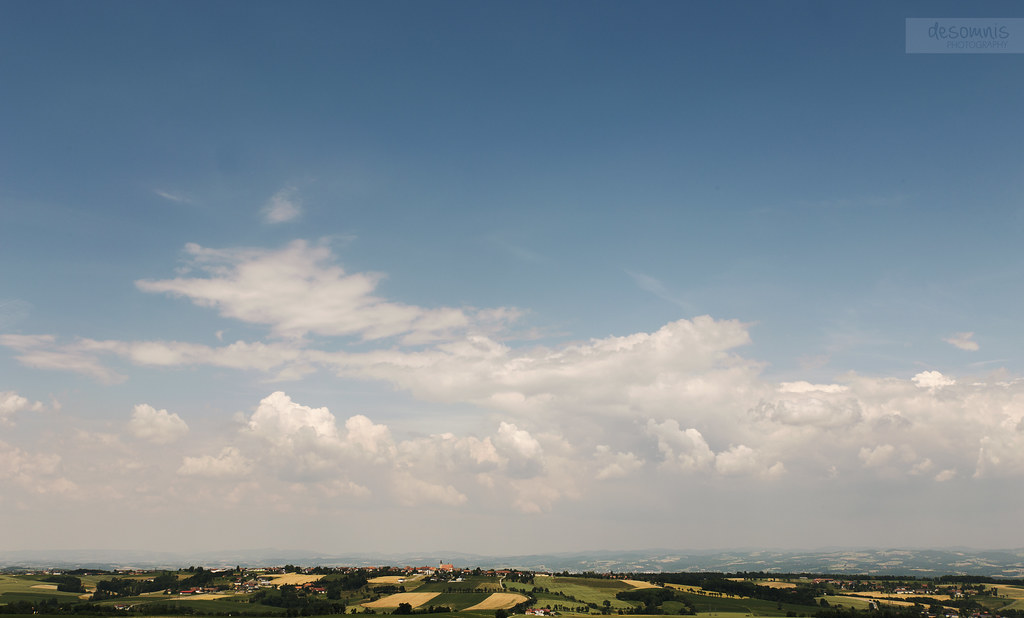
Born on a different cloud
Topographic Map of Mauthausen, Austria
Find elevation by address:

Places near Mauthausen, Austria:
Gemeinde Mauthausen
Heinrichsbrunn 44, Heinrichsbrunn, Austria
Gemeinde Langenstein
Langenstein
Enns
Gemeinde Enns
Greinsberg 7, Greinsberg, Austria
Feldstraße 10, Gusen, Austria
Kronau 4, Enns, Austria
Schwertberg
Kronau
Schwertberg Marktplatz
Gemeinde Schwertberg
Abwinden
Statzinger Str. 1, Statzing, Austria
Statzing
Breitenbruck
Breitenbruck
Perg District
Pergkirchen 10, Pergkirchen, Austria
Recent Searches:
- Elevation of Corso Fratelli Cairoli, 35, Macerata MC, Italy
- Elevation of Tallevast Rd, Sarasota, FL, USA
- Elevation of 4th St E, Sonoma, CA, USA
- Elevation of Black Hollow Rd, Pennsdale, PA, USA
- Elevation of Oakland Ave, Williamsport, PA, USA
- Elevation of Pedrógão Grande, Portugal
- Elevation of Klee Dr, Martinsburg, WV, USA
- Elevation of Via Roma, Pieranica CR, Italy
- Elevation of Tavkvetili Mountain, Georgia
- Elevation of Hartfords Bluff Cir, Mt Pleasant, SC, USA