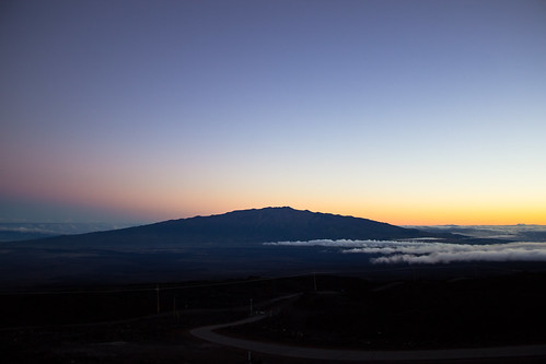
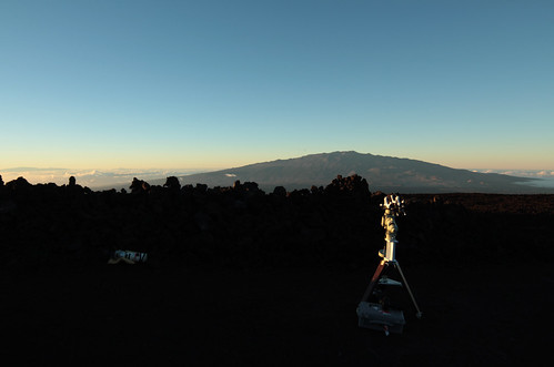
Elevation of Mauna Loa, South Kona, HI, USA
Location: United States > Hawaii > Hawaii County > Volcano >
Longitude: -155.59220
Latitude: 19.4721389
Elevation: 3985m / 13074feet
Barometric Pressure: 62KPa
Related Photos:
Topographic Map of Mauna Loa, South Kona, HI, USA
Find elevation by address:

Places near Mauna Loa, South Kona, HI, USA:
Mauna Loa
Mauna Loa Observatory
Hawaii County
Hilo
Island Of Hawai'i
92-7400
82-1239
96-1034 Center Rd
South Kona
82-1239
Mamalahoa Highway
Ka'u
83 Hawaii Belt Rd
96-3132
83-5457 Mamalahoa Hwy
83-5412a Middle Keei Rd
83-5410 Middle Keei Rd
Pahala
83 Hawaii Belt Rd
84-4903
Recent Searches:
- Elevation of Corso Fratelli Cairoli, 35, Macerata MC, Italy
- Elevation of Tallevast Rd, Sarasota, FL, USA
- Elevation of 4th St E, Sonoma, CA, USA
- Elevation of Black Hollow Rd, Pennsdale, PA, USA
- Elevation of Oakland Ave, Williamsport, PA, USA
- Elevation of Pedrógão Grande, Portugal
- Elevation of Klee Dr, Martinsburg, WV, USA
- Elevation of Via Roma, Pieranica CR, Italy
- Elevation of Tavkvetili Mountain, Georgia
- Elevation of Hartfords Bluff Cir, Mt Pleasant, SC, USA


