Elevation map of Matutuíne District, Mozambique
Location: Mozambique > Maputo Province >
Longitude: 32.5372741
Latitude: -26.601728
Elevation: 97m / 318feet
Barometric Pressure: 100KPa
Elevation Map:
Satellite Map:
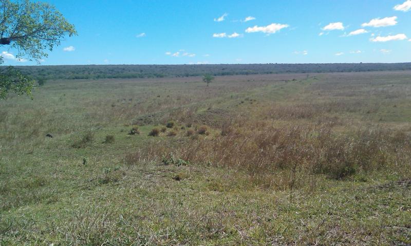
Related Photos:
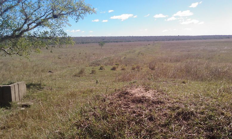
Previous rice field

Rice field
Rice field

Pump station (abandoned)

Rice project headquarter

Rice Project headquarter
Topographic Map of Matutuíne District, Mozambique
Find elevation by address:

Places in Matutuíne District, Mozambique:
Places near Matutuíne District, Mozambique:
Anand Ashram Salamanga
Tembe
Gaômo
Machate
Maputo Special Reserve
South African High Commission
Eduardo Mondlane
Machava
Escola Primária De Beluluane
Maputo
Farmácia Albasine
Maputo City
Manhica
Recent Searches:
- Elevation of Corso Fratelli Cairoli, 35, Macerata MC, Italy
- Elevation of Tallevast Rd, Sarasota, FL, USA
- Elevation of 4th St E, Sonoma, CA, USA
- Elevation of Black Hollow Rd, Pennsdale, PA, USA
- Elevation of Oakland Ave, Williamsport, PA, USA
- Elevation of Pedrógão Grande, Portugal
- Elevation of Klee Dr, Martinsburg, WV, USA
- Elevation of Via Roma, Pieranica CR, Italy
- Elevation of Tavkvetili Mountain, Georgia
- Elevation of Hartfords Bluff Cir, Mt Pleasant, SC, USA