Elevation of Mattocks Ave, Maysville, NC, USA
Location: United States > North Carolina > Onslow County > White Oak > Maysville >
Longitude: -77.230119
Latitude: 34.9047189
Elevation: 12m / 39feet
Barometric Pressure: 101KPa
Elevation Map:
Satellite Map:
Related Photos:
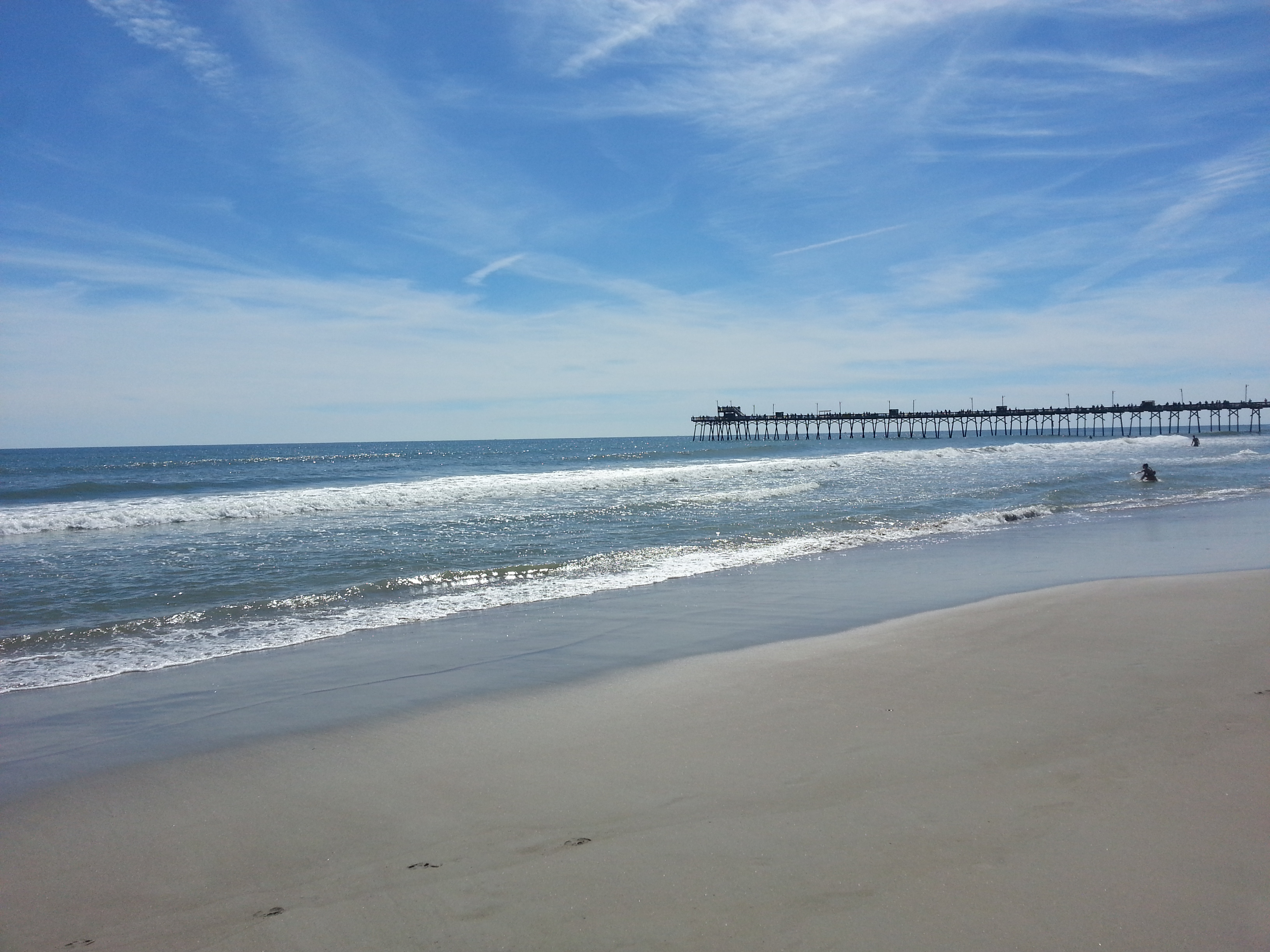
Pier in Emerald Isle, NC
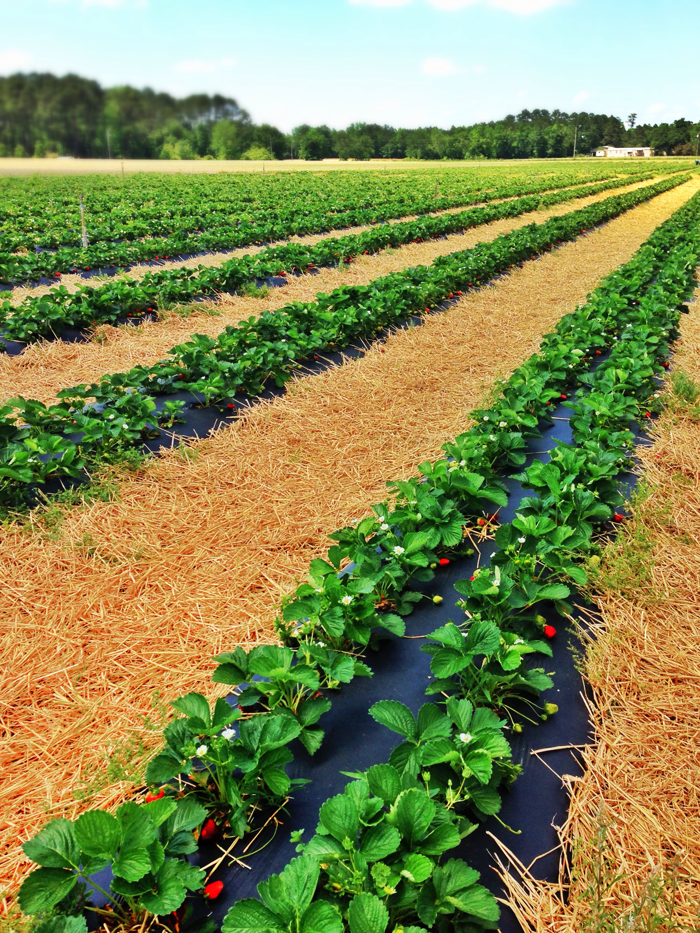
Strawberries Fields Forever
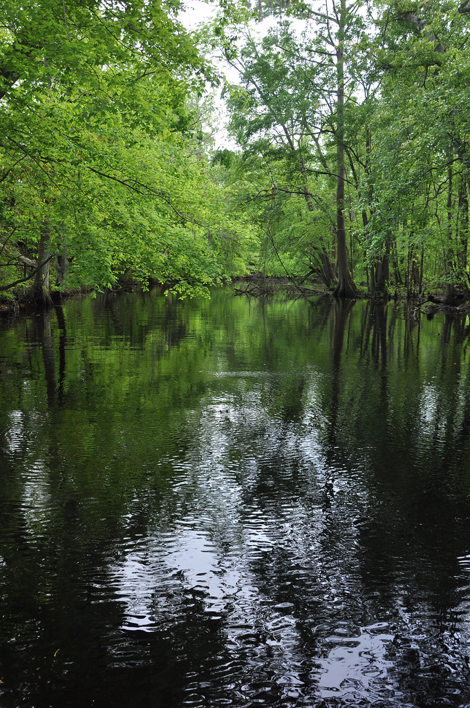
Creek flowing into Trent River

island Creek Trail
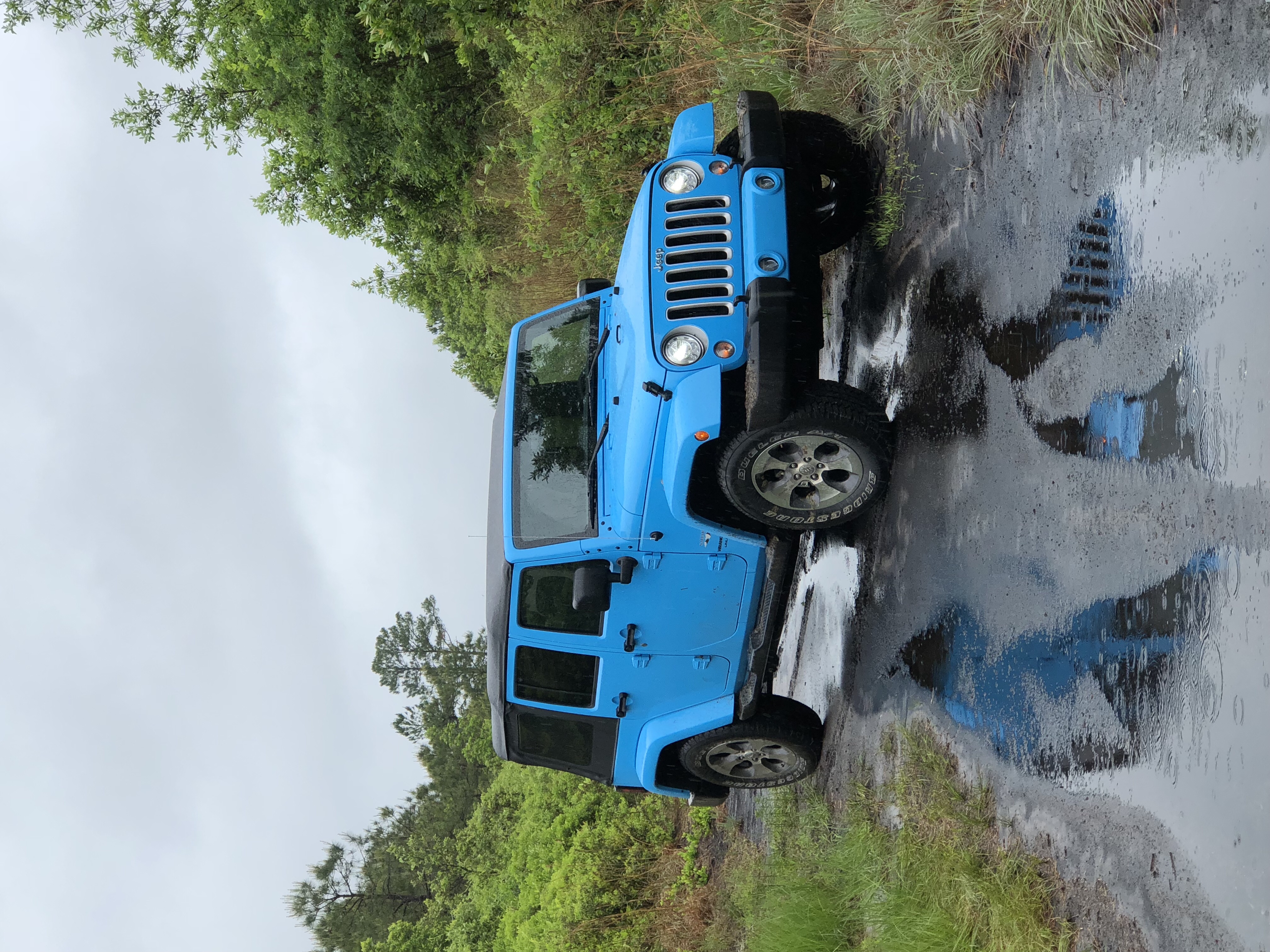
Out in the trails
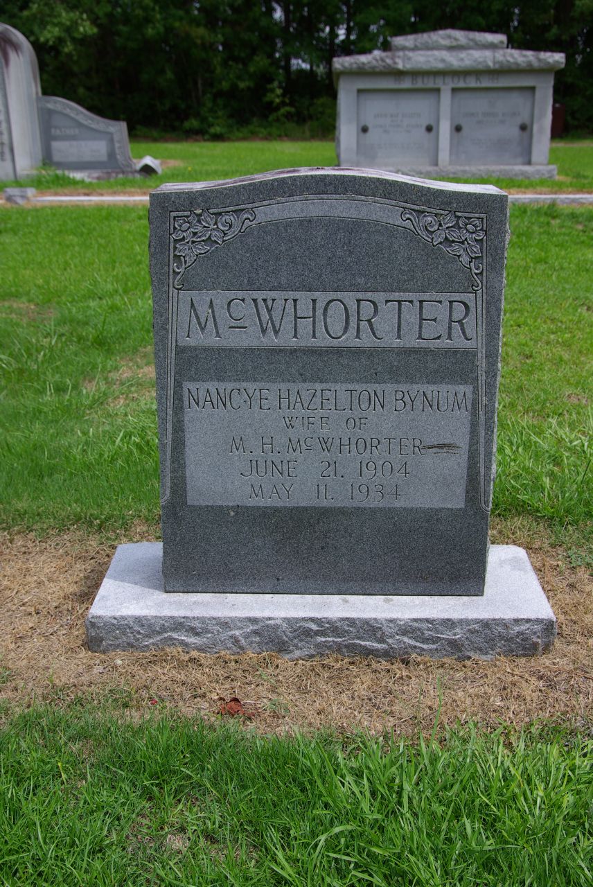
White Oak: McWhorter, Nancye
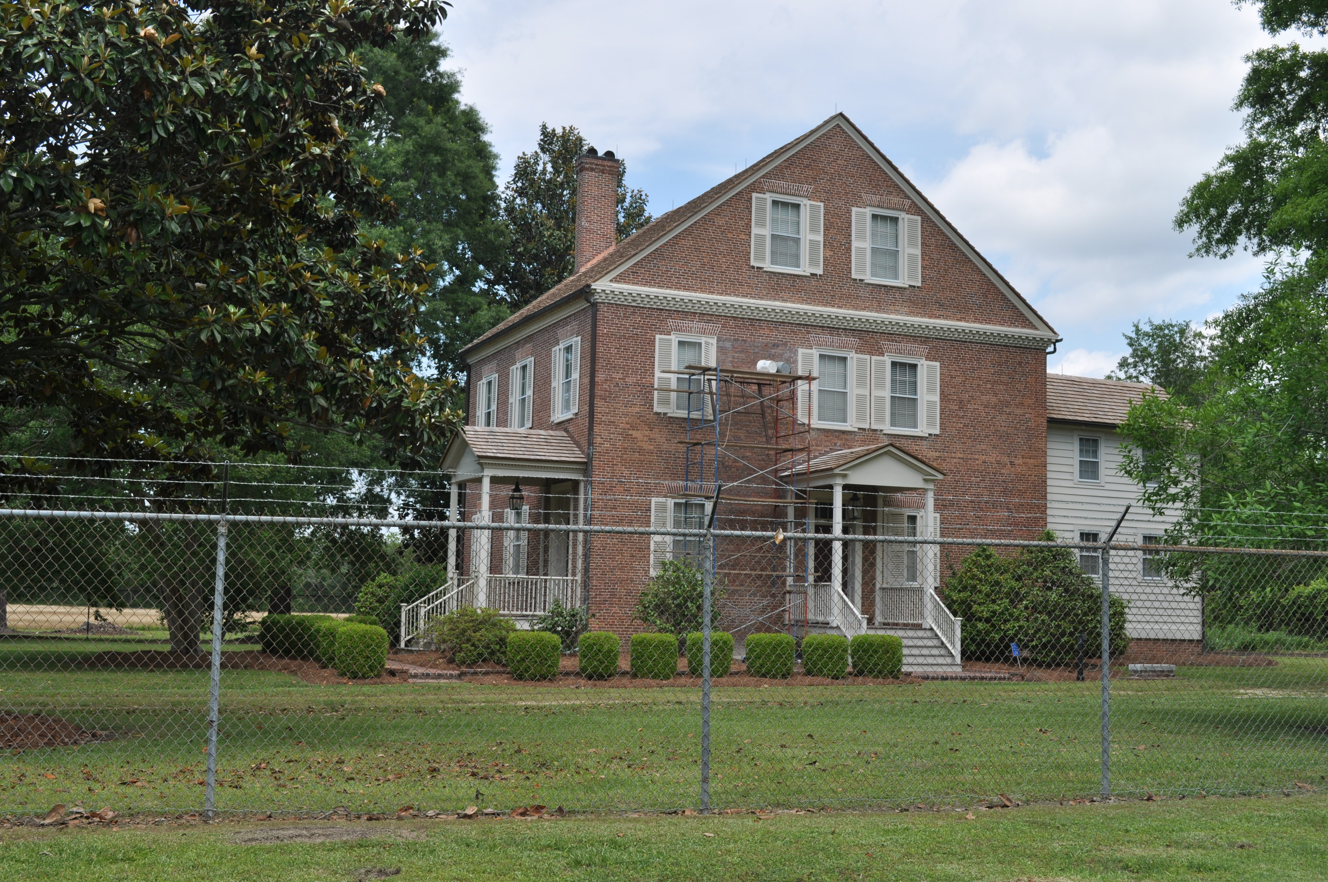
0546 House on Foscue Plantation Img_18700
Topographic Map of Mattocks Ave, Maysville, NC, USA
Find elevation by address:

Places near Mattocks Ave, Maysville, NC, USA:
Maysville
Belgrade Rd, Maysville, NC, USA
131 Lassiter Rd
2636 Belgrade-swansboro Rd
US-17, Pollocksville, NC, USA
1472 Deppe Loop Rd
1190 Deppe Loop Rd
Riggs Rd, Maysville, NC, USA
192 Riggs Dr
470 Riggs Ln
1736 Riggs Rd
2, Pollocksville
300 Trent St
Pollocksville
310 2nd St
203 Main St
Belgrade-Swansboro Rd, Maysville, NC, USA
406 Foy St
113 Main St
1439 Davis Field Rd
Recent Searches:
- Elevation of Corso Fratelli Cairoli, 35, Macerata MC, Italy
- Elevation of Tallevast Rd, Sarasota, FL, USA
- Elevation of 4th St E, Sonoma, CA, USA
- Elevation of Black Hollow Rd, Pennsdale, PA, USA
- Elevation of Oakland Ave, Williamsport, PA, USA
- Elevation of Pedrógão Grande, Portugal
- Elevation of Klee Dr, Martinsburg, WV, USA
- Elevation of Via Roma, Pieranica CR, Italy
- Elevation of Tavkvetili Mountain, Georgia
- Elevation of Hartfords Bluff Cir, Mt Pleasant, SC, USA