Elevation map of Matrouh Governorate, Egypt
Location: Egypt >
Longitude: 26.419389
Latitude: 29.569635
Elevation: 92m / 302feet
Barometric Pressure: 100KPa
Elevation Map:
Satellite Map:
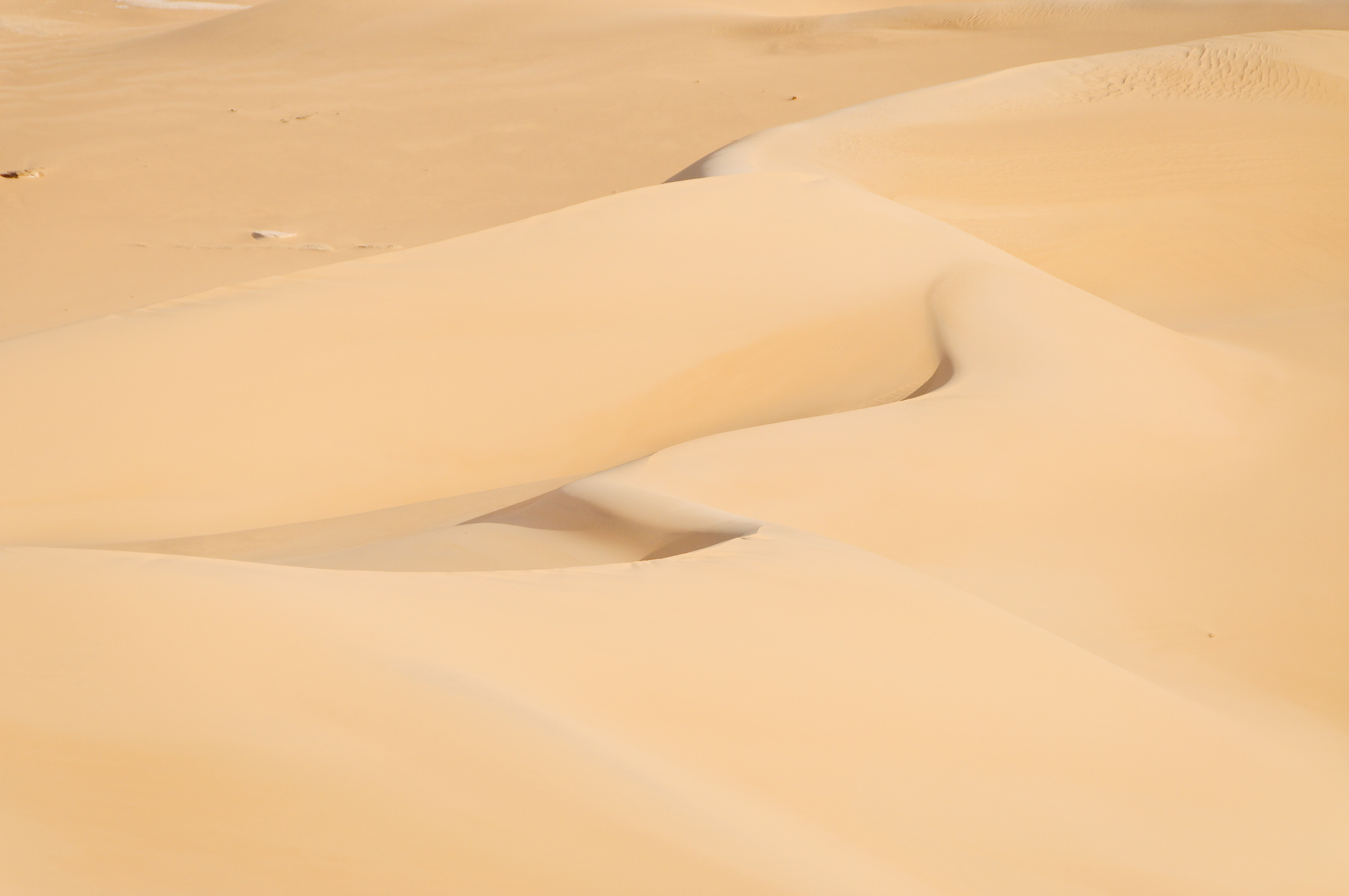
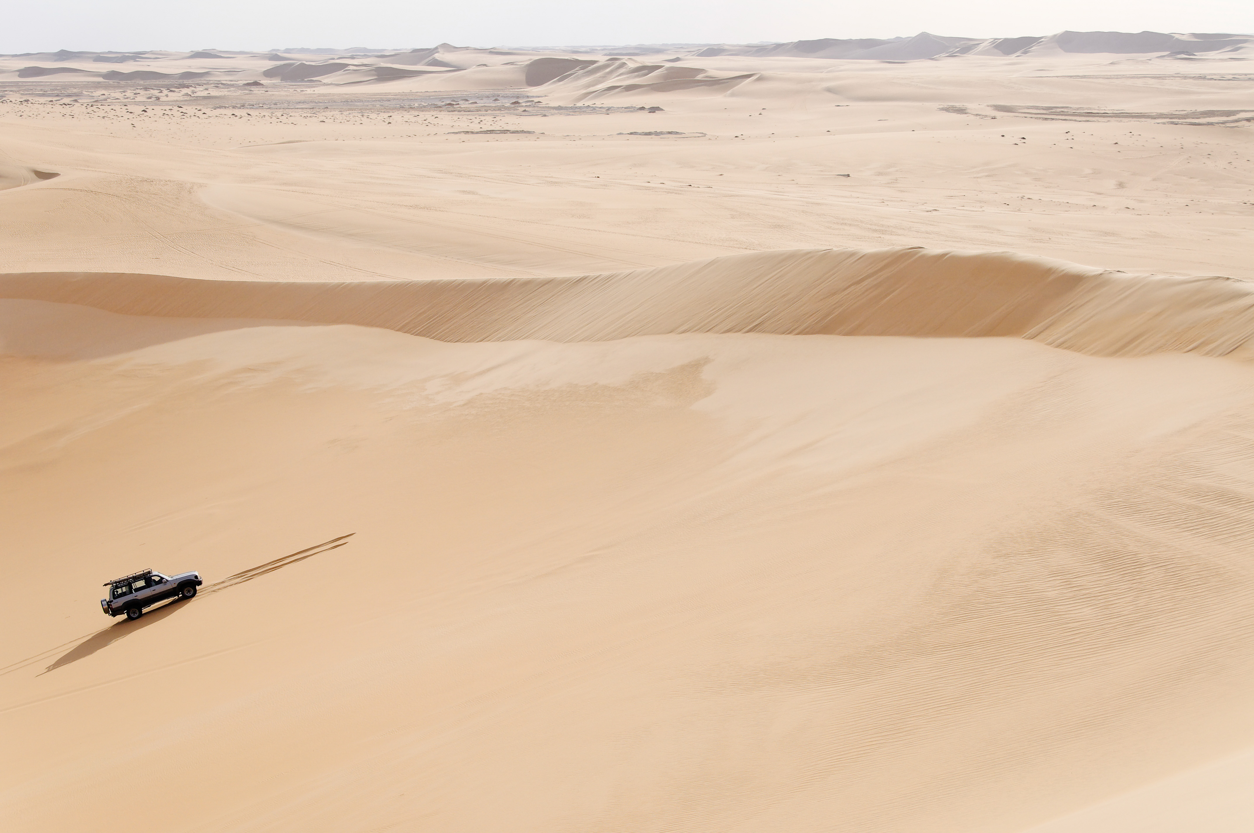
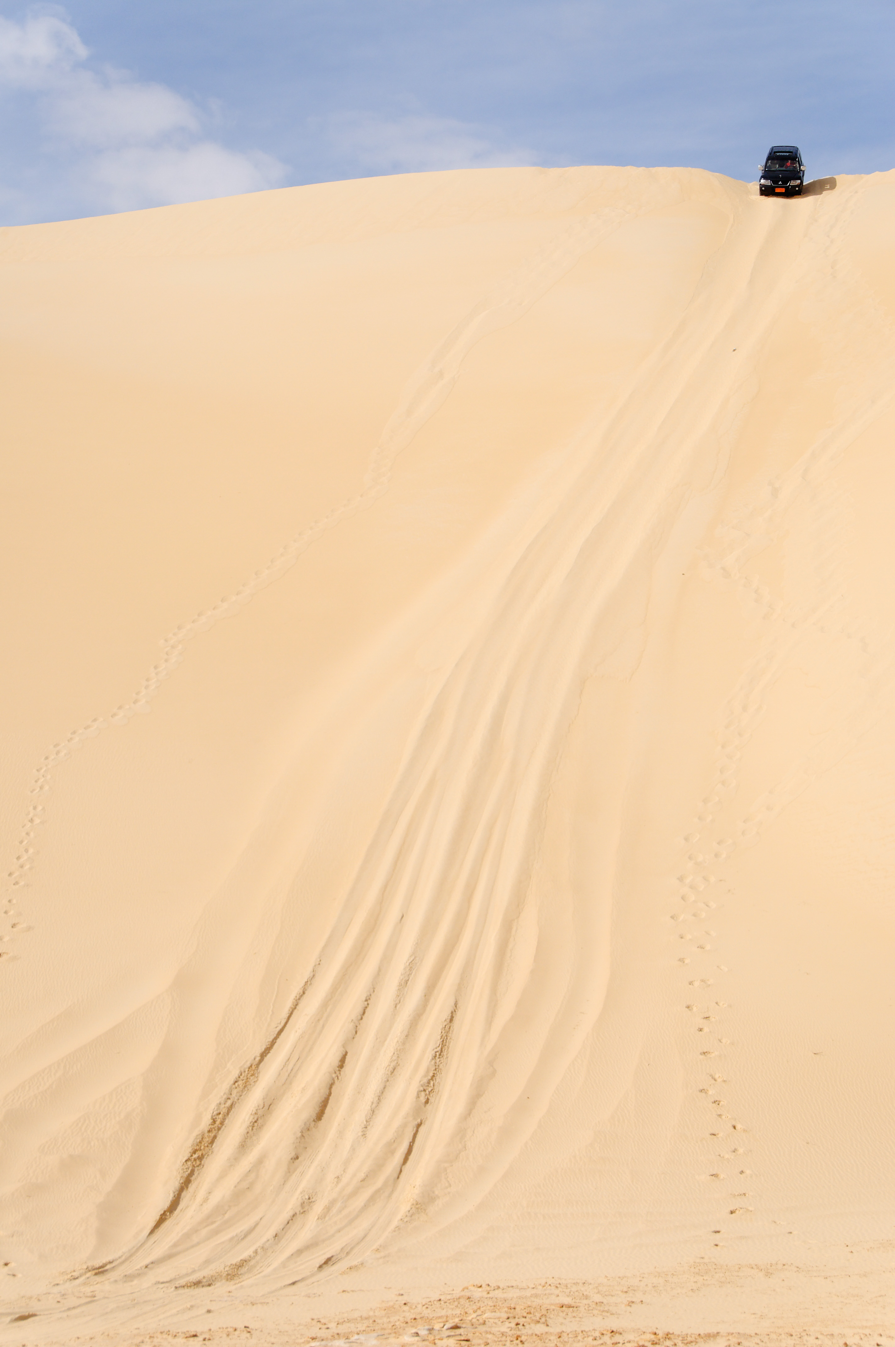
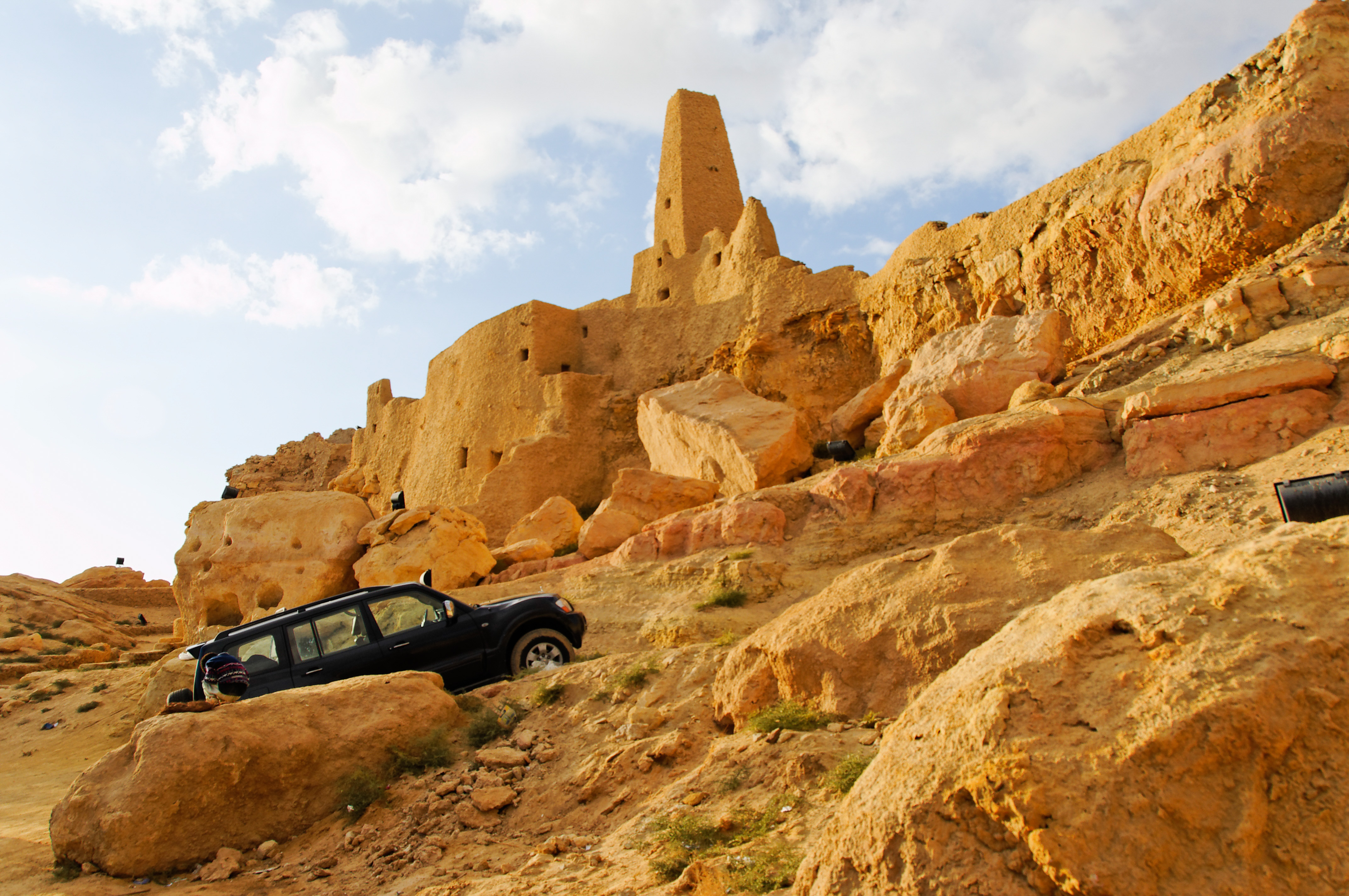
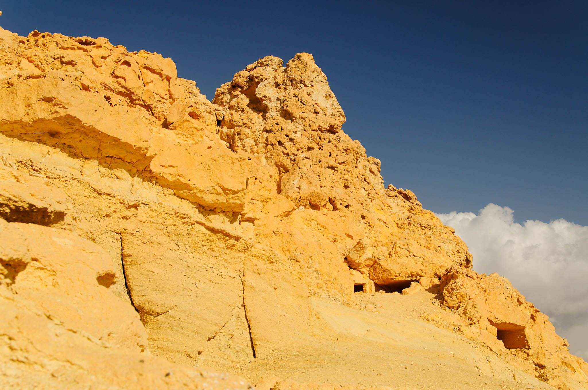
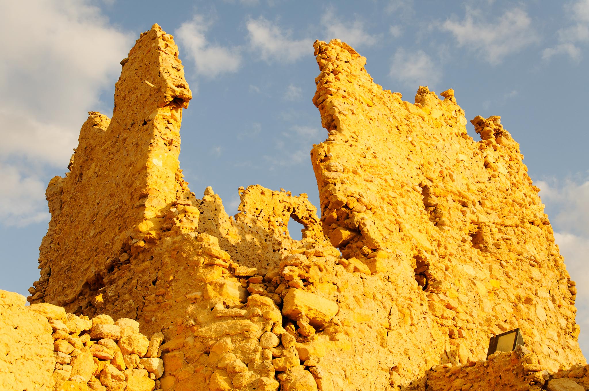
Related Photos:

Ras Abu Laho
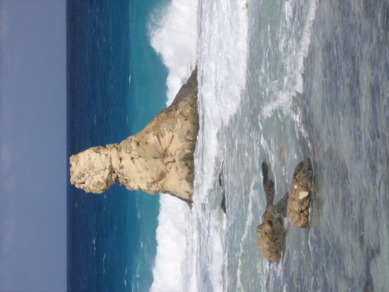
the bizarre bust at cleopatra beach, matrouh governorate

Cleopatra beach.jpg

2008.12.31 16.03.12.jpg

2008.12.31 14.45.10.jpg
2008.12.31 14.36.34.jpg

2008.12.31 16.07.52.jpg
2008.12.31 14.37.30.jpg
2008.12.31 12.02.28.jpg
2008.12.30 15.16.02.jpg

2008.12.30 14.02.17.jpg

2008.12.31 16.05.24.jpg
2008.12.30 14.07.16.jpg
2008.12.30 15.46.48.jpg

Mersa Matruh - Egypt
Topographic Map of Matrouh Governorate, Egypt
Find elevation by address:

Places in Matrouh Governorate, Egypt:
Places near Matrouh Governorate, Egypt:
Recent Searches:
- Elevation of Corso Fratelli Cairoli, 35, Macerata MC, Italy
- Elevation of Tallevast Rd, Sarasota, FL, USA
- Elevation of 4th St E, Sonoma, CA, USA
- Elevation of Black Hollow Rd, Pennsdale, PA, USA
- Elevation of Oakland Ave, Williamsport, PA, USA
- Elevation of Pedrógão Grande, Portugal
- Elevation of Klee Dr, Martinsburg, WV, USA
- Elevation of Via Roma, Pieranica CR, Italy
- Elevation of Tavkvetili Mountain, Georgia
- Elevation of Hartfords Bluff Cir, Mt Pleasant, SC, USA