Elevation map of Masurian Lake District, Poland
Location: Poland > Warmian-masurian Voivodeship >
Longitude: 20.4528371
Latitude: 53.5494905
Elevation: -10000m / -32808feet
Barometric Pressure: 295KPa
Elevation Map:
Satellite Map:
Related Photos:

magic silence

Sunset on Warnia, Poland.

Beer is your best friend

Lime on the water

.

#europe

Przeplatka atalia

leśne jeziorko

DSC08337-2

2015-07-19 08.17.49
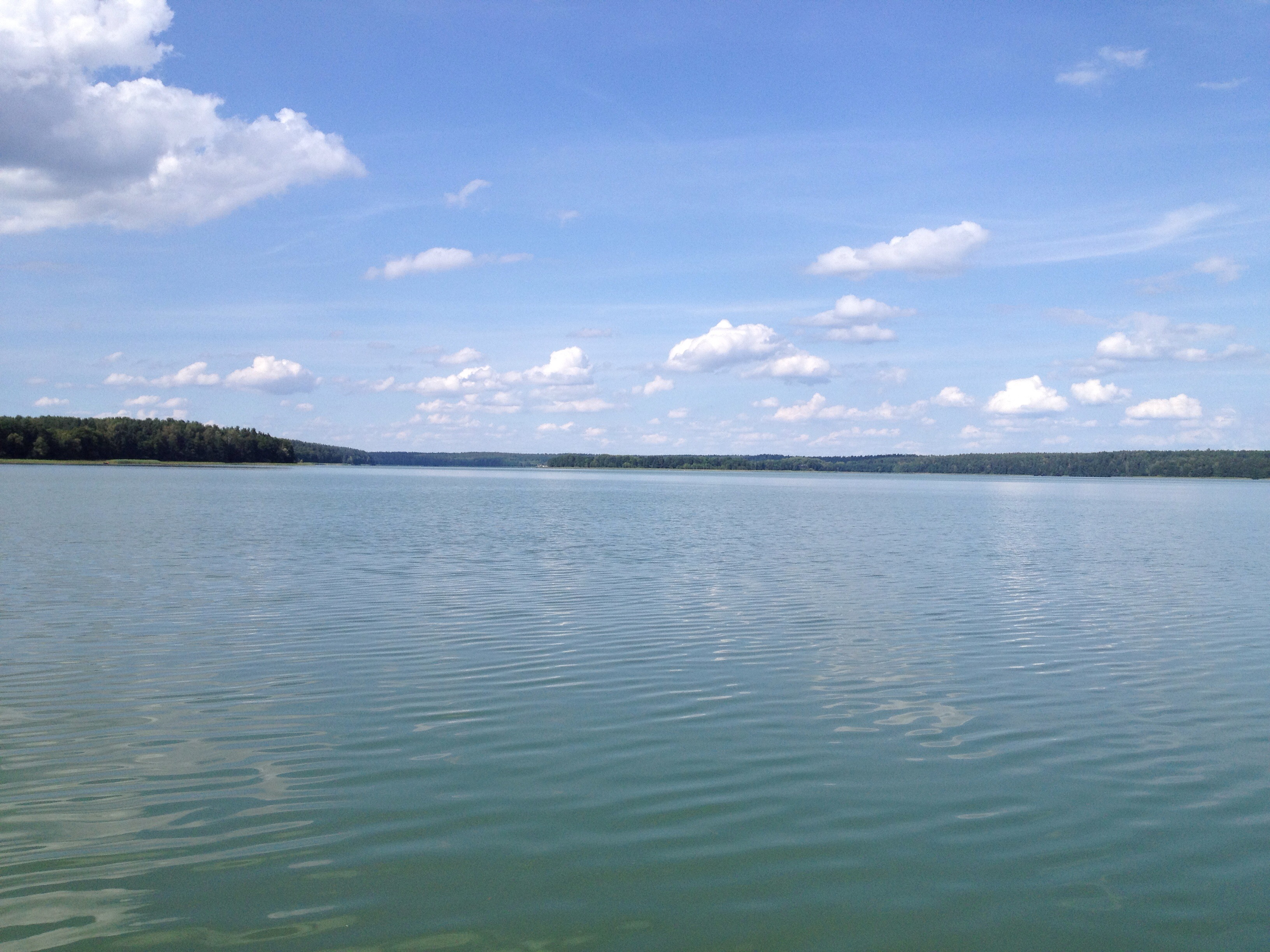
jezioro Łańskie
Topographic Map of Masurian Lake District, Poland
Find elevation by address:

Places near Masurian Lake District, Poland:
Bałdy
Żołnierska 18
Olsztyn
Olsztyn County
Gmina Purda
Olsztyński
Warmian-masurian Voivodeship
Braniewo County
Rusy
Moskovskiy Rayon
Kaliningrad Stadium
Gorod Kaliningrad
Kaliningrad
Recent Searches:
- Elevation of Corso Fratelli Cairoli, 35, Macerata MC, Italy
- Elevation of Tallevast Rd, Sarasota, FL, USA
- Elevation of 4th St E, Sonoma, CA, USA
- Elevation of Black Hollow Rd, Pennsdale, PA, USA
- Elevation of Oakland Ave, Williamsport, PA, USA
- Elevation of Pedrógão Grande, Portugal
- Elevation of Klee Dr, Martinsburg, WV, USA
- Elevation of Via Roma, Pieranica CR, Italy
- Elevation of Tavkvetili Mountain, Georgia
- Elevation of Hartfords Bluff Cir, Mt Pleasant, SC, USA