Elevation of Marys River Ranch, Wells, NV, USA
Location: United States > Nevada > Wells >
Longitude: -115.15570
Latitude: 41.362645
Elevation: 1764m / 5787feet
Barometric Pressure: 82KPa
Elevation Map:
Satellite Map:
Related Photos:
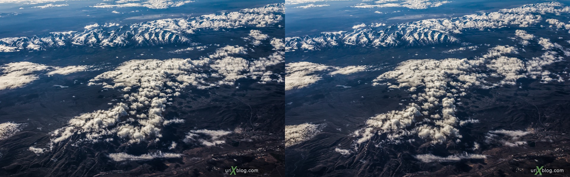
Rocky mountains, USA, CrossView
Topographic Map of Marys River Ranch, Wells, NV, USA
Find elevation by address:

Places near Marys River Ranch, Wells, NV, USA:
Antelope Peak
Elko County
Welcome Frontage Rd, Wells, NV, USA
Wells
Angel Lake Road
Angel Lake
Gods Pocket Peak
Ellen D Mountain
Secret Peak
Knoll Mountain
Oasis
US-93, Jackpot, NV, USA
Jackpot
2301 Ace Dr
3 Creek Rd, Rogerson, ID, USA
Murdock Mountain
Toano Range Hp
Montello
Jackson Mines
Death Valley
Recent Searches:
- Elevation of Corso Fratelli Cairoli, 35, Macerata MC, Italy
- Elevation of Tallevast Rd, Sarasota, FL, USA
- Elevation of 4th St E, Sonoma, CA, USA
- Elevation of Black Hollow Rd, Pennsdale, PA, USA
- Elevation of Oakland Ave, Williamsport, PA, USA
- Elevation of Pedrógão Grande, Portugal
- Elevation of Klee Dr, Martinsburg, WV, USA
- Elevation of Via Roma, Pieranica CR, Italy
- Elevation of Tavkvetili Mountain, Georgia
- Elevation of Hartfords Bluff Cir, Mt Pleasant, SC, USA