Elevation of Martin Prairie Rd, Pritchard, BC V0E 2P0, Canada
Location: Canada > British Columbia > Thompson-nicola > Thompson-nicola L > Pritchard >
Longitude: -119.77999
Latitude: 50.6680482
Elevation: 680m / 2231feet
Barometric Pressure: 93KPa
Elevation Map:
Satellite Map:
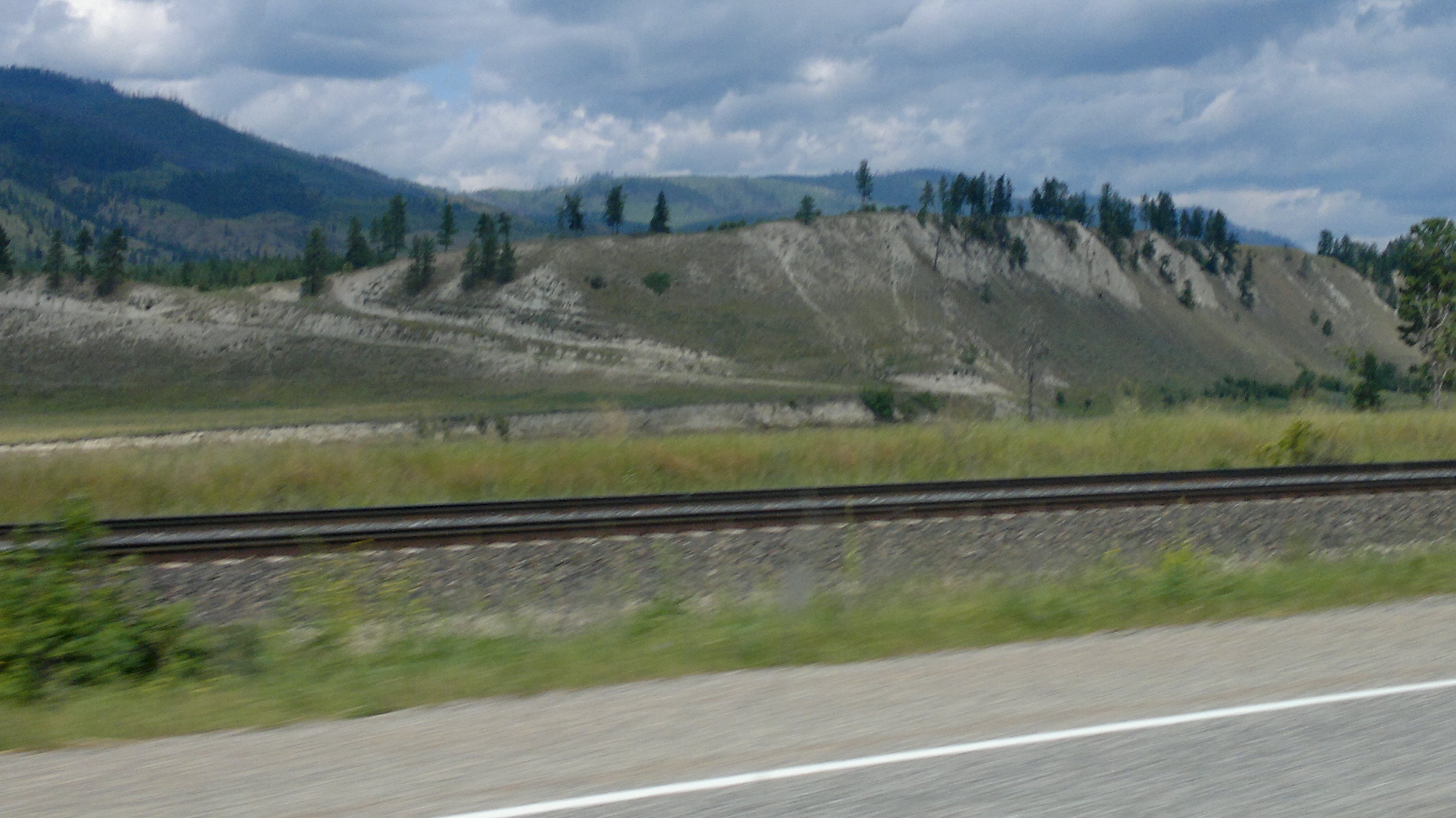
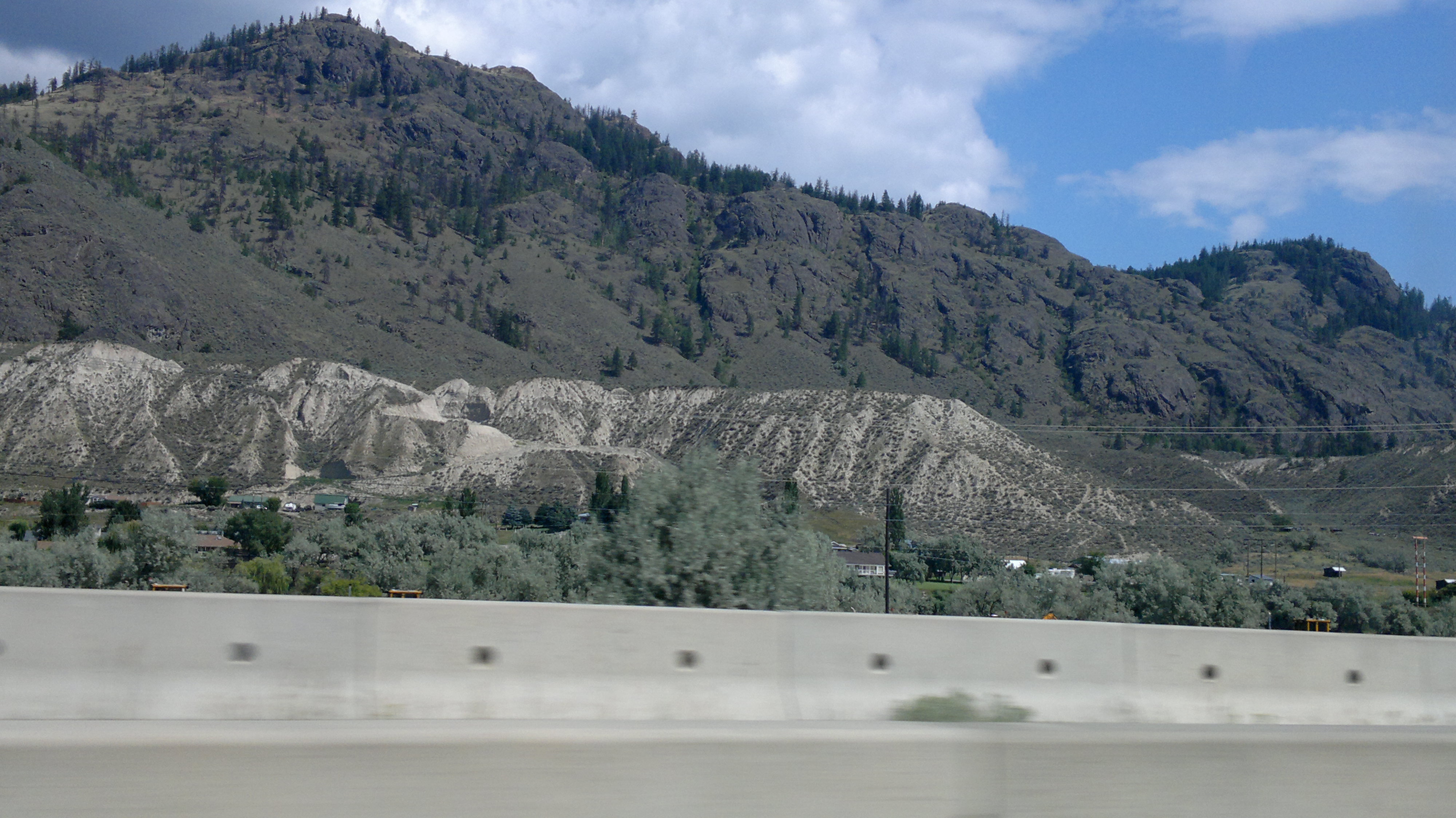
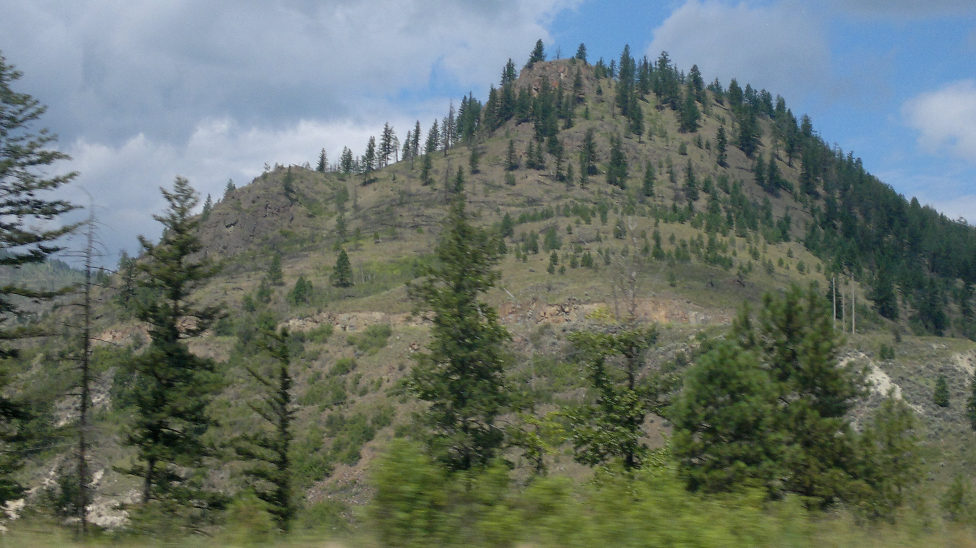
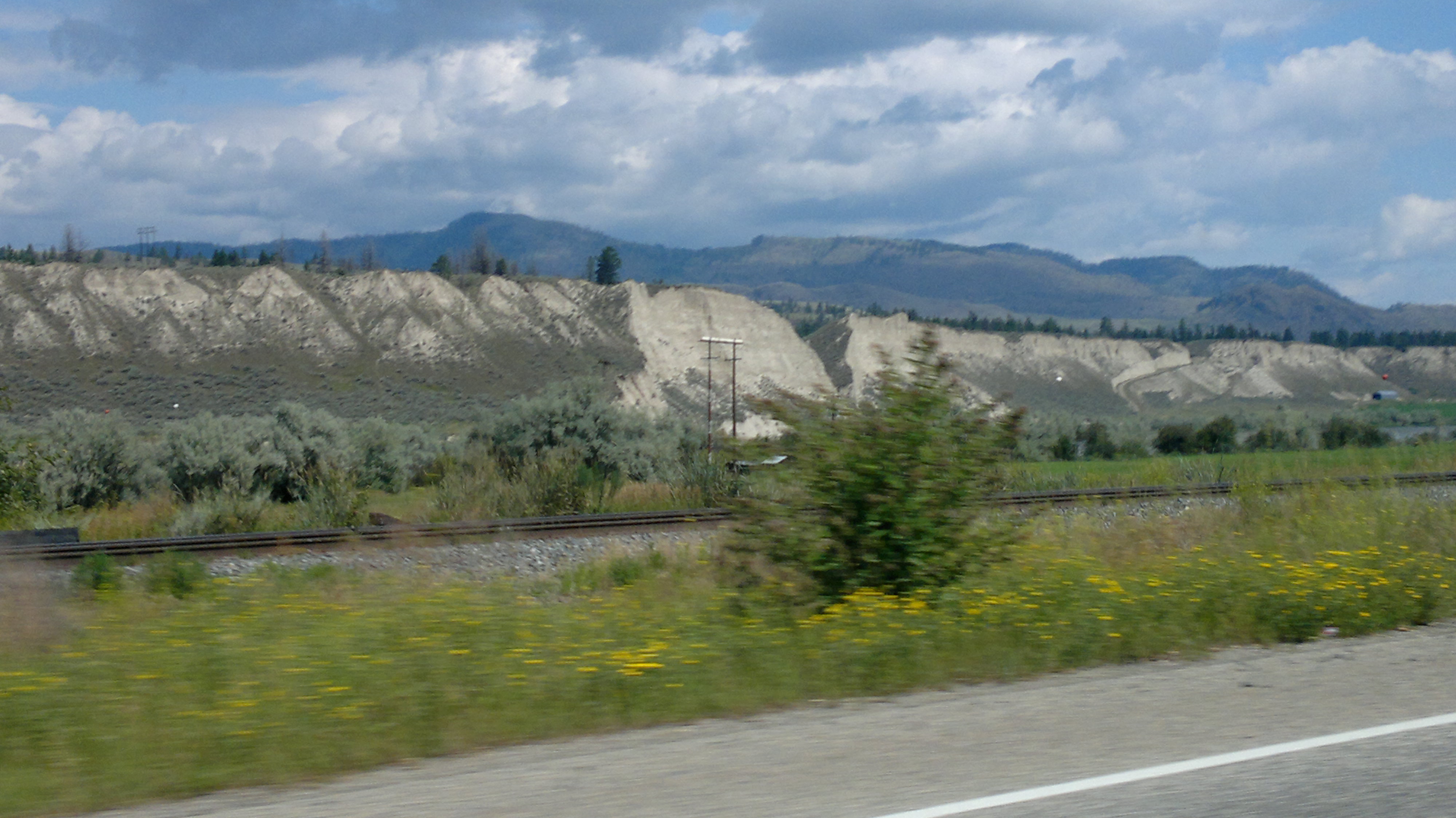
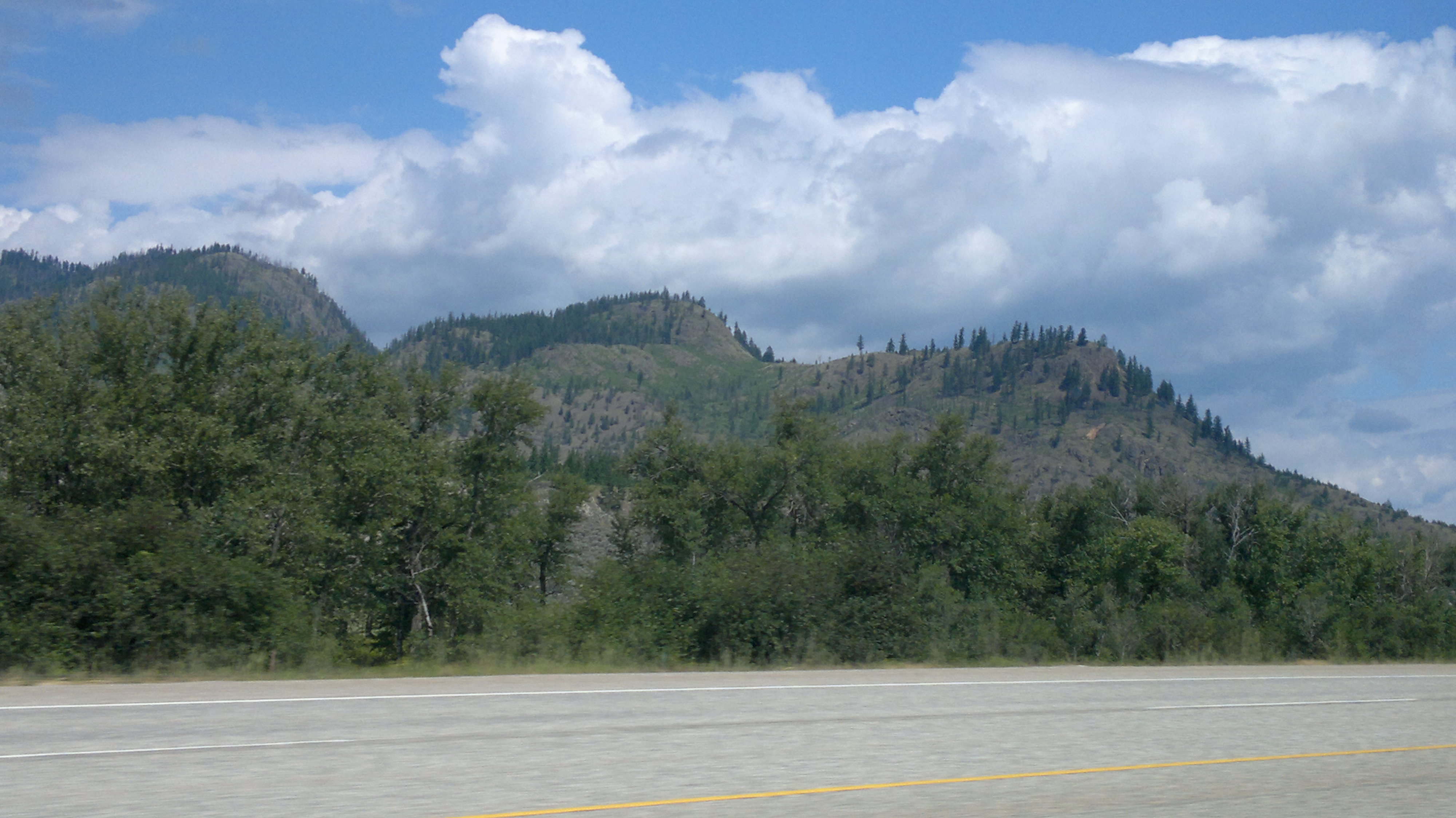
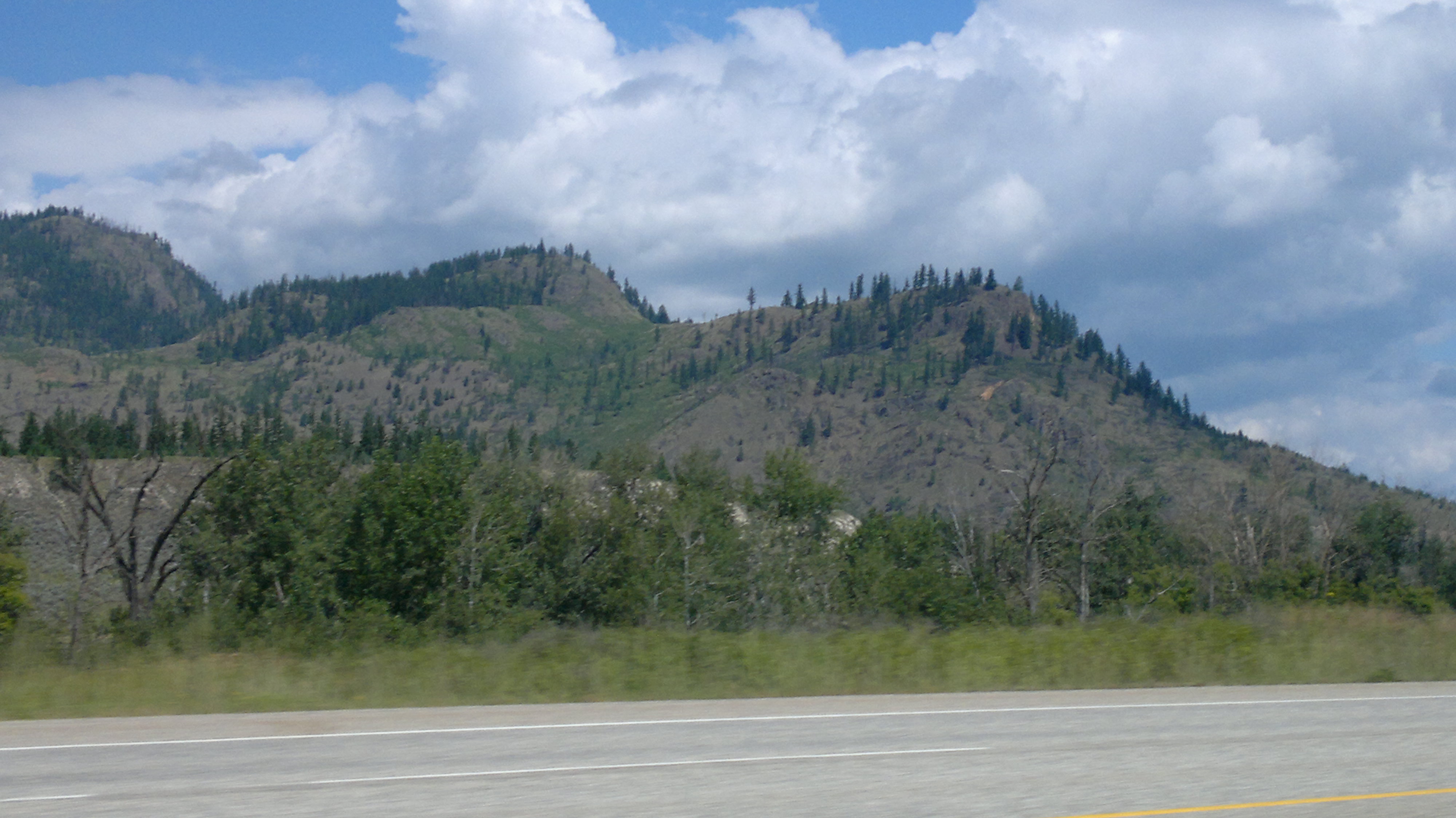
Related Photos:
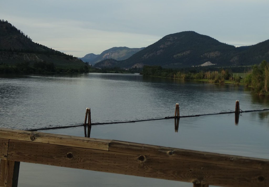
Day 20. Trans-Canada Bicycle Trip. Pritchard, British Columbia, Canada. View from the bridge over the South Thompson River at Pritchard.

Thompson river, Pritchard, BC, Canada

8909 Locomotive

CP 8792
Six Years Later
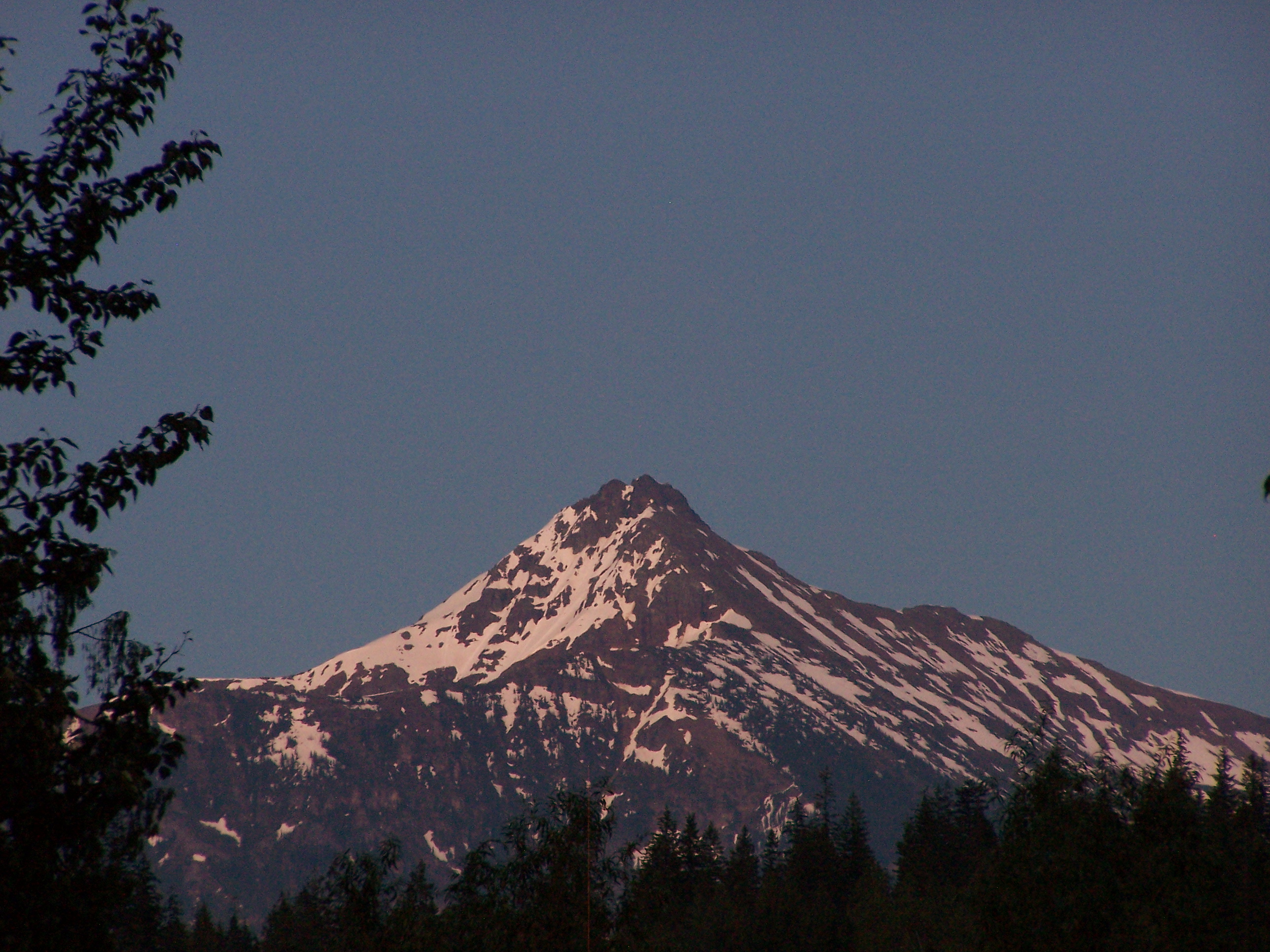
Mount Revelstoke
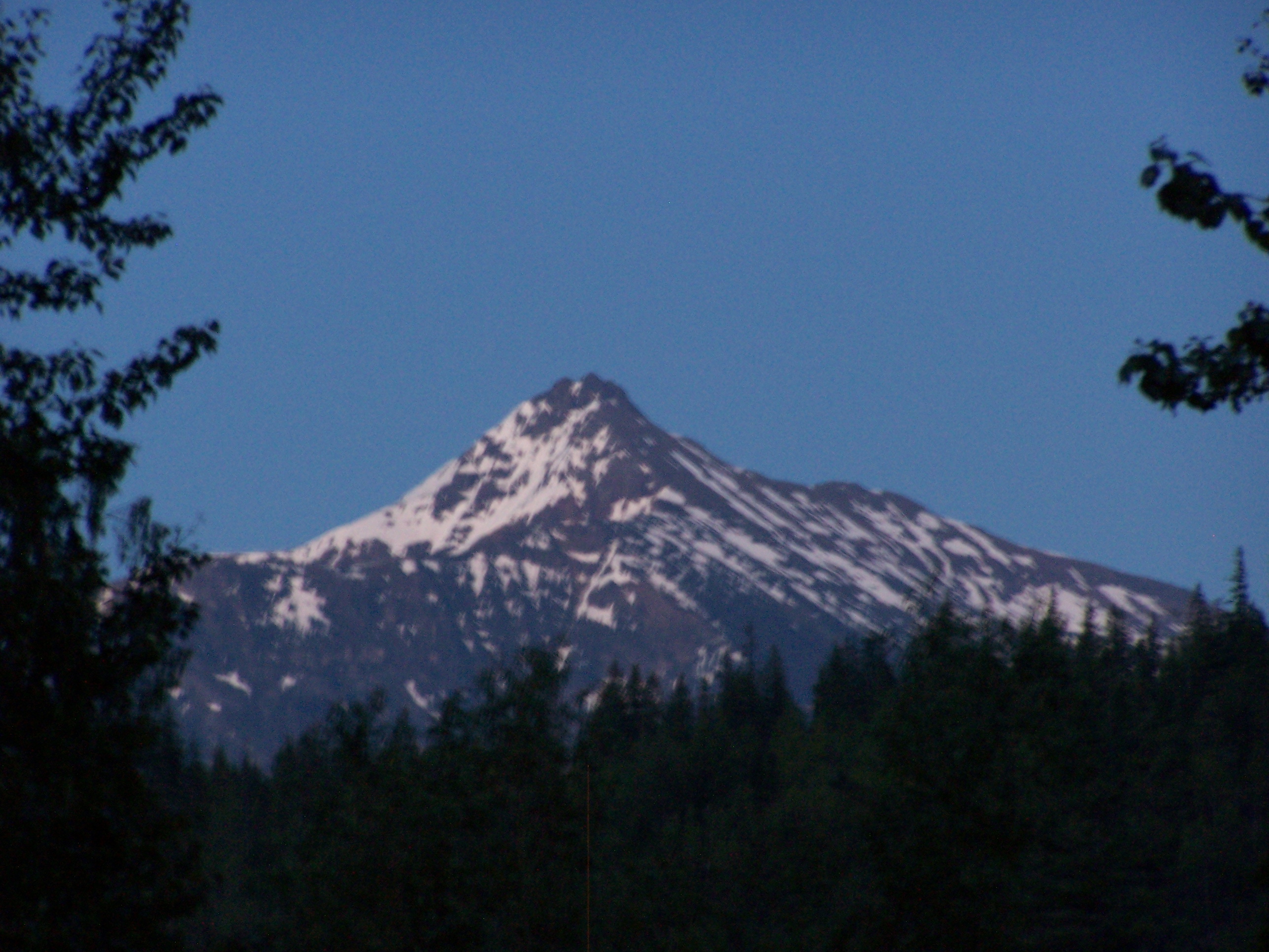
Mount Revelstoke

2012-07-28-7476

2012-07-28-7476

2012-07-28-7457
2012-07-28-7465
2012-07-28-7439

2012-07-28-7465

2012-07-28-7439

2012-07-28-7466

Kanada_06_487_Hwy 1

2012-07-28-7447
2012-07-28-7462
2012-07-28-7447
2012-07-28-7457
2012-07-28-7458
Topographic Map of Martin Prairie Rd, Pritchard, BC V0E 2P0, Canada
Find elevation by address:

Places near Martin Prairie Rd, Pritchard, BC V0E 2P0, Canada:
2304 Martin Prairie Rd
2400 Martin Prairie Rd
2400 Martin Prairie Rd
2500 Martin Prairie Rd
2600 Martin Prairie Rd
2404 Martin Prairie Rd
2404 Martin Prairie Rd
3000 Martin Prairie Rd
Martin Prairie Road
2123 Martin Prairie Rd
1803 Martin Prairie Rd
4641 Martin Creek Rd
1805 Laveau Rd
4696 Cober Rd
1627 Laveau Rd
Silver Birch Lane
3211 Silver Birch Ln
4763 Cory Rd
4828 Cory Rd
4651 Stoney Flats Rd
Recent Searches:
- Elevation of Corso Fratelli Cairoli, 35, Macerata MC, Italy
- Elevation of Tallevast Rd, Sarasota, FL, USA
- Elevation of 4th St E, Sonoma, CA, USA
- Elevation of Black Hollow Rd, Pennsdale, PA, USA
- Elevation of Oakland Ave, Williamsport, PA, USA
- Elevation of Pedrógão Grande, Portugal
- Elevation of Klee Dr, Martinsburg, WV, USA
- Elevation of Via Roma, Pieranica CR, Italy
- Elevation of Tavkvetili Mountain, Georgia
- Elevation of Hartfords Bluff Cir, Mt Pleasant, SC, USA