Elevation of Marshland Rd, Apalachin, NY, USA
Location: United States > New York > Tioga County > Owego > Apalachin >
Longitude: -76.200719
Latitude: 42.085225
Elevation: 250m / 820feet
Barometric Pressure: 98KPa
Elevation Map:
Satellite Map:
Related Photos:

My Little

Super Blood Wolf Moon Rising

From Life to Death and Everything in Between

DJI_0113_View from a drone....toward evening..

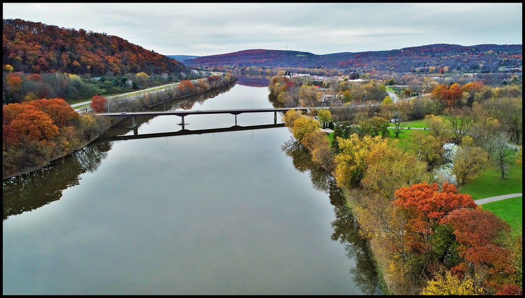
DJI_0147-View from the drone...across the river

DJI_0407_View from the drone...Down river under blue skies and white clouds
DJI_0126_View from the drone....down river

DJI_0005_view from a drone..as Fall settles in. Practicing with a new drone.

View from the drone...Like an eye toward the sky.

View from the drone......Island in the stream.
View from a drone...

DJI_0518_View from the drone. Sky above the earth below 2.

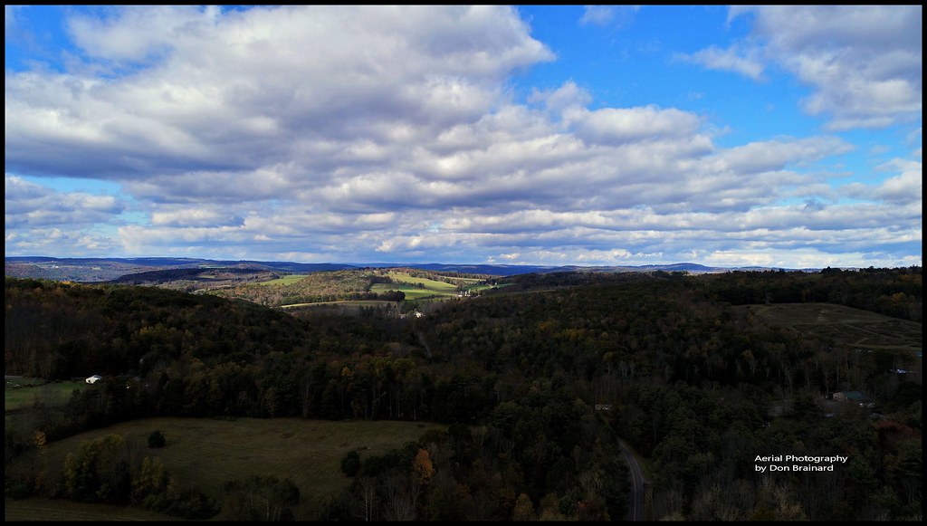
DJI_0037view from the drone.....out in the countryside in late October.

DJI_0031-view from a drone....with storm clouds rolling in and the early signs of Fall.

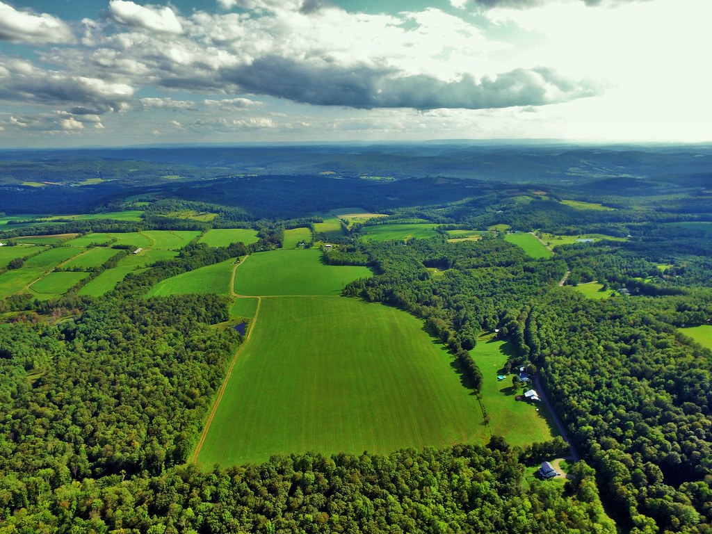
DJI_0142-View from the drone. a working farm
DJI_0010-View from the drone...over where the sun shines through.

DJI_0203_View from the drone...A working farm

DJI_0526_Follow the Sun. Sky above earth below. View from a drone.

View from the drone...chasing the sunlight with a cotton candy monster!

DJI_0163_View from the drone....a drone in a tree

DJI_0027_View from the drone.....Spectacular
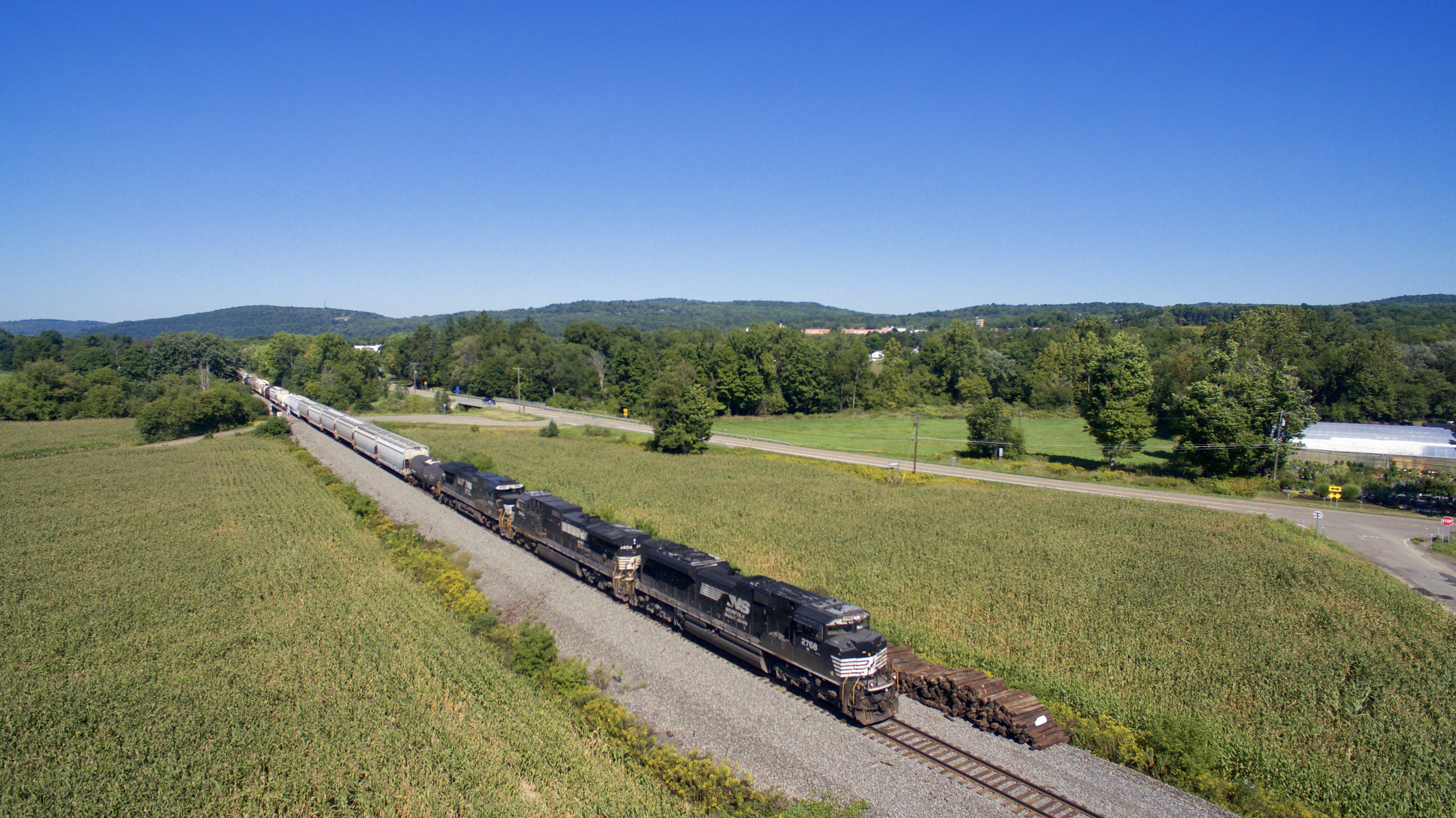
NS 2768

NS 9645

NS 7291

NS 6979

Mist In The Valley

Mist In The Valley

View of flood from Roundtop park Endicott 2011

Common Redpoll
Topographic Map of Marshland Rd, Apalachin, NY, USA
Find elevation by address:

Places near Marshland Rd, Apalachin, NY, USA:
Owego
618 Mc Henry Rd
103 Hazel Terrace
37 Holmes Ave
26 Gary Dr
East Marshland Road
Chestnut Ridge Road
Apalachin
Main St, Apalachin, NY, USA
35 King Point Cir
535 E Front St
2642 Lisle Rd
Lisle Road
Campville
2 Winey Wood
2770 Chestnut Ridge Rd
9 Orchard Ave
1564 E Beecher Hill Rd
Montrose Turnpike, Owego, NY, USA
186 Front St
Recent Searches:
- Elevation of Corso Fratelli Cairoli, 35, Macerata MC, Italy
- Elevation of Tallevast Rd, Sarasota, FL, USA
- Elevation of 4th St E, Sonoma, CA, USA
- Elevation of Black Hollow Rd, Pennsdale, PA, USA
- Elevation of Oakland Ave, Williamsport, PA, USA
- Elevation of Pedrógão Grande, Portugal
- Elevation of Klee Dr, Martinsburg, WV, USA
- Elevation of Via Roma, Pieranica CR, Italy
- Elevation of Tavkvetili Mountain, Georgia
- Elevation of Hartfords Bluff Cir, Mt Pleasant, SC, USA