Elevation of Marsh Rd, Adams, NY, USA
Location: United States > New York > Jefferson County > Lorraine >
Longitude: -75.974611
Latitude: 43.7235919
Elevation: 310m / 1017feet
Barometric Pressure: 98KPa
Elevation Map:
Satellite Map:
Related Photos:

60 Years

1,000,000 views!
Pic-0024

Blue Glow

Inside a Rainbow
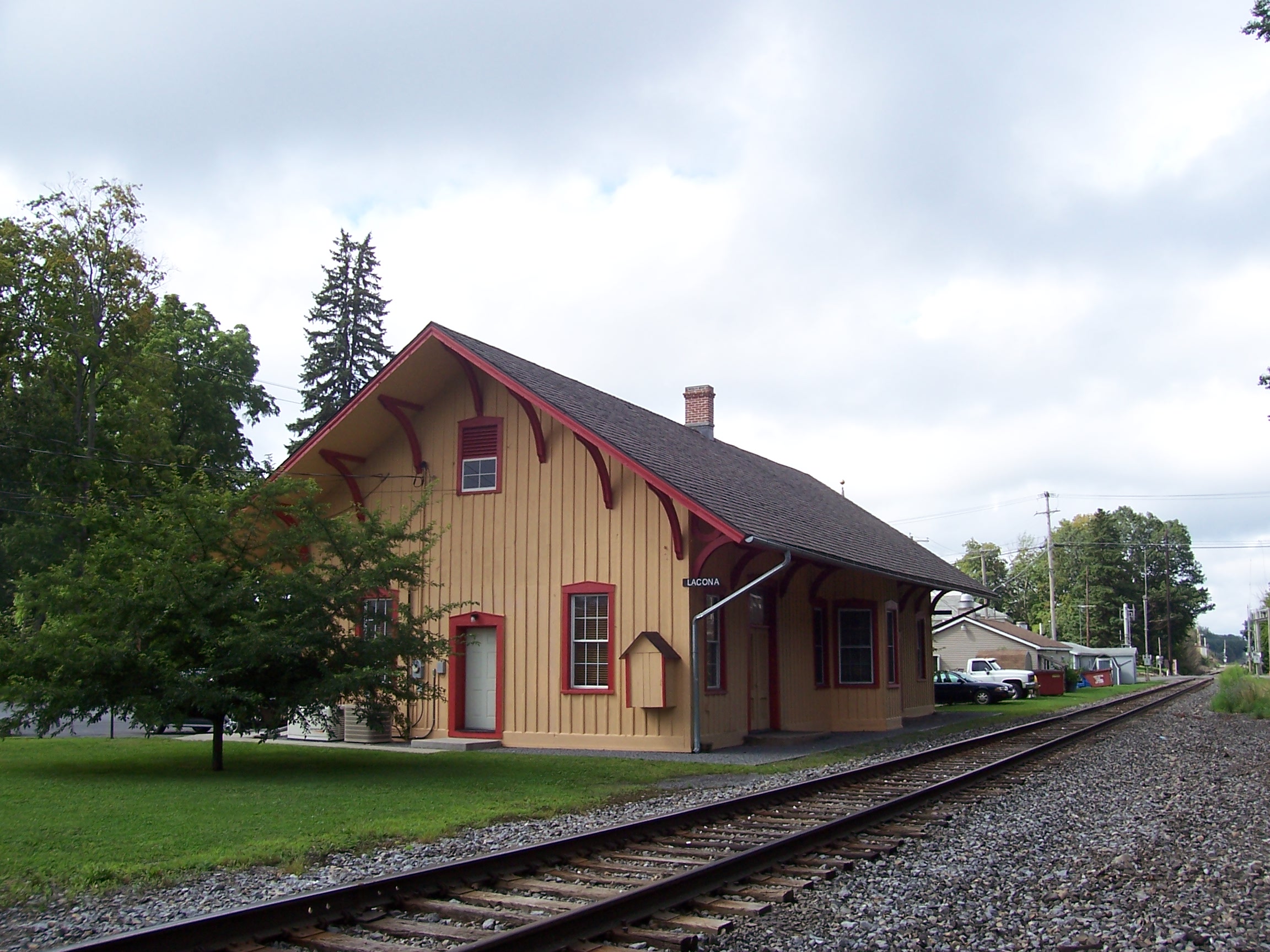
New York Central Station, Lacona, NY

Passanger & Freight Station, Lacona, NY

Pic-0026
P1000060 View from potential building site at western edge of Lot 23dot07 CR 15 Boylston NY

beautiful end to a beautiful day

day dream

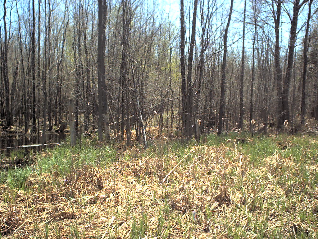
weed problem?
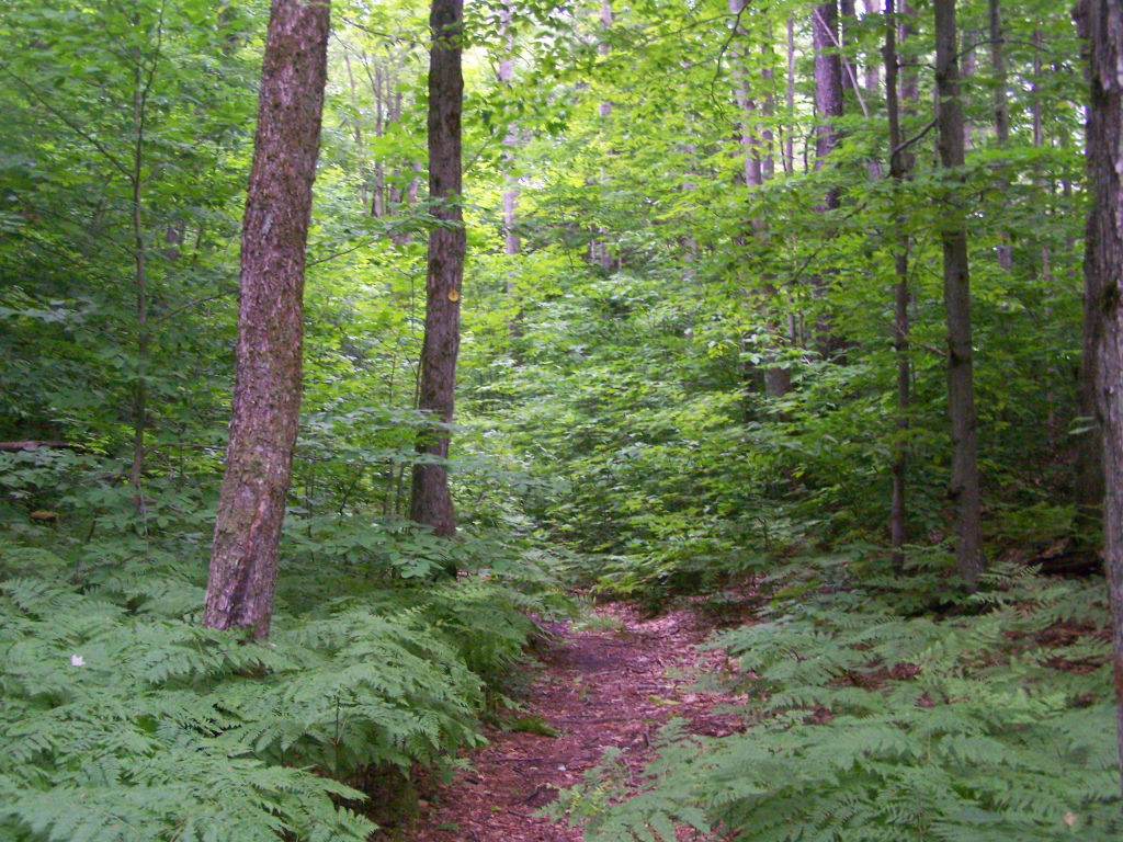
Start of the Rim Trail
Pic-0029

After Sunset

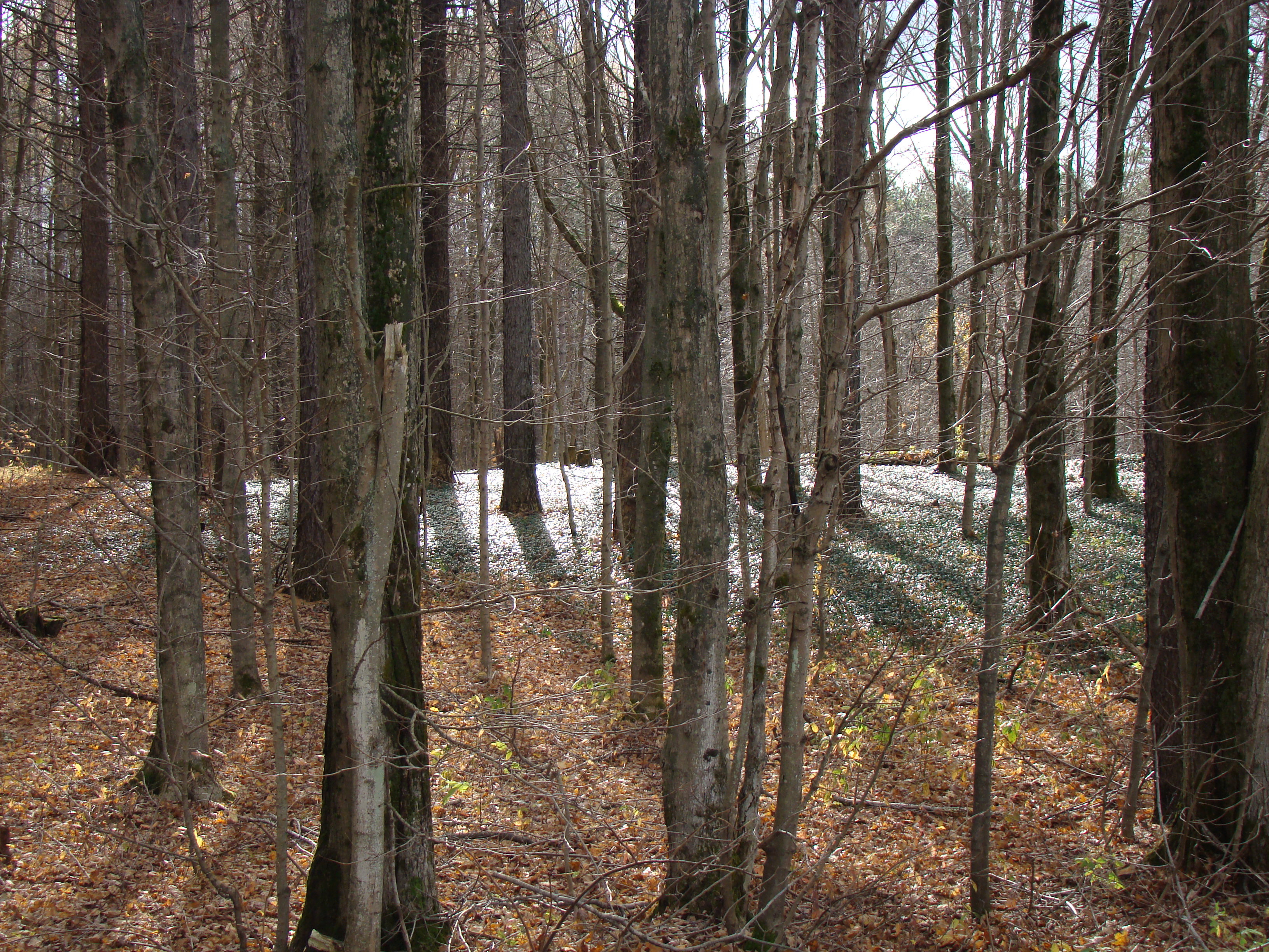
winter wasteland

The moon on the breast of the new-fallen snow...
Winona State Forest

my back yard

Looking Up
Walking Through Glacially Cut Ridge
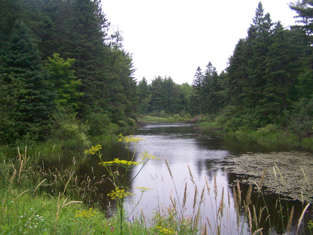
The Gulf

Trying Out My New Backlit Flag
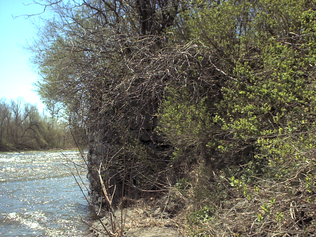
Trees Along the Edge
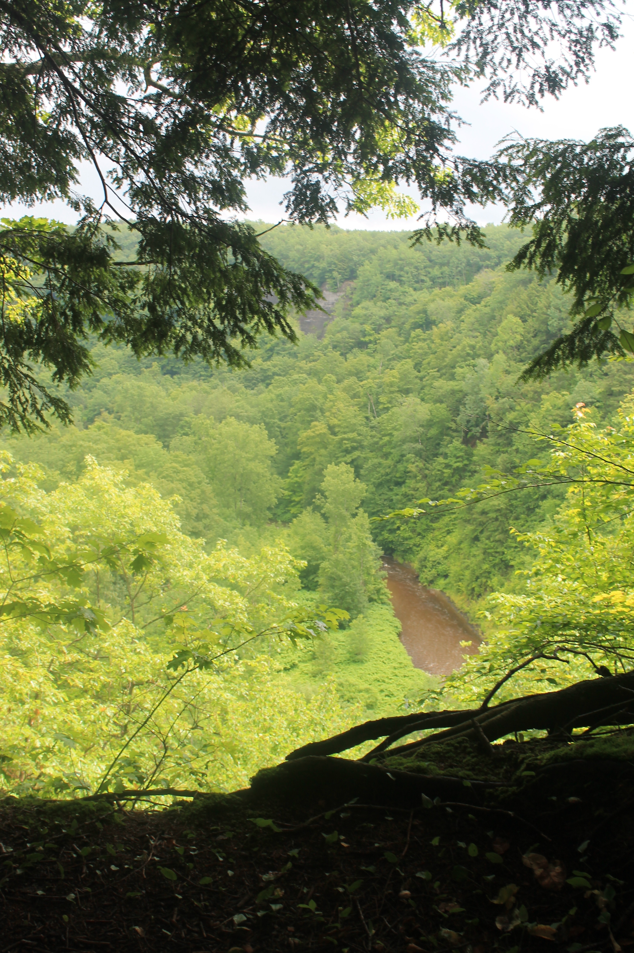
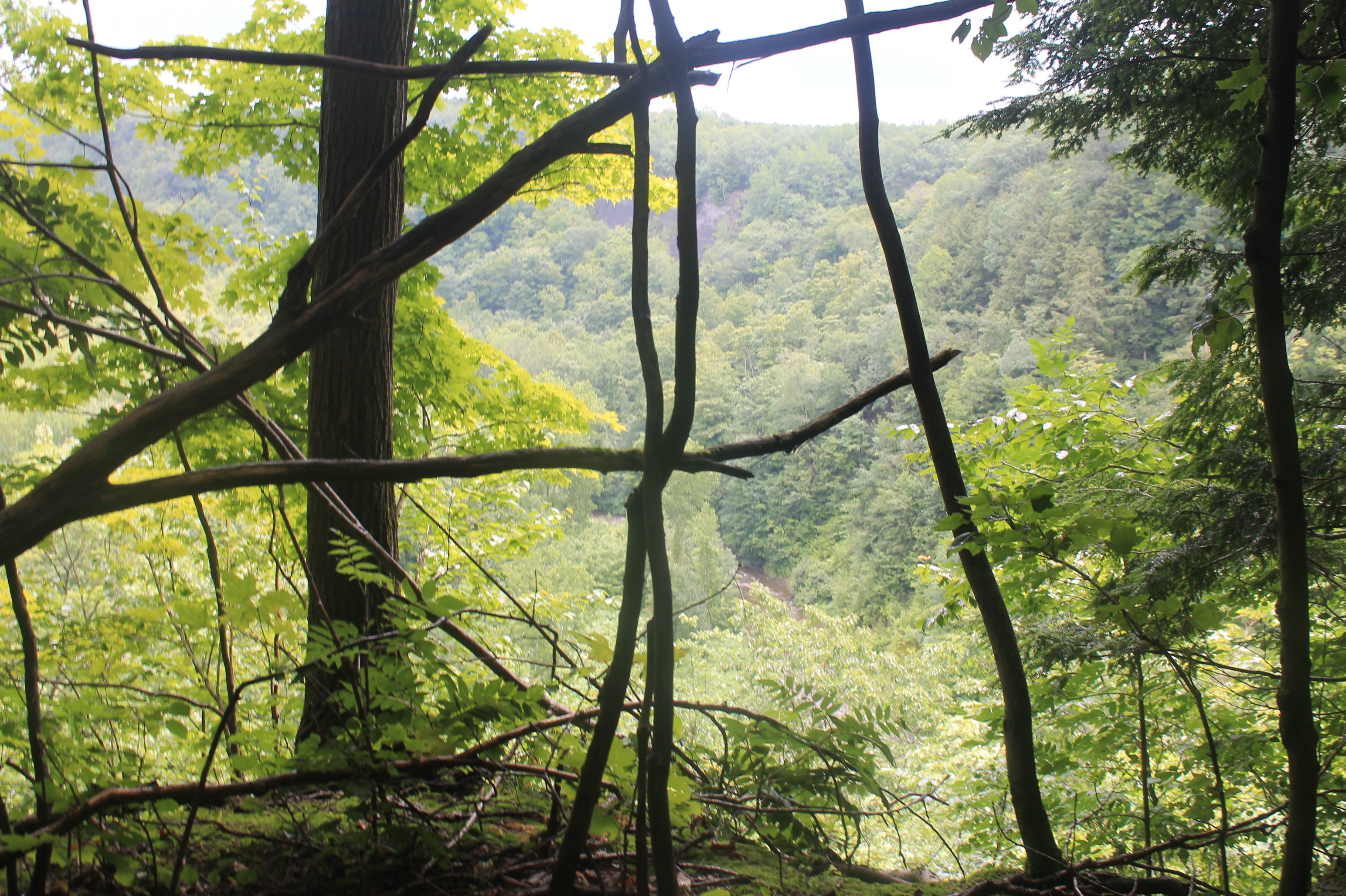
Looking Into Valley Above Gorge
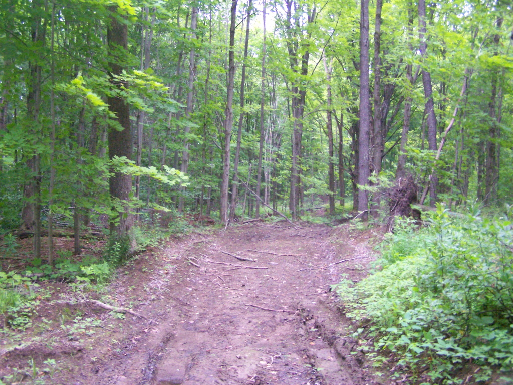
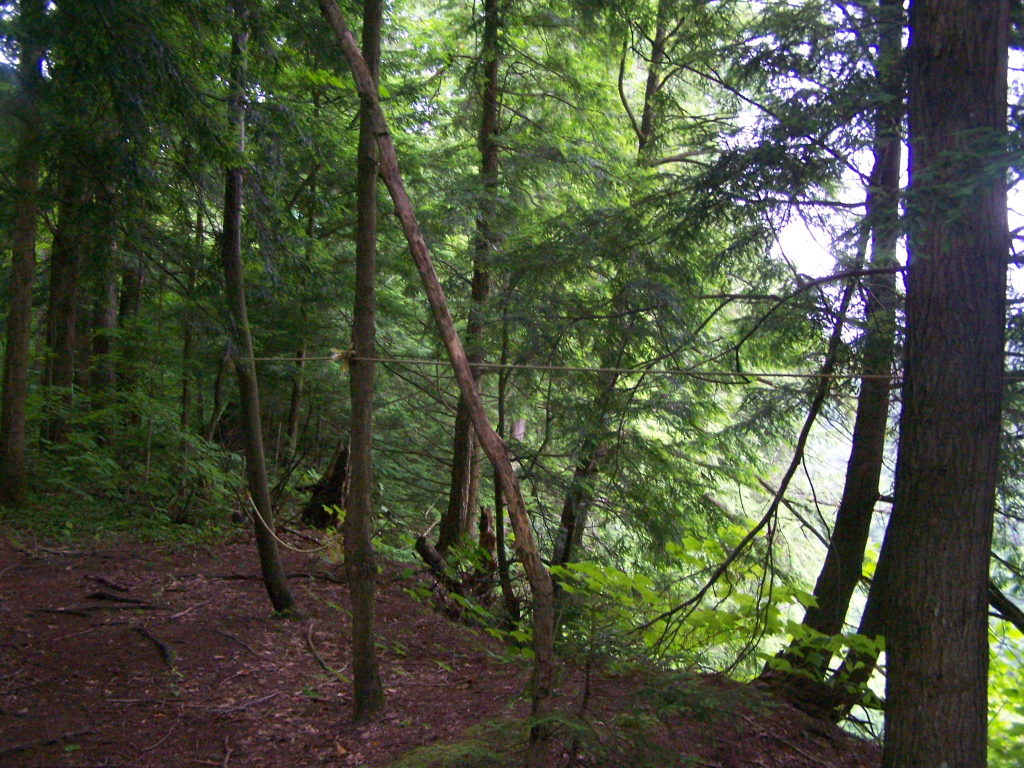
Hiking on Timber Road
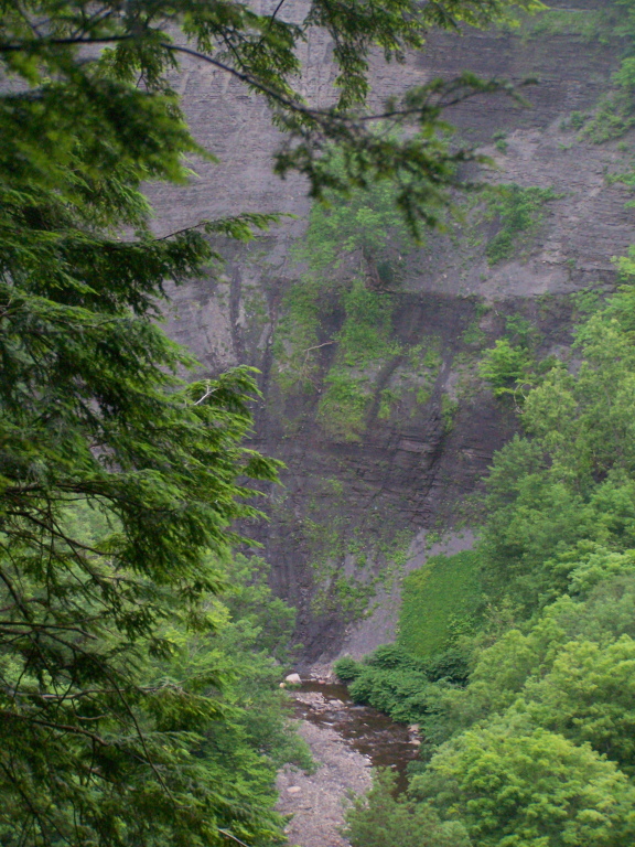
Into the Gorge
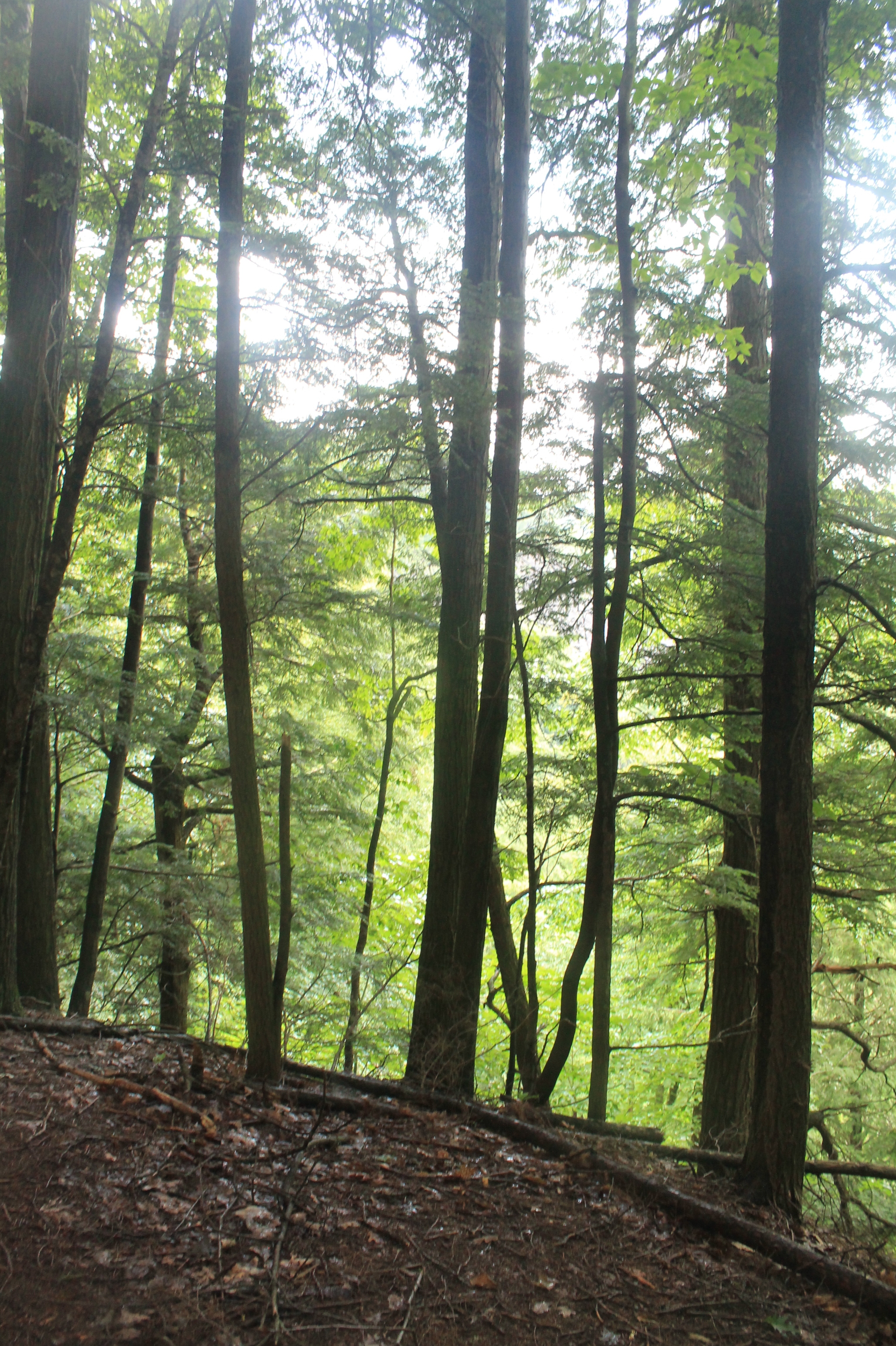
Inside the Gulf
Right on Edge of the Gulf
P1000028 Tagged tree line Eastern Edge Lot 23dot08 CR 15 Boylston NY
Topographic Map of Marsh Rd, Adams, NY, USA
Find elevation by address:

Places near Marsh Rd, Adams, NY, USA:
Lorraine
Lorraine
Boylston
757 County Rte 13
Smartville Rd, Lacona, NY, USA
Mannsville
1511 County Rte 15
6-12
365 New Scriba Dr
365 New Scriba Dr
Lacona
Harwood Dr, Lacona, NY, USA
112 New Scriba Dr
23 Salina St
83 Salisbury St
Sandy Creek
Harwood Dr, Sandy Creek, NY, USA
1875 County Rte 48
Sandy Creek
Ellisburg
Recent Searches:
- Elevation of Corso Fratelli Cairoli, 35, Macerata MC, Italy
- Elevation of Tallevast Rd, Sarasota, FL, USA
- Elevation of 4th St E, Sonoma, CA, USA
- Elevation of Black Hollow Rd, Pennsdale, PA, USA
- Elevation of Oakland Ave, Williamsport, PA, USA
- Elevation of Pedrógão Grande, Portugal
- Elevation of Klee Dr, Martinsburg, WV, USA
- Elevation of Via Roma, Pieranica CR, Italy
- Elevation of Tavkvetili Mountain, Georgia
- Elevation of Hartfords Bluff Cir, Mt Pleasant, SC, USA