Elevation of Marseilles, OH, USA
Location: United States > Ohio > Wyandot County > Marseilles Township >
Longitude: -83.392700
Latitude: 40.7014449
Elevation: 267m / 876feet
Barometric Pressure: 98KPa
Elevation Map:
Satellite Map:
Related Photos:
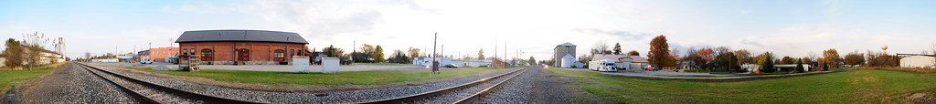
Forest, Ohio 45843 in 360 degrees

Hoary Redpoll -- LaRue, OH. 31 March 2011

Hoary Redpoll -- LaRue, OH. 31 March 2011

Hoary Redpoll -- LaRue, OH. 31 March 2011

Hoary Redpoll -- LaRue, OH. 31 March 2011

Hoary Redpoll -- LaRue, OH. 31 March 2011

eBird Doc: American Avocet

Hoary Redpoll -- LaRue, OH. 31 March 2011
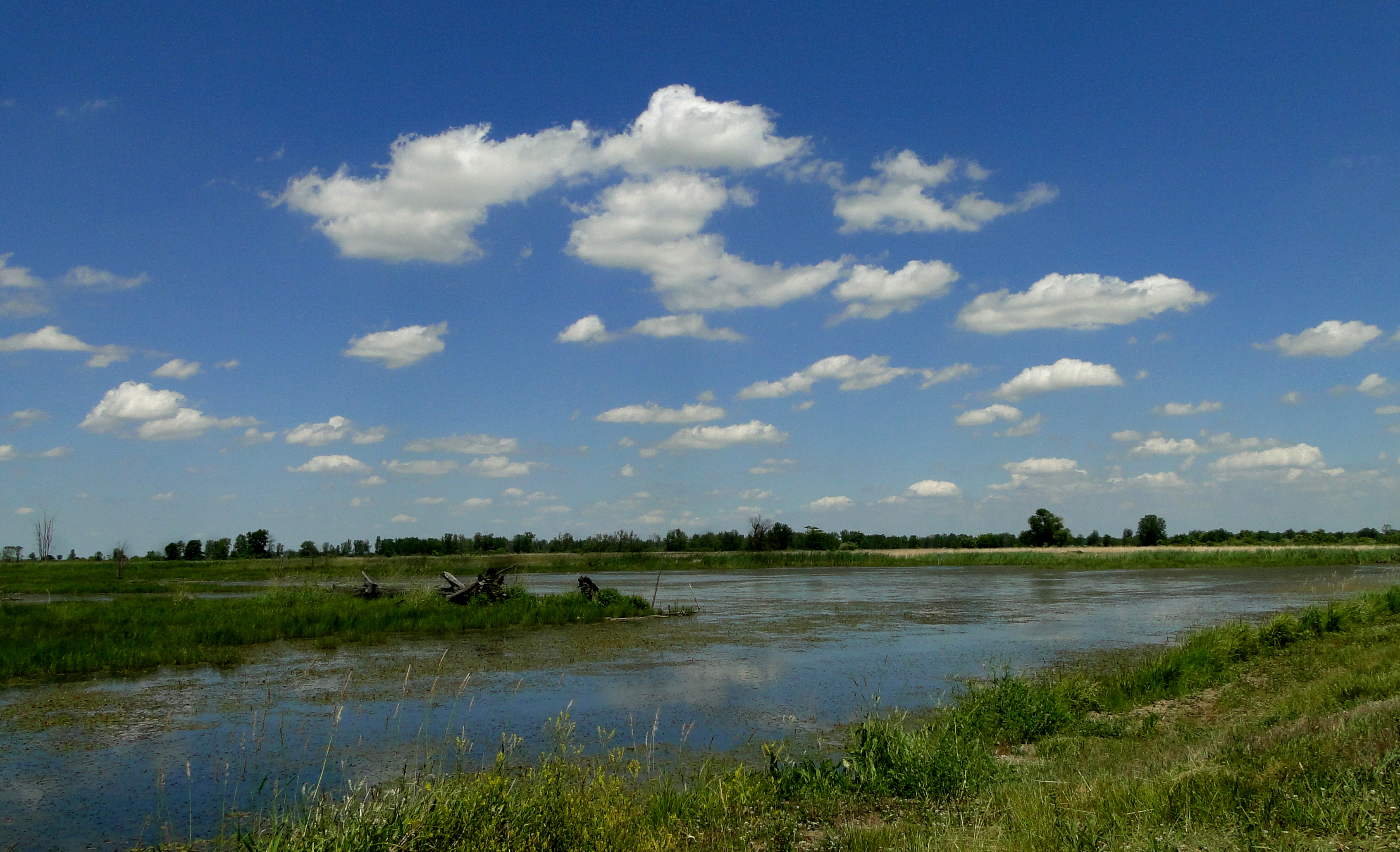
killdeer plains wildlife area-harpster,oh
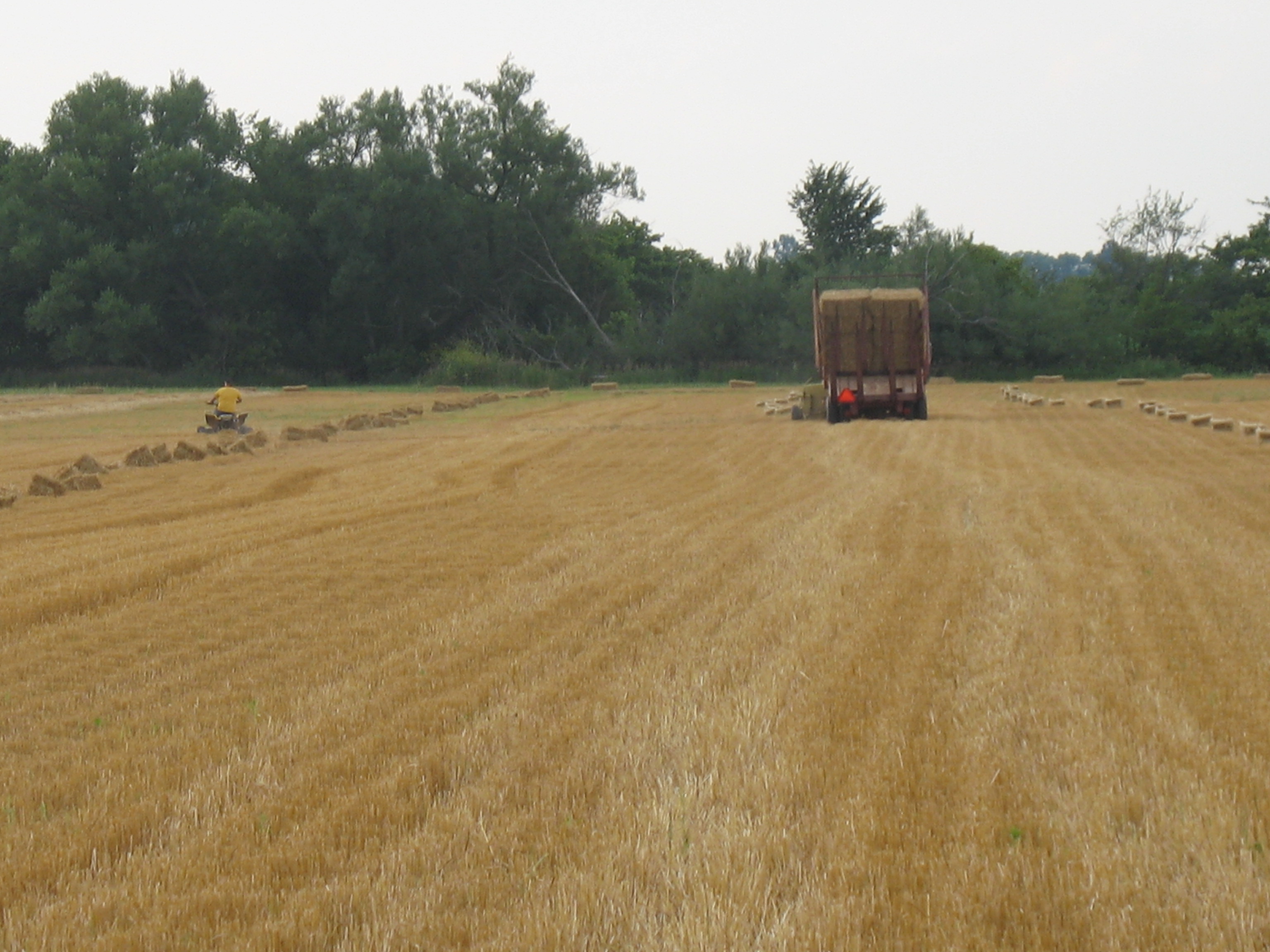
Forry & Son Straw baling and double crop beans 7-6-2011
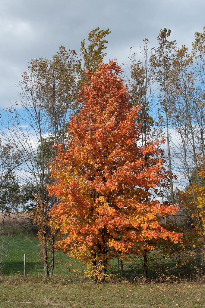
Fall Colors,
Topographic Map of Marseilles, OH, USA
Find elevation by address:

Places in Marseilles, OH, USA:
Places near Marseilles, OH, USA:
Main St, Upper Sandusky, OH, USA
Marseilles Township
Main St, Upper Sandusky, OH, USA
Montgomery Township
349 River St
371 N Front St
268 N Front St
La Rue
30 S High St, La Rue, OH, USA
149 S High St
Co Rd, Kenton, OH, USA
7202 Larue-prospect Rd W
Wyandot St, Harpster, OH, USA
OH-53, Forest, OH, USA
1705 Bumford Rd
W Neff St, Morral, OH, USA
Big Island Township
3620 Harding Hwy W
2935 Marseilles-galion Rd W
E Taylor St, Mt Victory, OH, USA
Recent Searches:
- Elevation of Corso Fratelli Cairoli, 35, Macerata MC, Italy
- Elevation of Tallevast Rd, Sarasota, FL, USA
- Elevation of 4th St E, Sonoma, CA, USA
- Elevation of Black Hollow Rd, Pennsdale, PA, USA
- Elevation of Oakland Ave, Williamsport, PA, USA
- Elevation of Pedrógão Grande, Portugal
- Elevation of Klee Dr, Martinsburg, WV, USA
- Elevation of Via Roma, Pieranica CR, Italy
- Elevation of Tavkvetili Mountain, Georgia
- Elevation of Hartfords Bluff Cir, Mt Pleasant, SC, USA