Elevation of Mark Bernard Lane, Mark Bernard Ln, Russell Springs, KY, USA
Location: United States > Kentucky > Russell County > Russell Springs >
Longitude: -85.068448
Latitude: 37.0858163
Elevation: 312m / 1024feet
Barometric Pressure: 98KPa
Elevation Map:
Satellite Map:
Related Photos:
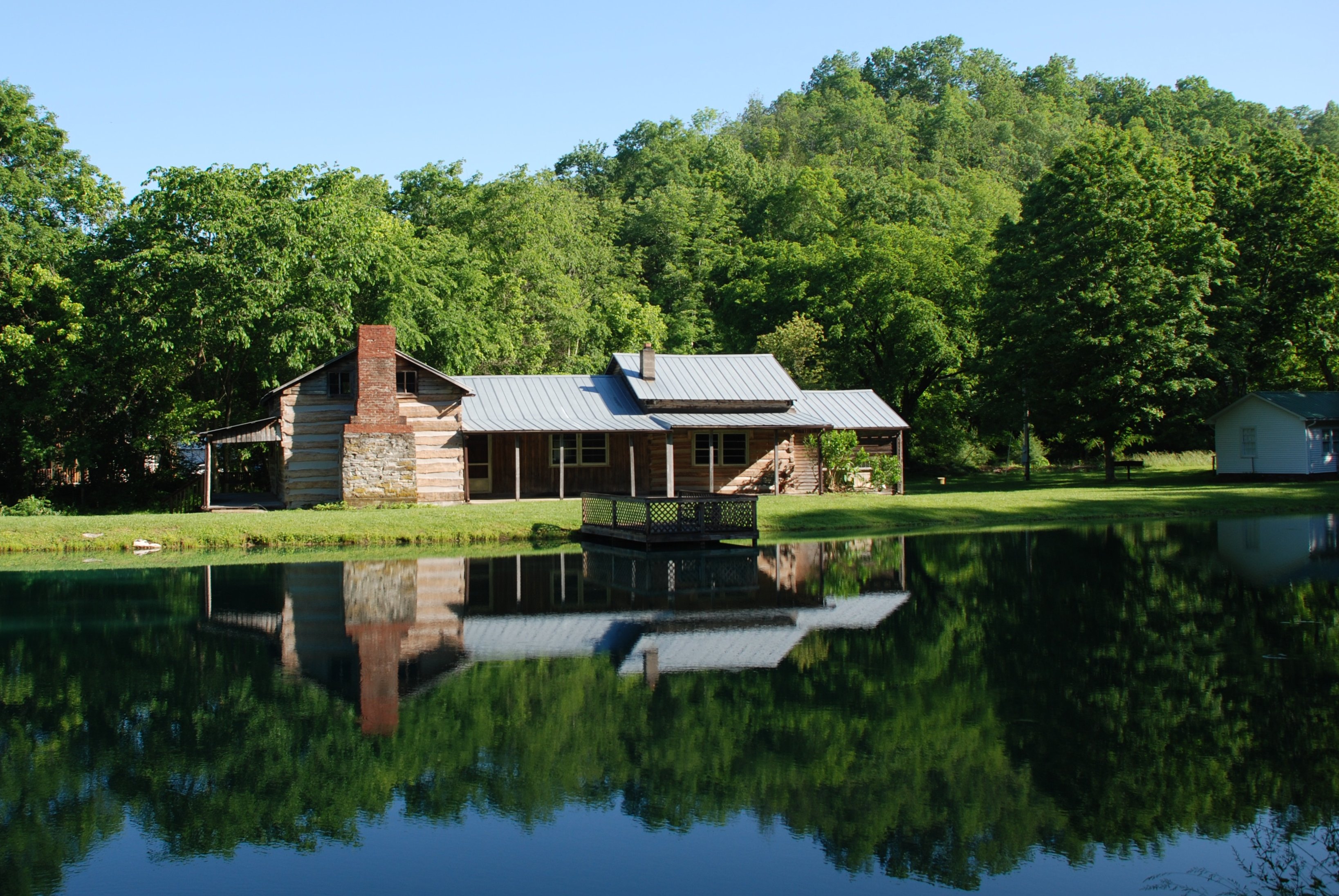
Janice Holt Giles Restored Home

_MG_1524_edited-1
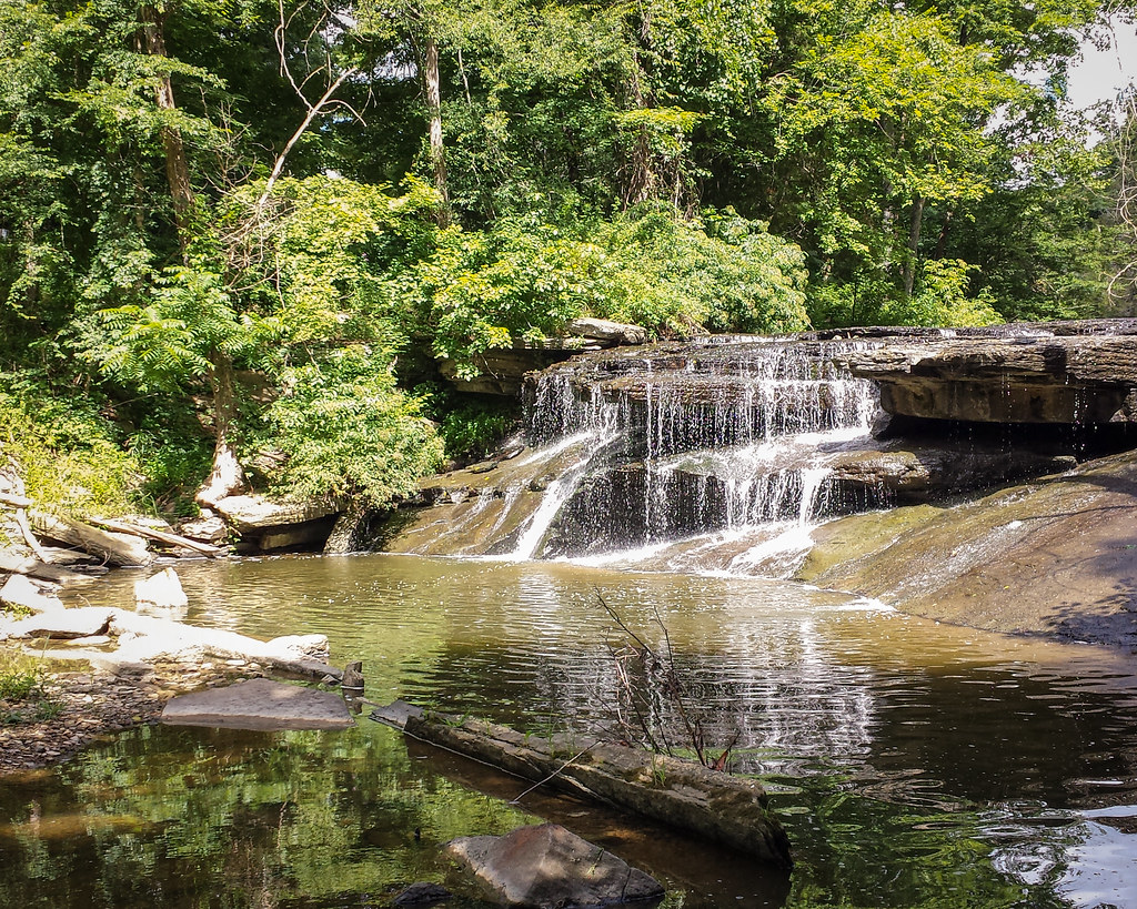
Wild Kentucky
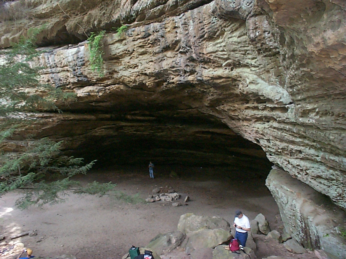
Indian Rock House
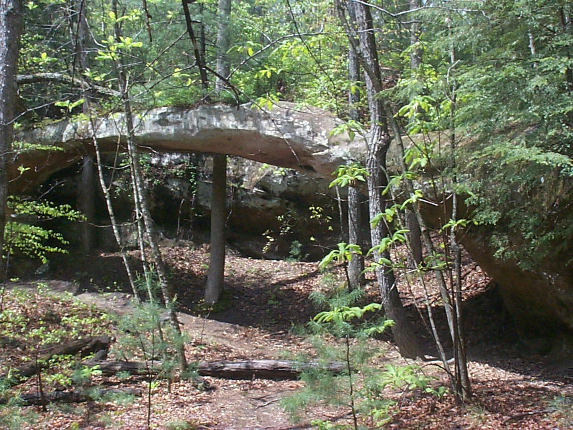
Needle Arch
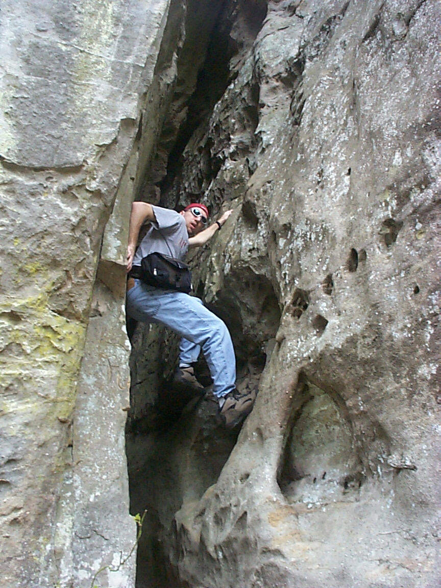
Scaling a cliff
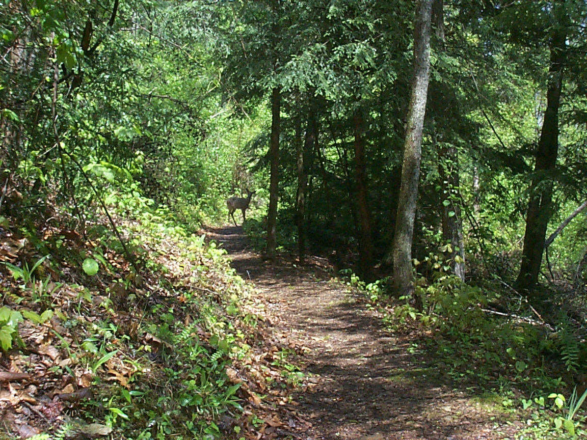
Doe, a Deer

Northern Flicker

Northern Flicker
Topographic Map of Mark Bernard Lane, Mark Bernard Ln, Russell Springs, KY, USA
Find elevation by address:

Places near Mark Bernard Lane, Mark Bernard Ln, Russell Springs, KY, USA:
Russell Springs
Russell St, Russell Springs, KY, USA
US-, Russell Springs, KY, USA
KY-80, Russell Springs, KY, USA
N Main St, Russell Springs, KY, USA
Dickerson Ridge Road
1080 N Main St
125 Antle Dr
R Grider Rd, Russell Springs, KY, USA
Jamestown
Russell County
56 Vebb Smith Rd, Russell Springs, KY, USA
32 Dockery Rd
State Hwy, Russell Springs, KY, USA
163 Tall Timbers Dr
Taylor Ford Road
Basil Roy Spur Rd, Windsor, KY, USA
Windsor
KY-, Jamestown, KY, USA
48 Alligator Cove, Russell Springs, KY, USA
Recent Searches:
- Elevation of Corso Fratelli Cairoli, 35, Macerata MC, Italy
- Elevation of Tallevast Rd, Sarasota, FL, USA
- Elevation of 4th St E, Sonoma, CA, USA
- Elevation of Black Hollow Rd, Pennsdale, PA, USA
- Elevation of Oakland Ave, Williamsport, PA, USA
- Elevation of Pedrógão Grande, Portugal
- Elevation of Klee Dr, Martinsburg, WV, USA
- Elevation of Via Roma, Pieranica CR, Italy
- Elevation of Tavkvetili Mountain, Georgia
- Elevation of Hartfords Bluff Cir, Mt Pleasant, SC, USA