Elevation of Marion Township, MO, USA
Location: United States > Missouri > Newton County >
Longitude: -94.335963
Latitude: 37.0254308
Elevation: 350m / 1148feet
Barometric Pressure: 97KPa
Elevation Map:
Satellite Map:
Related Photos:
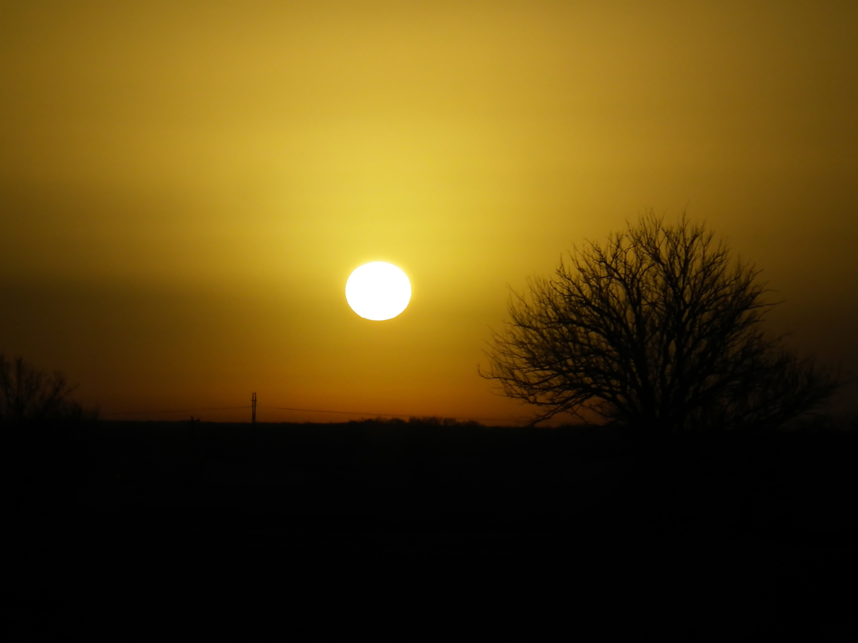
golden morning 1

An instant, I dreamed of escape.

Canon 500D vs Ricoh Theta S
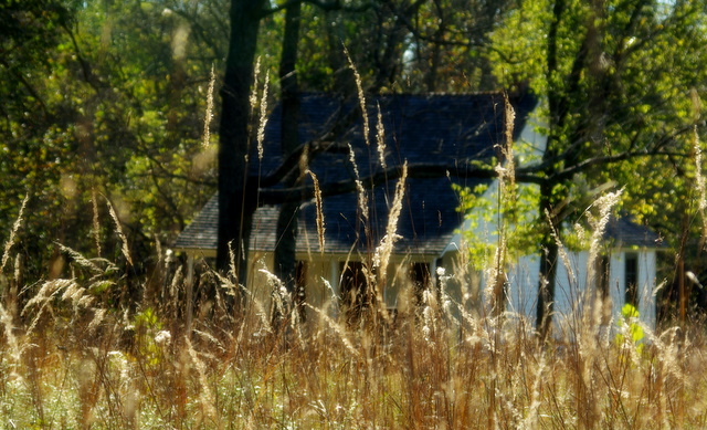
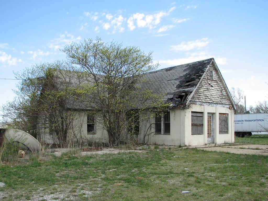
The Carver House
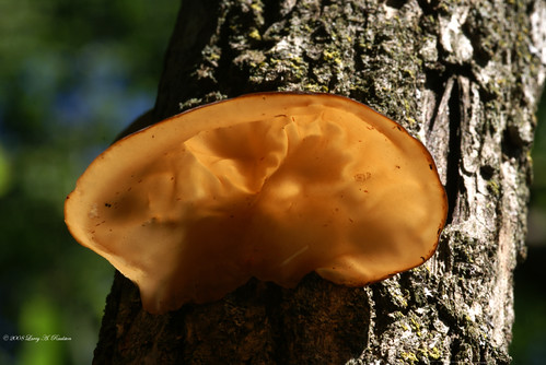
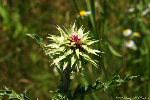
Fungus Amungus

Hairy Green Bug
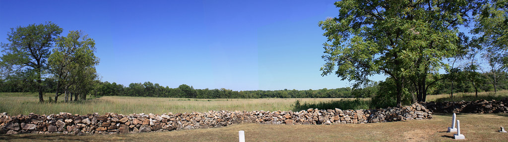
Cemetery View Panorama

Ricoh Theta S vs Canon 500D
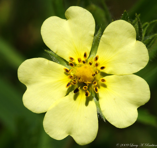
I Wonder Why

My Definition of "Evil"
Learning Experience
Truck Stop- Side View
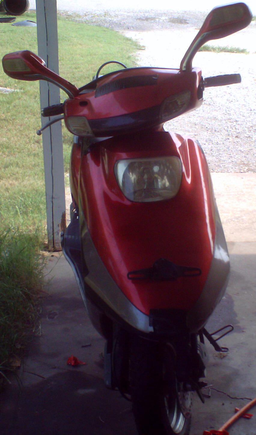
My 50cc Scooter - Front View
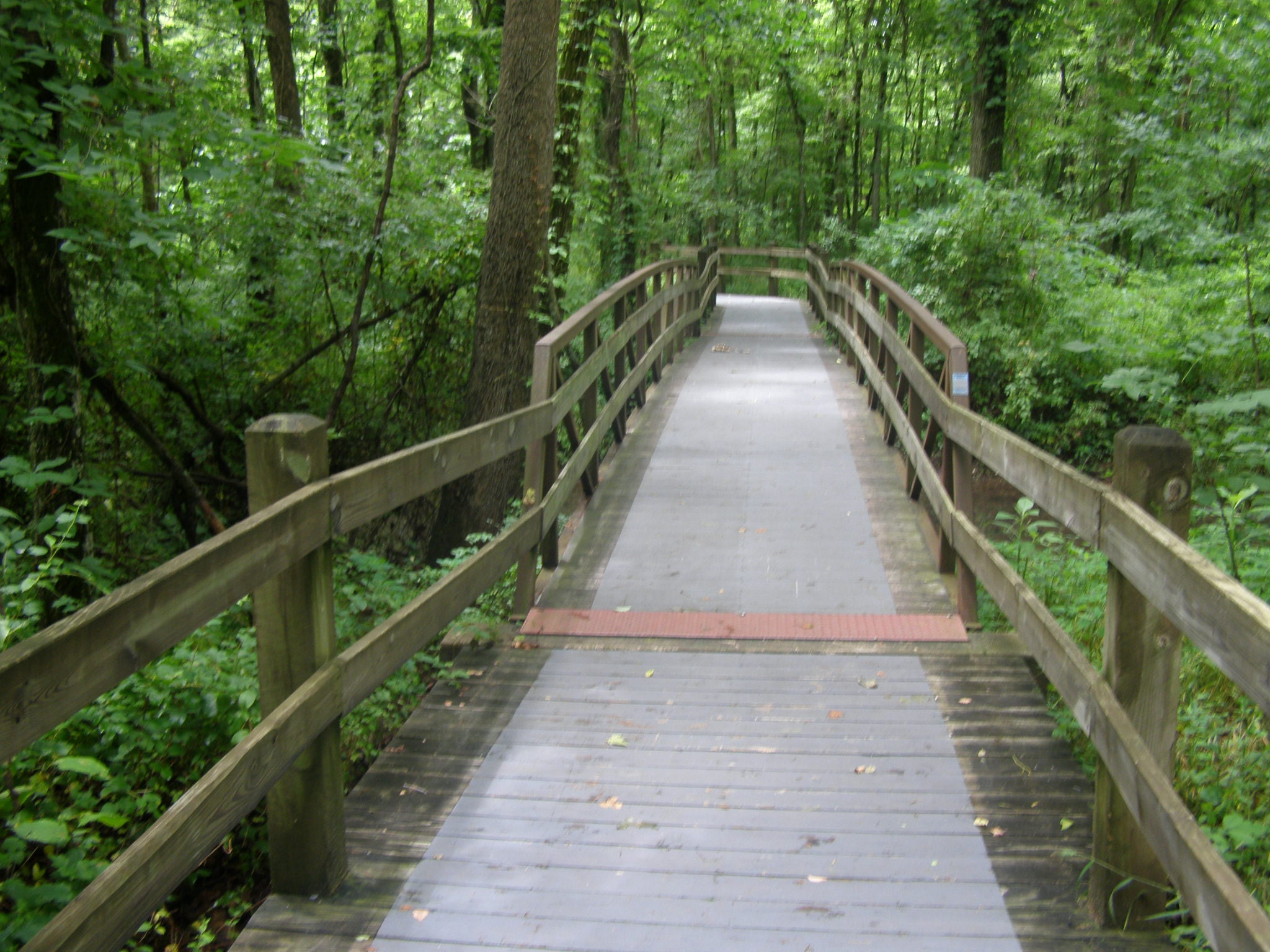
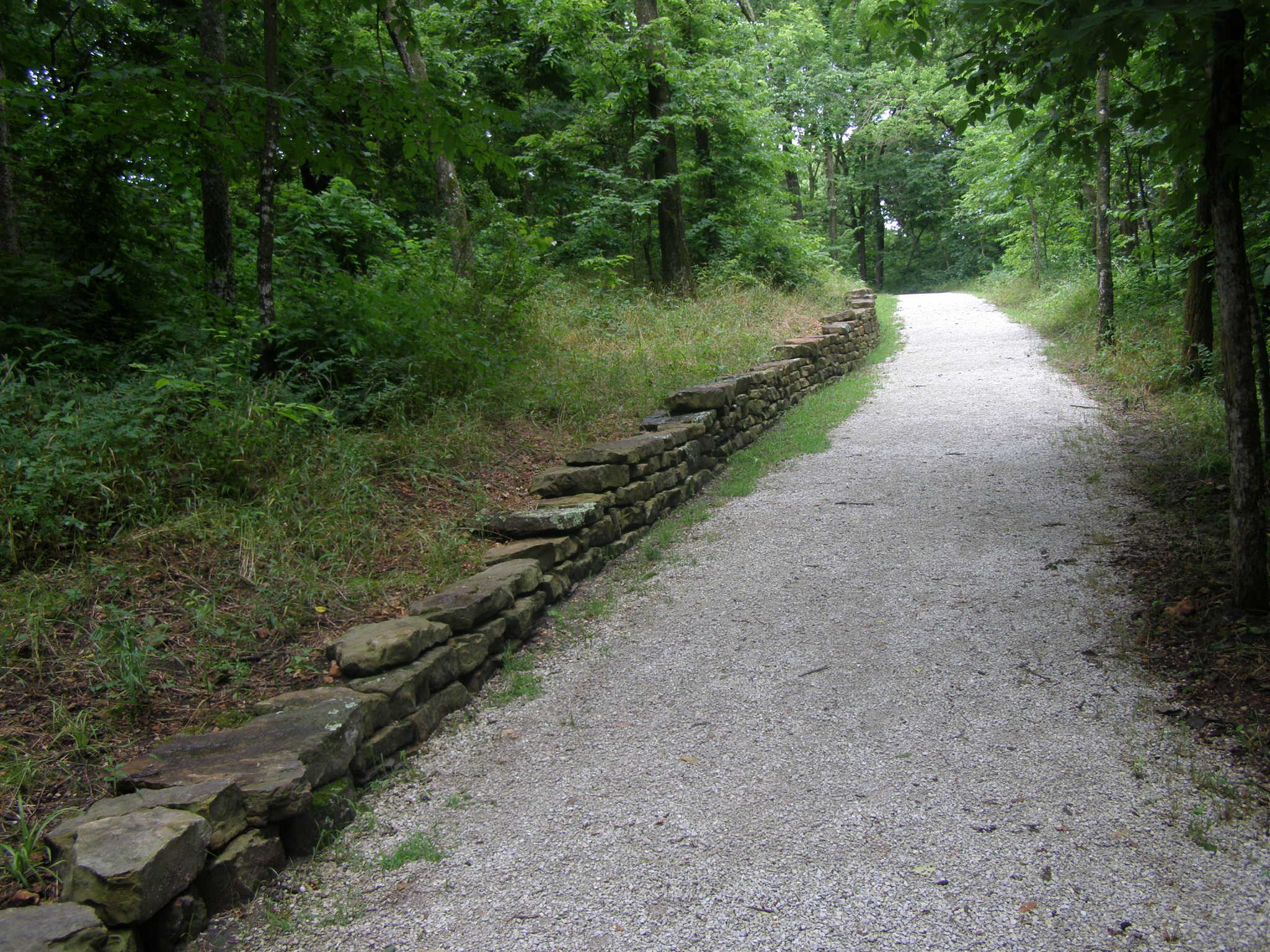
view from the walking bridge
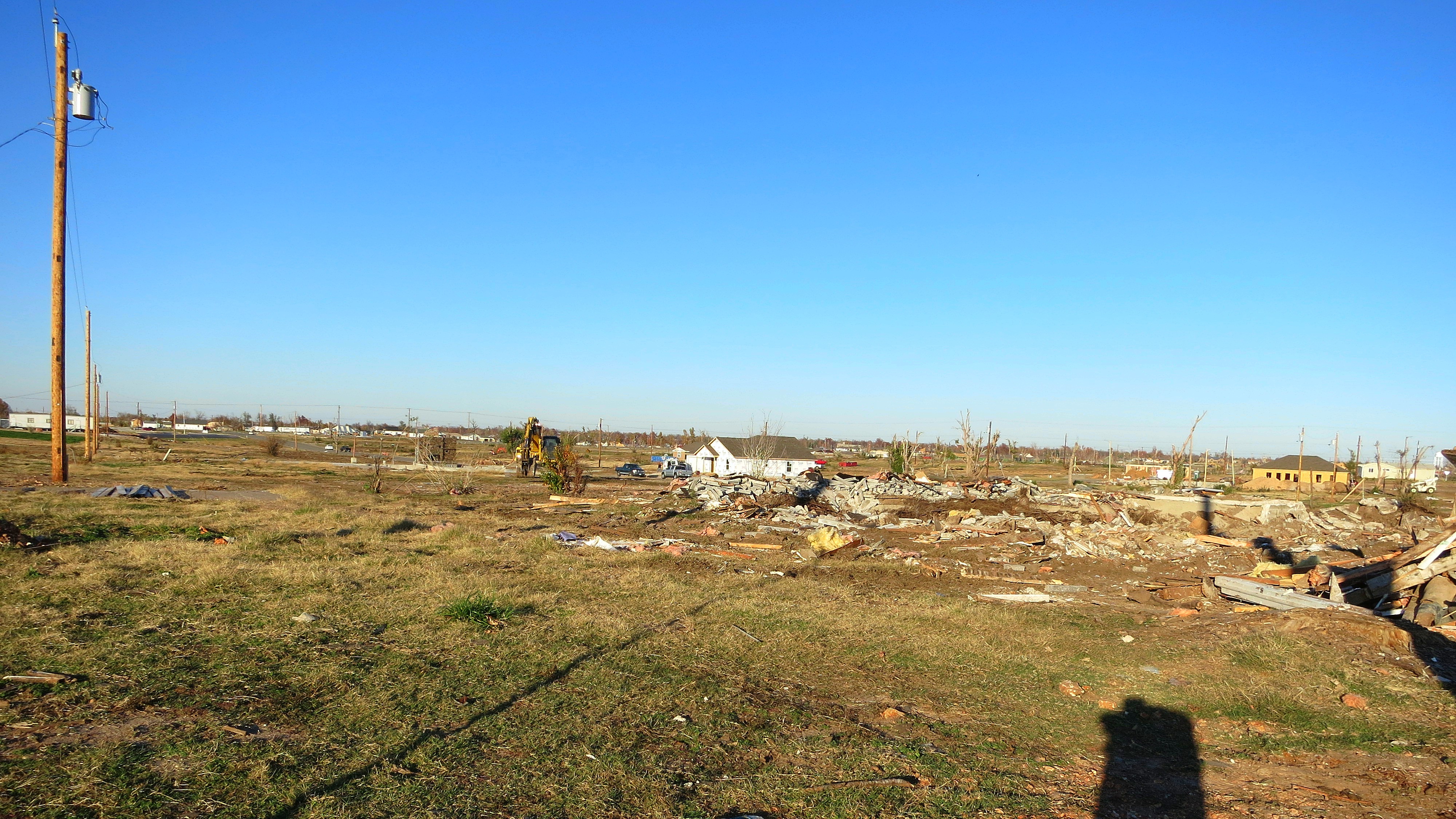
I've struggled to show how extensive the damage was
Stack o' Ramps
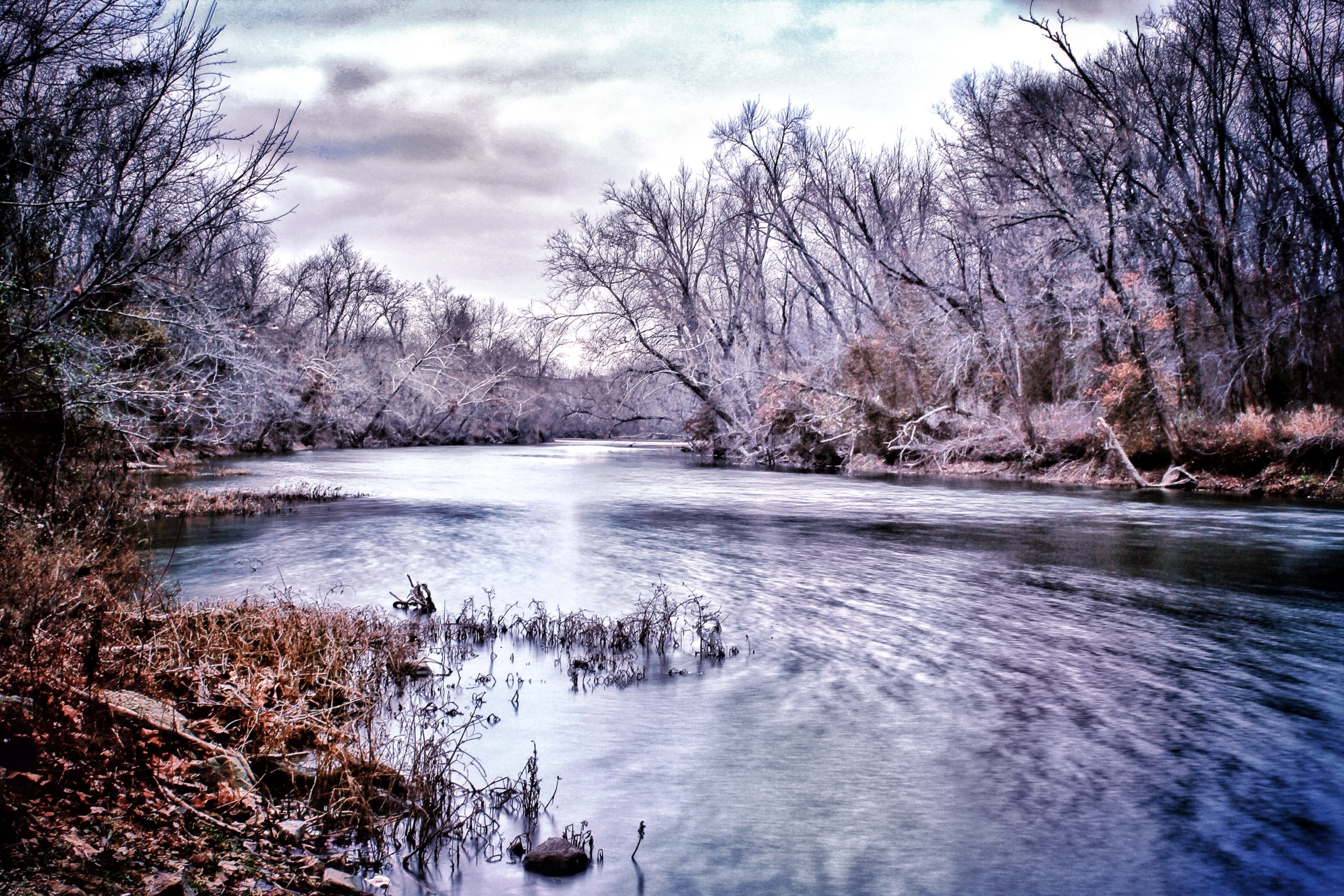
Shoal Creek. December 2012

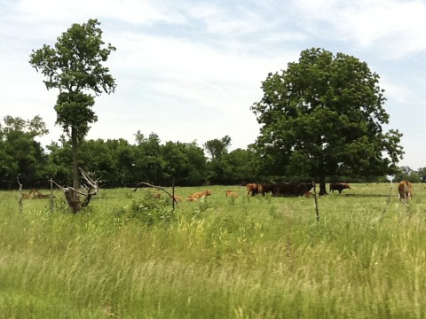
round barn
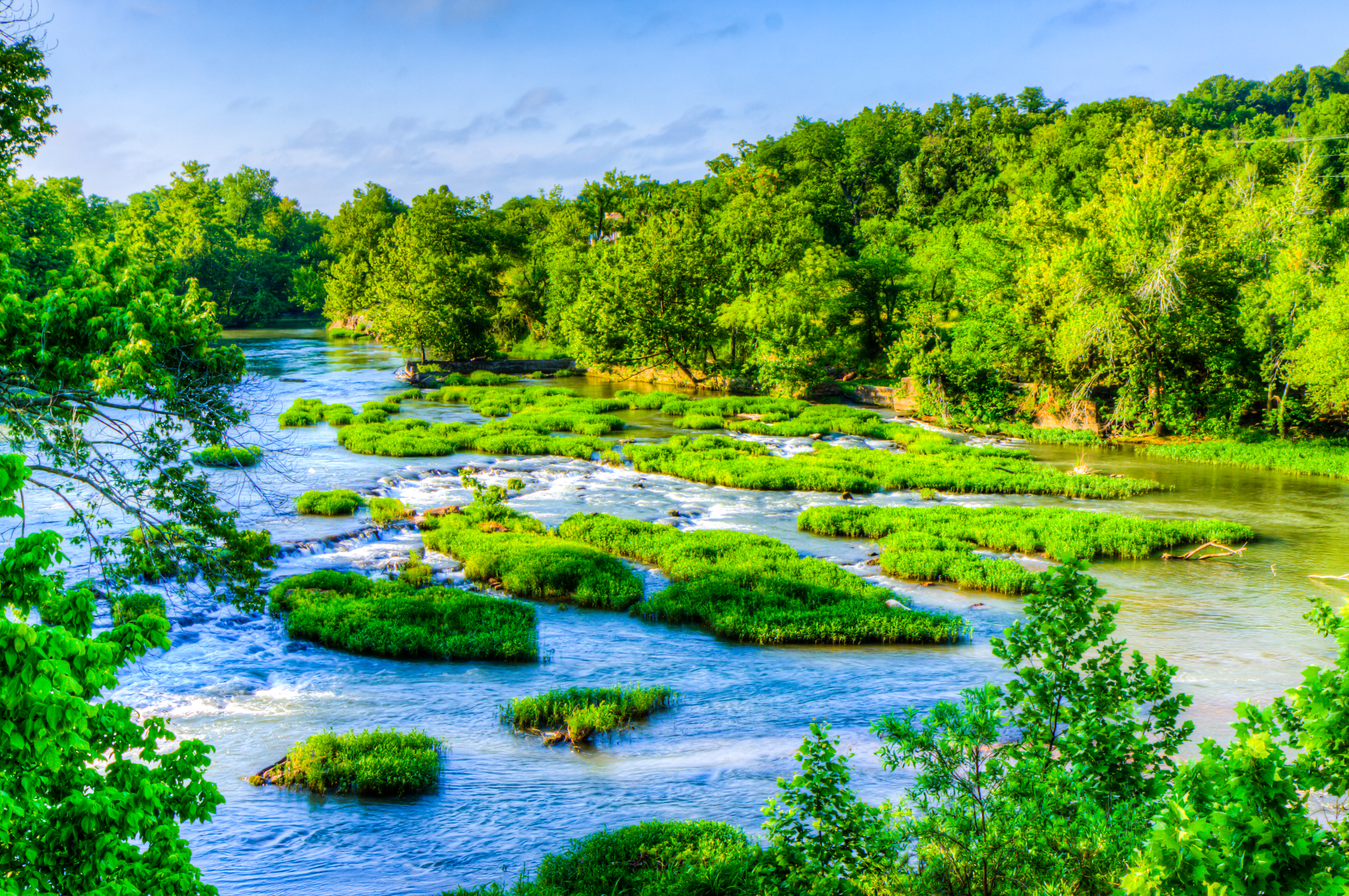
Shoal Creek
Old Scenic Way 1
Pretty Pond
Moon setting on a frosty morning
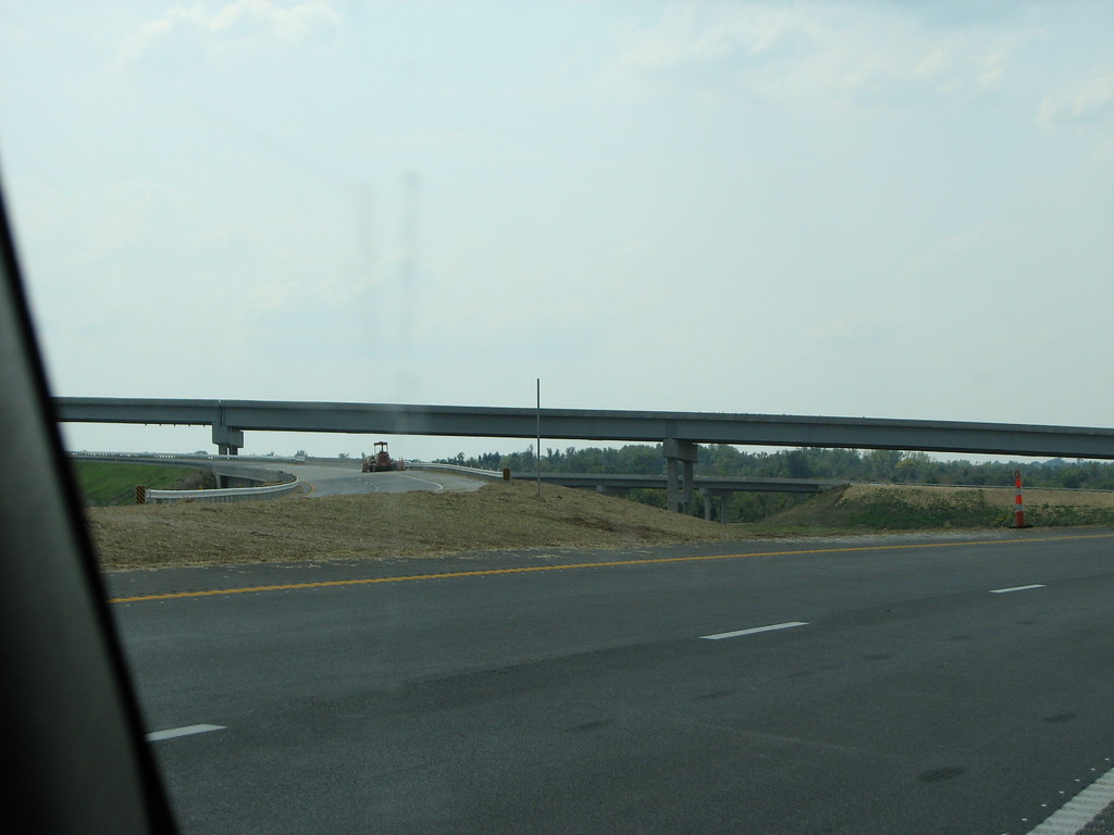
Route 66

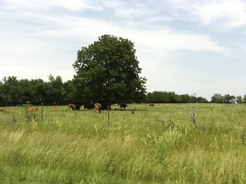
Autumn Barn
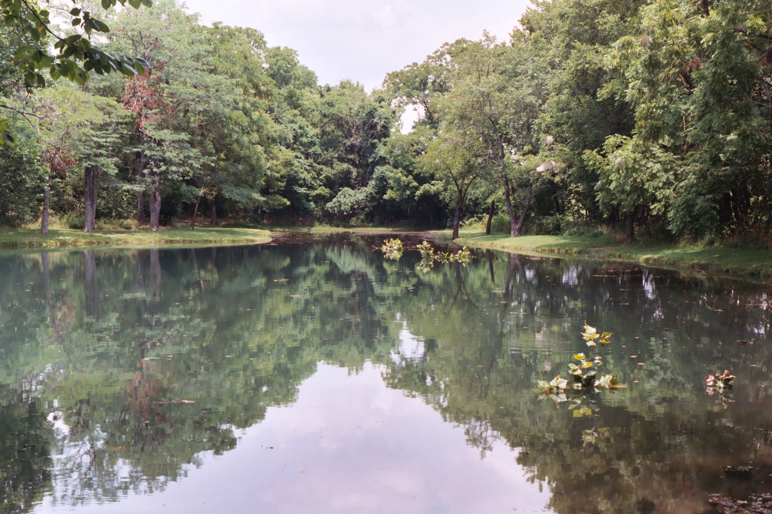
Williams Pond
Route 66

George Washington Carver National Monument
George Washington Carver NHS, MO
George Washington Carver NHS, MO

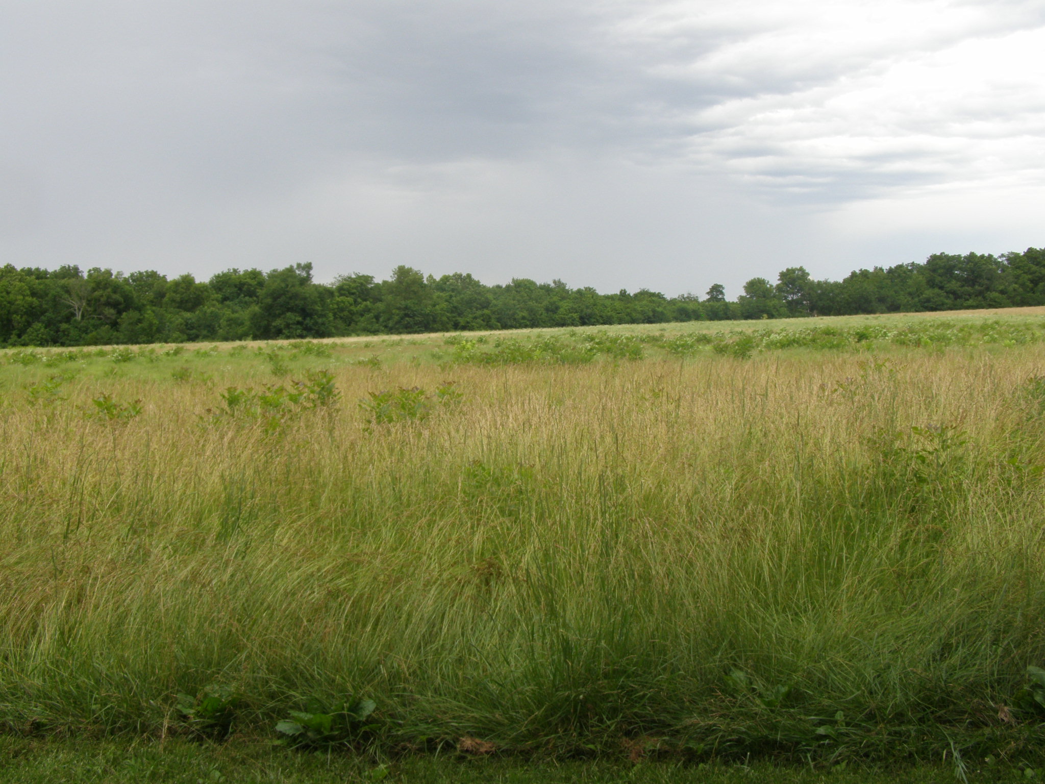
Sunrise over a formerly forested area
George Washington Carver National Monument (Newton County, Missouri)
George Washington Carver NHS, MO

Sunset over Joplin, MO
George Washington Carver National Monument (Newton County, Missouri)

George Washington Carver National Monument
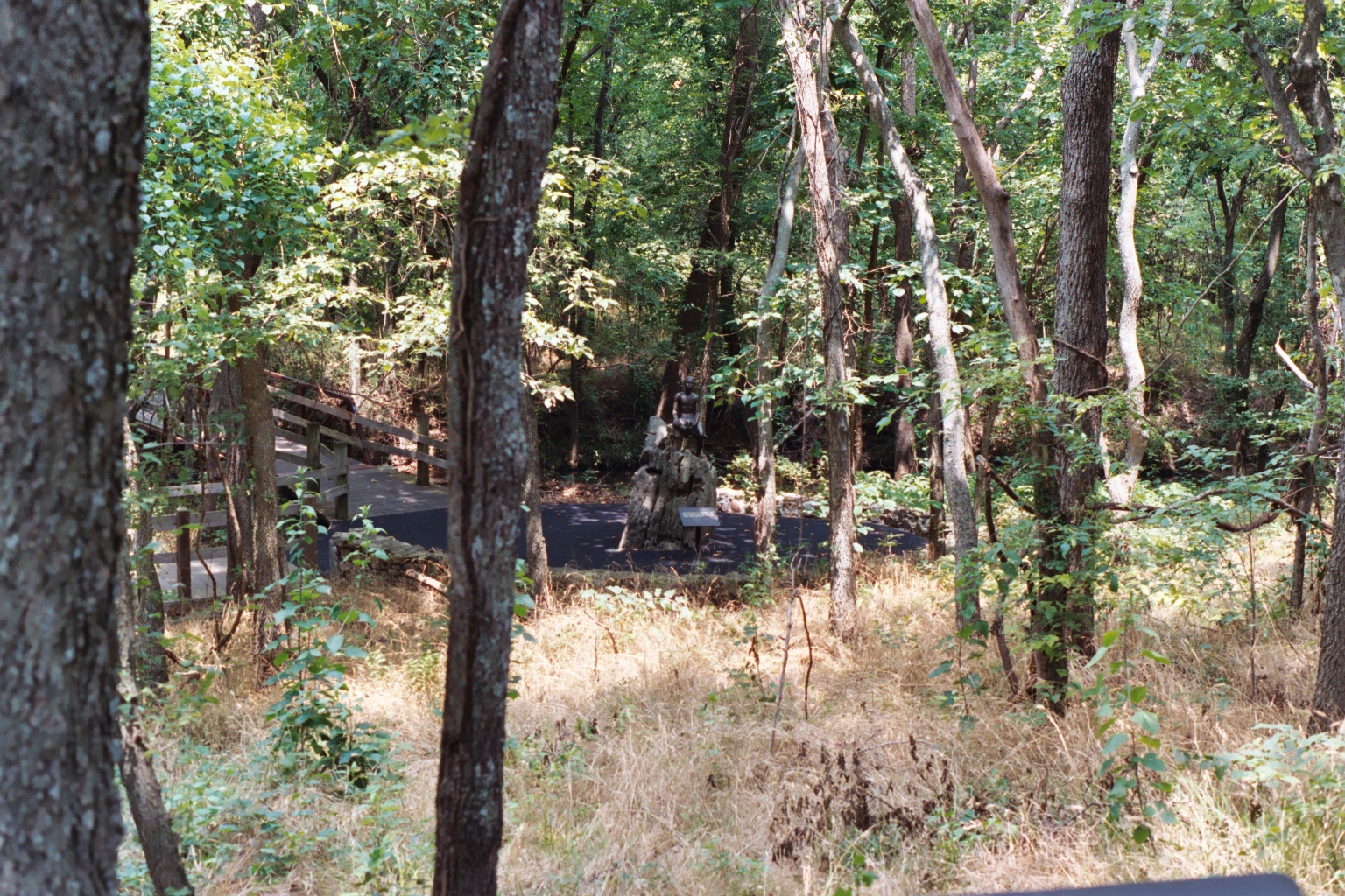
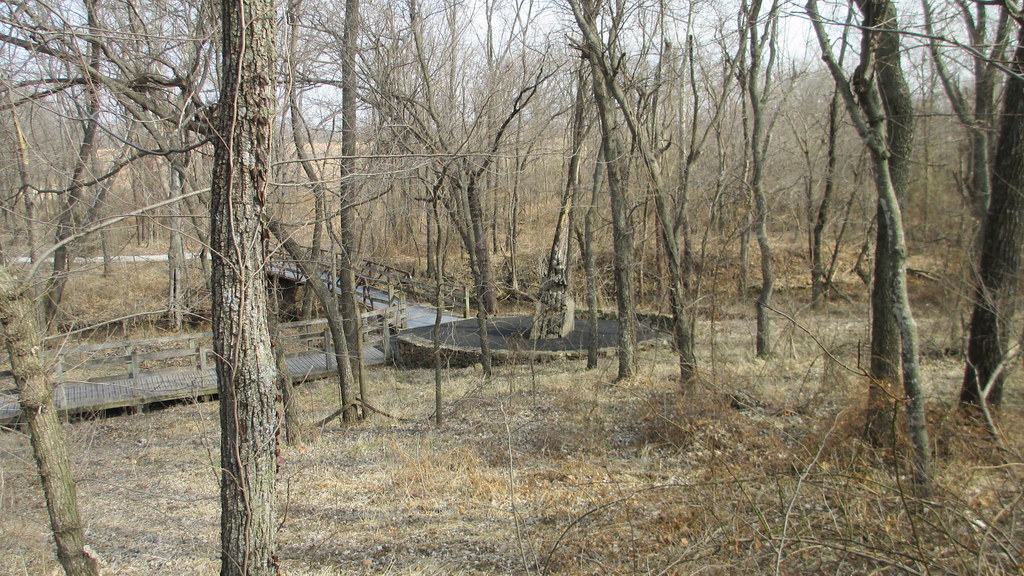
Carver Nature Trail
George Washington Carver NHS, MO
Topographic Map of Marion Township, MO, USA
Find elevation by address:

Places in Marion Township, MO, USA:
Places near Marion Township, MO, USA:
Diamond
100 N Washington St
206 N Locust St
100 W Market St
100 E Market St
Crosspoint Fellowship
Newton County
15751 Graydon Ln
19000 Gum Rd
12203 Andrea Ln
2138 S Oakcliff Rd
East Middle School
Granby Township
Granby
4216 University Circle
S Duquesne Rd, Joplin, MO, USA
4201 University Circle
Walmart Supercenter
Aldi
Red Wing
Recent Searches:
- Elevation of Corso Fratelli Cairoli, 35, Macerata MC, Italy
- Elevation of Tallevast Rd, Sarasota, FL, USA
- Elevation of 4th St E, Sonoma, CA, USA
- Elevation of Black Hollow Rd, Pennsdale, PA, USA
- Elevation of Oakland Ave, Williamsport, PA, USA
- Elevation of Pedrógão Grande, Portugal
- Elevation of Klee Dr, Martinsburg, WV, USA
- Elevation of Via Roma, Pieranica CR, Italy
- Elevation of Tavkvetili Mountain, Georgia
- Elevation of Hartfords Bluff Cir, Mt Pleasant, SC, USA