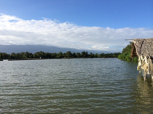
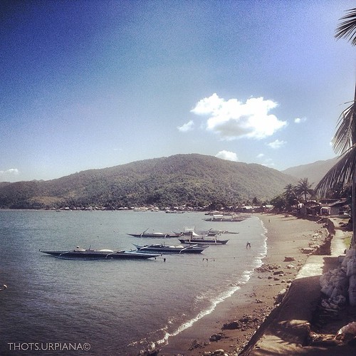
Elevation of Marikina-Infanta Highway, Marikina-Infanta Hwy, Infanta, Quezon, Philippines
Location: Philippines > Calabarzon > Quezon > Infanta >
Longitude: 121.599258
Latitude: 14.7063634
Elevation: 44m / 144feet
Barometric Pressure: 101KPa
Related Photos:
Topographic Map of Marikina-Infanta Highway, Marikina-Infanta Hwy, Infanta, Quezon, Philippines
Find elevation by address:

Places near Marikina-Infanta Highway, Marikina-Infanta Hwy, Infanta, Quezon, Philippines:
Raptors Point
Gina's Garden Grill And Resto
Mt. Daraitan
Mount Daraitan
Jungle Base
Daraitan Barangay Hall
Mamuyao
Laiban
Daraitan
Brgy. Laiban Hall
San Andres
Cayabu
Treasure Mountain
Treasure Mountain - Educational Campsite
El Patio Razon
Palaya Natural Farm
Brgy. San Andres
Sta Ines Road
Sta Ines Road
Mt. Mapalad
Recent Searches:
- Elevation of Corso Fratelli Cairoli, 35, Macerata MC, Italy
- Elevation of Tallevast Rd, Sarasota, FL, USA
- Elevation of 4th St E, Sonoma, CA, USA
- Elevation of Black Hollow Rd, Pennsdale, PA, USA
- Elevation of Oakland Ave, Williamsport, PA, USA
- Elevation of Pedrógão Grande, Portugal
- Elevation of Klee Dr, Martinsburg, WV, USA
- Elevation of Via Roma, Pieranica CR, Italy
- Elevation of Tavkvetili Mountain, Georgia
- Elevation of Hartfords Bluff Cir, Mt Pleasant, SC, USA


