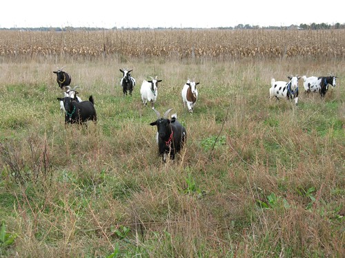
Elevation of Marietta, NE, USA
Location: United States > Nebraska > Saunders County >
Longitude: -96.514308
Latitude: 41.2771931
Elevation: 375m / 1230feet
Barometric Pressure: 97KPa
Related Photos:
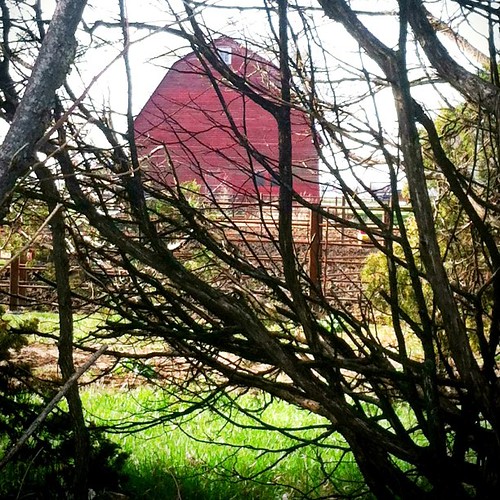
Obstructed View #red #barn #old #trees #treeporn #randombranchiness #onthefarm #meadne #outandabout #morning #alone #nothingisordinary #whpthroughthetrees #iphone #iphone4 #iphoneonly #iphoneography #ig #igers

One More #Sunrise Picture #sky #skyporn #clouds #cloudporn #sun #sunday #morning #church #meadne #iphone #iphone4 #iphoneonly #iphoneography #kitcam #accent #color_vibe #ig #igers
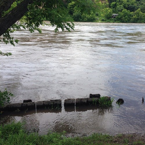
The Platte River is running full near Fremont Nebraska. #rivers #followme #explorewithdean #whereintheworldisdean #ruralamerica #america #america #beauty #nature
Topographic Map of Marietta, NE, USA
Find elevation by address:

Places in Marietta, NE, USA:
Places near Marietta, NE, USA:
948 Co Rd P
Mead
S Cedar St, Mead, NE, USA
Colon
1133 County Rd W
980 County Rd W
980 County Rd W #67
980 County Rd W #1133
980 County Rd W #1133
Ithaca
302 7th St
Wahoo
318 Elizabeth Cir
Wahoo
Center
1510 S Main St
1869 Ridgeland Ave
2525 Us-77
1155 S Broad St
W Prospect Ave, Inglewood, NE, USA
Recent Searches:
- Elevation of Corso Fratelli Cairoli, 35, Macerata MC, Italy
- Elevation of Tallevast Rd, Sarasota, FL, USA
- Elevation of 4th St E, Sonoma, CA, USA
- Elevation of Black Hollow Rd, Pennsdale, PA, USA
- Elevation of Oakland Ave, Williamsport, PA, USA
- Elevation of Pedrógão Grande, Portugal
- Elevation of Klee Dr, Martinsburg, WV, USA
- Elevation of Via Roma, Pieranica CR, Italy
- Elevation of Tavkvetili Mountain, Georgia
- Elevation of Hartfords Bluff Cir, Mt Pleasant, SC, USA

