Elevation of Marchésieux, France

Location: France > Normandy > Manche >

Longitude: -1.290648

Latitude: 49.18794

Elevation: 15m / 49feet

Barometric Pressure: 101KPa

Elevation Map:

elevation map of Marchésieux, France

Satellite Map:

Satellite map of Marchésieux, France

Related Photos:

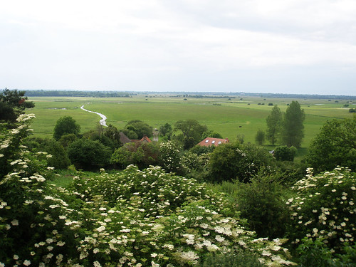
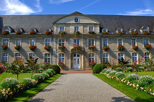
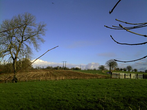
flowers roof house france tree green frankreich fields normandie bushes normandy francia frankrike graignes doublyniceshot
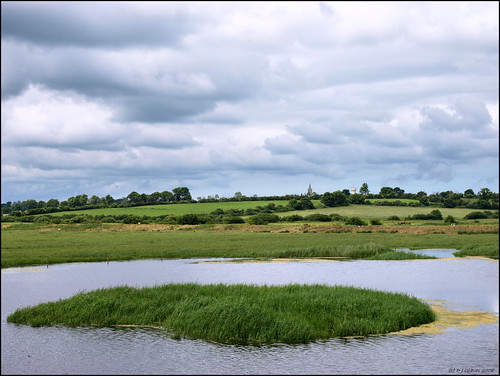
View from Graignes
holiday france normandie normandy 2012 mootman mootguy 120411suissenormandie
120411 Suisse Normandie 017
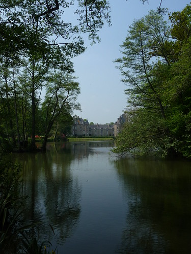
france normandy canisy châteaudecanisy
Château de Canisy
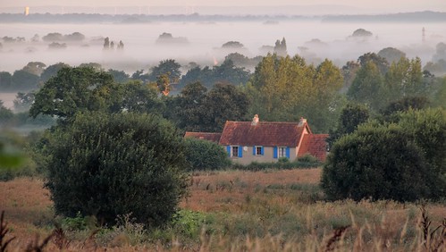
normandie normandy france house countryside valley mist field trees
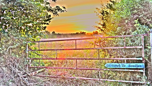
L'Hotel de Soulles, Normandie.
france normandie gate sunset cartoon photoshop modified view field countryside
L'Hotel de Soulles, Normandie.
normandie countryside sunset mist atmosphere atmospheric trees field house
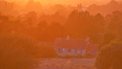
L'Hotel de Soulles, Normandie.
france normandie sunset countryside orange sky
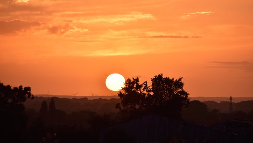
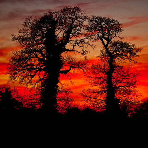
Sunset over Normandie.
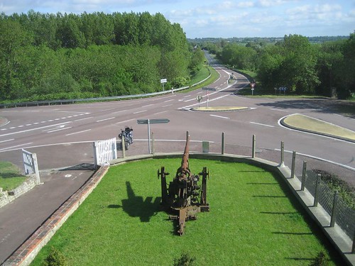
View of Dead Man's Corner from the museum
summer holiday france june landscape geotagged naturereserve normandie nr marais normandy calvados wetland républiquefrançaise birdhide française blueribbonwinner bassenormandie slightcrop parcnaturelrégional grazingmarsh wetgrassland mainhide normaundie lowlandwetgrassland lespontsdouve geo:lon=127553 parcnaturelrégionaldesmaraisducontentinetdubessin grandobservatoire geo:lat=49319416
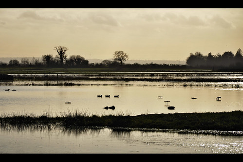
View from the bird hide
france normandie marais normandy manche cotentin leplessislastelle
Marais du Plessis-Lastelle (3612)
france normandie marais normandy manche chasse chasseur cotentin gabion
Au Gabion - Marais de La Taute (2837)
square squareformat iphoneography instagramapp uploaded:by=instagram
#Normandy #Basse #France #
manche chasse 2011 ef200mmf2 5dmkii
Crépuscule.jpg
panorama france normandie marais normandy manche cotentin bassenormandie leplessislastelle
Pano (2527-38)
River Vire, Normandy
france architecture facade hoteldeville landscaping carentan mytriptoeurope
Hotel de Ville
kap gorges marais kiteaerialphotography carentan chapellesainteanne baupte photographieaérienneparcerfvolant maraisducotentin
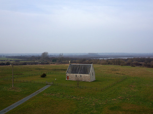
Chapelle Sainte Anne des marais à Gorges (Manche-FR)
france normandie normandy manche cotentin
Baupte - 2010-11 (7055)
cloud storm france clouds skies wheat gray stormy stormclouds auvers wheatfield
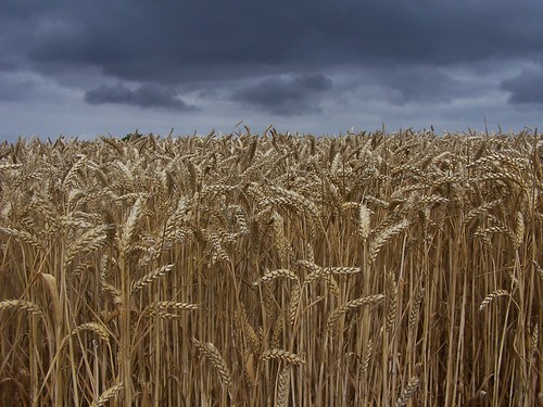
dark skies and wheat fields
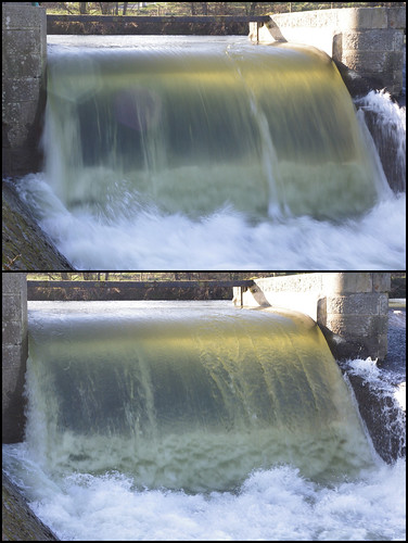
river waterfall wasserfall fluss vire lesclaiesdevire lameauffe
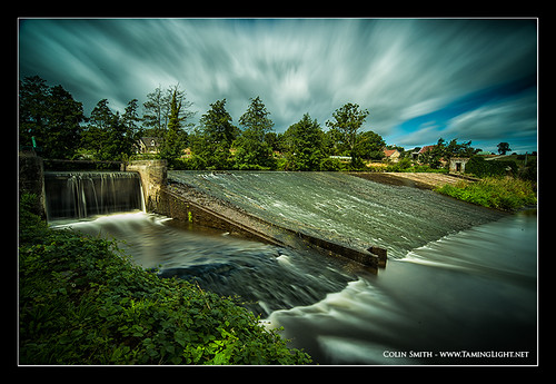
Playing with my camera
france normandie normandy
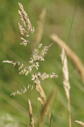
Grass seeds
france wwii worldwarii normandy dday 70th operationoverlord 6thjune versurmer euronewsdday70th en70th
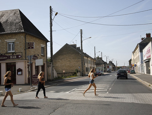
D-DAY - Rue Holgate and RN13, Carentan, 2013
portrait people france garden europe place jardin eu normandie enfant armand europeanunion ue fils arrosoir arrosage bassenormandie lieu yanngdsl unioneuropéene remillysurlozon
2010-04-10_19-23-02
2013
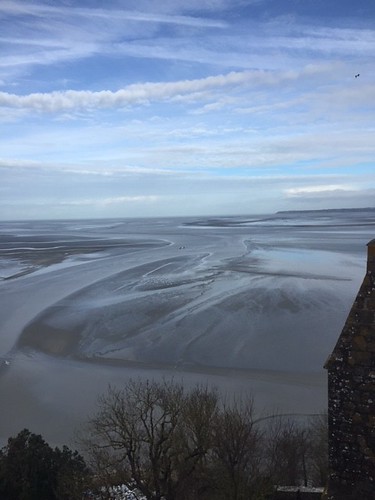
Mont Saint Michel
calvados flickrandroidapp:filter=none
2013, first morning
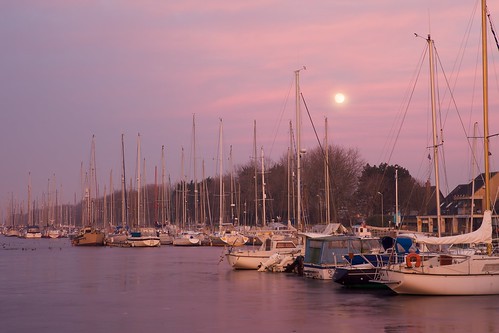
sunset france port canon landscape europe harbour normandie manche coucherdesoleil carentan
Port de Carentan
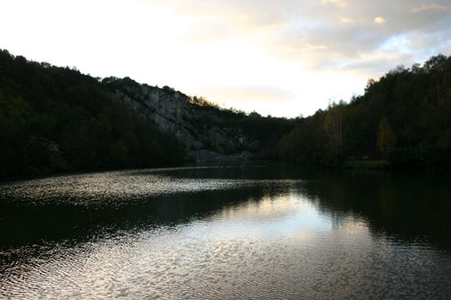
trees sunset france reflection water geotagged europe normandy quarry geolat492814440737 geolon138031693476 montecasse
Montecasse quarry
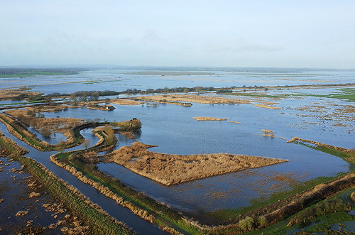
saint du come normandie kap marais mont manche kiteaerialphotography photographieaérienneparcerfvolant maraisducotentinetdubessin maraisdespontsdouve
le Marais des Ponts d'Ouve à Saint-Côme-du-Mont (Manche-FR)
france wwii worldwarii normandy dday 70th operationoverlord 6thjune versurmer euronewsdday70th en70th
D-DAY - Rue Holgate and RN13, Carentan, 1944