Elevation of Marble Hill Rd, Friendsville, TN, USA
Location: United States > Tennessee > Blount County > Friendsville >

Longitude: -84.134155

Latitude: 35.72225

Elevation: 279m / 915feet

Barometric Pressure: 98KPa

Elevation Map:

elevation map of Marble Hill Rd, Friendsville, TN, USA

Satellite Map:

Satellite map of Marble Hill Rd, Friendsville, TN, USA

Related Photos:

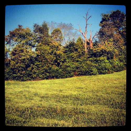
White Cap Smoky Mountains
square squareformat iphoneography instagramapp xproii uploaded:by=instagram foursquare:venue=4b717625f964a520e4472de3
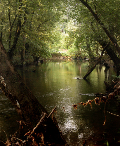
View from Unit52 #xspindoc #WHQ
trees green nature water rural d50 ilovenature topv555 topv333 scenery stream tennessee country rustic nikond50 brook michaels crm blountcounty 250v10f cliffmichaels aplusphoto 30010 superhearts tennpenny photoscliff
Downstream View
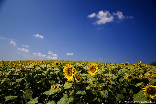
sunflowers sunflowerfarm janicewagnon jwagnonphotography thankyoudebcampbell sunflowerpalooza blountandloudoncountiestn 50acresofsunflowers
Sunflowerpalooza!
birds
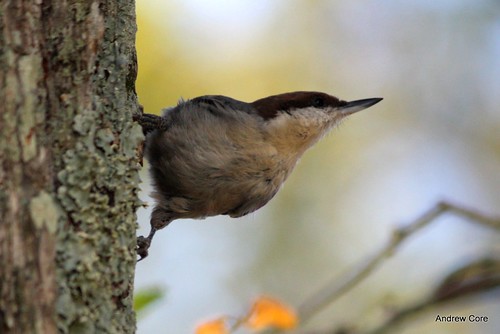
Brown-headed Nuthatch
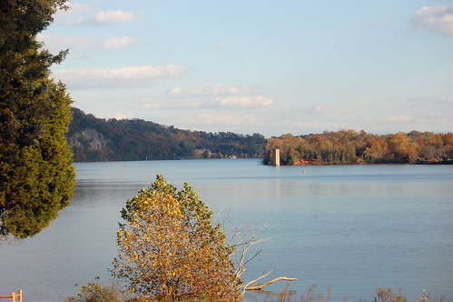
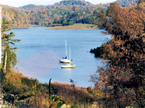
The View from Admiral Farragut Park
birds
Brown-headed Nuthatch
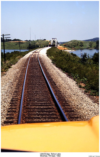
railroad trestle bridge tennessee railway ln littletennessee mcghee steeltruss louisvillenashville tellicolake highrail highrailer
L&N Tellico Lake Bridge
birds
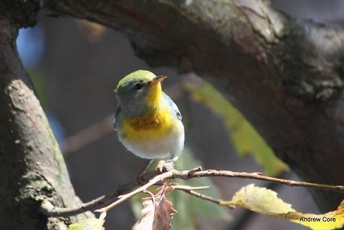
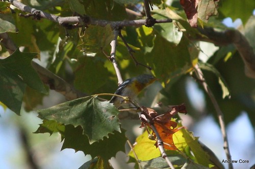
Northern Parula
cabin peterson teleco
pete155.jpg
tellicovillage wholesalehardware sloanhardware
Sloan Hardware -A TRADITION OF RETAIL
autumn tennessee fortloudoun october612
View from the fort
winter lake snow cold water d50 frozen nikon knoxville tennessee 2010 concordpark
Deep Freeze
cameraphone vacation airport byemail knoxville tennesseee tysonmcgheeairport
We're On Our Way!
house snow dock lanscapesscenes hiddencovehouse
docks_ice.jpg
usa boat tennessee lakeloudon wattsbar fortloudonlocks
lock_loudon.jpg
maryvillecollege
View of the the courtyard out of Jakob's room.
photostream
Duck Cove
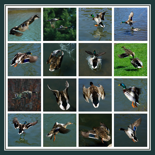
fly duck flight mallard
Flight of the Mallard
birds
Northern Parula
birds
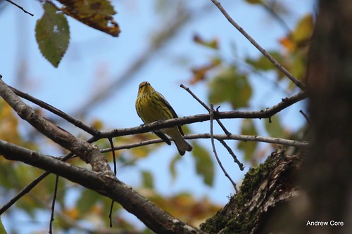
Cape May Warbler
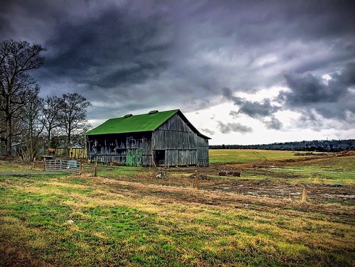
Barn on Hwy 411
square squareformat hefe iphoneography instagramapp uploaded:by=instagram
Emerald reflection
2011-11-08 06.55.48
2011-10-14 05.29.22
Sunset at Louisville Point Park September 16, 2014
square lofi squareformat iphoneography instagramapp uploaded:by=instagram foursquare:venue=4b4d031df964a520b0c726e3
Lovely spot for Friday afternoon #happyhour
Sunset at Louisville Point Park September 16, 2014
travel mountains fall photography unitedstates outdoor hiking tennessee tellico easttennessee marklewis
Tellico November 2014
Sunset at Louisville Point Park September 16, 2014
unitedstates tennessee greenback
IMG_1645.jpg
square squareformat iphoneography instagramapp uploaded:by=instagram foursquare:venue=4c4a1d9ef7cc1b8d1549f13d
Passing time. #fishing #tnlakes #tellicolake #tennesseeriver #sunset #clouds
usa tennessee sunsets ftloudonlakelenoircitytnusaftloudonlake waterftloudonlakelenoircitytnusa
2009-09-22_Loudon Lake__MG_3834
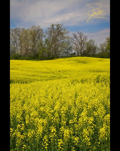
yellow canon unitedstates farm tennessee f11 canola greenback 24105 ef24105mmf4lisusm canoneos5dmarkii baileysrd
Canola Field
snow barn geese dam tennessee ducks goose oldbarns drake beechcraft oldtruck hdr mallards spillway oldbarn maryville minen ducksswimming modelaa uc45jnavigator bicentennialgreenwaypark
Bicentennial Greenbelt Park Dam
nokia tennessee digitalzoom cliffjumping lumia1020
Cliff Jumping [Nokia Lumia 1020]
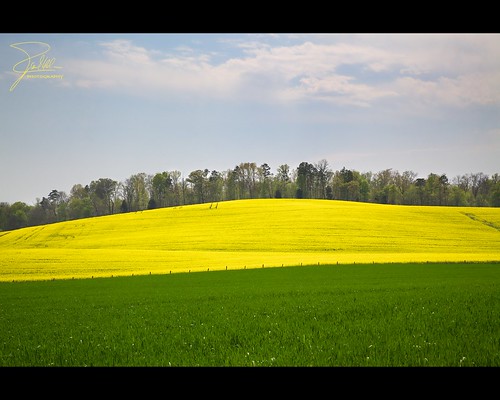
yellow canon unitedstates farm tennessee f11 canola greenback 24105 ef24105mmf4lisusm canoneos5dmarkii baileysrd
Canola Field