Elevation of Mar-Lu-Ridge, Mar Lu Ridge Rd, Jefferson, MD, USA
Location: United States > Maryland > Frederick County > 14, Jefferson > Jefferson >
Longitude: -77.531752
Latitude: 39.3141111
Elevation: 320m / 1050feet
Barometric Pressure: 98KPa
Elevation Map:
Satellite Map:
Related Photos:

Birds Watcher with Wrong Lens
Sugarloaf Mountain

2018-11-14_09-03-51

Snow on the rocks looking towards Harper's Ferry

Looking towards Harpers Ferry West Virginia

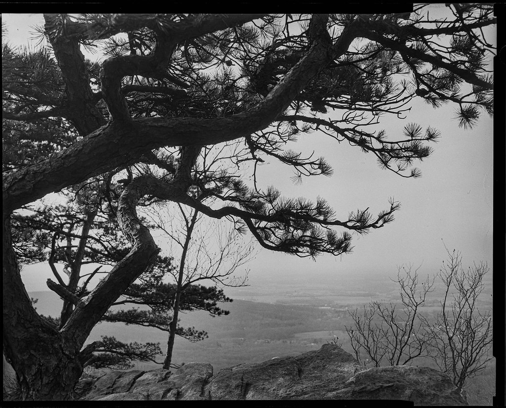
White Rocks View

20171106_122054-01

Enchanted Winter Morning

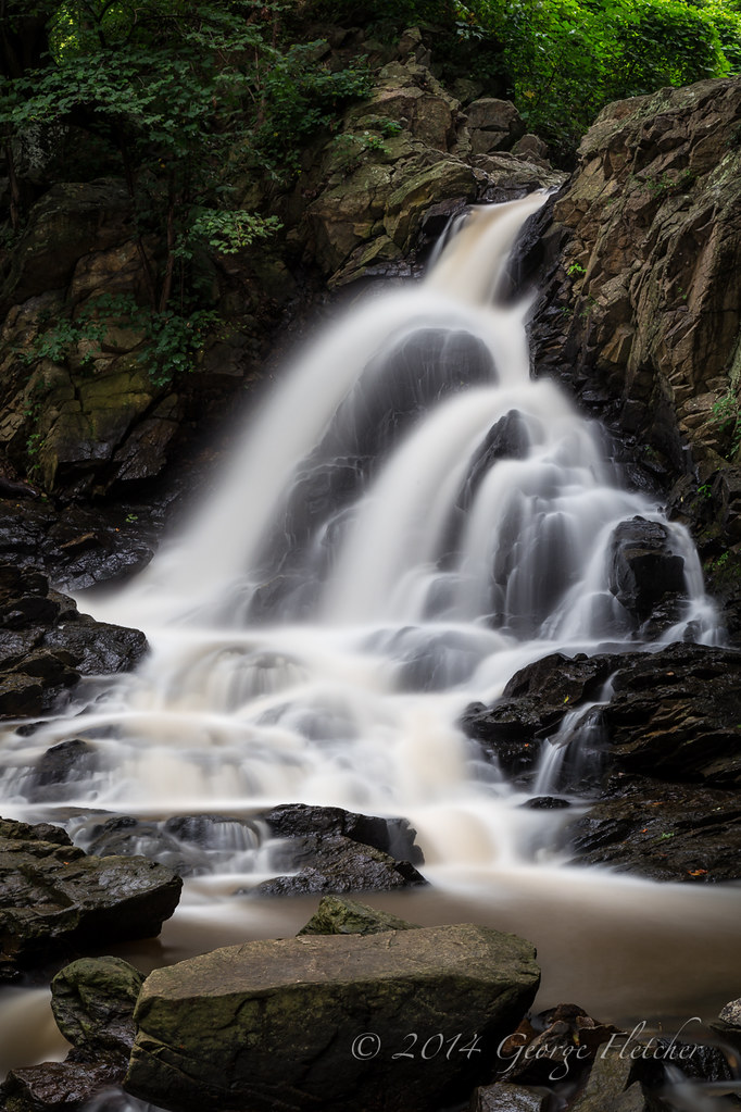
Waterfall Reflections

farming a storm

Farm and Yellow Landscape?

CSX Q372 - Frederick, MD

Tranquil Days End ~Explore~

Twilight Cathedral ~Explore~
Sit and Listen

Appalachian Trail

2017-11-04_09-59-15

Appalachian Trail

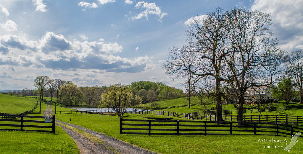
Farm landscape Edit- HDR

Sun rising over the Potomac River* Snapseed
HFF 11
Topographic Map of Mar-Lu-Ridge, Mar Lu Ridge Rd, Jefferson, MD, USA
Find elevation by address:

Places near Mar-Lu-Ridge, Mar Lu Ridge Rd, Jefferson, MD, USA:
3377 Mar Lu Ridge Rd
3377 Mar Lu Ridge Rd
Fry Rd, Jefferson, MD, USA
Basford Rd, Frederick, MD, USA
Mar Lu Ridge Road
Lander Rd, Jefferson, MD, USA
Point of Rocks Rd, Jefferson, MD, USA
Ballenger Creek Pike, Adamstown, MD, USA
Lander Boat Ramp
Mountville Rd, Frederick, MD, USA
Ballenger Creek Pike
14, Jefferson
1700 Canal Run Dr
Thomas Dr, Point of Rocks, MD, USA
Point Of Rocks
Pecan Ct, Jefferson, MD, USA
3663a
Doubs Rd, Adamstown, MD, USA
Jefferson
Buckeystown
Recent Searches:
- Elevation of Corso Fratelli Cairoli, 35, Macerata MC, Italy
- Elevation of Tallevast Rd, Sarasota, FL, USA
- Elevation of 4th St E, Sonoma, CA, USA
- Elevation of Black Hollow Rd, Pennsdale, PA, USA
- Elevation of Oakland Ave, Williamsport, PA, USA
- Elevation of Pedrógão Grande, Portugal
- Elevation of Klee Dr, Martinsburg, WV, USA
- Elevation of Via Roma, Pieranica CR, Italy
- Elevation of Tavkvetili Mountain, Georgia
- Elevation of Hartfords Bluff Cir, Mt Pleasant, SC, USA