Elevation of Mappedeceng, North Luwu Regency, South Sulawesi, Indonesia
Location: Indonesia > South Sulawesi > North Luwu Regency >
Longitude: 120.412716
Latitude: -2.5166955
Elevation: 139m / 456feet
Barometric Pressure: 100KPa
Elevation Map:
Satellite Map:
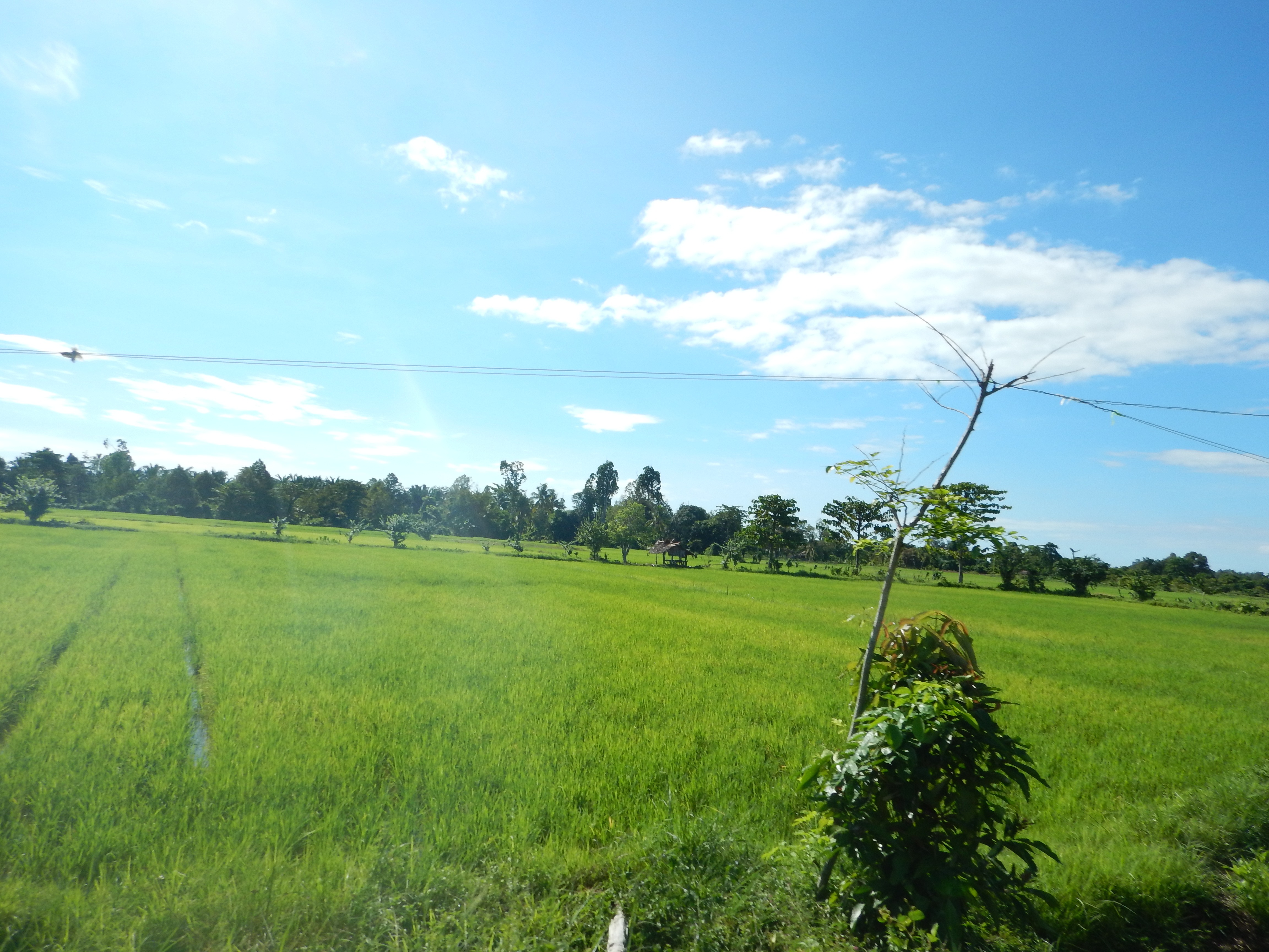
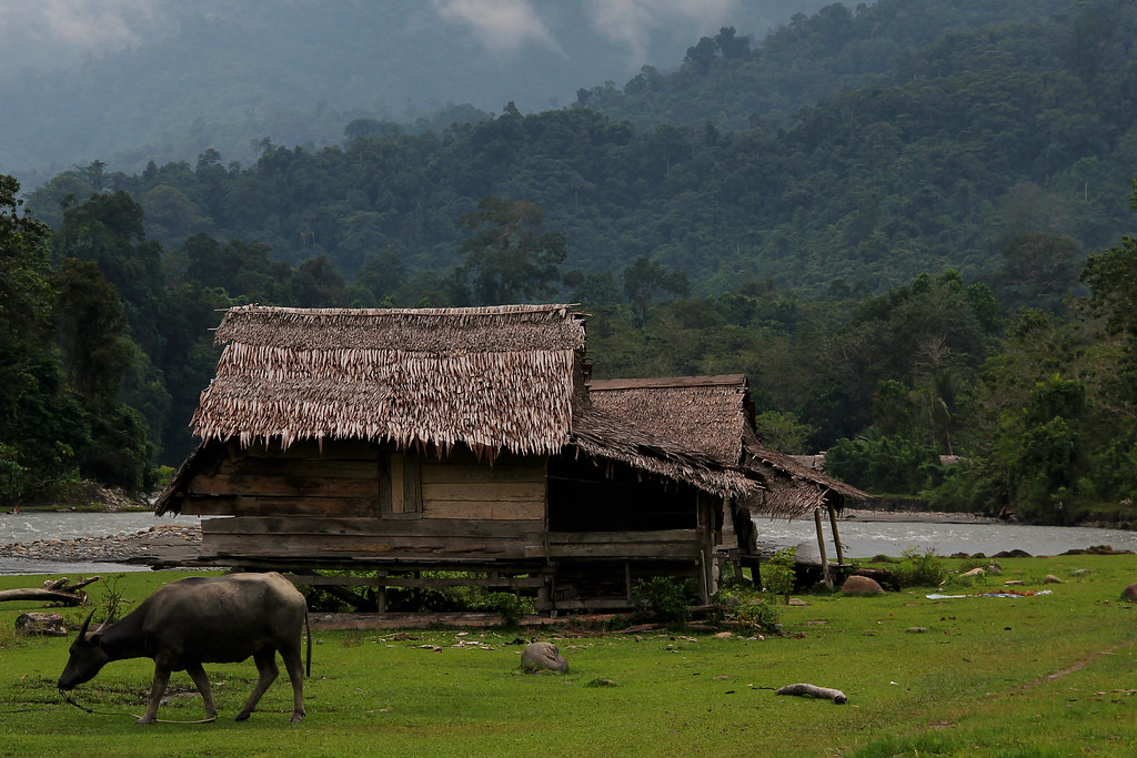
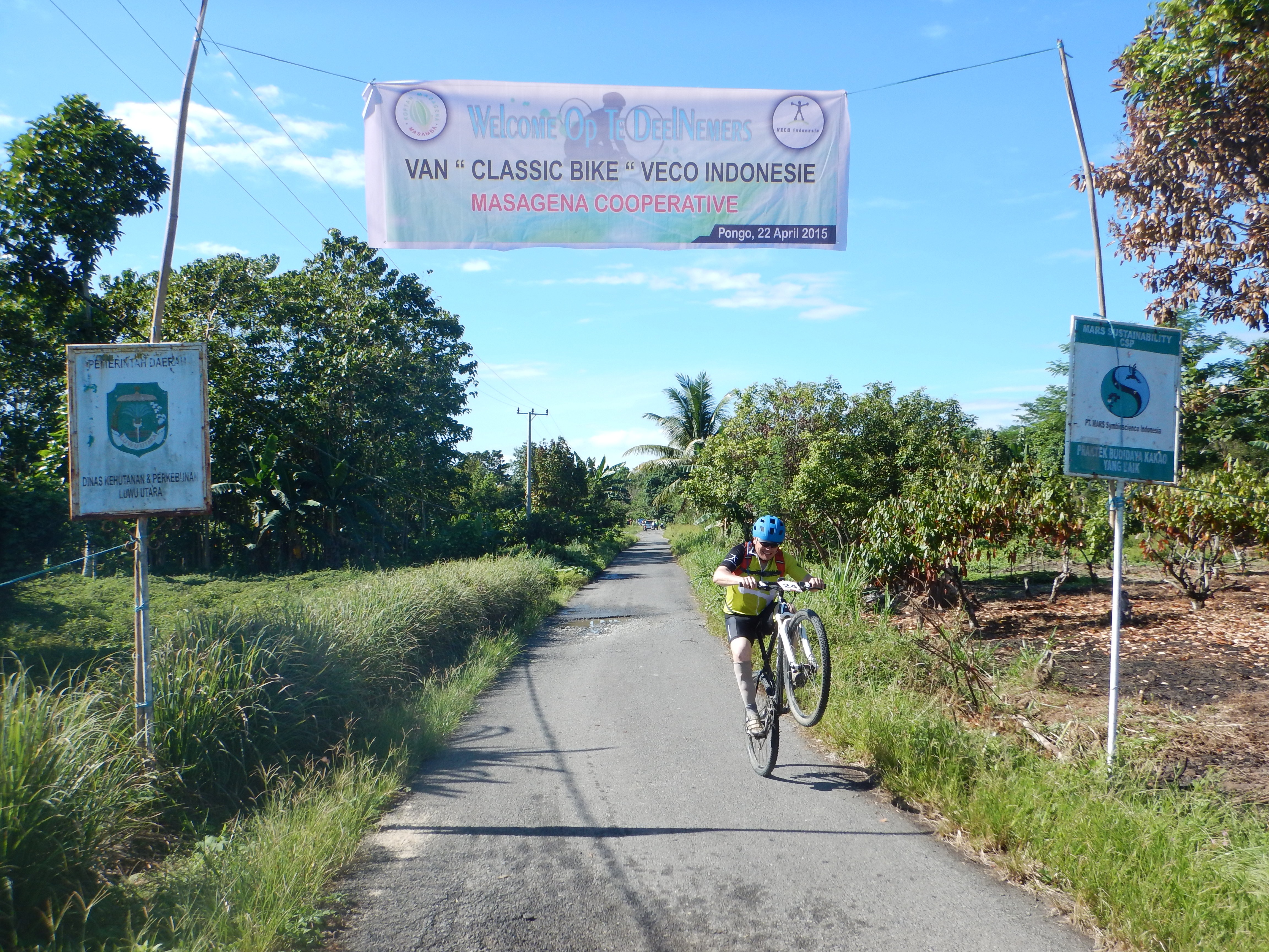
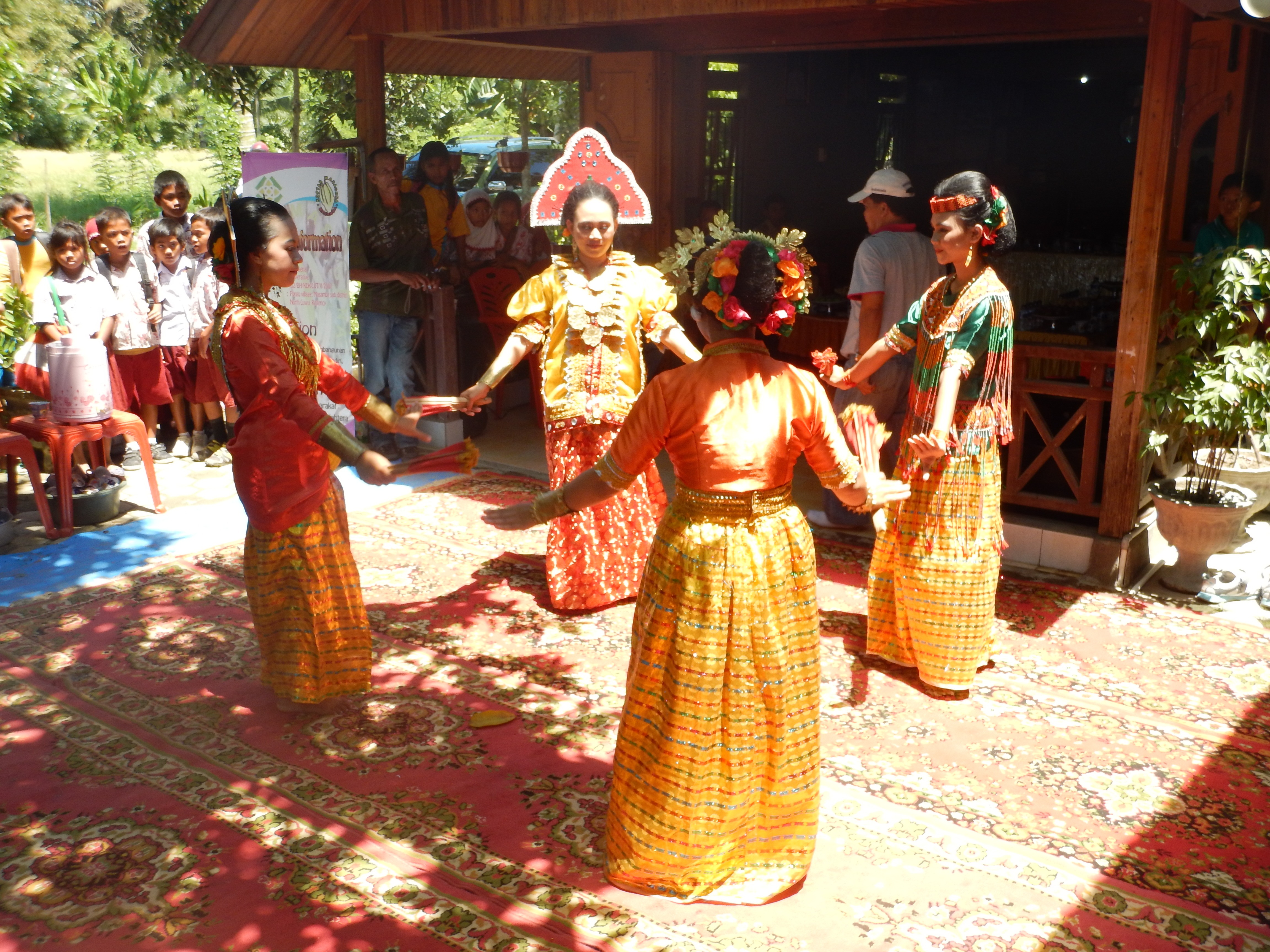
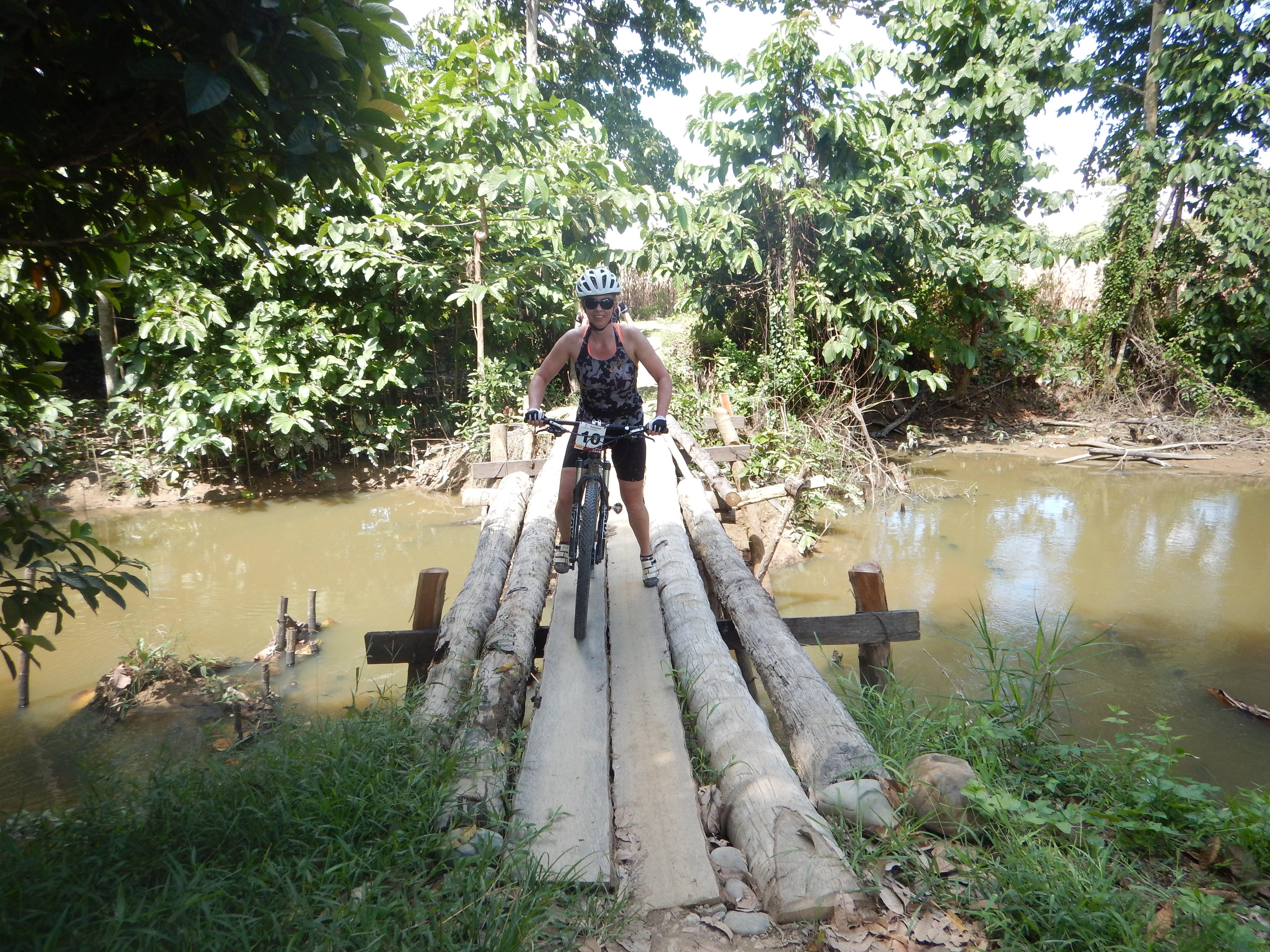
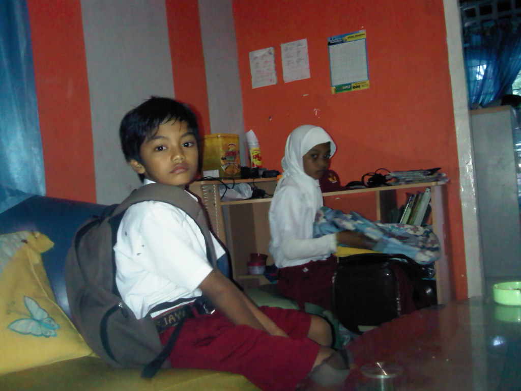
Related Photos:
Sulawesi 2015_721
Sungai Balease
Sulawesi 2015_711
Sulawesi 2015_727

Sulawesi 2015_729

Sulawesi 2015_732

Sulawesi 2015_734

Sulawesi 2015_750

Sulawesi 2015_749

Sulawesi 2015_751

Sulawesi 2015_752
Sulawesi 2015_756
Sulawesi 2015_771
Chesta-Chya

Dhaniel-Filza-Chesta

You Are Next!

Pulang Sekolah Langsung Makan
Topographic Map of Mappedeceng, North Luwu Regency, South Sulawesi, Indonesia
Find elevation by address:

Places in Mappedeceng, North Luwu Regency, South Sulawesi, Indonesia:
Places near Mappedeceng, North Luwu Regency, South Sulawesi, Indonesia:
Uraso
Buyu Balease
Taloto
North Luwu Regency
West Pamona
Sapan
Seko
Malimongan
Sulawesi
Toinasa
Pipikoro
Poso Regency
Peana
Karossa
Kulawi
Bulu Torompupu
Recent Searches:
- Elevation of Corso Fratelli Cairoli, 35, Macerata MC, Italy
- Elevation of Tallevast Rd, Sarasota, FL, USA
- Elevation of 4th St E, Sonoma, CA, USA
- Elevation of Black Hollow Rd, Pennsdale, PA, USA
- Elevation of Oakland Ave, Williamsport, PA, USA
- Elevation of Pedrógão Grande, Portugal
- Elevation of Klee Dr, Martinsburg, WV, USA
- Elevation of Via Roma, Pieranica CR, Italy
- Elevation of Tavkvetili Mountain, Georgia
- Elevation of Hartfords Bluff Cir, Mt Pleasant, SC, USA