Elevation of Maple St, Westfield, PA, USA
Location: United States > Pennsylvania > Tioga County >
Longitude: -77.5244
Latitude: 41.867434
Elevation: 502m / 1647feet
Barometric Pressure: 95KPa
Elevation Map:
Satellite Map:
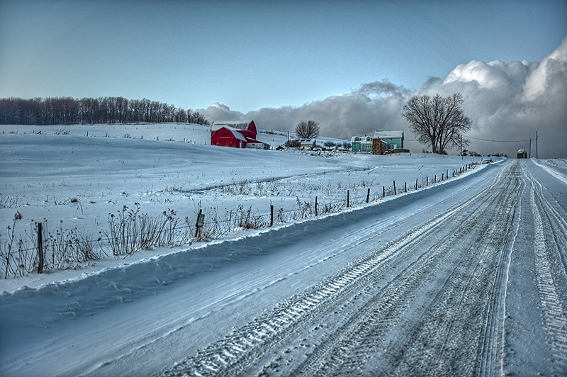
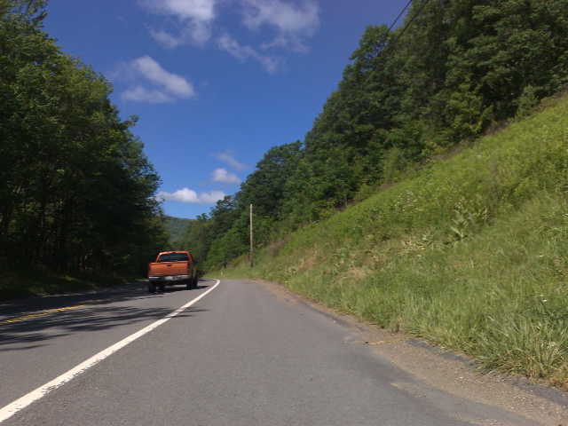
Related Photos:
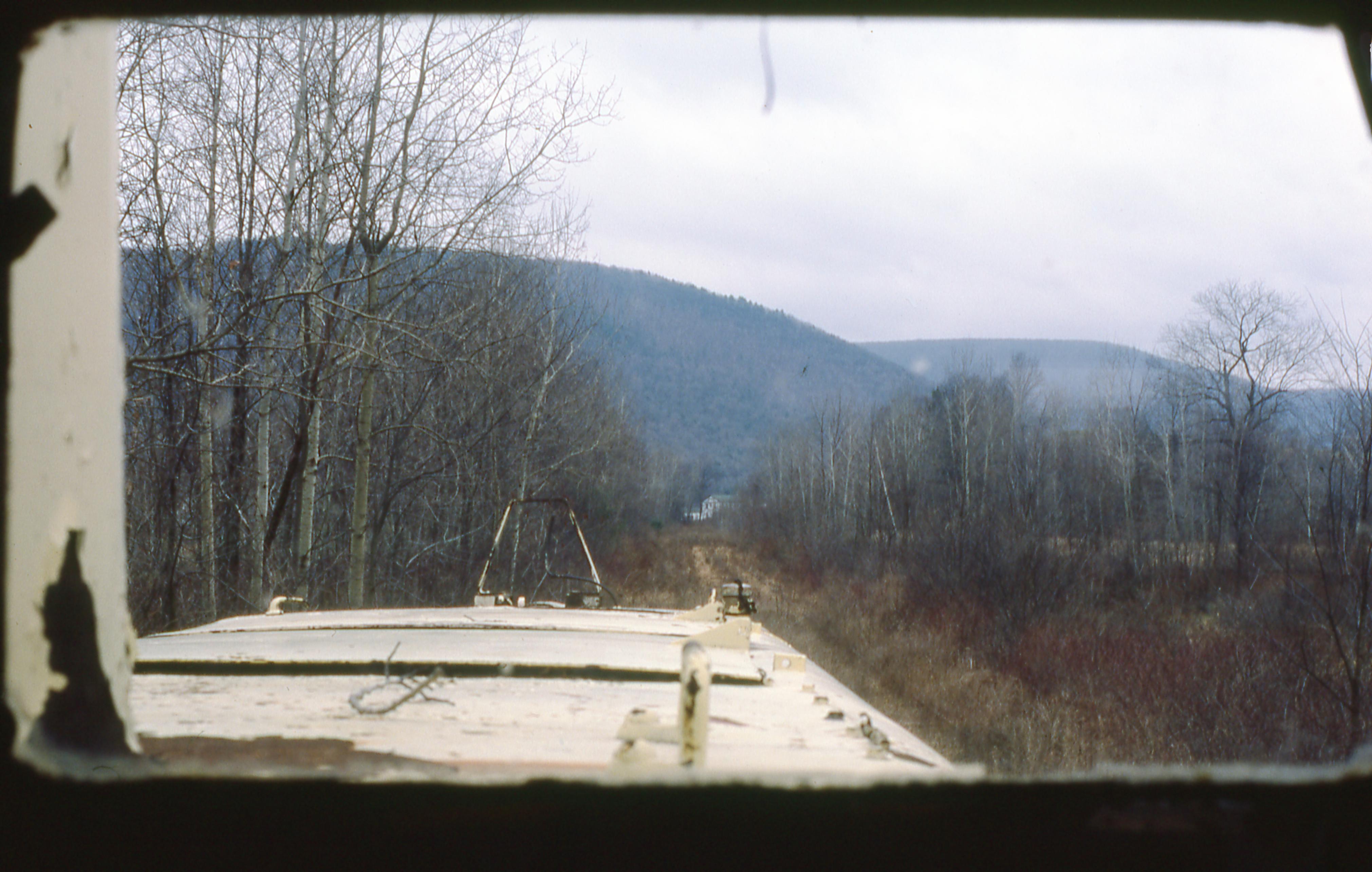
Looking Out of WAG 1700 at Ansonia
PA Wilderness

Thanksgiving2015 21242

buck on druck hill
Blue Steel took a picture!

With Some Signs of Clearing
Asaph Run Campground

Ackley Hill

Kind of a Gray Morning
green house north fork2-fdr
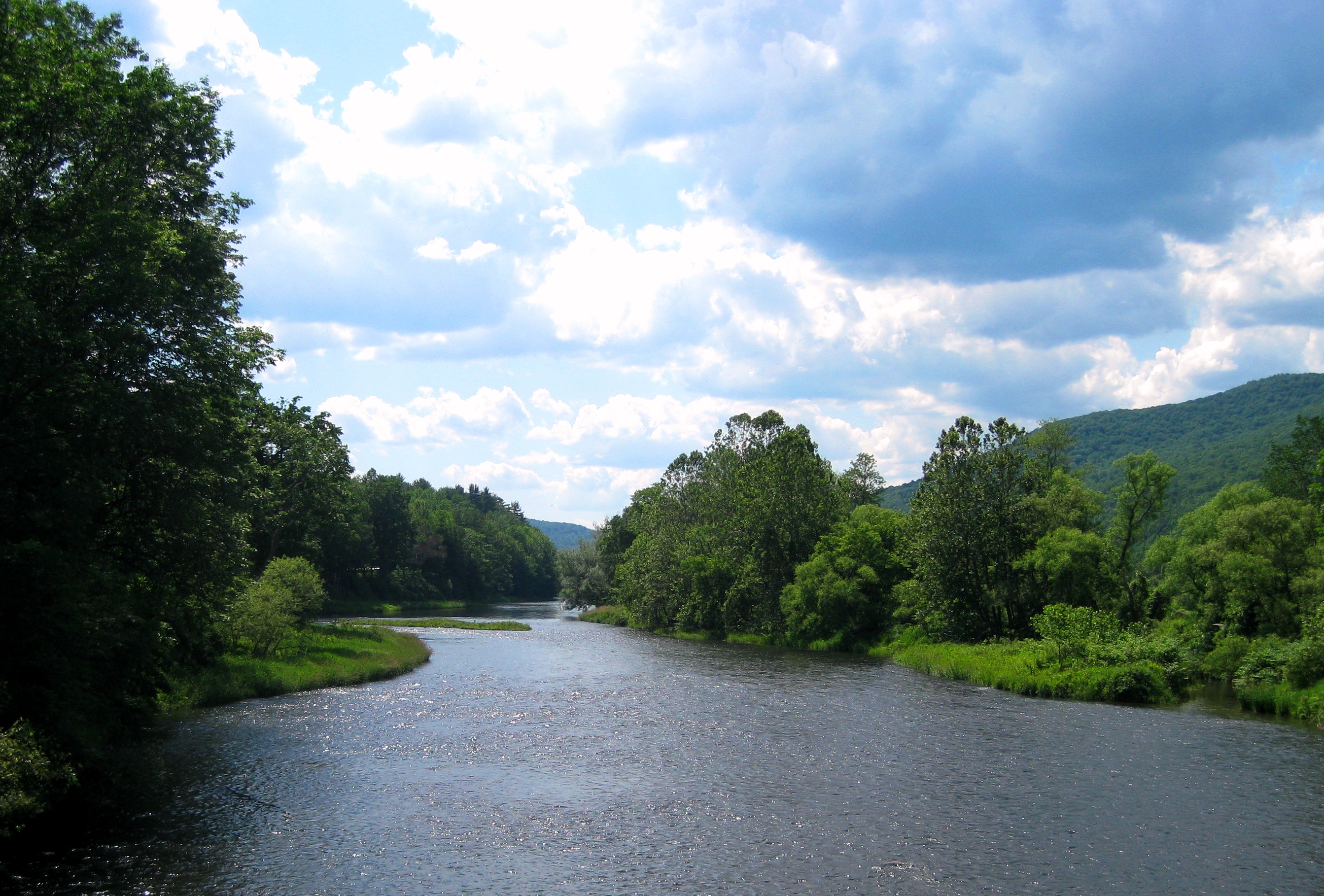
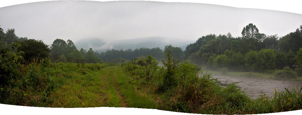
Pine Creek
Blue Steel took a picture!

IMG_5111 - Version 2

Pine Creek
Topographic Map of Maple St, Westfield, PA, USA
Find elevation by address:

Places near Maple St, Westfield, PA, USA:
Clymer Township
455 Aseita Rd
Westfield
E Main St, Westfield, PA, USA
6578 Pa-249
Butler Rd, Sabinsville, PA, USA
PA-49, Westfield, PA, USA
79 Pa-49
507 Dug Rd
594 Blair Creek Rd
Chatham Township
Knoxville
418 N Water St
3420 Potter Rd
Deerfield Township
Hector Township
105 Morehouse Rd
Doan Road
Forks Road
107 Doan Rd
Recent Searches:
- Elevation of Corso Fratelli Cairoli, 35, Macerata MC, Italy
- Elevation of Tallevast Rd, Sarasota, FL, USA
- Elevation of 4th St E, Sonoma, CA, USA
- Elevation of Black Hollow Rd, Pennsdale, PA, USA
- Elevation of Oakland Ave, Williamsport, PA, USA
- Elevation of Pedrógão Grande, Portugal
- Elevation of Klee Dr, Martinsburg, WV, USA
- Elevation of Via Roma, Pieranica CR, Italy
- Elevation of Tavkvetili Mountain, Georgia
- Elevation of Hartfords Bluff Cir, Mt Pleasant, SC, USA