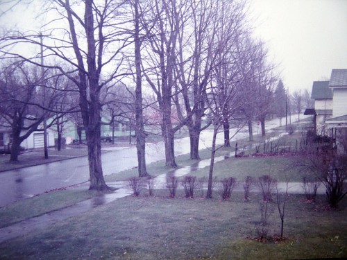
Elevation of Maple St, Big Rapids, MI, USA
Location: United States > Michigan > Mecosta County > Big Rapids >
Longitude: -85.483444
Latitude: 43.6979063
Elevation: 283m / 928feet
Barometric Pressure: 98KPa
Related Photos:
Topographic Map of Maple St, Big Rapids, MI, USA
Find elevation by address:

Places near Maple St, Big Rapids, MI, USA:
Big Rapids
217 Escott St
217 Escott St
217 Escott St
North Dekraft Avenue
Big Rapids, MI, USA
Green Charter Township
Northland Dr, Paris, MI, USA
Paris
23799 20 Mile Rd
23687 165th Ave
Mecosta County
Hersey
Goodwell Township
765 S Mill St
th Ave, Rodney, MI, USA
5274 E 6 Mile Rd
9631 N Calgary Dr
South Calgary Drive
Chase
Recent Searches:
- Elevation of Corso Fratelli Cairoli, 35, Macerata MC, Italy
- Elevation of Tallevast Rd, Sarasota, FL, USA
- Elevation of 4th St E, Sonoma, CA, USA
- Elevation of Black Hollow Rd, Pennsdale, PA, USA
- Elevation of Oakland Ave, Williamsport, PA, USA
- Elevation of Pedrógão Grande, Portugal
- Elevation of Klee Dr, Martinsburg, WV, USA
- Elevation of Via Roma, Pieranica CR, Italy
- Elevation of Tavkvetili Mountain, Georgia
- Elevation of Hartfords Bluff Cir, Mt Pleasant, SC, USA
