Elevation of Manzana 11, Veracruz, Mexico
Location: Mexico > Veracruz >
Longitude: -98.469066
Latitude: 20.4217152
Elevation: 2606m / 8550feet
Barometric Pressure: 74KPa
Elevation Map:
Satellite Map:
Related Photos:

Mexican Canyons
Agua Blanca Iturbide, Hidalgo

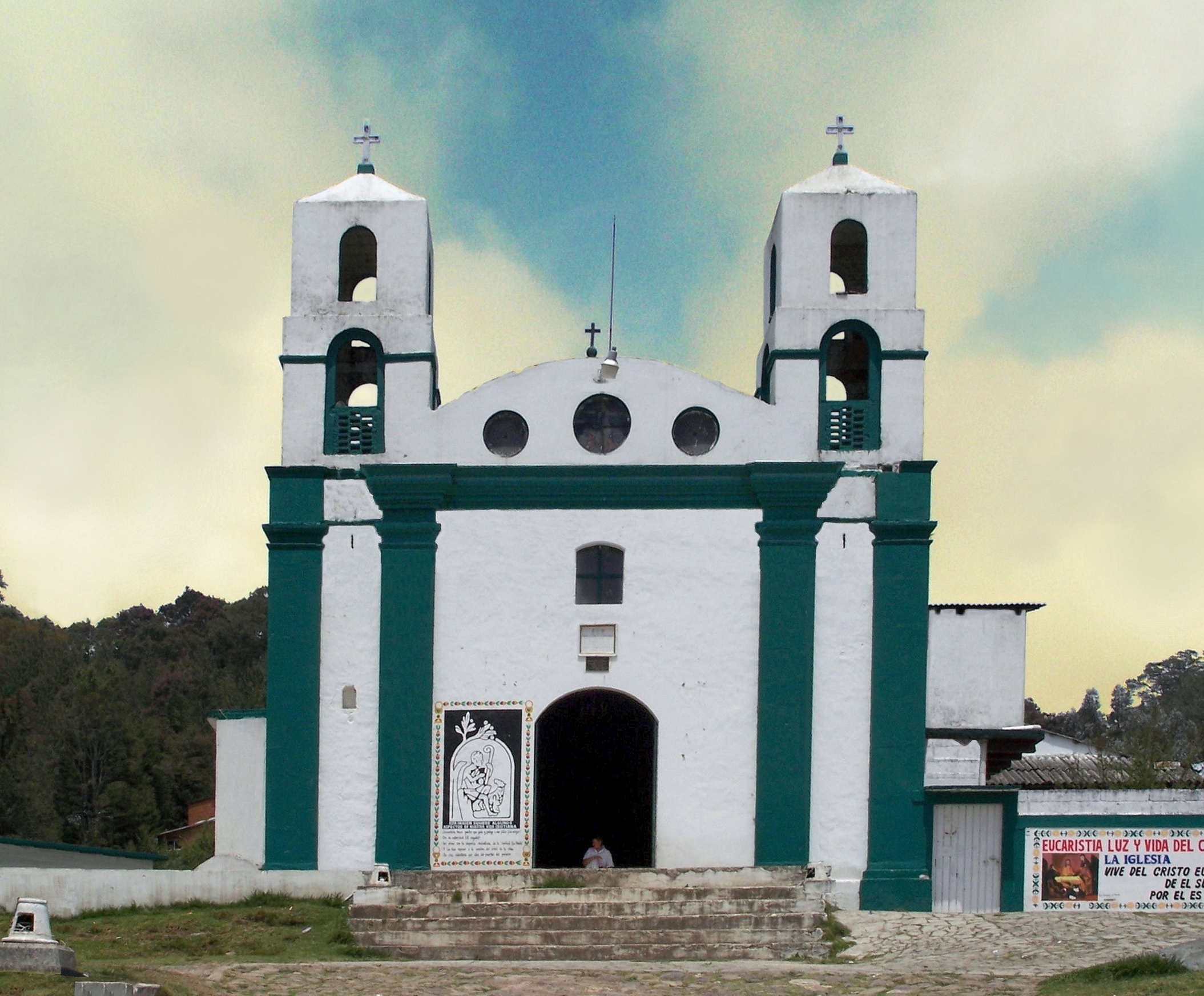
Jefe santos

Cempasúchil
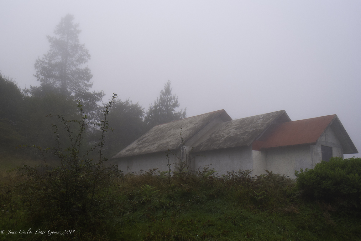
Viborillas Huayacocotla, Ver.
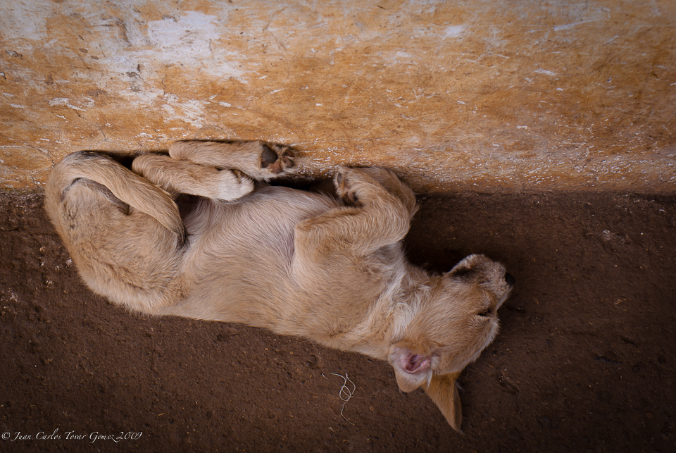
Cachorro durmiendo
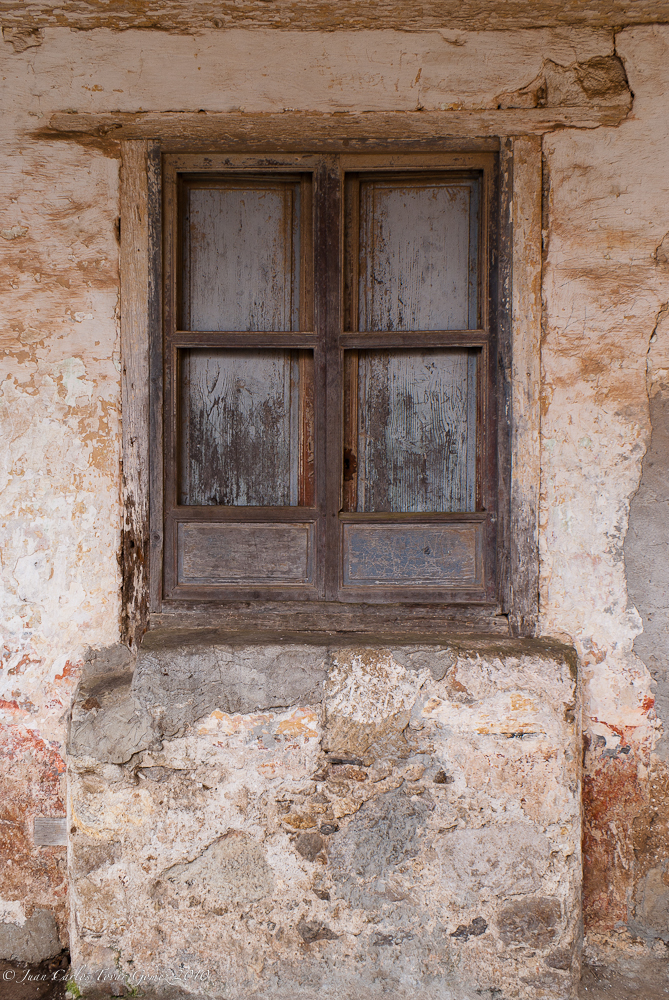
Ventana a mi pasado

Nido de hadas
Topographic Map of Manzana 11, Veracruz, Mexico
Find elevation by address:

Places near Manzana 11, Veracruz, Mexico:
Hacienda Santa María Regla
Basaltic Prisms Of Santa María Regla
Cabañas San Isidro
Atotonilco El Grande
Atotonilco El Grande
Huasca De Ocampo
Huasca De Ocampo
HGO 37, Hidalgo, Mexico
Atotonilco
Spa Hotel Amajac
Acatlán
Centro
Melchor Ocampo 58, Centro, Ejido del Centro, Hgo., Mexico
Omitlán De Juárez
Mineral Del Chico
Mineral Del Chico
Metztitlán
A Rufina 41, Purero, Mineral del Monte, Hgo., Mexico
Carr Pachuca-Estanzuela 35, Hidalgo, Mexico
Río De La Soledad
Recent Searches:
- Elevation of Corso Fratelli Cairoli, 35, Macerata MC, Italy
- Elevation of Tallevast Rd, Sarasota, FL, USA
- Elevation of 4th St E, Sonoma, CA, USA
- Elevation of Black Hollow Rd, Pennsdale, PA, USA
- Elevation of Oakland Ave, Williamsport, PA, USA
- Elevation of Pedrógão Grande, Portugal
- Elevation of Klee Dr, Martinsburg, WV, USA
- Elevation of Via Roma, Pieranica CR, Italy
- Elevation of Tavkvetili Mountain, Georgia
- Elevation of Hartfords Bluff Cir, Mt Pleasant, SC, USA