Elevation map of Manyoni, Tanzania
Location: Tanzania > Singida Region >
Longitude: 34.1531947
Latitude: -6.7453352
Elevation: 1260m / 4134feet
Barometric Pressure: 87KPa
Elevation Map:
Satellite Map:
Related Photos:
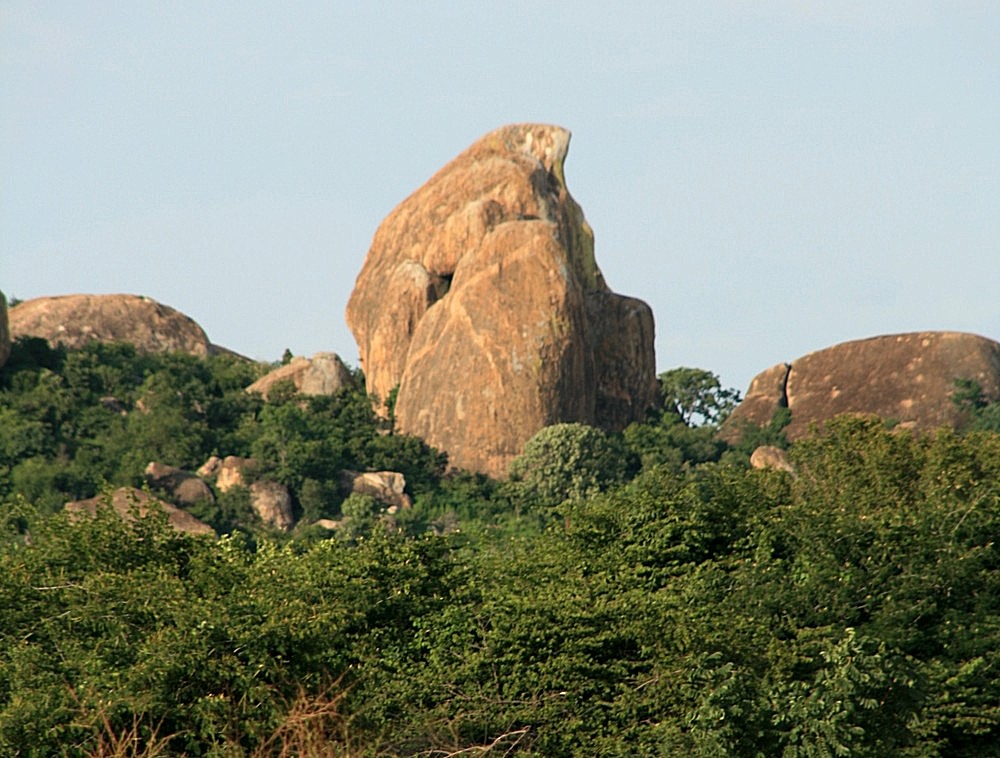
Eagle Head
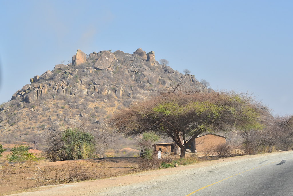
Manyoni work site, another angle

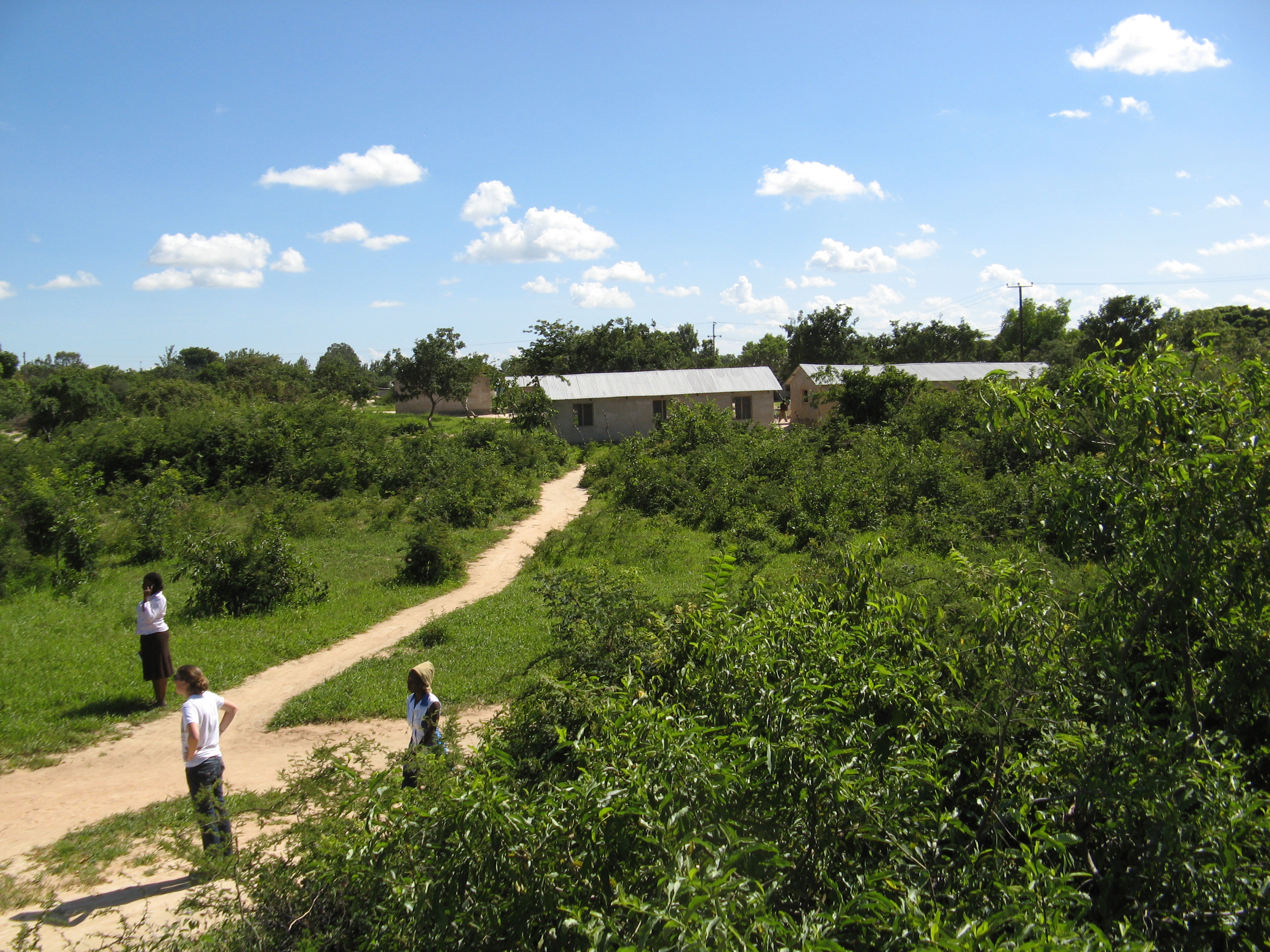
Manyoni Community Center site

Francolin, Crested_Manyoni reserve, South Africa_DES_D7A6323
Tanzania October 2016 Babati to Dodoma Image 37
Topographic Map of Manyoni, Tanzania
Find elevation by address:

Places in Manyoni, Tanzania:
Places near Manyoni, Tanzania:
Recent Searches:
- Elevation of Corso Fratelli Cairoli, 35, Macerata MC, Italy
- Elevation of Tallevast Rd, Sarasota, FL, USA
- Elevation of 4th St E, Sonoma, CA, USA
- Elevation of Black Hollow Rd, Pennsdale, PA, USA
- Elevation of Oakland Ave, Williamsport, PA, USA
- Elevation of Pedrógão Grande, Portugal
- Elevation of Klee Dr, Martinsburg, WV, USA
- Elevation of Via Roma, Pieranica CR, Italy
- Elevation of Tavkvetili Mountain, Georgia
- Elevation of Hartfords Bluff Cir, Mt Pleasant, SC, USA