Elevation of Manthoka Waterfall, Madhupur - Mantho Rd
Longitude: 75.9947968
Latitude: 35.066229
Elevation: 2429m / 7969feet
Barometric Pressure: 75KPa
Elevation Map:
Satellite Map:
Related Photos:
The faintest cry
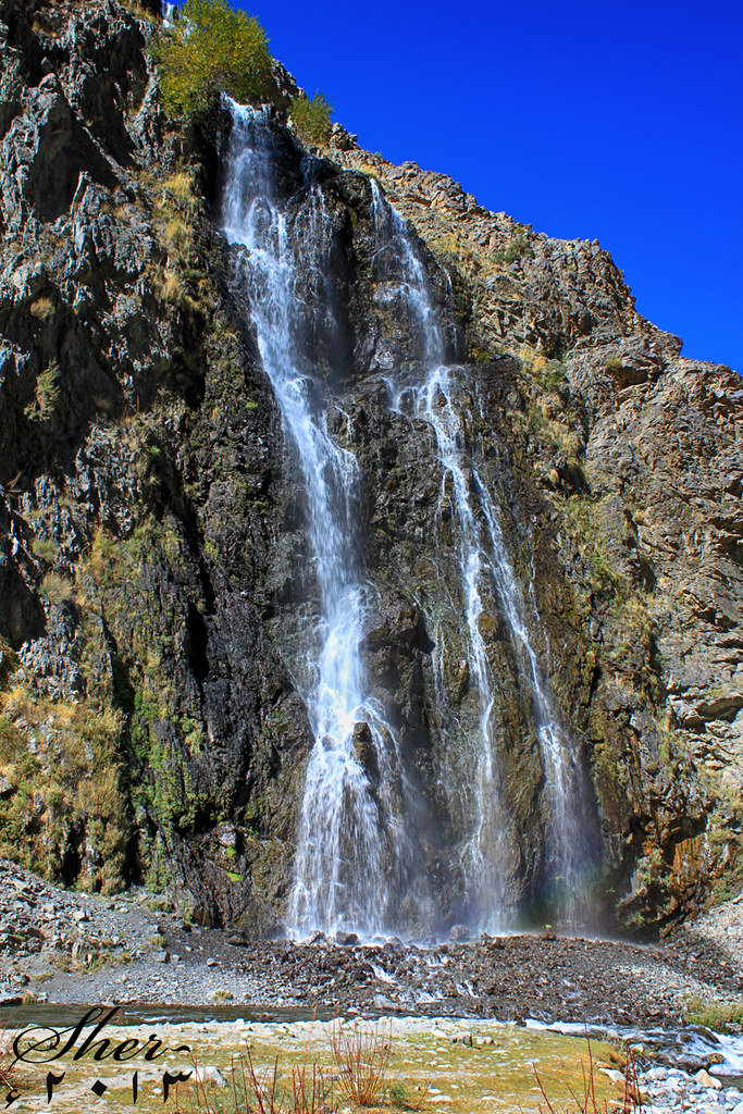
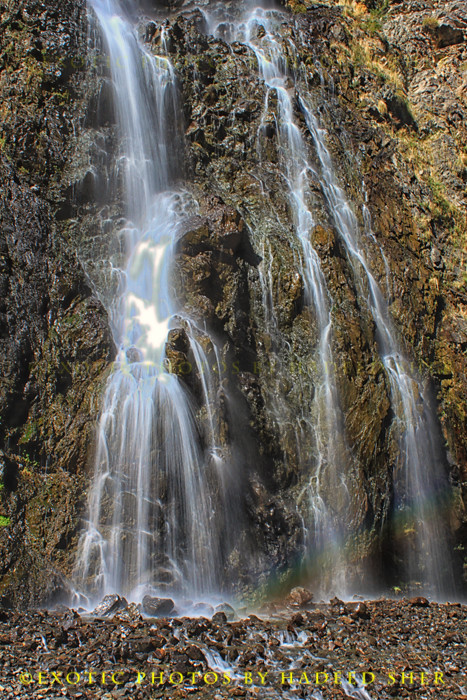
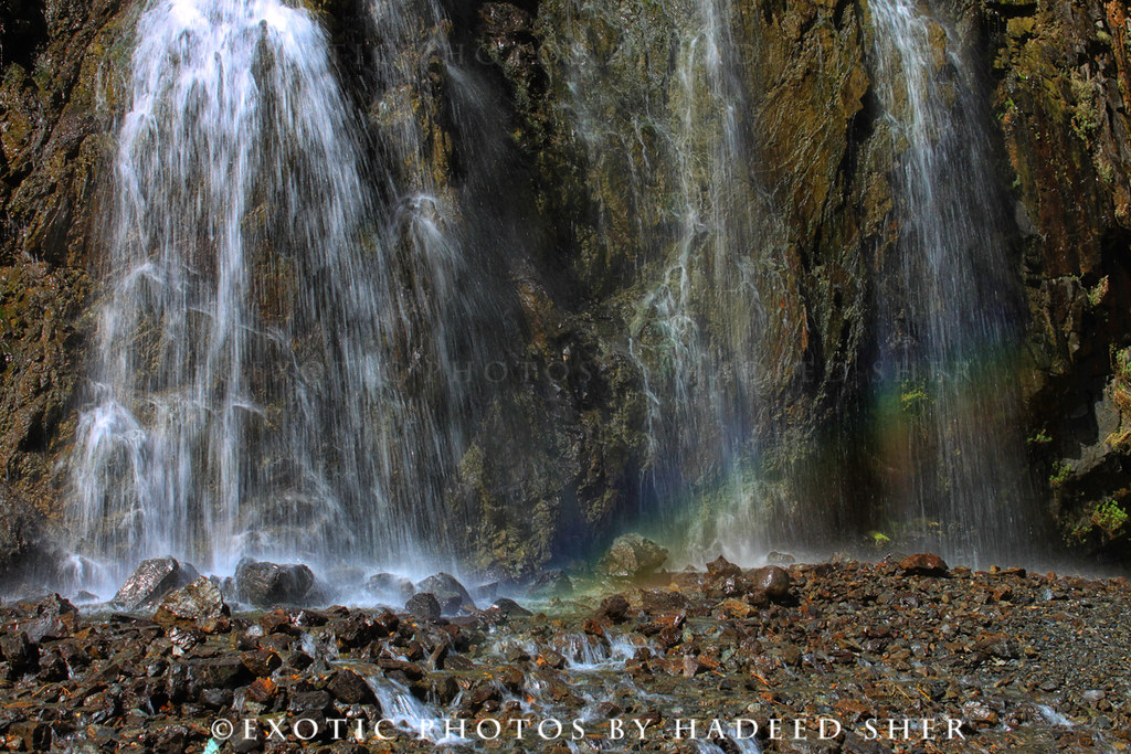
Mantokha Falls | Skardu Valley
The falls of Mantokha !!
Khaplu, Ghanche, Gilgit-Baltistan, Pakistan
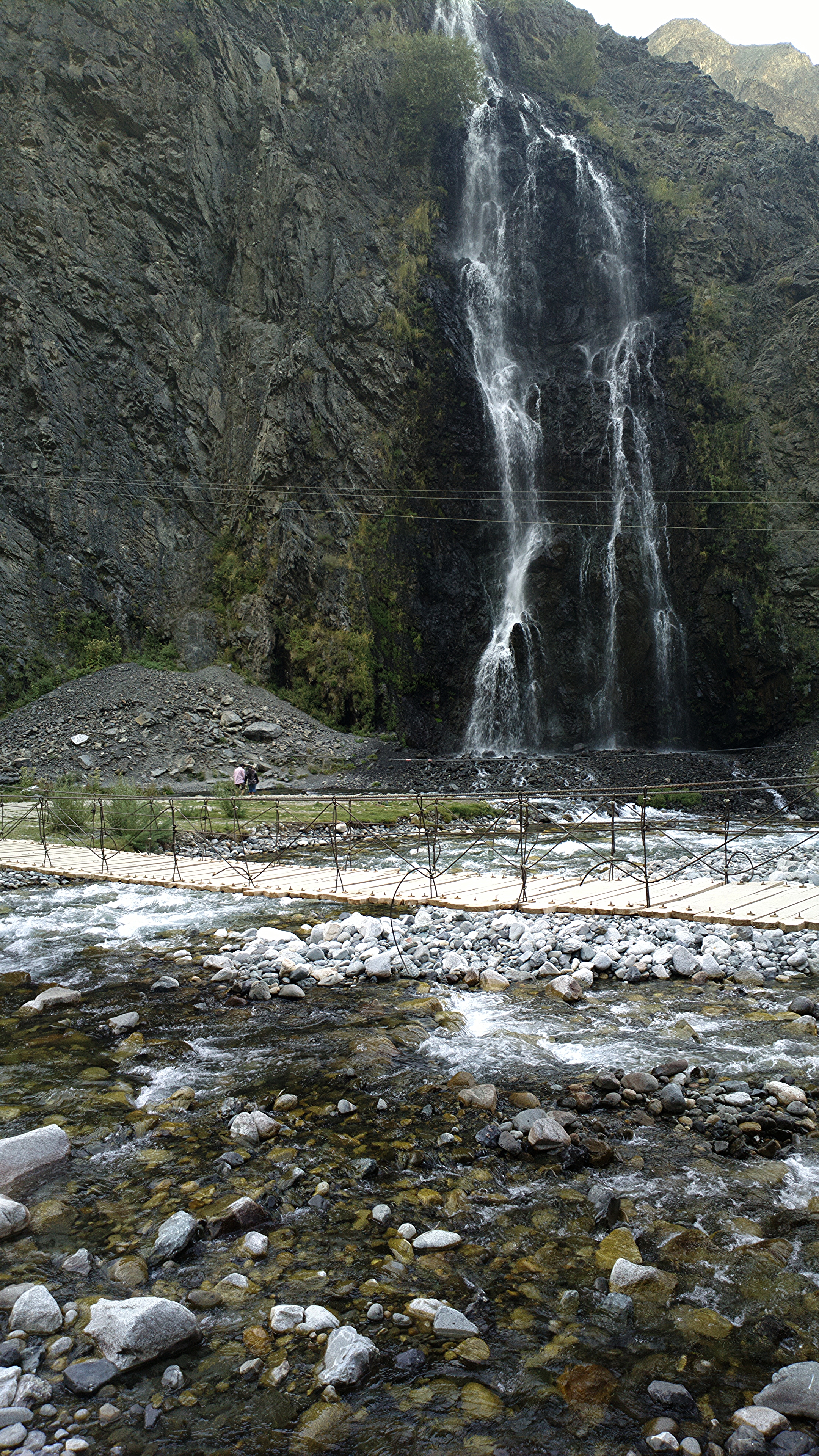
Manthokha Waterfall
Topographic Map of Manthoka Waterfall, Madhupur - Mantho Rd
Find elevation by address:

Places near Manthoka Waterfall, Madhupur - Mantho Rd:
Manthoka Waterfall
Manthokha
Kargil
Batalik
Srinagar - Ladakh Road
Turtuk
Chalunka
Fotu La
Lamayuru
Lamayuru Meditation Center
Lamayuru Gompa
Khalsi
Hanupatta
Uley
Ulley Garden
Uleytokpo
Suspol
Jammu And Kashmir
Saspul
Alchi Resort
Recent Searches:
- Elevation of Corso Fratelli Cairoli, 35, Macerata MC, Italy
- Elevation of Tallevast Rd, Sarasota, FL, USA
- Elevation of 4th St E, Sonoma, CA, USA
- Elevation of Black Hollow Rd, Pennsdale, PA, USA
- Elevation of Oakland Ave, Williamsport, PA, USA
- Elevation of Pedrógão Grande, Portugal
- Elevation of Klee Dr, Martinsburg, WV, USA
- Elevation of Via Roma, Pieranica CR, Italy
- Elevation of Tavkvetili Mountain, Georgia
- Elevation of Hartfords Bluff Cir, Mt Pleasant, SC, USA