Elevation of Manor, GA, USA
Location: United States > Georgia > Ware County >
Longitude: -82.573193
Latitude: 31.1038242
Elevation: 48m / 157feet
Barometric Pressure: 101KPa
Elevation Map:
Satellite Map:
Related Photos:

Visitor Meanwhile
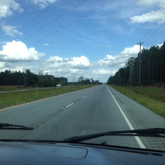
#driving
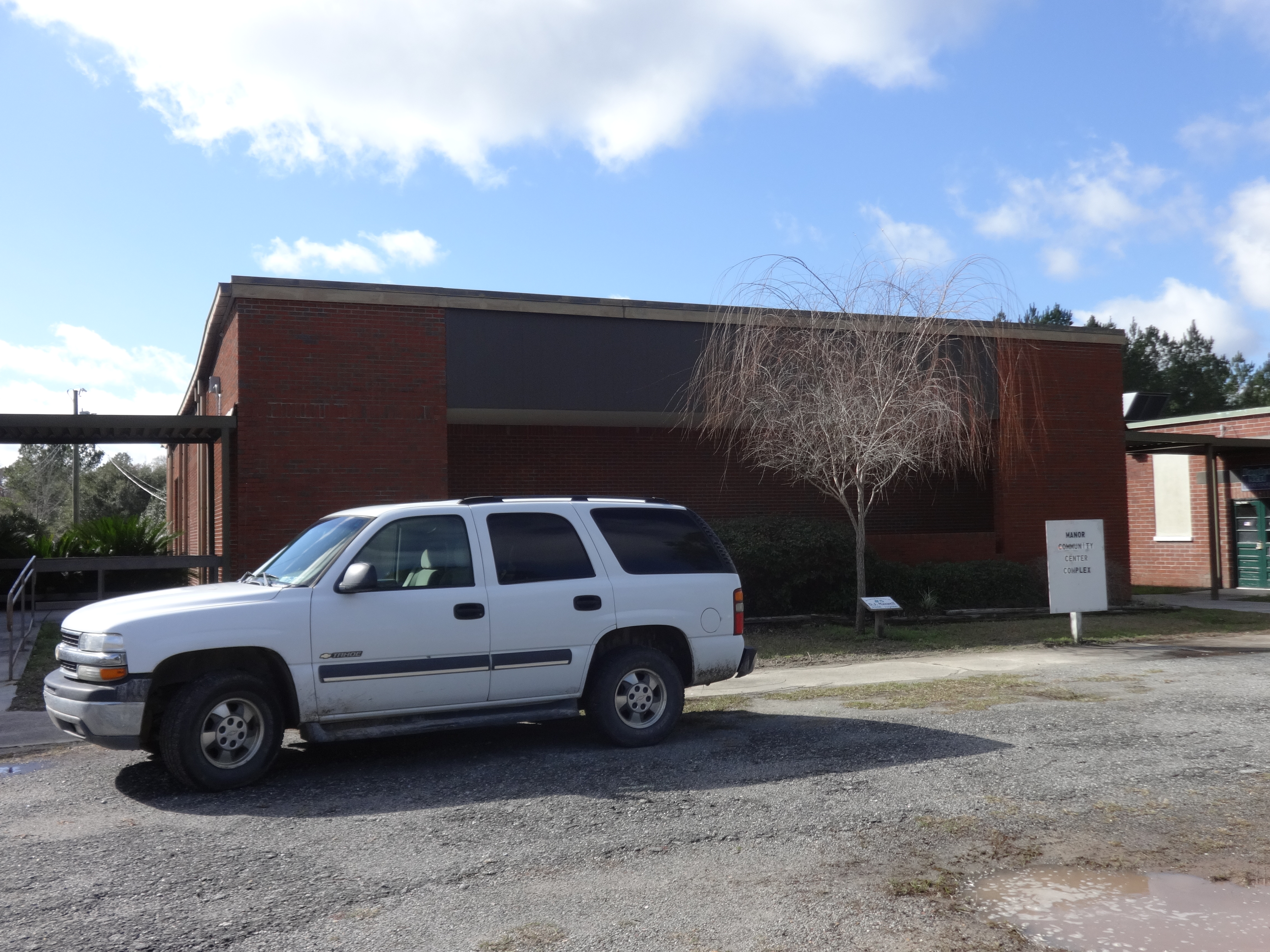
Manor Community Center Complex
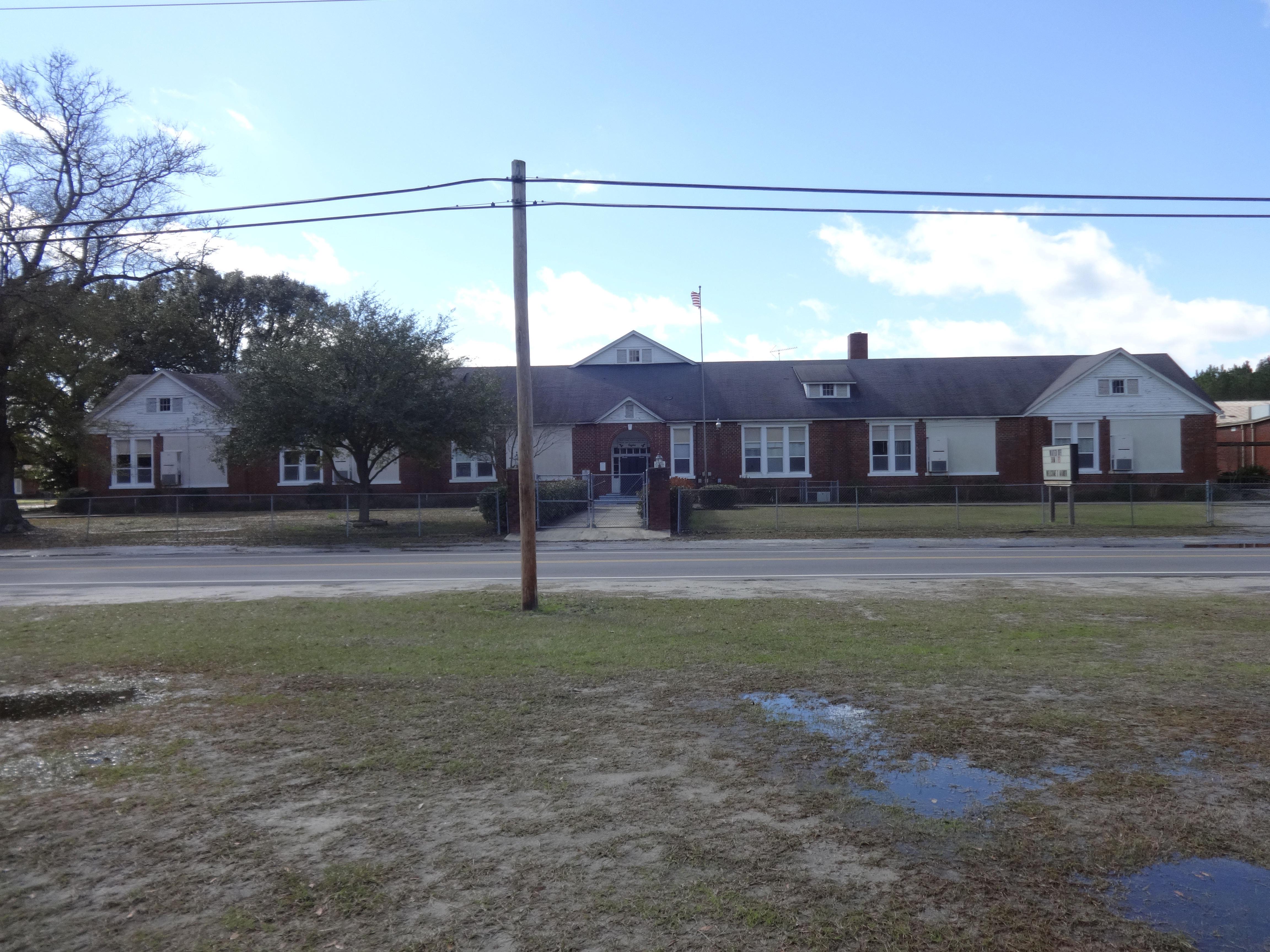
Manor School
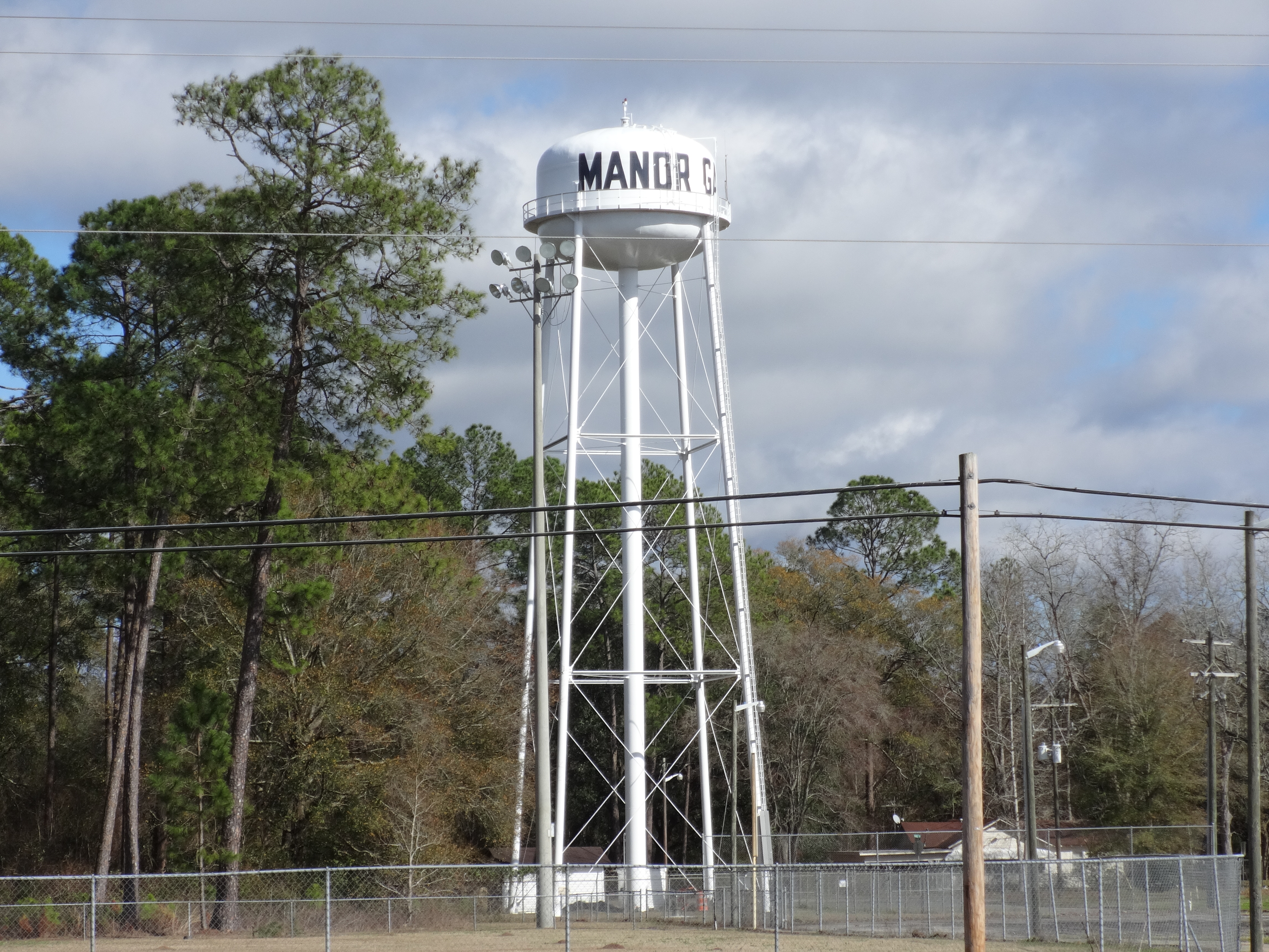
Manor Water Tower
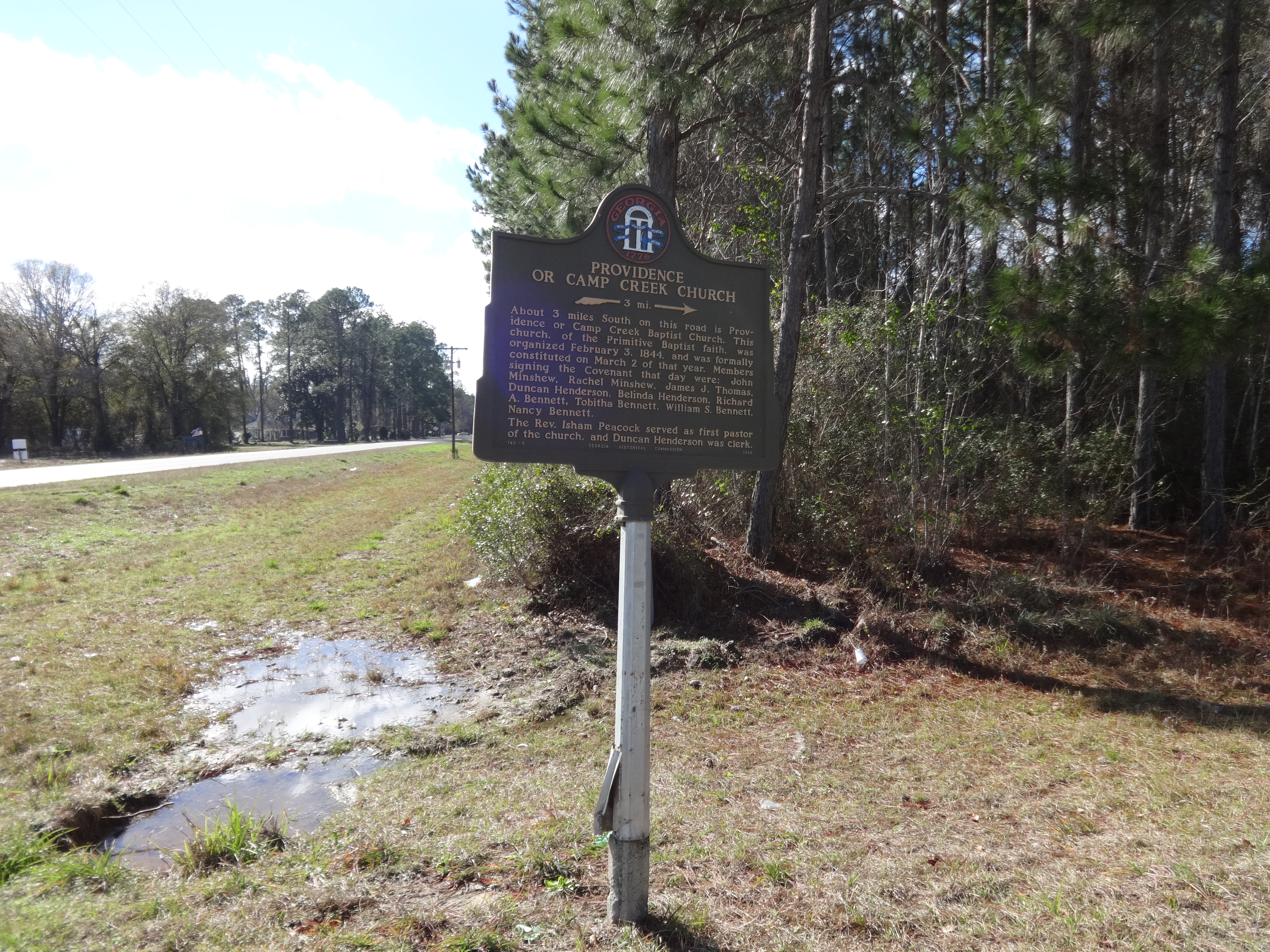
Providence or Camp Creek Church Historical Marker
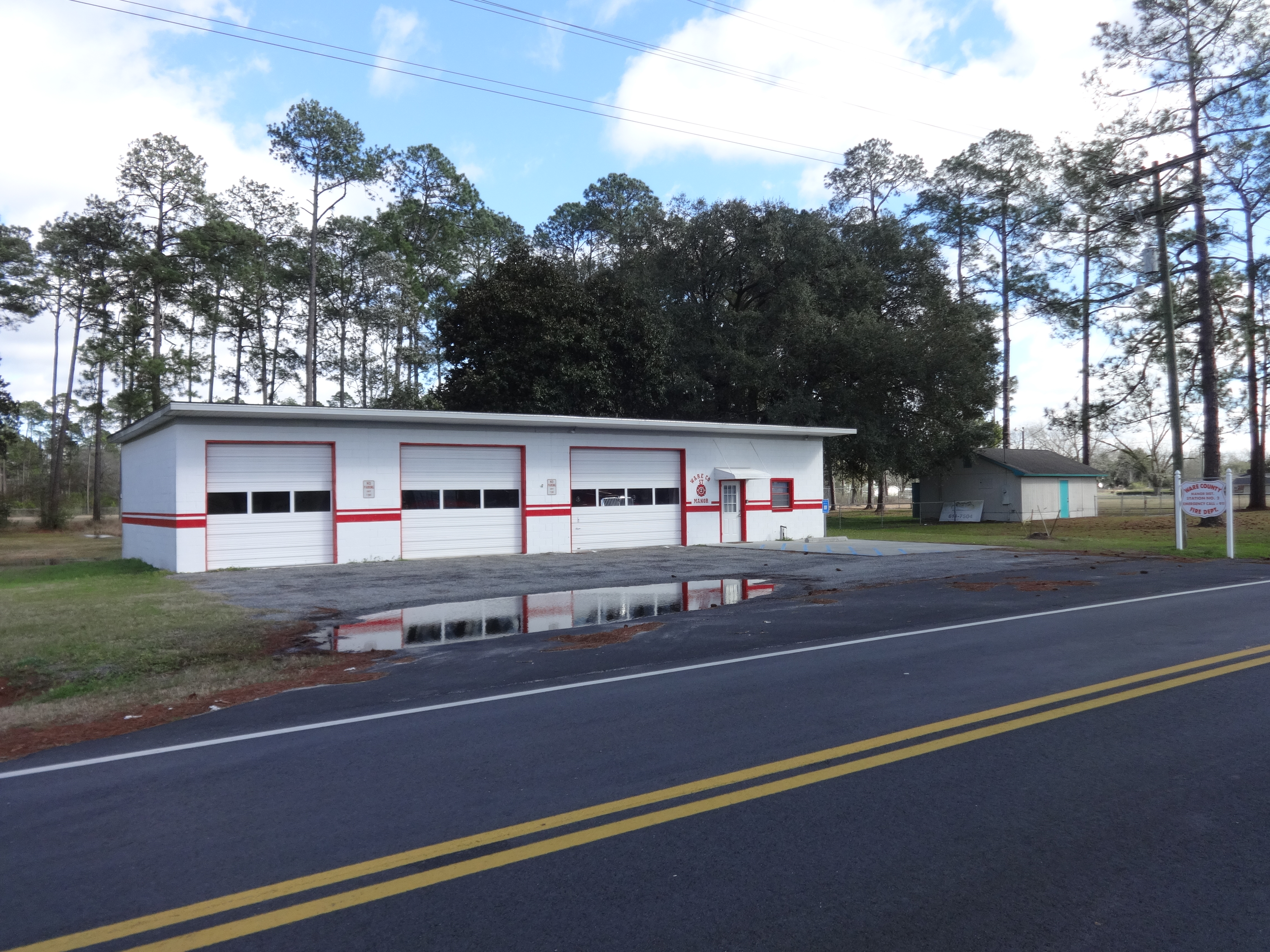
Ware County, Manor District, Station No. 2, Fire Department
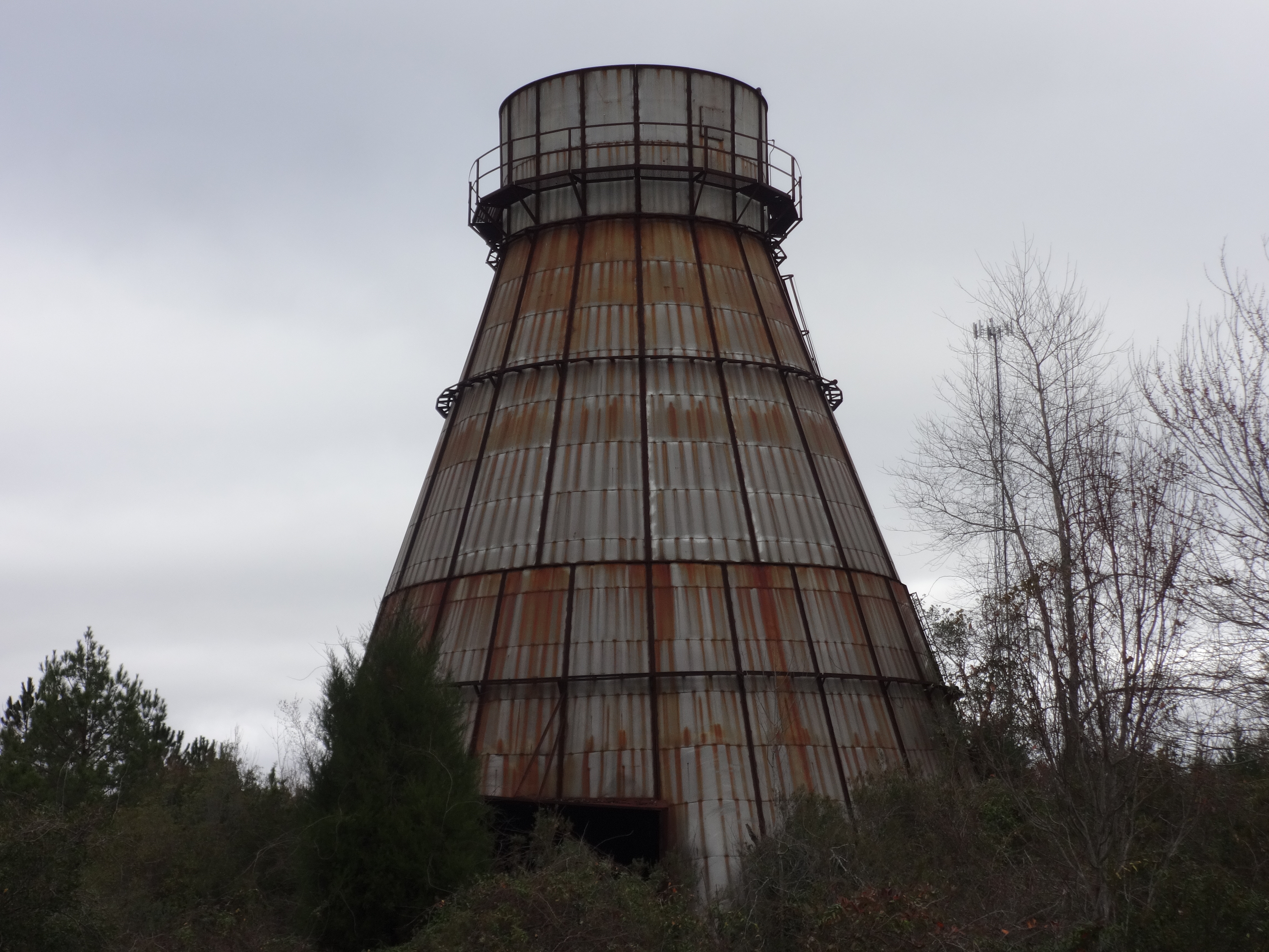
Abandoned wood burning tower close up, Ware County
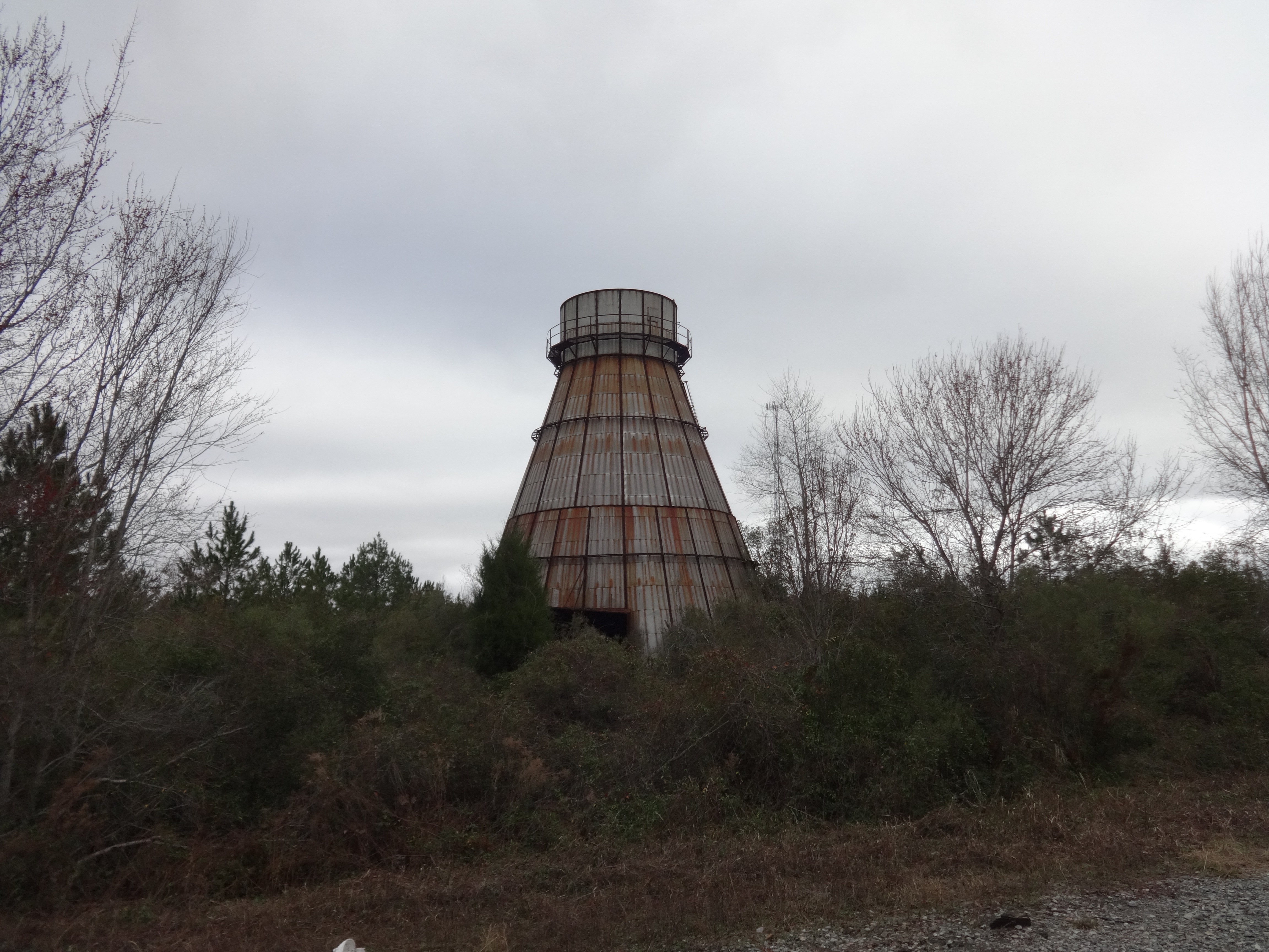
Abandoned wood burning tower, Ware County
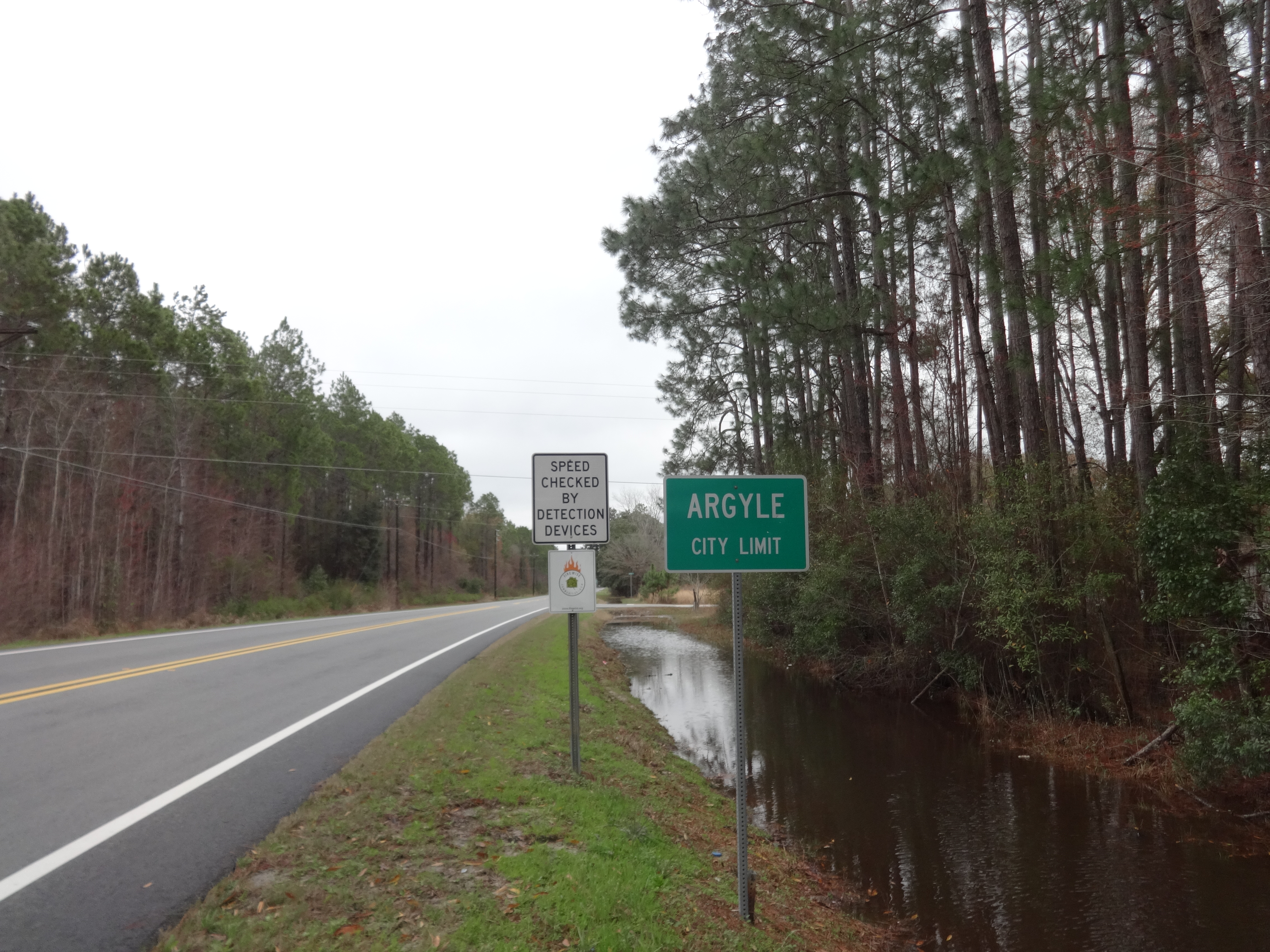
Argyle city limit, US84 EB
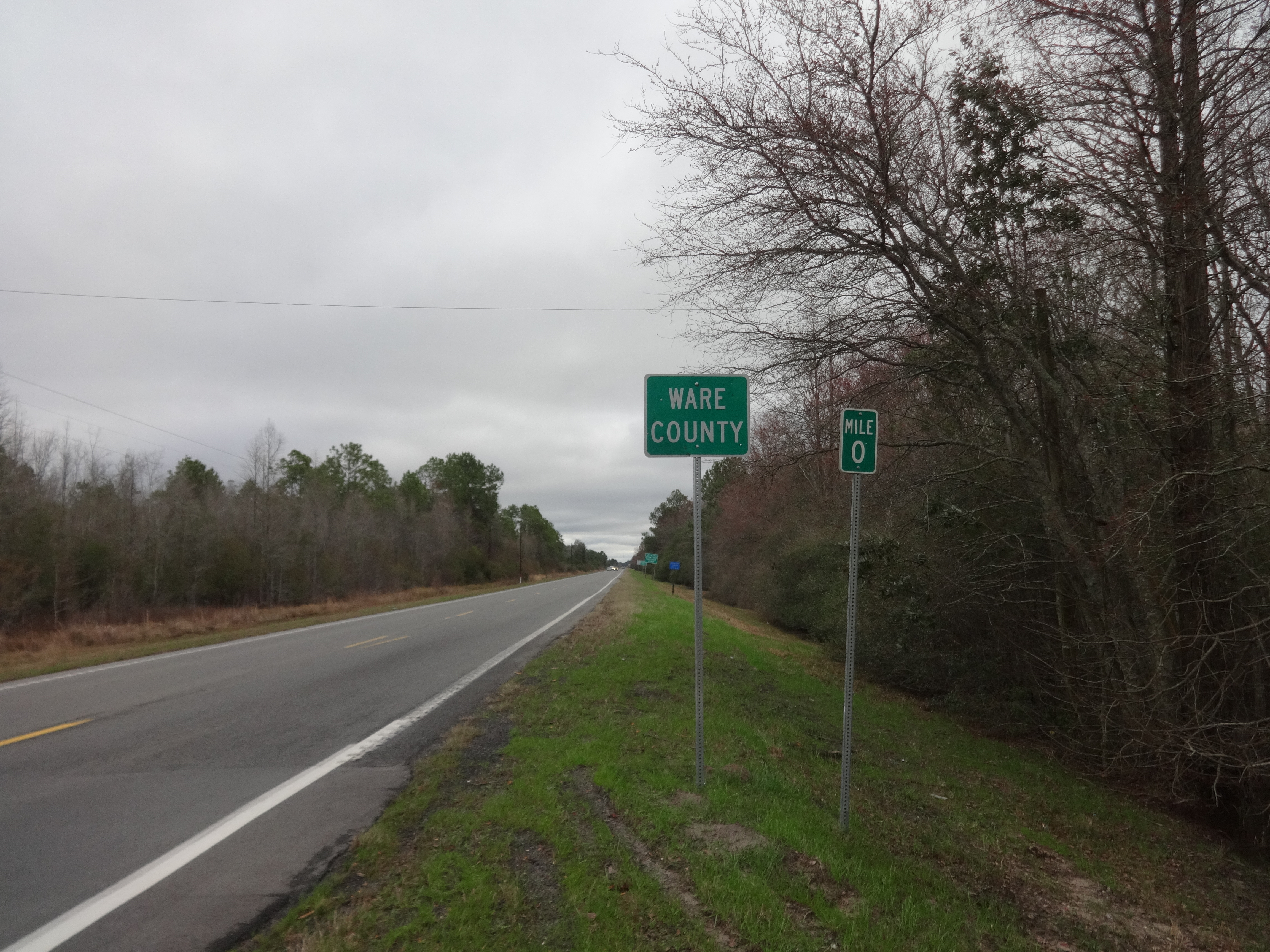
Ware County border, US84 EB

Outdoor furniture
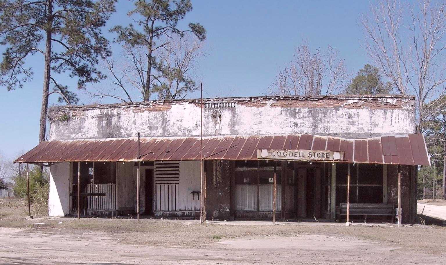
Old Cogdell store and Post Office
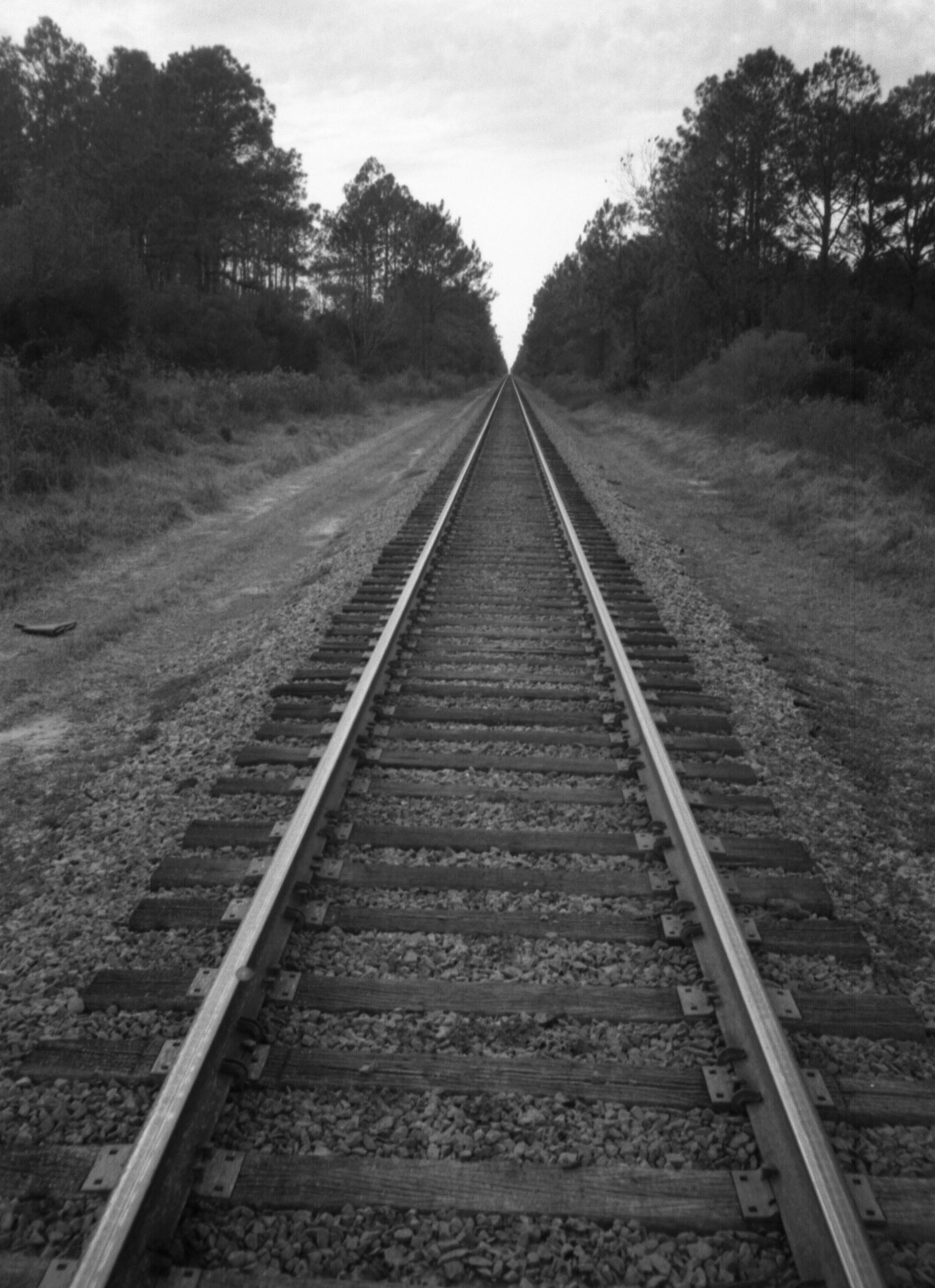
Ware County Tracks
Topographic Map of Manor, GA, USA
Find elevation by address:

Places in Manor, GA, USA:
Places near Manor, GA, USA:
Co Rd, Manor, GA, USA
2437 John Steedley Rd
3724 John Steedley Rd
Farms Edge Road
Argyle
80 Jamestown Rd, Argyle, GA, USA
Ware County
GA-38, Homerville, GA, USA
Valdosta Hwy, Waycross, GA, USA
E Dame Ave, Homerville, GA, USA
Co Rd 70, Waycross, GA, USA
Homerville
188 Tangle Wood Dr
Lovett Road
74 June St
Delaware Avenue
75 Garlington Heights, Waycross, GA, USA
Lake St, Waycross, GA, USA
Co Rd, Homerville, GA, USA
1107 Margaret St
Recent Searches:
- Elevation of Corso Fratelli Cairoli, 35, Macerata MC, Italy
- Elevation of Tallevast Rd, Sarasota, FL, USA
- Elevation of 4th St E, Sonoma, CA, USA
- Elevation of Black Hollow Rd, Pennsdale, PA, USA
- Elevation of Oakland Ave, Williamsport, PA, USA
- Elevation of Pedrógão Grande, Portugal
- Elevation of Klee Dr, Martinsburg, WV, USA
- Elevation of Via Roma, Pieranica CR, Italy
- Elevation of Tavkvetili Mountain, Georgia
- Elevation of Hartfords Bluff Cir, Mt Pleasant, SC, USA