Elevation of Manoojān, Kerman Province, Iran
Location: Iran > Kerman Province > Manoojan >
Longitude: 57.5051616
Latitude: 27.4475626
Elevation: 356m / 1168feet
Barometric Pressure: 97KPa
Elevation Map:
Satellite Map:
Related Photos:
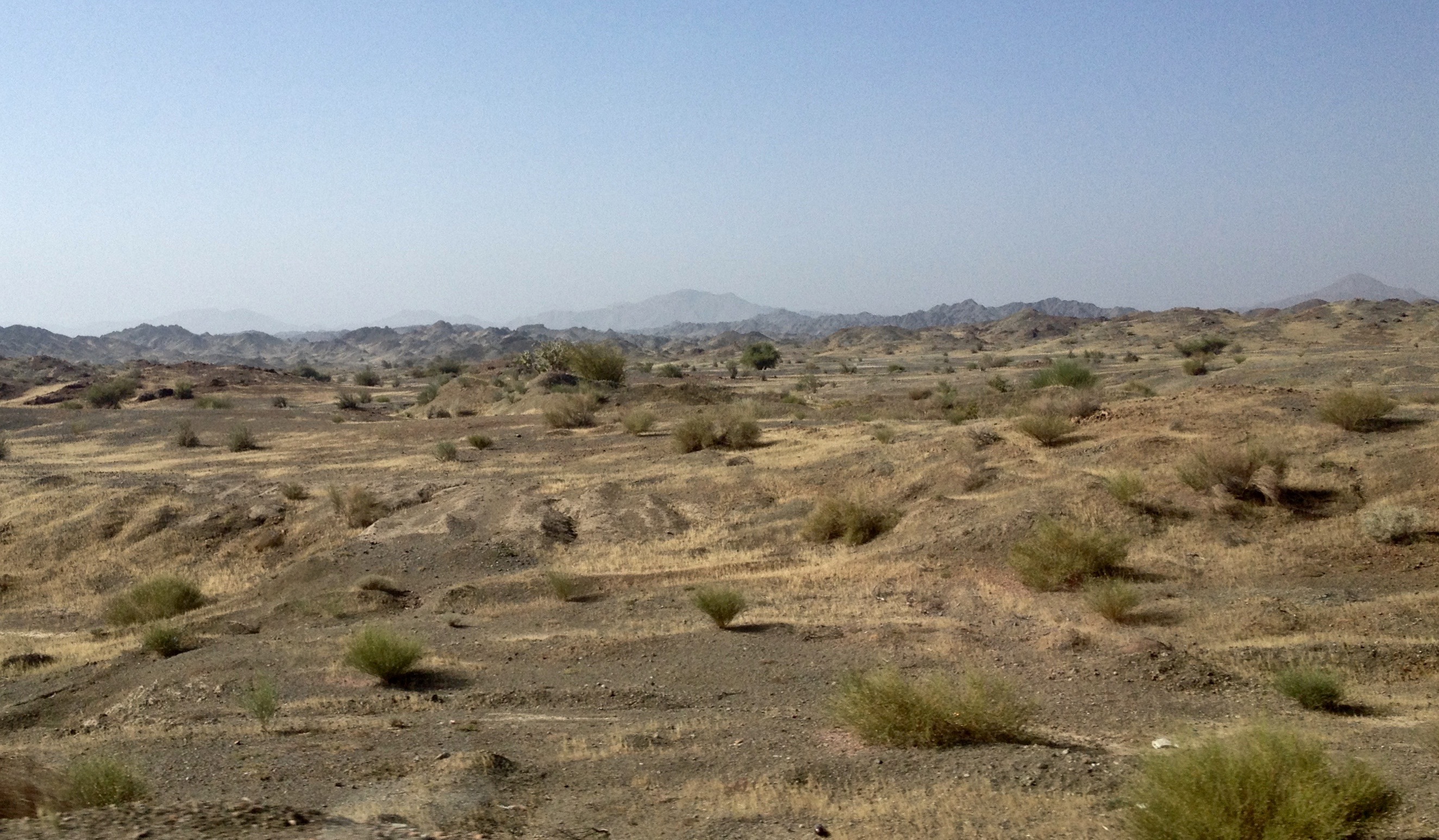
Rudan interior

Rudan interior

قلعه منوجان, Manojan Fort
Topographic Map of Manoojān, Kerman Province, Iran
Find elevation by address:

Places near Manoojān, Kerman Province, Iran:
Recent Searches:
- Elevation of Corso Fratelli Cairoli, 35, Macerata MC, Italy
- Elevation of Tallevast Rd, Sarasota, FL, USA
- Elevation of 4th St E, Sonoma, CA, USA
- Elevation of Black Hollow Rd, Pennsdale, PA, USA
- Elevation of Oakland Ave, Williamsport, PA, USA
- Elevation of Pedrógão Grande, Portugal
- Elevation of Klee Dr, Martinsburg, WV, USA
- Elevation of Via Roma, Pieranica CR, Italy
- Elevation of Tavkvetili Mountain, Georgia
- Elevation of Hartfords Bluff Cir, Mt Pleasant, SC, USA