Elevation of Manomet Point Rd, Plymouth, MA, USA
Location: United States > Massachusetts > Plymouth County > Plymouth >
Longitude: -70.545945
Latitude: 41.9224311
Elevation: 17m / 56feet
Barometric Pressure: 101KPa
Elevation Map:
Satellite Map:
Related Photos:

_RDX5046.jpg

_RDX3526.jpg

_D2_6876.jpg

_D2_6599.jpg

_D2_9234.jpg

7D2_9331.jpg

_D2_6820.jpg

Harbor View

_RDX4475.jpg

_RDX4796.jpg

7D2_2379.jpg

A11I9399.jpg

_D2_6743.jpg
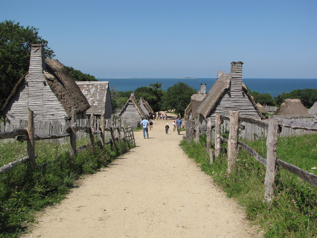
Plimoth Plantation - 1627 English Village

_D2_6807.jpg

_RDX8110.jpg

_RDX5691.jpg

_M4_1984.jpg

A11I9393.jpg

A11I9290.jpg

_RDX4743.jpg
Along the Rail Trail

Bench at Plymouth Light
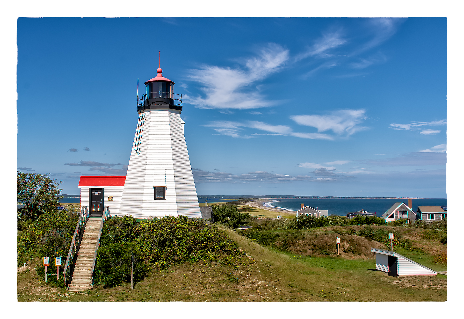
Plymouth Light Station

Morning Glow

Manomet Point

Sunrise!

HMS Bounty / Mayflower II

Plymouth Harbor

Manomet Point

Beach Grass
Duxbury Lighthouse

HMS Bounty
East Head Pond
22 Galleon (05 of 39)

_RDX3935.jpg

Manomet Point

Snow aerodynamics
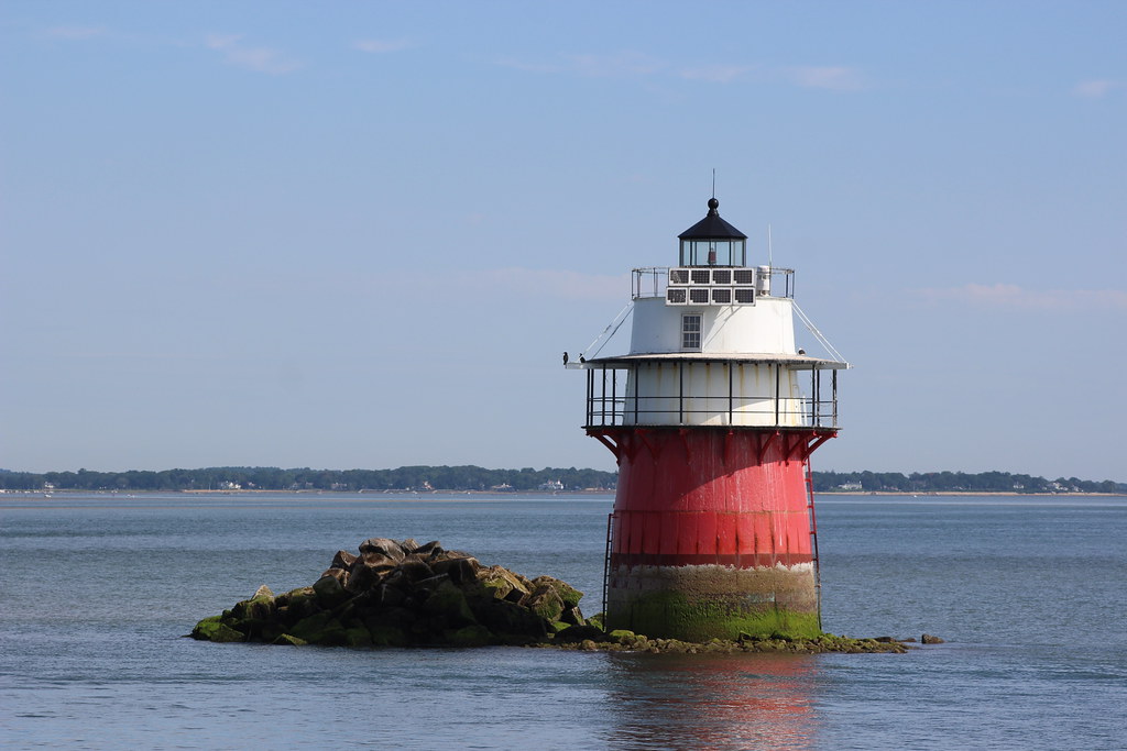
"Bug Light"
22 Galleon (02 of 39)

DSC03650.JPG

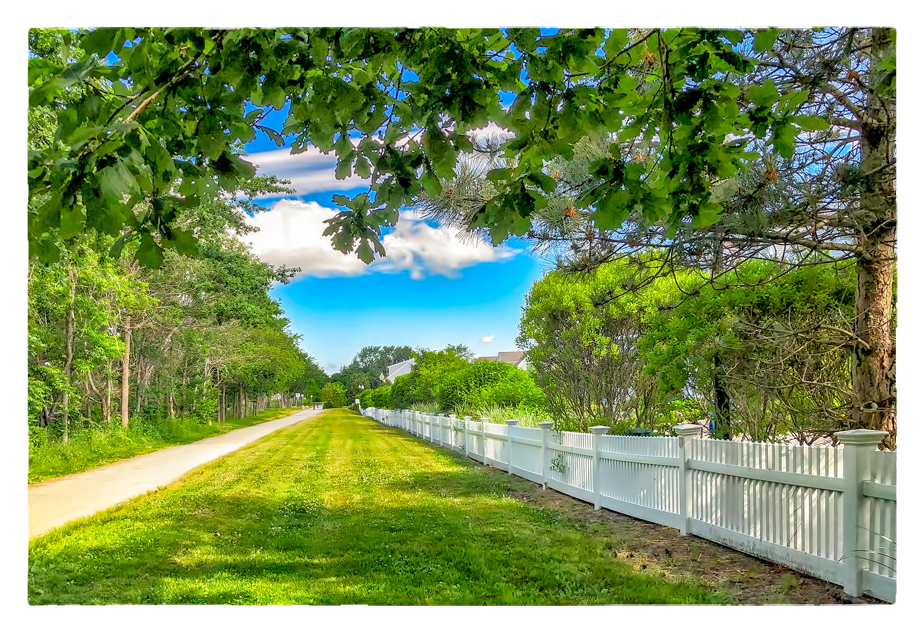
William Ave. Pathway
Topographic Map of Manomet Point Rd, Plymouth, MA, USA
Find elevation by address:

Places near Manomet Point Rd, Plymouth, MA, USA:
147 Manomet Point Rd
Manomet Point Road
52 Pearl St
8 Circuit Ave
796 State Rd
800 Massachusetts 3a
79 Manomet Ave
21 Greenwood Terrace
7 Delancy Dr
21 Clearwater Dr
9 Delancy Dr
11 Delancy Dr
13 Delancy Dr
13 Delancy Dr
Manomet
16 Delancy Dr
State Rd, Plymouth, MA, USA
Fresh Pond
10 Massasoit Ave
62 Melix Ave, Plymouth, MA, USA
Recent Searches:
- Elevation of Corso Fratelli Cairoli, 35, Macerata MC, Italy
- Elevation of Tallevast Rd, Sarasota, FL, USA
- Elevation of 4th St E, Sonoma, CA, USA
- Elevation of Black Hollow Rd, Pennsdale, PA, USA
- Elevation of Oakland Ave, Williamsport, PA, USA
- Elevation of Pedrógão Grande, Portugal
- Elevation of Klee Dr, Martinsburg, WV, USA
- Elevation of Via Roma, Pieranica CR, Italy
- Elevation of Tavkvetili Mountain, Georgia
- Elevation of Hartfords Bluff Cir, Mt Pleasant, SC, USA